The Rookery
Wood, Forest in Lincolnshire East Lindsey
England
The Rookery
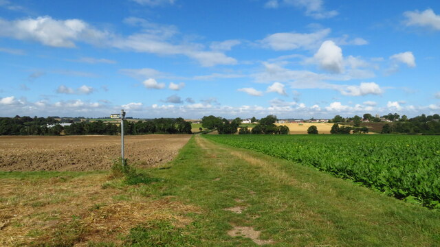
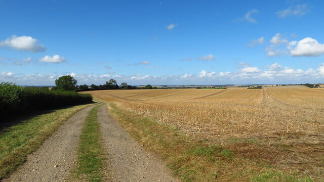
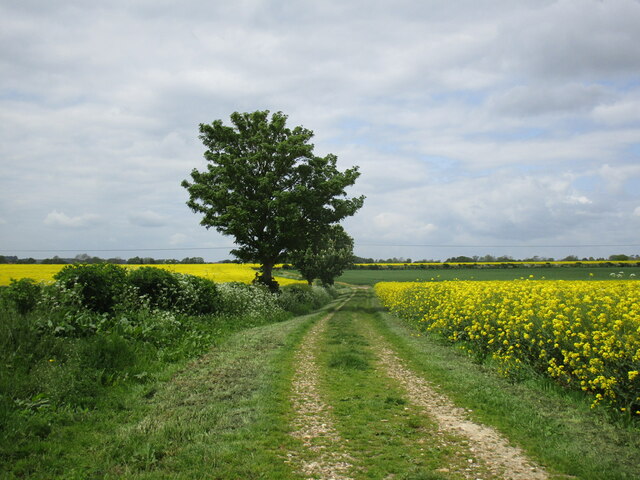
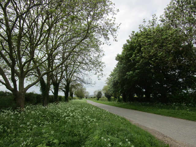
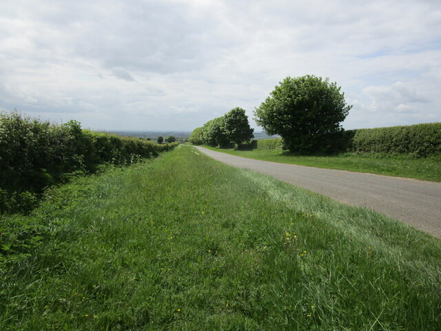
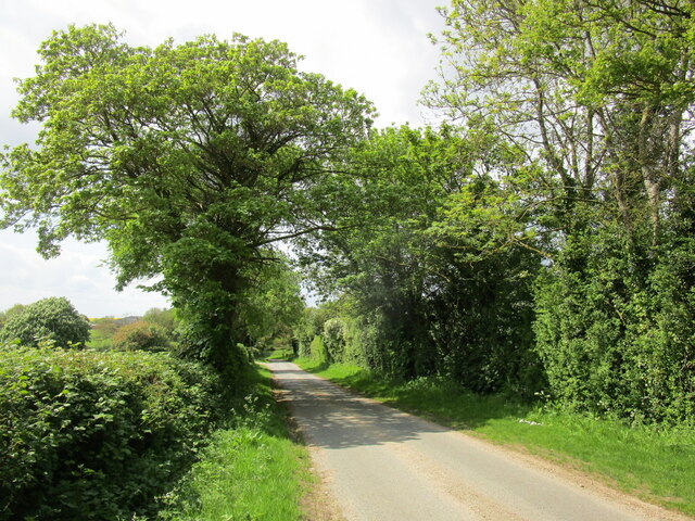
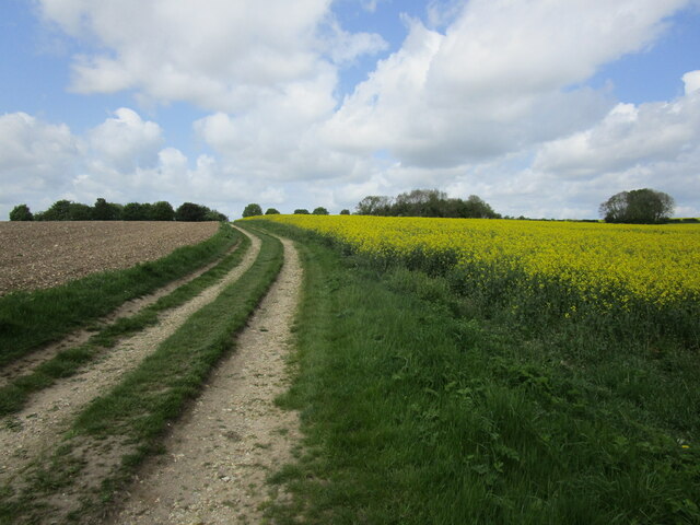
The Rookery, located in Lincolnshire, is a captivating woodland area renowned for its majestic beauty and tranquil atmosphere. Nestled amidst the picturesque landscape of Wood, Forest, The Rookery offers a haven of serenity for nature enthusiasts and avid explorers alike.
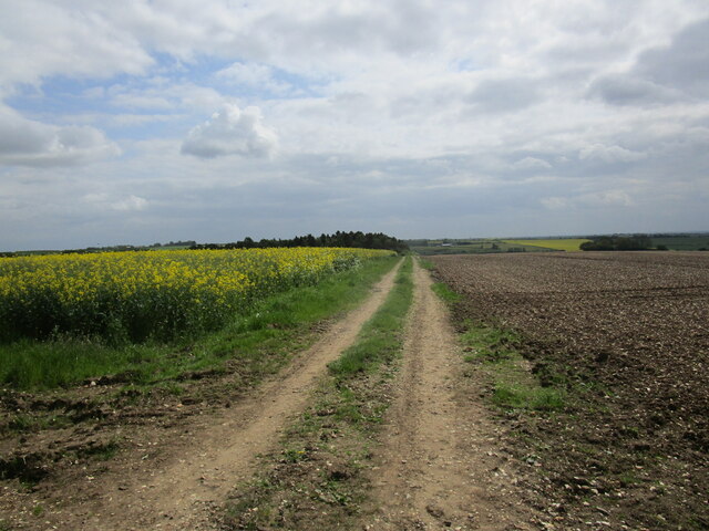
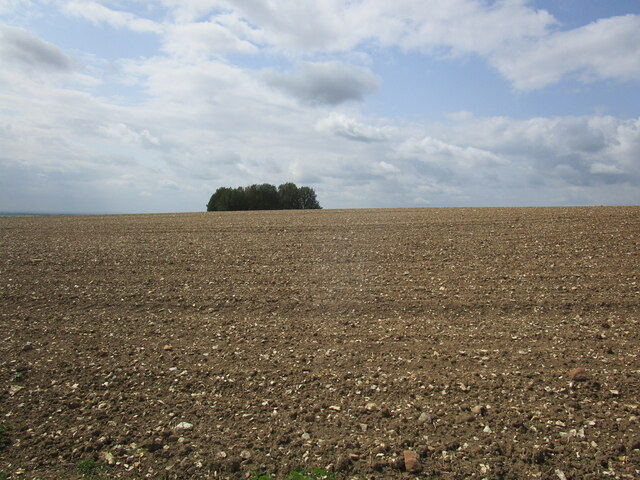
Covering an expansive area of lush greenery, this woodland is home to a diverse range of flora and fauna, making it a prime destination for wildlife enthusiasts. The forest boasts towering oak and beech trees, their branches intertwined to create a verdant canopy that filters sunlight, casting enchanting shadows on the forest floor below. The forest is also adorned with an array of seasonal wildflowers, adding vibrant splashes of color to the landscape.
Wandering through The Rookery, visitors can experience a sense of tranquility and escape from the hustle and bustle of everyday life. The woodland trails meander through the forest, revealing hidden glades, babbling brooks, and peaceful ponds. The melodious songs of woodland birds provide a soothing soundtrack to one's exploration.
The Rookery is also steeped in history, with remnants of ancient settlements and archaeological sites scattered throughout the woodland. These fascinating artifacts offer a glimpse into the rich past of the area and provide an opportunity for visitors to delve into its intriguing heritage.
Whether it's a leisurely stroll, a picnic amidst nature's embrace, or an adventure in search of wildlife and history, The Rookery in Lincolnshire promises an unforgettable experience for all who venture into its enchanting embrace.
If you have any feedback on the listing, please let us know in the comments section below.
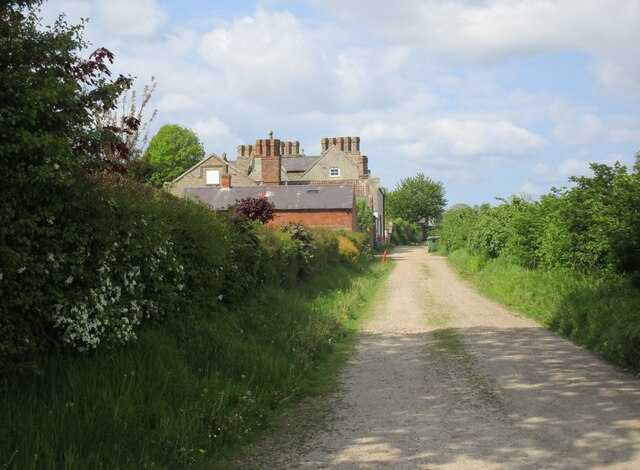
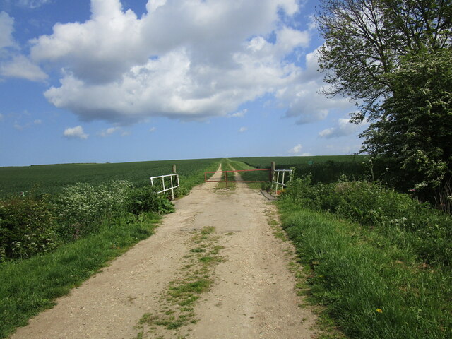
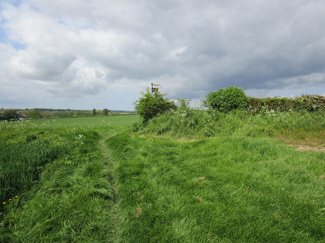
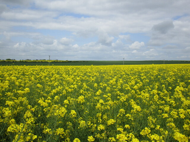
The Rookery Images
Images are sourced within 2km of 53.235286/-0.095069601 or Grid Reference TF2772. Thanks to Geograph Open Source API. All images are credited.
The Rookery is located at Grid Ref: TF2772 (Lat: 53.235286, Lng: -0.095069601)
Administrative County: Lincolnshire
District: East Lindsey
Police Authority: Lincolnshire
What 3 Words
///lately.outnumber.cave. Near Horncastle, Lincolnshire
Nearby Locations
Related Wikis

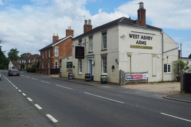
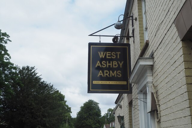
West Ashby
West Ashby is a village and civil parish in the East Lindsey district of Lincolnshire, England. It is situated on the Horncastle to Louth A153 road, and...

Low Toynton
Low Toynton is a hamlet and civil parish in the East Lindsey district of Lincolnshire, England. The population of the civil parish (including Fulletby...

Fulletby
Fulletby is a village and a civil parish in the East Lindsey district of Lincolnshire, England. It is in the Lincolnshire Wolds, and 3 miles (5 km) north...

High Toynton
High Toynton is a village and civil parish in the East Lindsey district of Lincolnshire, England. It is situated approximately 1.5 miles (2.4 km) east...

A158 road
The A158 road is a major route that heads from Lincoln in the west to Skegness on the east coast. The road is located entirely in the county of Lincolnshire...

Horncastle
Horncastle is a market town and civil parish in the East Lindsey district in Lincolnshire, England. It is 17 miles (27 km) east of Lincoln. Its population...

Queen Elizabeth's Grammar School, Horncastle
Queen Elizabeth's Grammar School, Horncastle, is a co-educational grammar school with academy status in Horncastle, Lincolnshire, England. In 2009, there...
St Mary's Church, Horncastle
St. Mary's Church, Horncastle, Lincolnshire, England, dates from the early 13th century and is dedicated to Saint Mary. It serves the Ecclesiastical Parish...
Nearby Amenities
Located within 500m of 53.235286,-0.095069601Have you been to The Rookery?
Leave your review of The Rookery below (or comments, questions and feedback).