Ash Copse
Wood, Forest in Sussex Horsham
England
Ash Copse
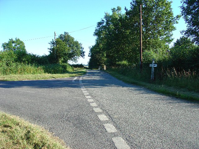
Ash Copse is a picturesque woodland located in Sussex, England. It covers an area of approximately 30 acres and is situated in close proximity to the village of Ashurst Wood. The copse is characterized by its dense population of ash trees, which give the woodland its name.
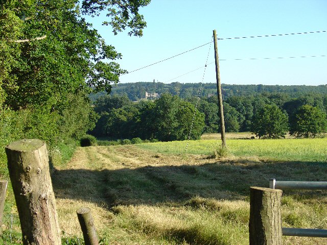
The woodland is known for its scenic beauty and tranquil atmosphere. The tall, slender ash trees create a natural canopy, allowing dappled sunlight to filter through and create a magical ambiance. The forest floor is covered in a thick layer of fallen leaves, creating a soft carpet underfoot and providing a habitat for various woodland creatures.
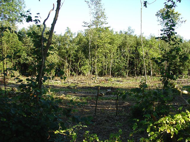
Ash Copse is home to a diverse range of flora and fauna. The woodland supports a rich variety of bird species, including woodpeckers, owls, and warblers. Small mammals such as squirrels, foxes, and badgers can also be found within the copse. In the springtime, the woodland comes alive with the vibrant colors of wildflowers, including bluebells and primroses.
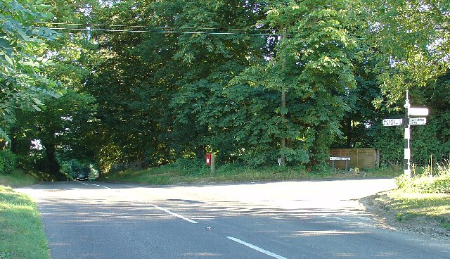
The copse is a popular destination for nature lovers, walkers, and photographers. Its well-maintained footpaths allow visitors to explore the woodland and discover its hidden treasures. A small stream meanders through the copse, adding to its charm and providing a peaceful soundtrack.
Ash Copse is not only a beautiful natural habitat but also plays an important role in the conservation of local biodiversity. The woodland is carefully managed to ensure the preservation of its delicate ecosystem. It is a valuable asset to the local community, providing a place for recreation, education, and a connection with nature.
If you have any feedback on the listing, please let us know in the comments section below.
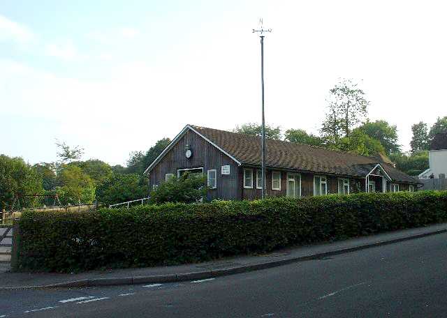
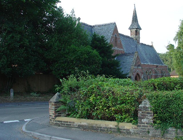
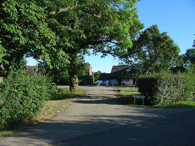
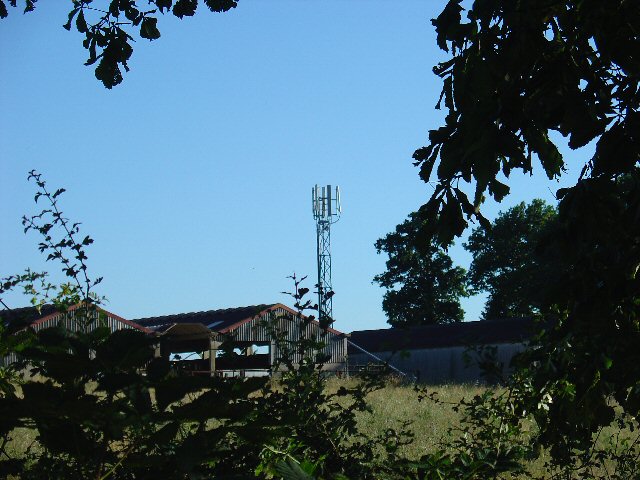
Ash Copse Images
Images are sourced within 2km of 51.093194/-0.26080615 or Grid Reference TQ2134. Thanks to Geograph Open Source API. All images are credited.


Ash Copse is located at Grid Ref: TQ2134 (Lat: 51.093194, Lng: -0.26080615)
Administrative County: West Sussex
District: Horsham
Police Authority: Sussex
What 3 Words
///sues.feel.submerge. Near Bewbush, West Sussex
Nearby Locations
Related Wikis

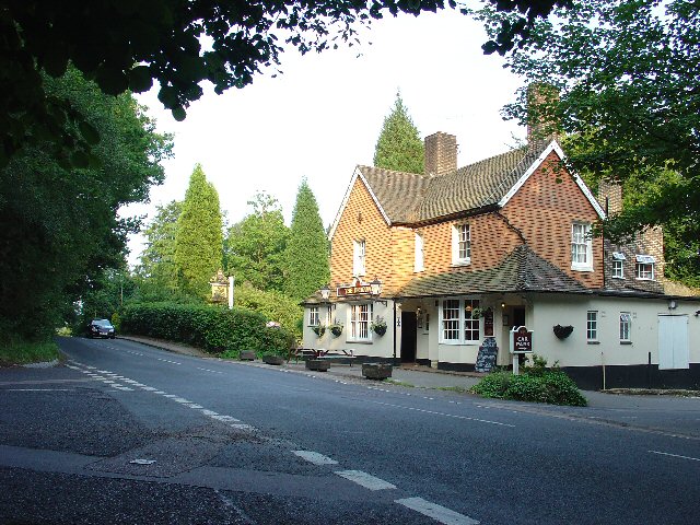
Faygate
Faygate is a village in the Horsham district of West Sussex, England. It lies on the A264 road 3.4 miles (5.4 km) south west of Crawley. It has a railway...

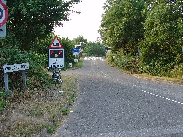
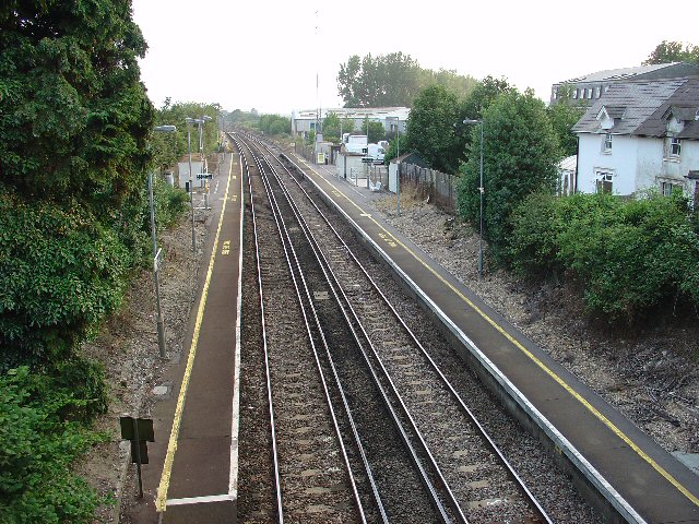
Faygate railway station
Faygate Station is located on the Arun Valley Line, between Littlehaven and Ifield, 34 miles 28 chains (55.3 km) down the line from London Bridge, measured...
Kilnwood Vale
Kilnwood Vale is a village in the Horsham district of West Sussex, England. It borders the High Weald Area of Outstanding Natural Beauty along the A264...

Colgate, West Sussex
Colgate is a small village and civil parish in the Horsham district of West Sussex, England, about four miles (6 km) north east of Horsham. A small village...

House Copse
House Copse is a 12.5-hectare (31-acre) biological Site of Special Scientific Interest west of Crawley in West Sussex.This ancient wood was formerly managed...

Roffey Road Halt railway station
Roffey Road Halt is a now disused station on the Arun Valley Line in West Sussex, England and was the second station north from Horsham on the stretch...
Horsham and Crawley (UK Parliament constituency)
Horsham and Crawley was a parliamentary constituency centred on the towns of Horsham and Crawley in West Sussex. It returned one Member of Parliament...
North Horsham railway station
North Horsham is a proposed railway station in Horsham, West Sussex which would serve the North Horsham Business Park. The proposal was backed by West...
Related Videos

Roffey Park Institute Horsham - Secret Hotel - A True Hidden Gem!
This cost £90 with free breakfast booked via hotels.com.


Tough Mudder London South 2023
What a fitting way to end to 2023 Tough Mudder UK Season. Tough Mudder London South has always been my favourite venue.
Nearby Amenities
Located within 500m of 51.093194,-0.26080615Have you been to Ash Copse?
Leave your review of Ash Copse below (or comments, questions and feedback).