Horse Wood
Wood, Forest in Sussex Horsham
England
Horse Wood
Horse Wood is a picturesque forest located in Sussex, England. Spread over an area of approximately 100 acres, this woodland is a nature lover's paradise. The wood is well-known for its abundance of horse chestnut trees, which gives it its name. These trees, with their large, distinctive leaves and spiky green husks, provide a stunning display of colors in the autumn season.
The forest is a haven for various wildlife species, making it a popular spot for nature enthusiasts and bird watchers. The tranquil atmosphere of Horse Wood is often interrupted by the chirping of birds, including woodpeckers and song thrushes. In addition, visitors may catch glimpses of small mammals such as squirrels and rabbits scurrying through the undergrowth.
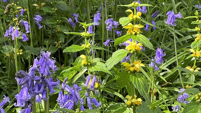
Trails wind their way through the forest, offering visitors the opportunity to explore the wood at their leisure. The paths are well-maintained, making it accessible to both hikers and cyclists. Along the way, visitors can enjoy the beauty of the ancient woodland, with its towering oak and beech trees. The forest floor is covered in a carpet of wildflowers during the spring and summer months, adding bursts of color to the already vibrant landscape.
Horse Wood is also home to a variety of fungi, including the iconic fly agaric with its red cap and white spots. These mushrooms can often be found nestled amongst the fallen leaves, adding a touch of magic to the woodland scenery.
Overall, Horse Wood in Sussex is a stunning forest that offers a peaceful and immersive experience in nature. Whether you are an avid nature lover or simply seeking a respite from the hustle and bustle of daily life, Horse Wood is a place worth exploring.
If you have any feedback on the listing, please let us know in the comments section below.
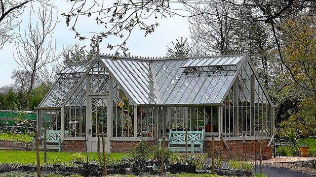
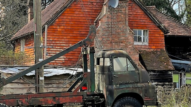
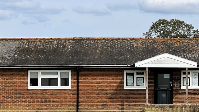
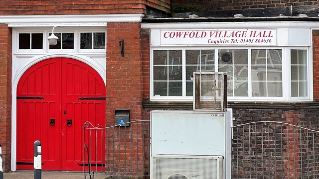
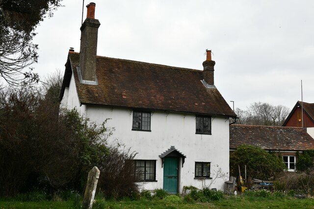
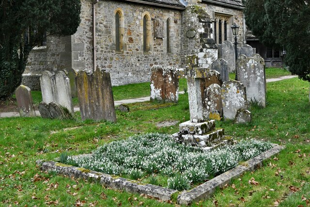
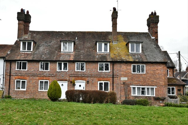
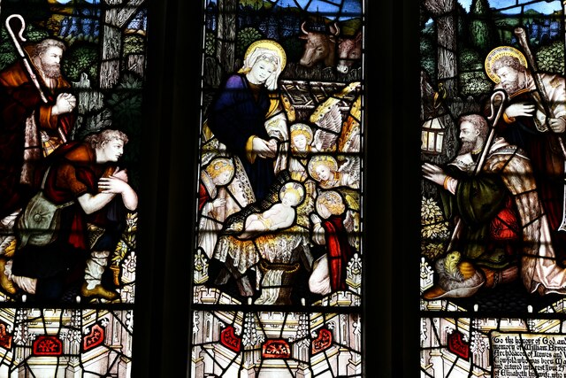
Horse Wood Images
Images are sourced within 2km of 50.991018/-0.26464237 or Grid Reference TQ2122. Thanks to Geograph Open Source API. All images are credited.


Horse Wood is located at Grid Ref: TQ2122 (Lat: 50.991018, Lng: -0.26464237)
Administrative County: West Sussex
District: Horsham
Police Authority: Sussex
What 3 Words
///watching.picnic.discrepancy. Near Cowfold, West Sussex
Nearby Locations
Related Wikis

Cowfold
Cowfold is a village and civil parish between Billingshurst and Haywards Heath in the Horsham District of West Sussex, England. The village is at the intersection...

St Hugh's Charterhouse
St Hugh's Charterhouse, Parkminster, is the only post-Reformation Carthusian monastery in the United Kingdom. It is located in the parish of Cowfold, West...

Crabtree, West Sussex
Crabtree is a hamlet in the parish of Lower Beeding and in Horsham District of West Sussex, England. It lies on the A281 road 4.4 miles (7.1 km) southeast...

Colwood, West Sussex
Colwood is a village near Warninglid in West Sussex, England. It is the site of Colwood Manor. == References == The geographic coordinates are from the...

Leonardslee
Leonardslee is an English country house and English landscape garden and woodland garden in Lower Beeding, near Horsham, West Sussex, England. The Grade...
Wineham
Wineham is a hamlet mainly in the Shermanbury civil parish (and the same ecclesiastical parish) of the Horsham district of West Sussex, England. It is...

West Grinstead railway station
West Grinstead was a railway station on the Steyning Line which served the village of West Grinstead. It had a goods yard with a cattle loading bay and...

Maplehurst, West Sussex
Maplehurst is a hamlet in the civil parish of Nuthurst, and the Horsham District of West Sussex, England. The hamlet is on the Copsale to Nuthurst road...
Nearby Amenities
Located within 500m of 50.991018,-0.26464237Have you been to Horse Wood?
Leave your review of Horse Wood below (or comments, questions and feedback).