Eastlands Wood

Wood, Forest in Sussex Horsham

England

Eastlands Wood

St Hugh's Charterhouse monastery This place has huge footprint on the OS map, yet I understand that only about 25 monks live here. The spire is visible from miles away on the Downs, yet you could easily drive down the nearby A281 without even spotting it.
St Hugh's Charterhouse monastery Credit: Ian Cunliffe

Eastlands Wood is a picturesque woodland located in the county of Sussex, England. Covering an area of approximately 50 acres, it is a well-preserved example of a traditional English wood and is a popular destination for nature enthusiasts and walkers alike.

The wood is characterized by its diverse range of tree species, including oak, beech, ash, and birch, which create a rich and vibrant canopy overhead. The forest floor is covered with a carpet of bluebells and wildflowers during the springtime, adding a splash of color to the landscape.

Several well-maintained footpaths wind their way through the wood, allowing visitors to explore its various sections and discover its hidden treasures. Along these paths, one can find ancient trees with gnarled trunks, providing a glimpse into the history and age of the wood.

Eastlands Wood is also home to a variety of wildlife, including deer, squirrels, and a wide range of bird species. Birdwatchers can spot woodpeckers, owls, and various songbirds in the treetops, while the more observant visitor may catch a glimpse of a fox or badger as they go about their daily routines.

The wood is managed by the local council and is open to the public throughout the year. It provides a peaceful and tranquil escape from the hustle and bustle of daily life, offering visitors a chance to connect with nature and enjoy the beauty of the Sussex countryside.

If you have any feedback on the listing, please let us know in the comments section below.

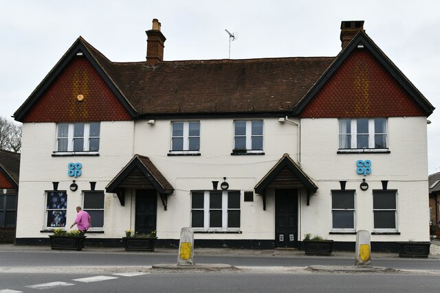
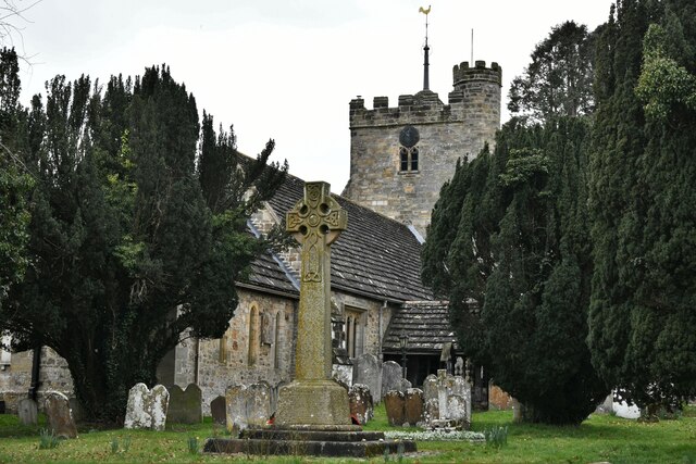
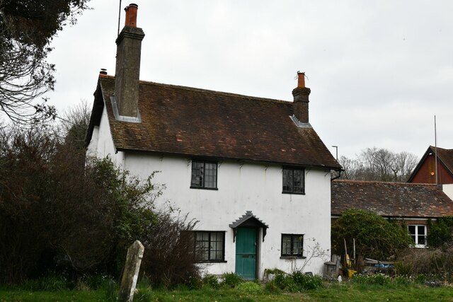
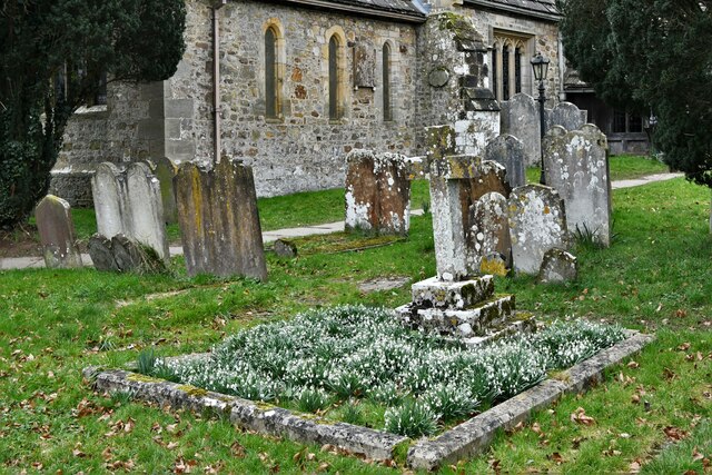
Eastlands Wood Images

Images are sourced within 2km of 50.986711/-0.26770959 or Grid Reference TQ2122. Thanks to Geograph Open Source API. All images are credited.

St Hugh's Charterhouse monastery This place has huge footprint on the OS map, yet I understand that only about 25 monks live here. The spire is visible from miles away on the Downs, yet you could easily drive down the nearby A281 without even spotting it.
St Hugh's Charterhouse monastery
This place has huge footprint on the OS map, yet I understand that only about 25 monks live here. The spire is visible from miles away on the Downs, yet you could easily drive down the nearby A281 without even spotting it.
Greenhouse near Pict's Farm
Ashurst Cottage There was also a derelict phone box hereabouts.
Ashurst Cottage
There was also a derelict phone box hereabouts.
Scout hut
Scout hut
Cowfold Village Hall
Oakfield Cottages
Oakfield Cottages
Cowfold: The Street Co-op convenience store
Cowfold, St. Peter's Church: North eastern aspect
Cowfold: The Olde House
Cowfold, St. Peter's Church: North east part of the churchyard
Cowfold: Margaret Cottages
Cowfold, St. Peter's Church: Stained glass window 1
Cowfold, St. Peter's Church: Stained glass window 1 (detail)
Cowfold, St. Peter's Church: Stained glass window 2
Cowfold, St. Peter's Church: Stained glass window 3, memorial insert
Cowfold, St. Peter's Church: Stained glass window 4
Cowfold, St. Peter's Church: The Peirce and Heald memorial
Cowfold, St. Peter's Church: The Bruere Otter memorial
Show me another place!

Eastlands Wood is located at Grid Ref: TQ2122 (Lat: 50.986711, Lng: -0.26770959)

Administrative County: West Sussex

District: Horsham

Police Authority: Sussex

What 3 Words

///mile.paused.chess. Near Cowfold, West Sussex

Related Wikis

Cowfold

Cowfold is a village and civil parish between Billingshurst and Haywards Heath in the Horsham District of West Sussex, England. The village is at the intersection...

St Hugh's Charterhouse

St Hugh's Charterhouse, Parkminster, is the only post-Reformation Carthusian monastery in the United Kingdom. It is located in the parish of Cowfold, West...

Crabtree, West Sussex

Crabtree is a hamlet in the parish of Lower Beeding and in Horsham District of West Sussex, England. It lies on the A281 road 4.4 miles (7.1 km) southeast...

Littleworth, West Sussex

Littleworth is a hamlet in the Horsham District of West Sussex, England. It lies on the Partridge Green to Maplehurst road 2.9 miles (4.7 km) north of...

Wineham

Wineham is a hamlet mainly in the Shermanbury civil parish (and the same ecclesiastical parish) of the Horsham district of West Sussex, England. It is...

Henfield (electoral division)

Henfield is an electoral division of West Sussex in the United Kingdom and returns one member to sit on West Sussex County Council. The current County...

Shermanbury

Shermanbury is a village and civil parish in the Horsham District of West Sussex, England. It lies on the A281 road approximately 2 miles (3 km) north...

West Grinstead railway station

West Grinstead was a railway station on the Steyning Line which served the village of West Grinstead. It had a goods yard with a cattle loading bay and...

Nearby Amenities

Located within 500m of 50.986711,-0.26770959
Mini Roundabout
Direction: clockwise
Lat/Long: 50.9897995/-0.2725169
Crossing
Crossing: unmarked
Crossing Island: yes
Crossing Markings: no
Kerb: normal
Tactile Paving: incorrect
Lat/Long: 50.9899137/-0.2725684
Barrier: stile
Lat/Long: 50.9848168/-0.2656499
Barrier: stile
Lat/Long: 50.9839673/-0.2638234
Bus Stop
Village Hall
Bench: no
Bin: no
Bus: yes
Lit: yes
Naptan AtcoCode: 4400HR0446
Naptan Bearing: S
Naptan CommonName: Village Hall
Naptan Indicator: o/s Village Hall
Naptan Landmark: A272
Naptan NaptanCode: wsxawjpd
Naptan ShortCommonName: Cowfold Hall
Naptan Street: A281
Naptan Verified: no
Public Transport: platform
Shelter: yes
Source: naptan_import
Tactile Paving: no
Lat/Long: 50.989211/-0.2724922
Bus Stop
Village Hall
Bench: yes
Bin: yes
Bus: yes
Lit: yes
Naptan AtcoCode: 4400HR0447
Naptan Bearing: N
Naptan CommonName: Village Hall
Naptan Indicator: adj St Peters Close
Naptan Landmark: A272
Naptan NaptanCode: wsxawjpg
Naptan ShortCommonName: Cowfold Hall
Naptan Street: A281
Naptan Verified: no
Public Transport: platform
Shelter: yes
Source: naptan_import
Tactile Paving: no
Lat/Long: 50.9887726/-0.2726509
Bus Stop
South Leas
Bench: no
Bin: no
Bus: yes
Naptan AtcoCode: 4400HR0448
Naptan Bearing: N
Naptan CommonName: South Leas
Naptan Indicator: o/s pub
Naptan Landmark: South Leas
Naptan NaptanCode: wsxawjpj
Naptan Street: A281
Naptan Verified: no
Public Transport: platform
Shelter: no
Source: naptan_import
Tactile Paving: no
Lat/Long: 50.9868411/-0.2730425
Bus Stop
South Leas
Bench: no
Bin: no
Bus: yes
Naptan AtcoCode: 4400HR0449
Naptan Bearing: S
Naptan CommonName: South Leas
Naptan Indicator: opp Woodfield Terrace
Naptan Landmark: South Leas
Naptan NaptanCode: wsxawjpm
Naptan Street: A281
Naptan Verified: no
Public Transport: platform
Shelter: no
Source: naptan_import
Tactile Paving: no
Lat/Long: 50.9862444/-0.2731865
A272 Cowfold Road
Naptan AtcoCode: 4400HR1027
Naptan Bearing: E
Naptan BusStopType: CUS
Naptan CommonName: A272 Cowfold Road
Naptan Indicator: HAR
Naptan Landmark: Hail & Ride
Naptan NaptanCode: wsxgawaj
Naptan Street: A272 Cowfold Road
Naptan Verified: no
Source: naptan_import
Lat/Long: 50.9895391/-0.2648994
A272 Cowfold Road
Naptan AtcoCode: 4400HR1028
Naptan Bearing: W
Naptan BusStopType: CUS
Naptan CommonName: A272 Cowfold Road
Naptan Indicator: HAR
Naptan Landmark: Hail & Ride
Naptan NaptanCode: wsxgawam
Naptan Street: A272 Cowfold Road
Naptan Verified: no
Source: naptan_import
Lat/Long: 50.9894314/-0.2649176
Noexit: yes
Lat/Long: 50.9883795/-0.2710548
Crossing
Crossing: unmarked
Crossing Island: yes
Crossing Markings: no
Kerb: lowered
Tactile Paving: yes
Lat/Long: 50.9896963/-0.2725753
Crossing
Crossing: unmarked
Crossing Island: yes
Crossing Markings: no
Kerb: lowered
Tactile Paving: yes
Lat/Long: 50.989527/-0.2720678
Crossing
Crossing: unmarked
Crossing Island: yes
Crossing Markings: no
Kerb: lowered
Tactile Paving: yes
Lat/Long: 50.9897437/-0.2722834
Crossing
Crossing: unmarked
Crossing Island: yes
Crossing Markings: no
Kerb: lowered
Tactile Paving: yes
Lat/Long: 50.9888347/-0.2705877
Cowfold
Is In: West Sussex, England, UK
Place: village
Wikidata: Q2465956
Lat/Long: 50.989701/-0.2719704
Defibrillator
Defibrillator Location: outside Cowfold Village Hall - down right hand side of building
Emergency: defibrillator
Indoor: no
Ref GB The Circuit: 8B2A6A04-1BA7-4267-A2DE-B12C010E0FC6
Lat/Long: 50.9895691/-0.2723172
Turning Loop
Lat/Long: 50.9862839/-0.2657132
Noexit: yes
Lat/Long: 50.9896115/-0.2731604
Noexit: yes
Lat/Long: 50.9893067/-0.2735057
Addr City: Horsham
Addr Housename: Byres
Addr Postcode: RH13 8AY
Addr Street: Eastlands Lane
Addr Suburb: Cowfold
Lat/Long: 50.9861065/-0.2658053
Crossing
Lat/Long: 50.9898046/-0.2726781
Crossing
Crossing: unmarked
Crossing Island: yes
Crossing Markings: no
Kerb: lowered
Tactile Paving: yes
Lat/Long: 50.9892014/-0.2716783
Crossing
Crossing: unmarked
Crossing Island: no
Crossing Markings: no
Kerb: lowered
Tactile Paving: yes
Lat/Long: 50.9893217/-0.271722
Post Box
Collection Times: Mo-Fr 09:00; Sa 07:00
Operator: Royal Mail
Operator Wikidata: Q638098
Post Box Mounting: pier
Post Box Type: lamp
Ref: RH13 124D
Royal Cypher: EIIR
Royal Cypher Wikidata: Q33102113
Lat/Long: 50.9868573/-0.2730348
Post Box
Collection Times: Mo-Fr 16:30; Sa 09:30
Operator: Royal Mail
Operator Wikidata: Q638098
Post Box Type: pillar
Ref: RH13 14
Royal Cypher: EIIR
Royal Cypher Wikidata: Q33102113
Lat/Long: 50.9897765/-0.2721621
Bus Stop
Bull's Bridge
Bus: yes
Naptan AtcoCode: 4400HR0414
Naptan Bearing: SW
Naptan BusStopType: CUS
Naptan CommonName: Bull's Bridge
Naptan Indicator: SW-bound
Naptan Landmark: Bulls Bridge
Naptan NaptanCode: wsxawgwm
Naptan Street: A281 London Road
Naptan Verified: no
Public Transport: platform
Source: naptan_import
Lat/Long: 50.984933/-0.2740332
The data included in this document is from www.openstreetmap.org. The data is made available under ODbL.

Have you been to Eastlands Wood?

Leave your review of Eastlands Wood below (or comments, questions and feedback).