Little Less Wood
Wood, Forest in Huntingdonshire Huntingdonshire
England
Little Less Wood
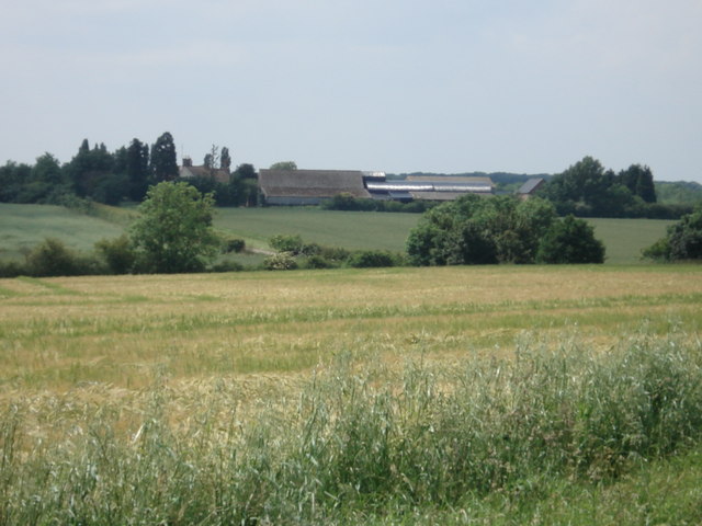
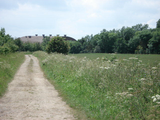
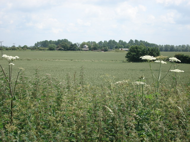
Little Less Wood is a small forest located in the district of Huntingdonshire, Cambridgeshire, England. Spanning an area of approximately 10 acres, it is nestled amidst the picturesque countryside, offering a serene and tranquil escape for nature lovers and outdoor enthusiasts.
The woodland predominantly comprises deciduous trees, including oak, beech, and ash, creating a diverse and vibrant ecosystem. The lush undergrowth is adorned with wildflowers, adding a splash of color to the forest floor during the spring and summer months. The dense canopy provides a habitat for a variety of bird species, such as woodpeckers, thrushes, and warblers, making it a popular spot for birdwatching.
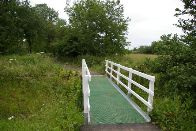
Little Less Wood is crisscrossed by a network of well-maintained footpaths, allowing visitors to explore its enchanting beauty. These paths lead to a small pond, which acts as a watering hole for wildlife, attracting a range of amphibians and insects. The calming sound of water trickling adds to the overall tranquility of the woodland.
The forest is a popular destination for recreational activities such as walking, jogging, and picnicking. Its idyllic setting makes it an ideal spot for families to enjoy a peaceful day out in nature. Additionally, the woodland's secluded atmosphere makes it a favorite among photographers and artists seeking inspiration from its natural beauty.
Little Less Wood is a hidden gem in Huntingdonshire, offering a peaceful retreat from the bustling city life. Its enchanting surroundings, diverse flora and fauna, and well-maintained trails make it a must-visit destination for nature enthusiasts and those seeking solace in the great outdoors.
If you have any feedback on the listing, please let us know in the comments section below.
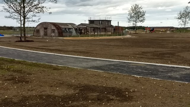
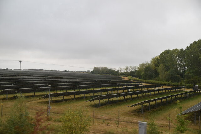
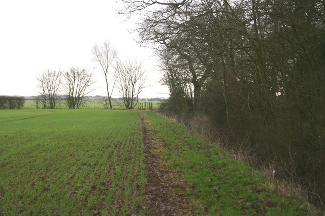
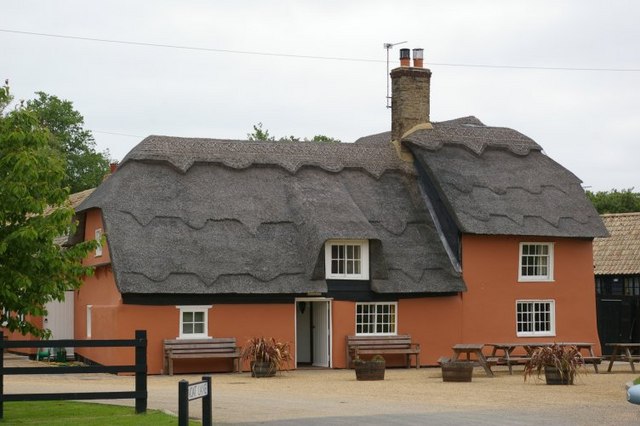
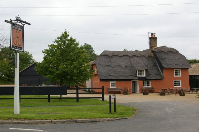
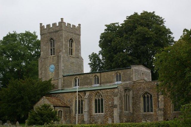
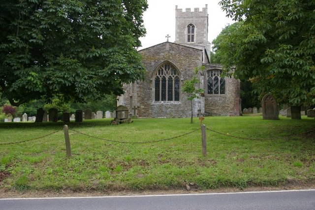
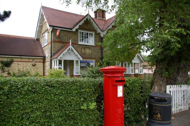
Little Less Wood Images
Images are sourced within 2km of 52.385926/-0.21360744 or Grid Reference TL2177. Thanks to Geograph Open Source API. All images are credited.


Little Less Wood is located at Grid Ref: TL2177 (Lat: 52.385926, Lng: -0.21360744)
Administrative County: Cambridgeshire
District: Huntingdonshire
Police Authority: Cambridgeshire
What 3 Words
///passport.ulterior.creeps. Near Alconbury, Cambridgeshire
Nearby Locations
Related Wikis

Abbots Ripton rail accident
The Abbots Ripton rail disaster occurred on 21 January 1876 at Abbots Ripton, then in the county of Huntingdonshire, England, on the Great Northern Railway...
Abbots Ripton railway station
Abbots Ripton railway station was a railway station on the East Coast Main Line in the English county of Cambridgeshire. Although trains still pass on...

Abbots Ripton
Abbots Ripton is a village and civil parish in Cambridgeshire, England. Abbots Ripton is situated within Huntingdonshire which is a non-metropolitan district...

Little Stukeley
Little Stukeley is a village and former civil parish, now in the parish of The Stukeleys, in Cambridgeshire, England. Little Stukeley lies approximately...

New Shire Hall, Alconbury Weald
New Shire Hall is a municipal building on Emery Crescent, Alconbury Weald, Cambridgeshire, England, built in 2019–2020. It is the headquarters of Cambridgeshire...

Alconbury Weald
Alconbury Weald is a new settlement in Cambridgeshire, England, lying to the north-west of the town of Huntingdon. The site was previously part of RAF...
Alconbury High School
Alconbury High School is a public high school located in Alconbury, England, operated by the Department of Defense Education Activity (DoDEA). It is a...

RAF Alconbury
Royal Air Force Alconbury, or more simply RAF Alconbury, is an active Royal Air Force station near Huntingdon, England. The airfield is in the civil parish...
Nearby Amenities
Located within 500m of 52.385926,-0.21360744Have you been to Little Less Wood?
Leave your review of Little Less Wood below (or comments, questions and feedback).