Long Coppice

Wood, Forest in Huntingdonshire Huntingdonshire

England

Long Coppice

Apartment block, Alconbury Weald
Apartment block, Alconbury Weald Credit: Jonathan Thacker

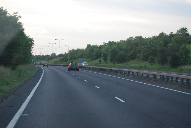
Long Coppice is a picturesque wood located in Huntingdonshire, a county in the East of England. Covering an area of approximately 20 hectares, it is known for its diverse range of flora and fauna, making it an important natural habitat in the region.

The wood is primarily composed of mixed deciduous trees, including oak, beech, and ash, which create a dense and vibrant canopy during the summer months. In addition to these prominent species, Long Coppice also boasts a variety of smaller trees and shrubs, such as hawthorn and hazel, adding to its ecological richness.

The forest floor is adorned with a plethora of wildflowers, including bluebells, primroses, and wood anemones, which create a stunning display of color in the springtime. This vibrant undergrowth serves as a vital food source and shelter for many woodland creatures, including deer, foxes, and a wide range of bird species.

Long Coppice is not only a haven for wildlife but also offers recreational opportunities for visitors. There are well-maintained footpaths and trails that wind through the wood, allowing individuals to explore its beauty while enjoying a peaceful walk or a picnic amidst nature. The tranquil atmosphere and the enchanting natural surroundings make it a popular spot for nature enthusiasts, hikers, and photographers alike.

With its rich biodiversity and serene ambiance, Long Coppice is an invaluable asset to the local environment and a cherished destination for those seeking solace in nature.

If you have any feedback on the listing, please let us know in the comments section below.

Long Coppice Images

Images are sourced within 2km of 52.381302/-0.22360903 or Grid Reference TL2177. Thanks to Geograph Open Source API. All images are credited.

Apartment block, Alconbury Weald
Bridge at Alconbury, A14
A14 exit  to B1043 Contrary to usual practice for motorways and trunk roads, this junction is apparently not numbered.
A14 exit to B1043
Contrary to usual practice for motorways and trunk roads, this junction is apparently not numbered.
B1043 bridge over A14(M) There is only about a mile of A14(M) before it joins the A1(M).
B1043 bridge over A14(M)
There is only about a mile of A14(M) before it joins the A1(M).
A14 The A14 is a major road running 127 miles from Felixstowe to the Catthorpe Interchange, the junction of the M1 and M6 motorways near Rugby. The road connects East Anglia with the West Midlands and The North.
Wikipedia: <span class="nowrap"><a title="http://en.wikipedia.org/wiki/A14_road_(England)" rel="nofollow ugc noopener" href="http://en.wikipedia.org/wiki/A14_road_(England)">Link</a><img style="margin-left:2px;" alt="External link" title="External link - shift click to open in new window" src="https://s1.geograph.org.uk/img/external.png" width="10" height="10"/></span>
A14
The A14 is a major road running 127 miles from Felixstowe to the Catthorpe Interchange, the junction of the M1 and M6 motorways near Rugby. The road connects East Anglia with the West Midlands and The North. Wikipedia: LinkExternal link
B1043 turning, A14 The A14 is a major road running 127 miles from Felixstowe to the Catthorpe Interchange, the junction of the M1 and M6 motorways near Rugby. The road connects East Anglia with the West Midlands and The North.
Wikipedia: <span class="nowrap"><a title="http://en.wikipedia.org/wiki/A14_road_(England)" rel="nofollow ugc noopener" href="http://en.wikipedia.org/wiki/A14_road_(England)">Link</a><img style="margin-left:2px;" alt="External link" title="External link - shift click to open in new window" src="https://s1.geograph.org.uk/img/external.png" width="10" height="10"/></span>
B1043 turning, A14
The A14 is a major road running 127 miles from Felixstowe to the Catthorpe Interchange, the junction of the M1 and M6 motorways near Rugby. The road connects East Anglia with the West Midlands and The North. Wikipedia: LinkExternal link
Bridge at Alconbury, A14(M) The A14 is a major road running 127 miles from Felixstowe to the Catthorpe Interchange, the junction of the M1 and M6 motorways near Rugby. The road connects East Anglia with the West Midlands and The North.
Wikipedia: <span class="nowrap"><a title="http://en.wikipedia.org/wiki/A14_road_(England)" rel="nofollow ugc noopener" href="http://en.wikipedia.org/wiki/A14_road_(England)">Link</a><img style="margin-left:2px;" alt="External link" title="External link - shift click to open in new window" src="https://s1.geograph.org.uk/img/external.png" width="10" height="10"/></span>
Bridge at Alconbury, A14(M)
The A14 is a major road running 127 miles from Felixstowe to the Catthorpe Interchange, the junction of the M1 and M6 motorways near Rugby. The road connects East Anglia with the West Midlands and The North. Wikipedia: LinkExternal link
A14(M) northbound About to merge into the A1(M) near Alconbury Airbase, operated by the U.S. Airforce.
A14(M) northbound
About to merge into the A1(M) near Alconbury Airbase, operated by the U.S. Airforce.
RAF  Alconbury Memorial RAF Alconbury memorial dedication to 19 airmen of the 95th bomb group who lost their lives when a 500lb bomb exploded accidentally.
RAF Alconbury Memorial
RAF Alconbury memorial dedication to 19 airmen of the 95th bomb group who lost their lives when a 500lb bomb exploded accidentally.
Nearing to the A14 junction B1043 nearing the A14 junction
Nearing to the A14 junction
B1043 nearing the A14 junction
Original WWII structure Former control tower on the Alconbury Airfield now known as Alconbury Weald.
Location is approximate as development work has obliterated original reference points.
The structure is likely to be preserved as a link to the former activity in this area.
Original WWII structure
Former control tower on the Alconbury Airfield now known as Alconbury Weald. Location is approximate as development work has obliterated original reference points. The structure is likely to be preserved as a link to the former activity in this area.
Gymnasium and cafe building New building on Alconbury Weald formerly USAF Alconbury. Location is approximate as re-alignment of the roads and general construction work and map data all need to catch up.
<span class="nowrap"><a title="http://www.alconbury-weald.co.uk/" rel="nofollow ugc noopener" href="http://www.alconbury-weald.co.uk/">Link</a><img style="margin-left:2px;" alt="External link" title="External link - shift click to open in new window" src="https://s1.geograph.org.uk/img/external.png" width="10" height="10"/></span>
Gymnasium and cafe building
New building on Alconbury Weald formerly USAF Alconbury. Location is approximate as re-alignment of the roads and general construction work and map data all need to catch up. LinkExternal link
RAF Alconbury Old buildings on part of the redeveloped RAF Alconbury site.
RAF Alconbury
Old buildings on part of the redeveloped RAF Alconbury site.
Old Milestone by the B1090, Ermine Street, Alconbury Huntingdon stone by the B1090 (was A1), in parish of Alconbury (Huntingdonshire District), Ermine Street, beside a roundabout behind McDonald's restaurant, on grass verge.

Broken since surveyed 2004

Inscription once read:-
: (Huntingdon / 4) : : (London / 63) :

Grade II listed.
List Entry Number: 1130243 <span class="nowrap"><a title="https://historicengland.org.uk/listing/the-list/list-entry/1130243" rel="nofollow ugc noopener" href="https://historicengland.org.uk/listing/the-list/list-entry/1130243">Link</a><img style="margin-left:2px;" alt="External link" title="External link - shift click to open in new window" src="https://s1.geograph.org.uk/img/external.png" width="10" height="10"/></span>

Milestone Society National ID: HU_LYA63
Old Milestone by the B1090, Ermine Street, Alconbury
Huntingdon stone by the B1090 (was A1), in parish of Alconbury (Huntingdonshire District), Ermine Street, beside a roundabout behind McDonald's restaurant, on grass verge. Broken since surveyed 2004 Inscription once read:- : (Huntingdon / 4) : : (London / 63) : Grade II listed. List Entry Number: 1130243 LinkExternal link Milestone Society National ID: HU_LYA63
Ermine Street, Alconbury I am fairly certain of the location, but the Google view is ten years old, where there are no street lights or road signs ahead, and the trees are far lower. But there is a left turn only here which was Top Farm and is now Cambridgeshire Sand and Gravel and has a larger entrance for all the lorries, requiring new road markings here which were also absent in 2009. But it definitely is running along the A14 as the fence and lighting on the parallel road are the same as is the shape of the road itself.
Ermine Street, Alconbury
I am fairly certain of the location, but the Google view is ten years old, where there are no street lights or road signs ahead, and the trees are far lower. But there is a left turn only here which was Top Farm and is now Cambridgeshire Sand and Gravel and has a larger entrance for all the lorries, requiring new road markings here which were also absent in 2009. But it definitely is running along the A14 as the fence and lighting on the parallel road are the same as is the shape of the road itself.
The A14(M) north of Little Stukeley Is this the country's shortest M-road? To the south it becomes the A1307 (formerly the A14). The new A14 dual carriageway is not a motorway.
The A14(M) north of Little Stukeley
Is this the country's shortest M-road? To the south it becomes the A1307 (formerly the A14). The new A14 dual carriageway is not a motorway.
11 Church Way, Little Stukeley Seventeenth century cottage <span class="nowrap"><a title="https://historicengland.org.uk/listing/the-list/list-entry/1130166" rel="nofollow ugc noopener" href="https://historicengland.org.uk/listing/the-list/list-entry/1130166">Link</a><img style="margin-left:2px;" alt="External link" title="External link - shift click to open in new window" src="https://s1.geograph.org.uk/img/external.png" width="10" height="10"/></span>
11 Church Way, Little Stukeley
Seventeenth century cottage LinkExternal link
Pond, Alconbury Weald
Show me another place!

Long Coppice is located at Grid Ref: TL2177 (Lat: 52.381302, Lng: -0.22360903)

Administrative County: Cambridgeshire

District: Huntingdonshire

Police Authority: Cambridgeshire

What 3 Words

///larger.cheered.interests. Near Alconbury, Cambridgeshire

Related Wikis

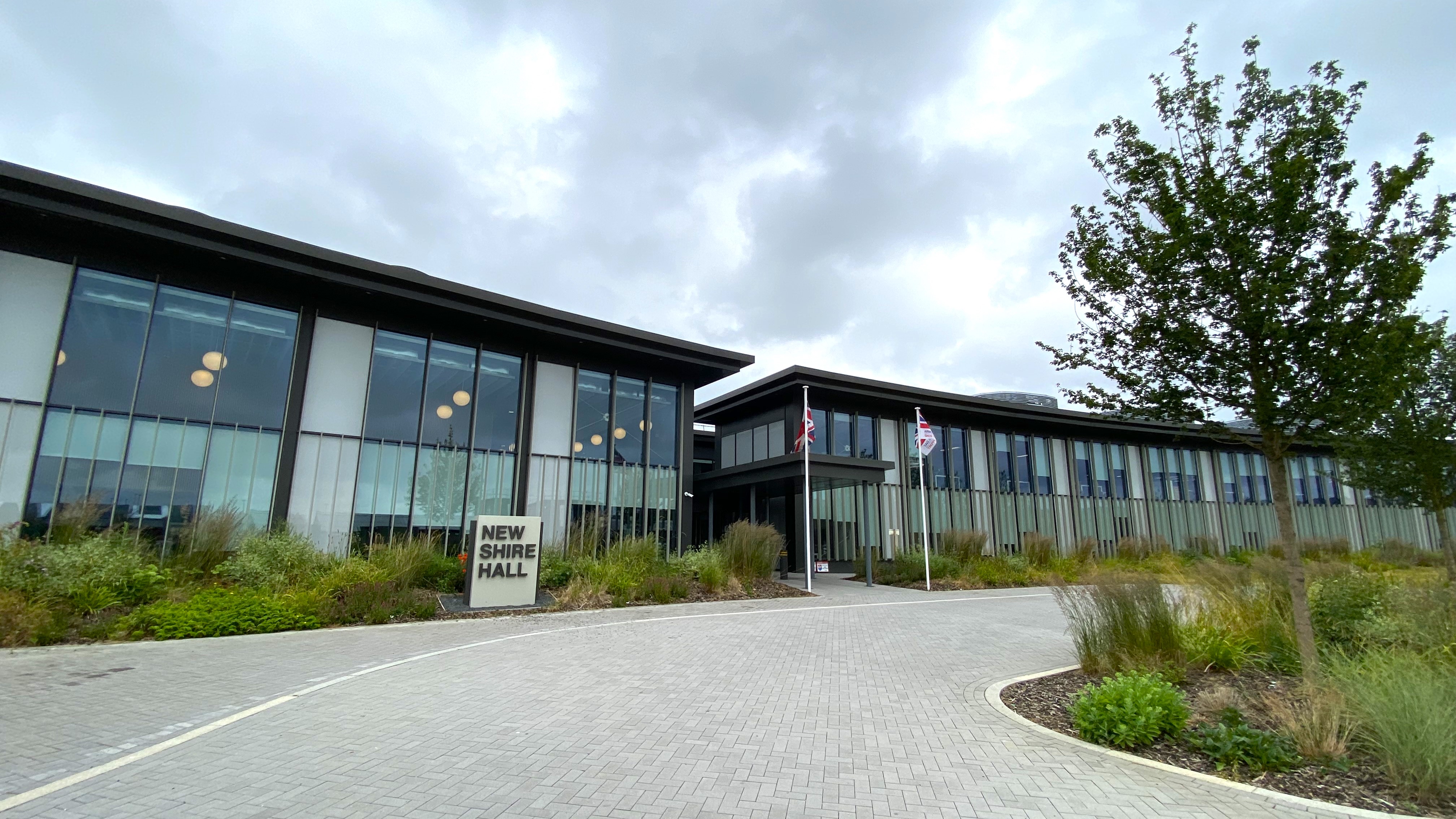
New Shire Hall, Alconbury Weald

New Shire Hall is a municipal building on Emery Crescent, Alconbury Weald, Cambridgeshire, England, built in 2019–2020. It is the headquarters of Cambridgeshire...

Little Stukeley

Little Stukeley is a village and former civil parish, now in the parish of The Stukeleys, in Cambridgeshire, England. Little Stukeley lies approximately...

Abbots Ripton rail accident

The Abbots Ripton rail disaster occurred on 21 January 1876 at Abbots Ripton, then in the county of Huntingdonshire, England, on the Great Northern Railway...
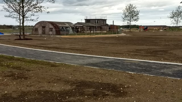
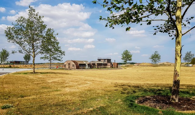
Alconbury Weald

Alconbury Weald is a new settlement in Cambridgeshire, England, lying to the north-west of the town of Huntingdon. The site was previously part of RAF...

Abbots Ripton railway station

Abbots Ripton railway station was a railway station on the East Coast Main Line in the English county of Cambridgeshire. Although trains still pass on...
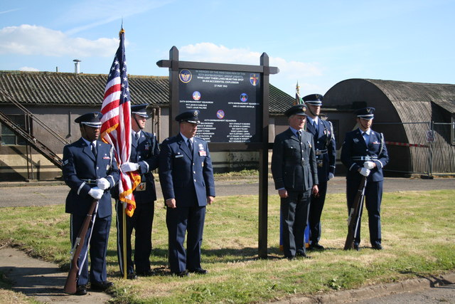
RAF Alconbury

Royal Air Force Alconbury, or more simply RAF Alconbury, is an active Royal Air Force station near Huntingdon, England. The airfield is in the civil parish...

Alconbury High School

Alconbury High School is a public high school located in Alconbury, England, operated by the Department of Defense Education Activity (DoDEA). It is a...

Abbots Ripton

Abbots Ripton is a village and civil parish in Cambridgeshire, England. Abbots Ripton is situated within Huntingdonshire which is a non-metropolitan district...

Nearby Amenities

Located within 500m of 52.381302,-0.22360903
The data included in this document is from www.openstreetmap.org. The data is made available under ODbL.

Have you been to Long Coppice?

Leave your review of Long Coppice below (or comments, questions and feedback).