Wimland Hill

Hill, Mountain in Sussex Horsham

England

Wimland Hill

Level Crossing (Horsham-Crawley line), Wimland Road, Faygate, West Sussex An automatic (un-manned) rural level crossing on this railway line, which connects Horsham to the London Victoria terminus, via Three Bridges.
Level Crossing (Horsham-Crawley line), Wimland Road, Faygate, West Sussex Credit: Pete Chapman

Wimland Hill is a prominent landmark situated in the county of Sussex, England. Known for its picturesque beauty and breathtaking views, it is categorized as a hill rather than a mountain due to its relatively moderate height.

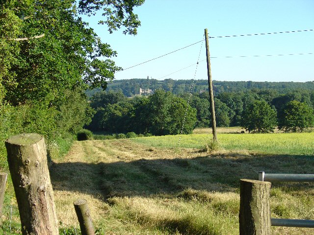
Standing at an elevation of approximately 250 meters above sea level, Wimland Hill is a part of the South Downs, a range of chalk hills stretching across the southern coast of England. It is nestled within the South Downs National Park, a protected area renowned for its diverse wildlife and natural beauty.

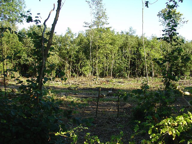
Covered in lush green vegetation and dotted with vibrant wildflowers during the summer months, Wimland Hill offers visitors a tranquil escape from the bustle of daily life. The hill is primarily covered in grassland, interspersed with occasional patches of woodland, creating a patchwork of colors and textures across its slopes.

The summit of Wimland Hill provides breathtaking panoramic views of the surrounding Sussex countryside, including rolling hills, meandering rivers, and quaint villages. On a clear day, it is even possible to catch a glimpse of the English Channel in the distance.

Wimland Hill is a popular destination for outdoor enthusiasts, offering a variety of recreational activities such as hiking, walking, and birdwatching. Its well-maintained trails and footpaths make it accessible to visitors of all ages and fitness levels.

Overall, Wimland Hill in Sussex is a natural gem, offering a serene and scenic escape for those seeking to immerse themselves in the beauty of the English countryside.

If you have any feedback on the listing, please let us know in the comments section below.
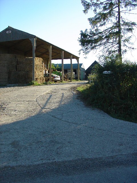
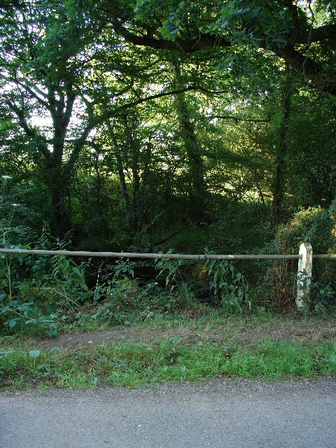
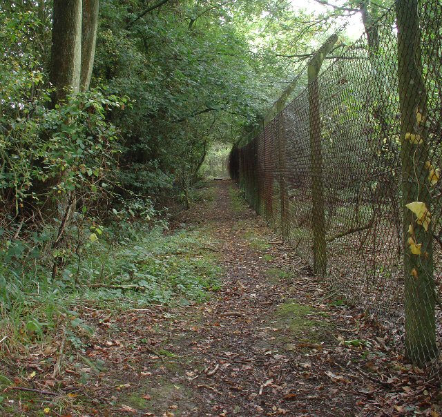
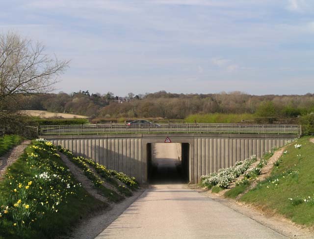
Wimland Hill Images

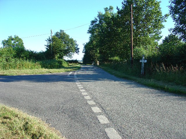
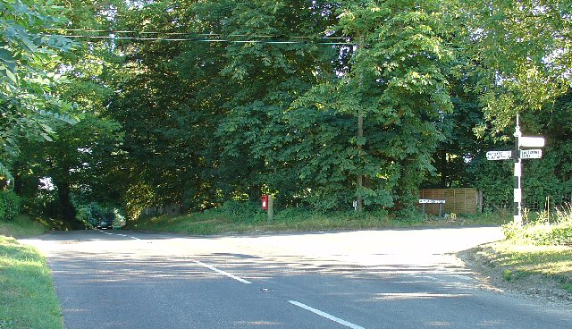
Images are sourced within 2km of 51.100979/-0.27212624 or Grid Reference TQ2134. Thanks to Geograph Open Source API. All images are credited.

Level Crossing (Horsham-Crawley line), Wimland Road, Faygate, West Sussex An automatic (un-manned) rural level crossing on this railway line, which connects Horsham to the London Victoria terminus, via Three Bridges.
Level Crossing (Horsham-Crawley line), Wimland Road, Faygate, West Sussex
An automatic (un-manned) rural level crossing on this railway line, which connects Horsham to the London Victoria terminus, via Three Bridges.
The Cherry Tree Public House, Near Faygate, West Sussex. A wayside inn on the N side of the A264 dual carriageway
The Cherry Tree Public House, Near Faygate, West Sussex.
A wayside inn on the N side of the A264 dual carriageway
Faygate Station, Faygate, West Sussex Not pretty, but functional. The small village of Faygate is surprisingly industrial (easy access to the railway and main A264 road probably the reason) for its location and the station fits in with the theme. On the Line between Horsham and Crawley (London Victoria - Littlehampton/Bognor Regis)
Faygate Station, Faygate, West Sussex
Not pretty, but functional. The small village of Faygate is surprisingly industrial (easy access to the railway and main A264 road probably the reason) for its location and the station fits in with the theme. On the Line between Horsham and Crawley (London Victoria - Littlehampton/Bognor Regis)
Gate house to the Holmbush estate, off A264, between Crawley and Horsham The gatehouse to the original main drive up to the house on the Holmwood estate.
Gate house to the Holmbush estate, off A264, between Crawley and Horsham
The gatehouse to the original main drive up to the house on the Holmwood estate.
Wimland Farm, Near Faygate, West Sussex A standard sized farmstead for the area, and one where farming appears to still be the main activity. Small pond behind the bushes on the left. View taken from the public road immediately to the N.
Wimland Farm, Near Faygate, West Sussex
A standard sized farmstead for the area, and one where farming appears to still be the main activity. Small pond behind the bushes on the left. View taken from the public road immediately to the N.
Phone Mast, Wimland Farm, Near Faygate, West Sussex Phone mast in amongst the farm buildings of the main farmstead.
Phone Mast, Wimland Farm, Near Faygate, West Sussex
Phone mast in amongst the farm buildings of the main farmstead.
Road Junction near Wimland Farm, Faygate, West Sussex All narrow (single track) roads. The sign was a bit dilapidated - the central limb (to Faygate) was missing.
Road Junction near Wimland Farm, Faygate, West Sussex
All narrow (single track) roads. The sign was a bit dilapidated - the central limb (to Faygate) was missing.
Road Junction, Near Carylls Lea, Faygate, West Sussex The metalled bridleway (see square TQ2235) comes out at this junction. Directions go to Faygate, Wimland, and Rusper.
Road Junction, Near Carylls Lea, Faygate, West Sussex
The metalled bridleway (see square TQ2235) comes out at this junction. Directions go to Faygate, Wimland, and Rusper.
Field adjacent to bridleway near Carylls Lea junction, Faygate, West Sussex This corner of the field is in the SW corner of the grid square, but there were several similar open fields on either side of the public right of way (which runs along a metalled farm track at this point). The view looks down across the wide shallow valley that the A264 Crawley-Horsham road runs through. In the distance, the large house of the Holmwood estate can just be made out on the far hillside. To the Left (E) of the field is a small wood. View taken looking SSE from the bridleway.
Field adjacent to bridleway near Carylls Lea junction, Faygate, West Sussex
This corner of the field is in the SW corner of the grid square, but there were several similar open fields on either side of the public right of way (which runs along a metalled farm track at this point). The view looks down across the wide shallow valley that the A264 Crawley-Horsham road runs through. In the distance, the large house of the Holmwood estate can just be made out on the far hillside. To the Left (E) of the field is a small wood. View taken looking SSE from the bridleway.
Woodland S of bridleway between Ifield West (Crawley) and Carylls Lea junction (Faygate), West Sussex. One of many small pieces of woodland that are scattered over this part of rural Sussex. This wood is adjacent to the field in one of the other photos for this square. Mainly young deciduous trees, this area recently cleared.
Woodland S of bridleway between Ifield West (Crawley) and Carylls Lea junction (Faygate), West Sussex.
One of many small pieces of woodland that are scattered over this part of rural Sussex. This wood is adjacent to the field in one of the other photos for this square. Mainly young deciduous trees, this area recently cleared.
Barn at Coombers Farm, Faygate, West Sussex Many of the farms marked on the map in this area have now become solely residential properties, with no indication of any farming activity. Coombers Farm, however, has this sturdy (and used) modern style barn.
Barn at Coombers Farm, Faygate, West Sussex
Many of the farms marked on the map in this area have now become solely residential properties, with no indication of any farming activity. Coombers Farm, however, has this sturdy (and used) modern style barn.
Tributary of River Mole, Near Coombers Farm, Faygate, West Sussex. The River Mole is one of the main rivers in the area. This is a very young tributary. The stream runs through a narrow strip of trees for around 2km at this point. See the River Mole again in grid square TQ2337.
Tributary of River Mole, Near Coombers Farm, Faygate, West Sussex.
The River Mole is one of the main rivers in the area. This is a very young tributary. The stream runs through a narrow strip of trees for around 2km at this point. See the River Mole again in grid square TQ2337.
Bus stop and road approaching Faygate northbound The bus stop hut has now been taken down after the car above managed to "park" itself within!
Bus stop and road approaching Faygate northbound
The bus stop hut has now been taken down after the car above managed to "park" itself within!
Public Footpath to Ifield at Lambs Green, West Sussex This path starts at Lambs Green next to The Lamb public house. The early part of the route (shown here) passes between two fences in a wooded area. View taken looking N (back towards Lambs Green).
Public Footpath to Ifield at Lambs Green, West Sussex
This path starts at Lambs Green next to The Lamb public house. The early part of the route (shown here) passes between two fences in a wooded area. View taken looking N (back towards Lambs Green).
Tunnel under the A264 at Holmbush Farm Built to join the halves of the farm bisected by the building of the dual carriageway, it now affords easy access for visitors to Holmbush Farm World <span class="nowrap"><a title="http://www.holmbushfarm.co.uk/farmworld/index1.php" rel="nofollow ugc noopener" href="http://www.holmbushfarm.co.uk/farmworld/index1.php">Link</a><img style="margin-left:2px;" alt="External link" title="External link - shift click to open in new window" src="https://s1.geograph.org.uk/img/external.png" width="10" height="10"/></span>.
Tunnel under the A264 at Holmbush Farm
Built to join the halves of the farm bisected by the building of the dual carriageway, it now affords easy access for visitors to Holmbush Farm World LinkExternal link.
Piggies! Litter of pigs at Holmbush Farm World <span class="nowrap"><a title="http://www.holmbushfarm.co.uk/farmworld/index1.php" rel="nofollow ugc noopener" href="http://www.holmbushfarm.co.uk/farmworld/index1.php">Link</a><img style="margin-left:2px;" alt="External link" title="External link - shift click to open in new window" src="https://s1.geograph.org.uk/img/external.png" width="10" height="10"/></span>.
Piggies!
Litter of pigs at Holmbush Farm World LinkExternal link.
The Frog and Nightgown An extraordinary pub - it's a window into the past.
The Frog and Nightgown
An extraordinary pub - it's a window into the past.
Tower Road, Colgate Looking north-west towards Faygate through Holmbush Forest.
Tower Road, Colgate
Looking north-west towards Faygate through Holmbush Forest.
Show me another place!

Wimland Hill is located at Grid Ref: TQ2134 (Lat: 51.100979, Lng: -0.27212624)

Administrative County: West Sussex

District: Horsham

Police Authority: Sussex

What 3 Words

///dared.clusters.cascaded. Near Bewbush, West Sussex

Related Wikis

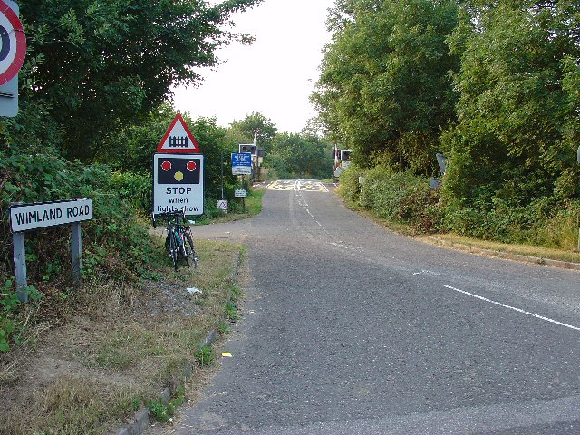
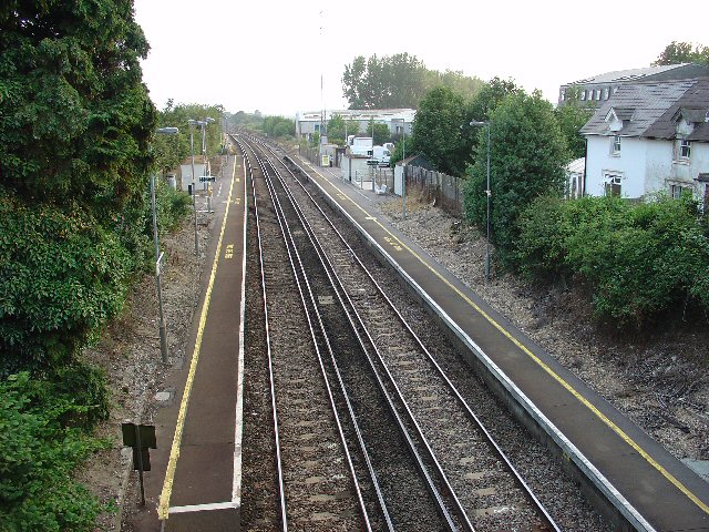
Faygate railway station

Faygate Station is located on the Arun Valley Line, between Littlehaven and Ifield, 34 miles 28 chains (55.3 km) down the line from London Bridge, measured...

Faygate

Faygate is a village in the Horsham district of West Sussex, England. It lies on the A264 road 3.4 miles (5.4 km) south west of Crawley. It has a railway...

House Copse

House Copse is a 12.5-hectare (31-acre) biological Site of Special Scientific Interest west of Crawley in West Sussex. This ancient wood was formerly managed...

Lambs Green

Lambs Green is a hamlet in the civil parish of Rusper and the Horsham District of West Sussex, England. It lies on the Rusper to Ifield road 3.1 miles...

Nearby Amenities

Located within 500m of 51.100979,-0.27212624
Wimland Farm
Place: farm
Lat/Long: 51.1006555/-0.2747014
North Grange Farm
Place: farm
Lat/Long: 51.1028383/-0.2687683
Addr City: Horsham
Addr Housename: 1 Wimland Corner
Addr Street: Wimlands Lane
Lat/Long: 51.1017846/-0.2744
Addr City: Horsham
Addr Housename: 2 Wimlands Corner
Addr Street: Wimlands Lane
Lat/Long: 51.1017858/-0.2745182
The data included in this document is from www.openstreetmap.org. The data is made available under ODbL.

Have you been to Wimland Hill?

Leave your review of Wimland Hill below (or comments, questions and feedback).