Durrants Copse
Wood, Forest in Sussex Horsham
England
Durrants Copse
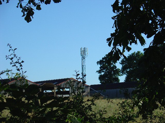
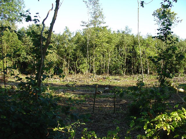
Durrants Copse is a picturesque woodland located in Sussex, England. Situated in the South Downs National Park, this ancient woodland covers an area of approximately 10 hectares. The copse is known for its diverse range of tree species, including oak, beech, ash, and birch, creating a rich and vibrant ecosystem.
The woodland is a haven for wildlife, providing a home to various bird species, such as woodpeckers, tawny owls, and nightingales. The dense undergrowth and leaf litter also attract a variety of small mammals, including foxes, badgers, and squirrels. In the springtime, the woodland floor is carpeted with bluebells, creating a stunning display of color and fragrance.
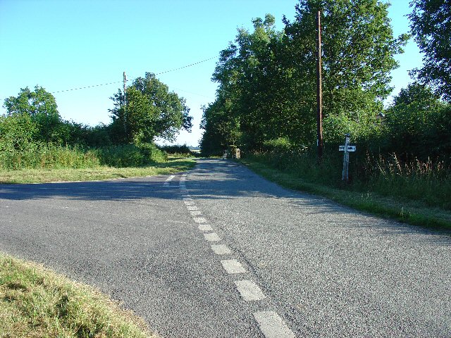
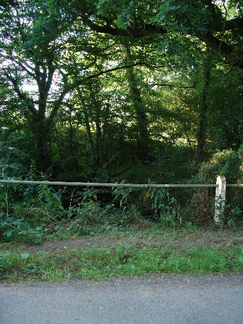
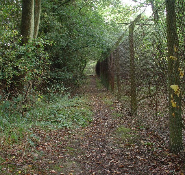
Durrants Copse offers a tranquil and peaceful environment for visitors to enjoy. The woodland is crisscrossed with walking trails, allowing visitors to explore its natural beauty at their own pace. The paths meander through the trees, offering glimpses of sunlight filtering through the leaves and creating a magical atmosphere.
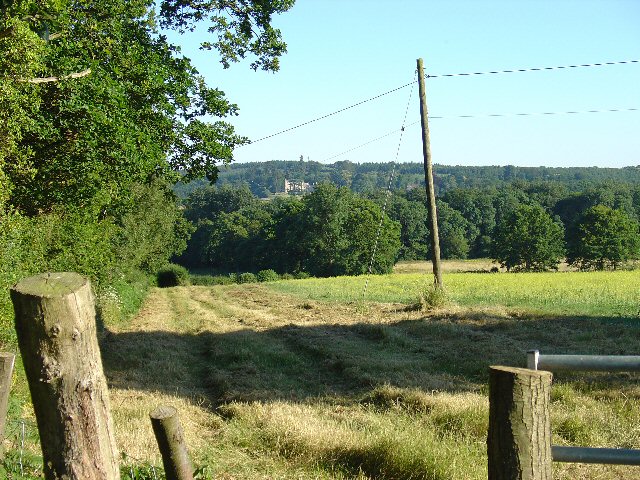
The copse is also a popular location for nature enthusiasts and photographers, who are drawn to its beauty and abundance of wildlife. It provides an excellent opportunity for birdwatching, as well as capturing stunning images of the woodland scenery.
Overall, Durrants Copse is a hidden gem in Sussex, offering a serene escape from the hustle and bustle of everyday life. Its natural beauty, diverse wildlife, and peaceful atmosphere make it a must-visit destination for nature lovers and those seeking a moment of tranquility in the heart of the South Downs.
If you have any feedback on the listing, please let us know in the comments section below.
Durrants Copse Images
Images are sourced within 2km of 51.098085/-0.26437886 or Grid Reference TQ2134. Thanks to Geograph Open Source API. All images are credited.


Durrants Copse is located at Grid Ref: TQ2134 (Lat: 51.098085, Lng: -0.26437886)
Administrative County: West Sussex
District: Horsham
Police Authority: Sussex
What 3 Words
///upholding.vandalism.bothered. Near Bewbush, West Sussex
Nearby Locations
Related Wikis

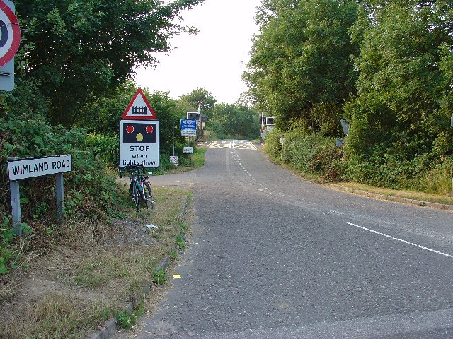
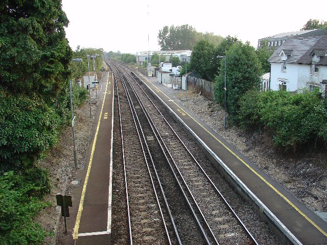
Faygate railway station
Faygate Station is located on the Arun Valley Line, between Littlehaven and Ifield, 34 miles 28 chains (55.3 km) down the line from London Bridge, measured...

Faygate
Faygate is a village in the Horsham district of West Sussex, England. It lies on the A264 road 3.4 miles (5.4 km) south west of Crawley. It has a railway...

House Copse
House Copse is a 12.5-hectare (31-acre) biological Site of Special Scientific Interest west of Crawley in West Sussex.This ancient wood was formerly managed...
Kilnwood Vale
Kilnwood Vale is a village in the Horsham district of West Sussex, England. It borders the High Weald Area of Outstanding Natural Beauty along the A264...

Roffey Road Halt railway station
Roffey Road Halt is a now disused station on the Arun Valley Line in West Sussex, England and was the second station north from Horsham on the stretch...
Lambs Green
Lambs Green is a hamlet in the civil parish of Rusper and the Horsham District of West Sussex, England. It lies on the Rusper to Ifield road 3.1 miles...
Kilnwood Vale railway station
Kilnwood Vale is a proposed railway station in Kilnwood Vale, Horsham, West Sussex which would serve the neighbourhoods of Kilnwood Vale and Bewbush. The...
North Horsham railway station
North Horsham is a proposed railway station in Horsham, West Sussex which would serve the North Horsham Business Park. The proposal was backed by West...
Related Videos

Roffey Park Institute Horsham - Secret Hotel - A True Hidden Gem!
This cost £90 with free breakfast booked via hotels.com.


Tough Mudder London South 2023
What a fitting way to end to 2023 Tough Mudder UK Season. Tough Mudder London South has always been my favourite venue.
Nearby Amenities
Located within 500m of 51.098085,-0.26437886Have you been to Durrants Copse?
Leave your review of Durrants Copse below (or comments, questions and feedback).