Boulton's Hunch Wood

Wood, Forest in Huntingdonshire Huntingdonshire

England

Boulton's Hunch Wood

Farmland towards Monk's Wood
Farmland towards Monk's Wood Credit: JThomas

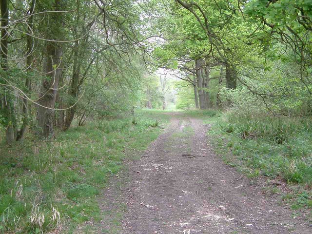
Boulton's Hunch Wood is a picturesque woodland located in Huntingdonshire, England. Covering an area of approximately 100 hectares, the wood is predominantly composed of broadleaf trees such as oak, ash, and beech, creating a diverse and vibrant ecosystem.

The wood is known for its rich biodiversity, providing a habitat for a wide range of wildlife species. It is home to various bird species including woodpeckers, tawny owls, and song thrushes, which fill the air with their melodic songs. Mammals such as deer, foxes, and badgers can also be spotted within the wood's dense undergrowth.

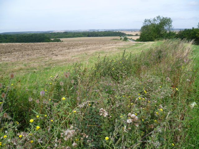
Visitors to Boulton's Hunch Wood can enjoy the tranquility and natural beauty of the surroundings. The wood offers several well-maintained walking trails, allowing visitors to explore the diverse flora and fauna at their own pace. The forest floor is carpeted with a myriad of wildflowers during the spring and summer months, adding bursts of color to the green landscape.

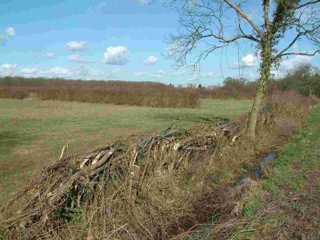
In addition to its natural beauty, Boulton's Hunch Wood holds great historical significance. The wood has been a part of the local landscape for centuries and has witnessed various human activities throughout history. Remnants of old charcoal pits and saw pits can still be found, serving as a reminder of the wood's past industrial use.

Overall, Boulton's Hunch Wood is a haven for nature enthusiasts, offering a peaceful retreat surrounded by breathtaking scenery and abundant wildlife. Its combination of natural beauty and historical value makes it a must-visit destination for both locals and tourists alike.

If you have any feedback on the listing, please let us know in the comments section below.

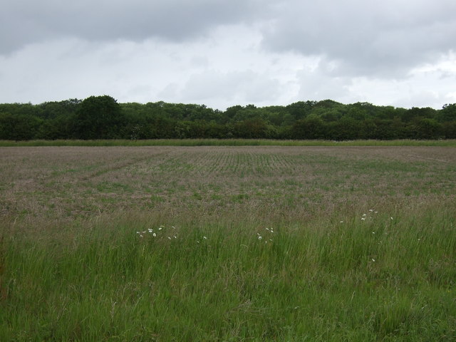
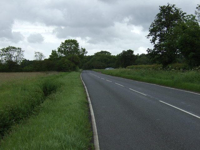
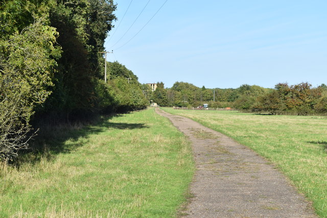
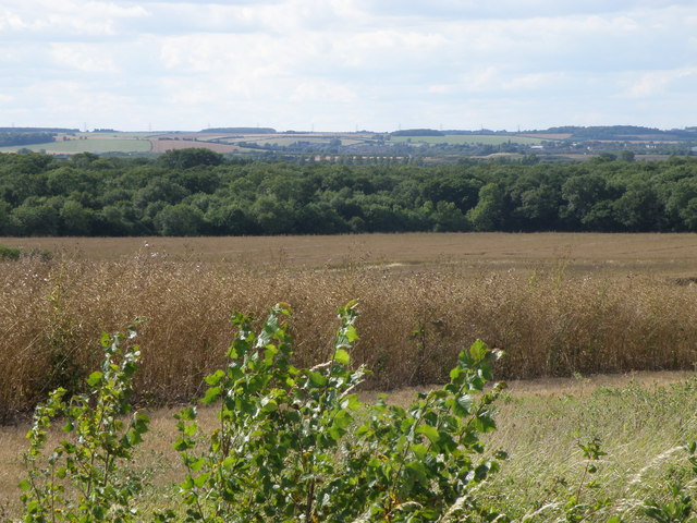
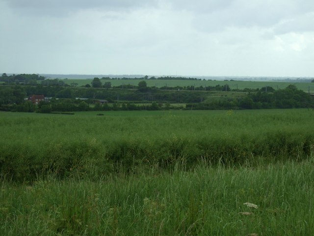
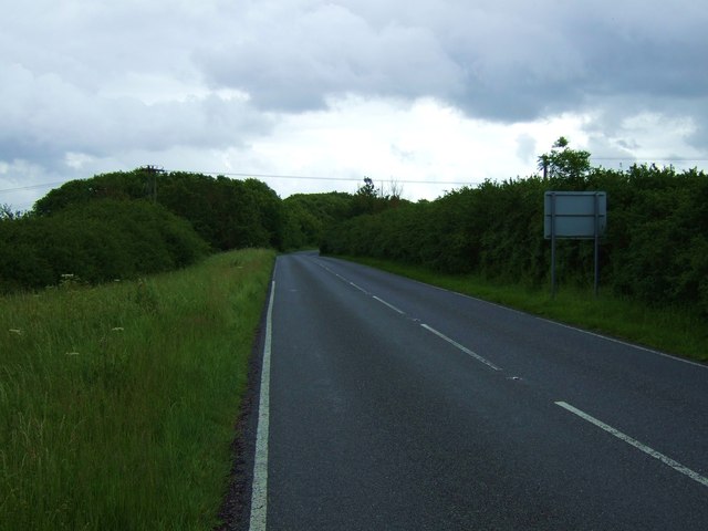
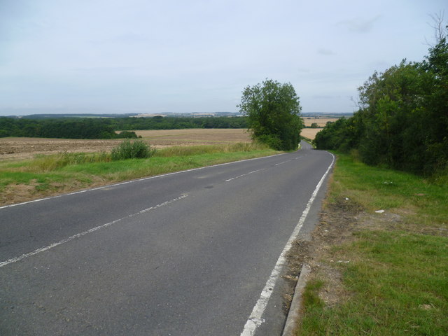
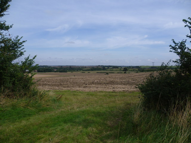
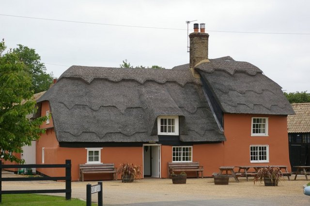
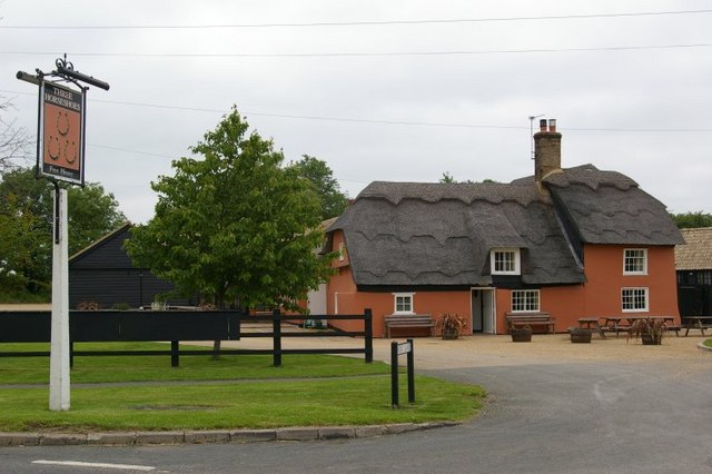
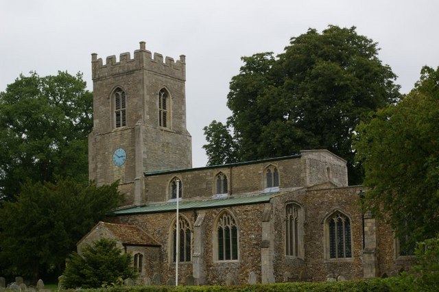
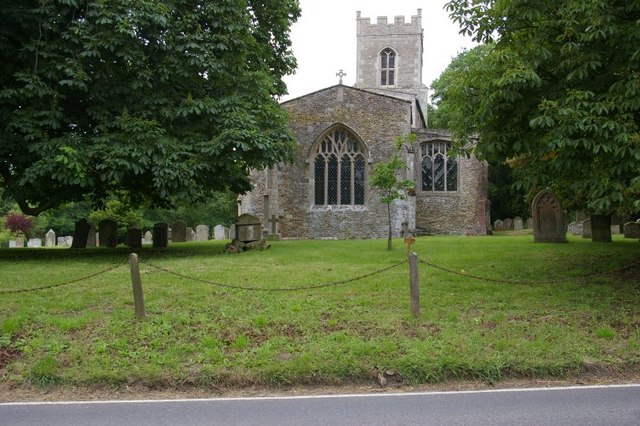
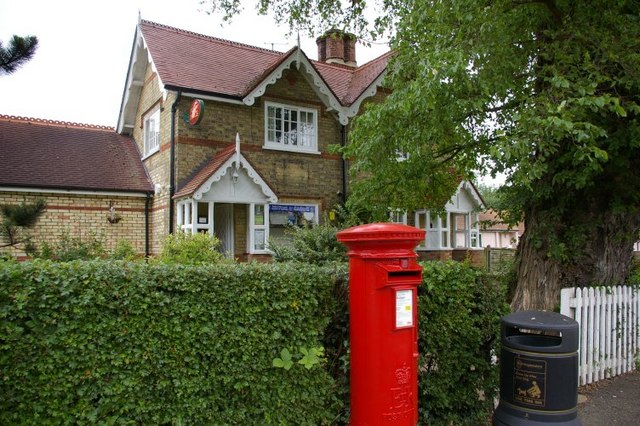
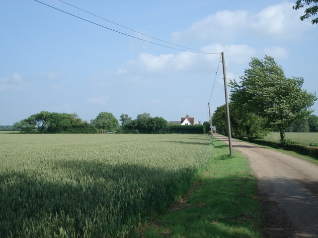
Boulton's Hunch Wood Images

Images are sourced within 2km of 52.390493/-0.21714116 or Grid Reference TL2178. Thanks to Geograph Open Source API. All images are credited.

Farmland towards Monk's Wood
Road towards Monk's Wood
Track along the southern edge of Monks Wood The tower of the former ecological experimental station can just be seen.
Track along the southern edge of Monks Wood
The tower of the former ecological experimental station can just be seen.
Monks wood viewed from Walton hill One of the best places in Huntingdonshire to see a distant view.
Monks wood viewed from Walton hill
One of the best places in Huntingdonshire to see a distant view.
Farmland, Walton Hill
B1090 towards Abbots Ripton
Looking down Walton Hill This is the B1090 from Abbots Ripton as it is about to descend Walton Hill and on to the Fens. The tower of All Saints Church, Conington is a conspicuous landmark when seen from here. Monks Wood National Nature Reserve is at the bottom of the hill - see <span class="nowrap"><a title="http://www.naturalengland.org.uk/ourwork/conservation/designatedareas/nnr/1006103.aspx" rel="nofollow ugc noopener" href="http://www.naturalengland.org.uk/ourwork/conservation/designatedareas/nnr/1006103.aspx">Link</a><img style="margin-left:2px;" alt="External link" title="External link - shift click to open in new window" src="https://s1.geograph.org.uk/img/external.png" width="10" height="10"/></span>
Looking down Walton Hill
This is the B1090 from Abbots Ripton as it is about to descend Walton Hill and on to the Fens. The tower of All Saints Church, Conington is a conspicuous landmark when seen from here. Monks Wood National Nature Reserve is at the bottom of the hill - see LinkExternal link
The view from the top of Walton Hill This is the view from the B1090 as it is about to descend Walton Hill and on to the fens. The towers of All Saints Church, Conington St Andrew's Church, Wood Walton, as well as the East Coast Main Line are conspicuous landmarks when seen from here.
The view from the top of Walton Hill
This is the view from the B1090 as it is about to descend Walton Hill and on to the fens. The towers of All Saints Church, Conington St Andrew's Church, Wood Walton, as well as the East Coast Main Line are conspicuous landmarks when seen from here.
The view from Walton Hill This is the view from next to the B1090 from Abbots Ripton as it is about to descend Walton Hill and on to the fens. The tower of All Saints Church, Conington is a conspicuous landmark when seen from here. Monks Wood National Nature Reserve is at the bottom of the hill - see <span class="nowrap"><a title="http://www.naturalengland.org.uk/ourwork/conservation/designatedareas/nnr/1006103.aspx" rel="nofollow ugc noopener" href="http://www.naturalengland.org.uk/ourwork/conservation/designatedareas/nnr/1006103.aspx">Link</a><img style="margin-left:2px;" alt="External link" title="External link - shift click to open in new window" src="https://s1.geograph.org.uk/img/external.png" width="10" height="10"/></span>
The view from Walton Hill
This is the view from next to the B1090 from Abbots Ripton as it is about to descend Walton Hill and on to the fens. The tower of All Saints Church, Conington is a conspicuous landmark when seen from here. Monks Wood National Nature Reserve is at the bottom of the hill - see LinkExternal link
Abbots Ripton Solar Farm
Ancient hedgerow near Monks Wood Judith's Hedge runs next to the B1090 near Monks Wood and marks the boundary of the Parish of Sawtry Judith, Cambridgeshire (formerly in Huntingdonshire). Judith was the niece of William the Conqueror and owned Monks Wood (then known as Ewingswode) in 1086. The hedge itself is thought to be over 900 years old.
Ancient hedgerow near Monks Wood
Judith's Hedge runs next to the B1090 near Monks Wood and marks the boundary of the Parish of Sawtry Judith, Cambridgeshire (formerly in Huntingdonshire). Judith was the niece of William the Conqueror and owned Monks Wood (then known as Ewingswode) in 1086. The hedge itself is thought to be over 900 years old.
Monks Wood National Nature Reserve Monks Wood is the largest ancient woodland in Cambridgeshire, this is a view looking North along Hotel Ride.
Monks Wood National Nature Reserve
Monks Wood is the largest ancient woodland in Cambridgeshire, this is a view looking North along Hotel Ride.
The Three Horseshoes Public House
The Three Horseshoes Public House and pub sign
St Andrew's church
St Andrew's church
St Andrew's church
St Andrew's church
Rural post office and postbox
Safefield Farm, Alconbury Hill
Show me another place!

Boulton's Hunch Wood is located at Grid Ref: TL2178 (Lat: 52.390493, Lng: -0.21714116)

Administrative County: Cambridgeshire

District: Huntingdonshire

Police Authority: Cambridgeshire

What 3 Words

///weeknight.ombudsman.ranges. Near Alconbury, Cambridgeshire

Related Wikis

Abbots Ripton railway station

Abbots Ripton railway station was a railway station on the East Coast Main Line in the English county of Cambridgeshire. Although trains still pass on...

Abbots Ripton rail accident

The Abbots Ripton rail disaster occurred on 21 January 1876 at Abbots Ripton, then in the county of Huntingdonshire, England, on the Great Northern Railway...

Abbots Ripton

Abbots Ripton is a village and civil parish in Cambridgeshire, England. Abbots Ripton is situated within Huntingdonshire which is a non-metropolitan district...

New Shire Hall, Alconbury Weald

New Shire Hall is a municipal building on Emery Crescent, Alconbury Weald, Cambridgeshire, England, built in 2019–2020. It is the headquarters of Cambridgeshire...

Nearby Amenities

Located within 500m of 52.390493,-0.21714116
Power: pole
Lat/Long: 52.3921425/-0.2127422
Power: pole
Lat/Long: 52.3927892/-0.2149738
Power: pole
Lat/Long: 52.3916236/-0.210913
Power: pole
Lat/Long: 52.3913497/-0.2099891
Power: pole
Lat/Long: 52.3926532/-0.2144855
Power: pole
Lat/Long: 52.3924207/-0.2136728
Power: pole
Lat/Long: 52.3918887/-0.2118383
The data included in this document is from www.openstreetmap.org. The data is made available under ODbL.

Have you been to Boulton's Hunch Wood?

Leave your review of Boulton's Hunch Wood below (or comments, questions and feedback).