The Heath
Downs, Moorland in Huntingdonshire Huntingdonshire
England
The Heath
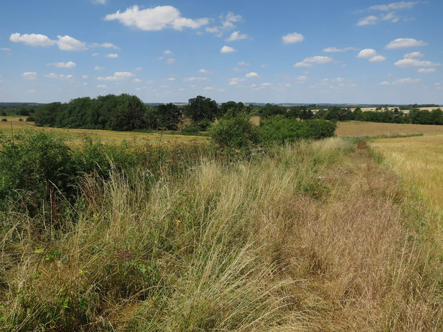
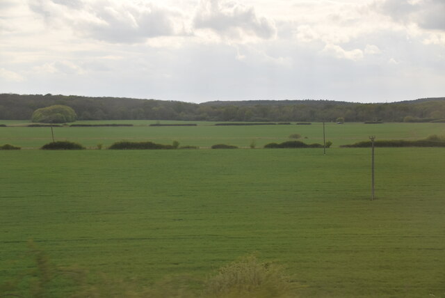
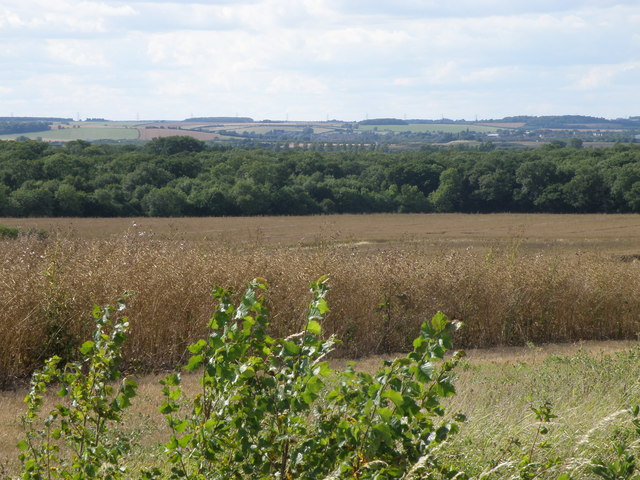
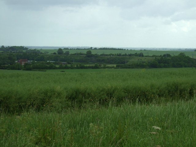
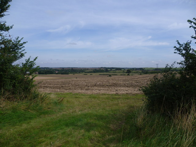
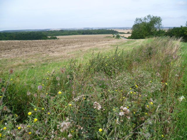
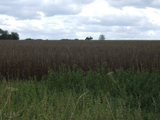
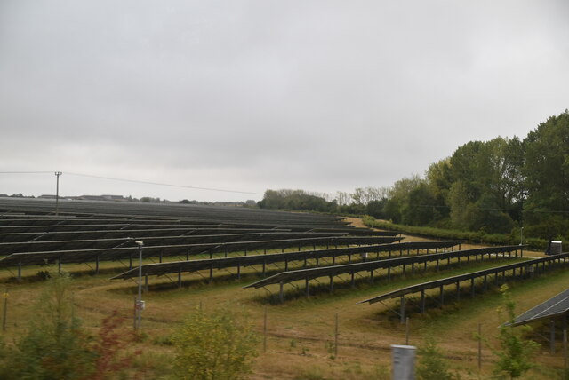
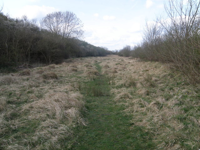
The Heath, located in Huntingdonshire, is a diverse and picturesque area encompassing both downs and moorland landscapes. Stretching over several miles, it offers a range of natural features and habitats, making it a popular destination for nature enthusiasts and outdoor adventurers.
The downs of The Heath are characterized by gently rolling hills covered in a patchwork of grasses and wildflowers. These open spaces provide a haven for a variety of bird species, including skylarks and meadow pipits, which can often be heard singing their melodic tunes. The downs are also home to a number of small mammals, such as rabbits and voles, which can be spotted darting in and out of their burrows.
On the moorland, visitors will encounter a different landscape altogether. Here, heather dominates the terrain, creating a stunning display of purple hues during the summer months. Moorland birds, such as curlews and lapwings, can be seen swooping and calling overhead, while the occasional red grouse may be spotted darting between the heather patches.
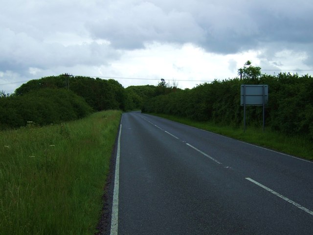
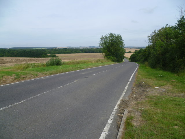
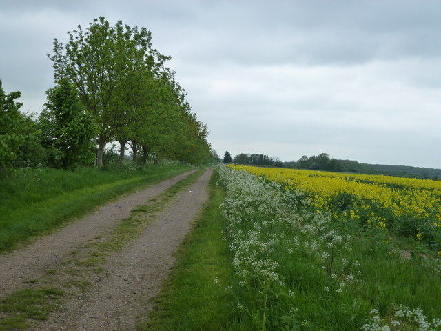
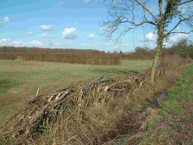
The Heath is crisscrossed by a network of footpaths and trails, allowing visitors to explore its natural wonders at their own pace. Whether it's a leisurely stroll or a more challenging hike, there is something for everyone to enjoy. Additionally, the area is dotted with picnic spots and viewpoints, offering visitors the opportunity to take in the breathtaking vistas and soak up the tranquility of the surroundings.
Overall, The Heath in Huntingdonshire is a captivating destination, where downs and moorland combine to create a diverse and enchanting landscape. With its abundant wildlife, stunning scenery, and ample opportunities for outdoor activities, it is a place that truly captures the beauty of nature.
If you have any feedback on the listing, please let us know in the comments section below.
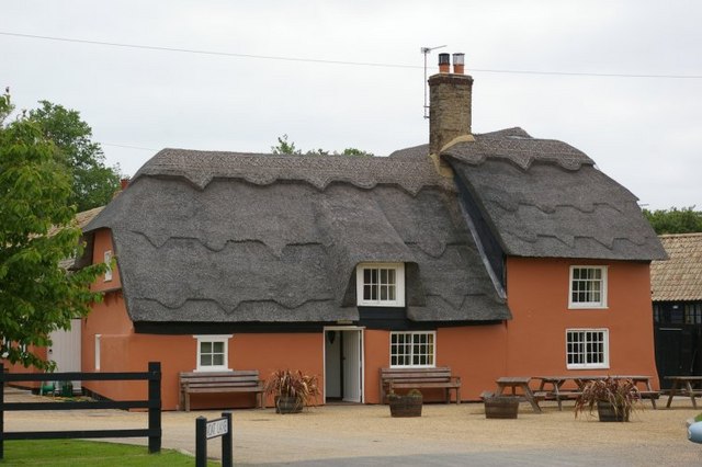
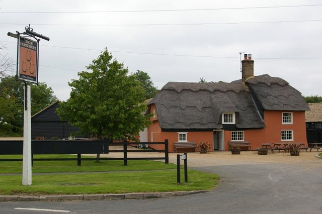
The Heath Images
Images are sourced within 2km of 52.392861/-0.21201937 or Grid Reference TL2178. Thanks to Geograph Open Source API. All images are credited.
The Heath is located at Grid Ref: TL2178 (Lat: 52.392861, Lng: -0.21201937)
Administrative County: Cambridgeshire
District: Huntingdonshire
Police Authority: Cambridgeshire
What 3 Words
///swear.grove.strength. Near Alconbury, Cambridgeshire
Nearby Locations
Related Wikis

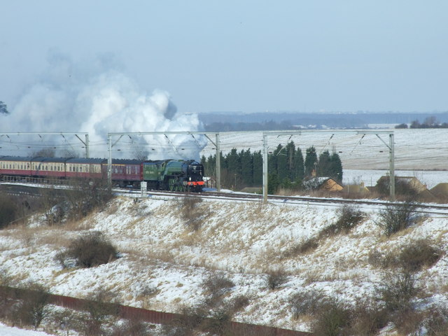
Abbots Ripton railway station
Abbots Ripton railway station was a railway station on the East Coast Main Line in the English county of Cambridgeshire. Although trains still pass on...
Abbots Ripton rail accident
The Abbots Ripton rail disaster occurred on 21 January 1876 at Abbots Ripton, then in the county of Huntingdonshire, England, on the Great Northern Railway...

Abbots Ripton
Abbots Ripton is a village and civil parish in Cambridgeshire, England. Abbots Ripton is situated within Huntingdonshire which is a non-metropolitan district...

Woodwalton
Wood Walton is a village and civil parish in Cambridgeshire, England. Wood Walton lies approximately 6 miles (10 km) north of Huntingdon and just east...
Woodwalton Marsh
Woodwalton Marsh is a 0.8-hectare (2.0-acre) biological Site of Special Scientific Interest north-east of Woodwalton in Cambridgeshire. It is managed by...

Monks Wood
Monks Wood is a 157-hectare (390-acre) National Nature Reserve north-west of Huntingdon in Cambridgeshire, and a Nature Conservation Review site, Grade...

New Shire Hall, Alconbury Weald
New Shire Hall is a municipal building on Emery Crescent, Alconbury Weald, Cambridgeshire, England, built in 2019–2020. It is the headquarters of Cambridgeshire...

Little Stukeley
Little Stukeley is a village and former civil parish, now in the parish of The Stukeleys, in Cambridgeshire, England. Little Stukeley lies approximately...
Nearby Amenities
Located within 500m of 52.392861,-0.21201937Have you been to The Heath?
Leave your review of The Heath below (or comments, questions and feedback).