Round Wood

Wood, Forest in Huntingdonshire Huntingdonshire

England

Round Wood

Farmland, Safefield Farm
Farmland, Safefield Farm Credit: JThomas

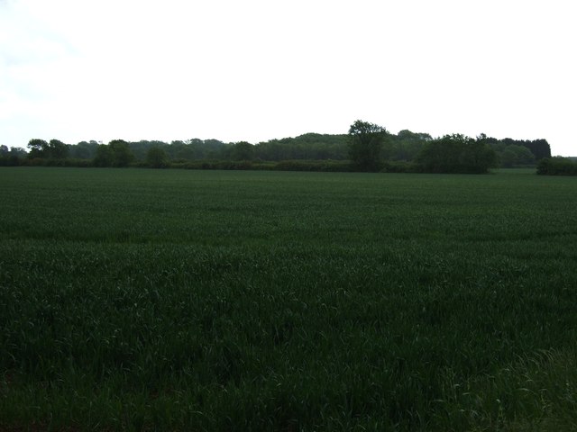
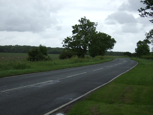
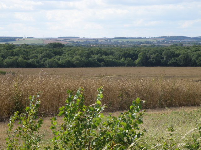
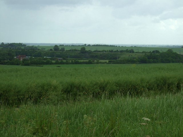
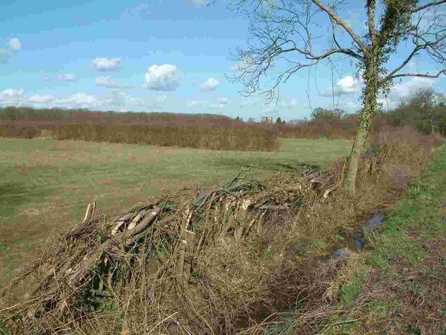
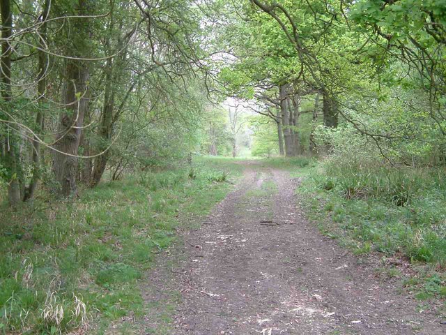
Round Wood is a picturesque forest located in the district of Huntingdonshire, England. Covering an area of approximately 120 hectares, it is a popular destination for nature enthusiasts, hikers, and birdwatchers. The forest is situated near the village of Wood, surrounded by rolling countryside and quaint rural landscapes.

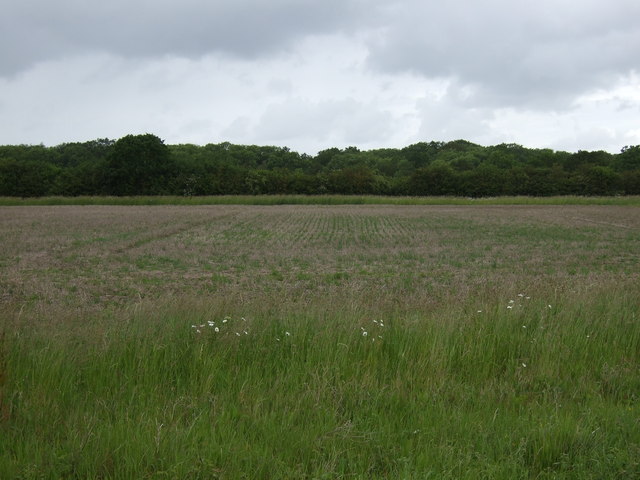
The wood is primarily composed of a mix of deciduous and coniferous trees, including oak, birch, and Scots pine. This diverse range of tree species provides an ideal habitat for various wildlife, making it a haven for biodiversity. Many species of birds, such as woodpeckers, nuthatches, and thrushes, can be spotted within the wood, making it a paradise for birdwatchers.

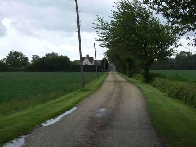
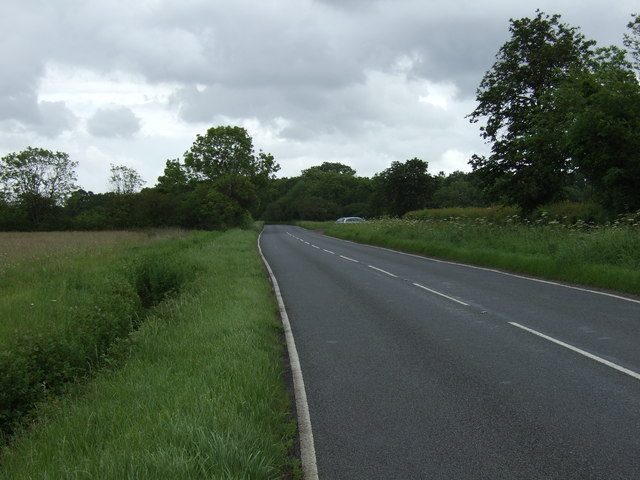
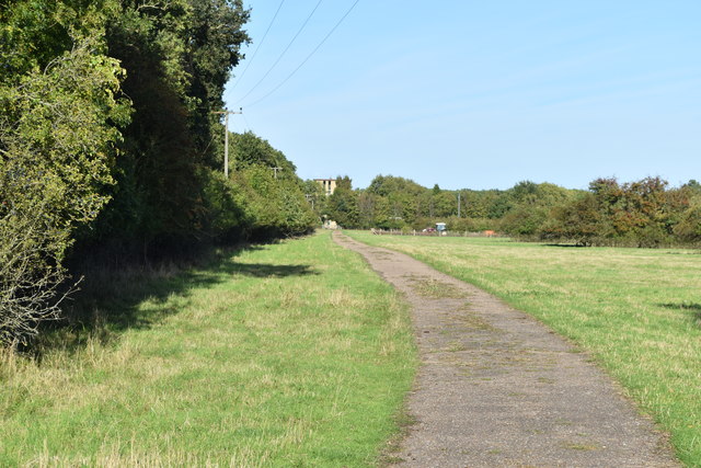
The forest features well-maintained footpaths and trails, allowing visitors to explore its natural beauty at their own pace. The pathways wind through the wood, offering stunning views of the surrounding countryside. Along these routes, visitors can also find several benches and picnic spots, providing opportunities for relaxation and enjoying the peaceful ambiance.

Round Wood is managed by the local forestry commission, ensuring the preservation of its ecological integrity. The wood is open to the public throughout the year, with no entry fee, making it an accessible destination for all. The surrounding area also offers ample parking facilities for those arriving by car.

Overall, Round Wood is a tranquil and scenic forest, offering a serene escape from the hustle and bustle of daily life. With its diverse flora and fauna, well-maintained trails, and stunning views, it is a must-visit destination for nature lovers and outdoor enthusiasts alike.

If you have any feedback on the listing, please let us know in the comments section below.
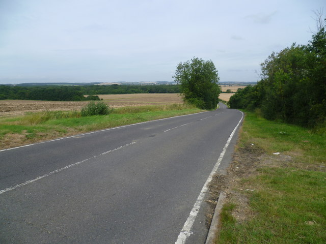
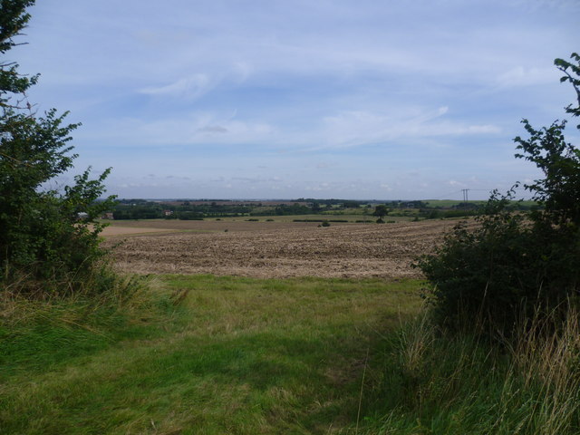
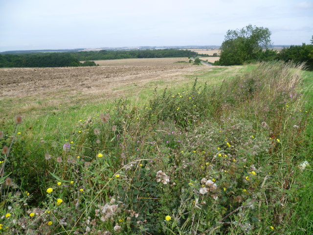
Round Wood Images

Images are sourced within 2km of 52.38966/-0.22218596 or Grid Reference TL2178. Thanks to Geograph Open Source API. All images are credited.

Farmland, Safefield Farm
Track to Safefield Farm
Road towards Monk's Wood
Farmland towards Monk's Wood
Road towards Monk's Wood
RAF  Alconbury Memorial RAF Alconbury memorial dedication to 19 airmen of the 95th bomb group who lost their lives when a 500lb bomb exploded accidentally.
RAF Alconbury Memorial
RAF Alconbury memorial dedication to 19 airmen of the 95th bomb group who lost their lives when a 500lb bomb exploded accidentally.
Original WWII structure Former control tower on the Alconbury Airfield now known as Alconbury Weald.
Location is approximate as development work has obliterated original reference points.
The structure is likely to be preserved as a link to the former activity in this area.
Original WWII structure
Former control tower on the Alconbury Airfield now known as Alconbury Weald. Location is approximate as development work has obliterated original reference points. The structure is likely to be preserved as a link to the former activity in this area.
RAF Alconbury Old buildings on part of the redeveloped RAF Alconbury site.
RAF Alconbury
Old buildings on part of the redeveloped RAF Alconbury site.
Track along the southern edge of Monks Wood The tower of the former ecological experimental station can just be seen.
Track along the southern edge of Monks Wood
The tower of the former ecological experimental station can just be seen.
Monks wood viewed from Walton hill One of the best places in Huntingdonshire to see a distant view.
Monks wood viewed from Walton hill
One of the best places in Huntingdonshire to see a distant view.
Farmland, Walton Hill
B1090 towards Abbots Ripton
Looking down Walton Hill This is the B1090 from Abbots Ripton as it is about to descend Walton Hill and on to the Fens. The tower of All Saints Church, Conington is a conspicuous landmark when seen from here. Monks Wood National Nature Reserve is at the bottom of the hill - see <span class="nowrap"><a title="http://www.naturalengland.org.uk/ourwork/conservation/designatedareas/nnr/1006103.aspx" rel="nofollow ugc noopener" href="http://www.naturalengland.org.uk/ourwork/conservation/designatedareas/nnr/1006103.aspx">Link</a><img style="margin-left:2px;" alt="External link" title="External link - shift click to open in new window" src="https://s1.geograph.org.uk/img/external.png" width="10" height="10"/></span>
Looking down Walton Hill
This is the B1090 from Abbots Ripton as it is about to descend Walton Hill and on to the Fens. The tower of All Saints Church, Conington is a conspicuous landmark when seen from here. Monks Wood National Nature Reserve is at the bottom of the hill - see LinkExternal link
The view from the top of Walton Hill This is the view from the B1090 as it is about to descend Walton Hill and on to the fens. The towers of All Saints Church, Conington St Andrew's Church, Wood Walton, as well as the East Coast Main Line are conspicuous landmarks when seen from here.
The view from the top of Walton Hill
This is the view from the B1090 as it is about to descend Walton Hill and on to the fens. The towers of All Saints Church, Conington St Andrew's Church, Wood Walton, as well as the East Coast Main Line are conspicuous landmarks when seen from here.
The view from Walton Hill This is the view from next to the B1090 from Abbots Ripton as it is about to descend Walton Hill and on to the fens. The tower of All Saints Church, Conington is a conspicuous landmark when seen from here. Monks Wood National Nature Reserve is at the bottom of the hill - see <span class="nowrap"><a title="http://www.naturalengland.org.uk/ourwork/conservation/designatedareas/nnr/1006103.aspx" rel="nofollow ugc noopener" href="http://www.naturalengland.org.uk/ourwork/conservation/designatedareas/nnr/1006103.aspx">Link</a><img style="margin-left:2px;" alt="External link" title="External link - shift click to open in new window" src="https://s1.geograph.org.uk/img/external.png" width="10" height="10"/></span>
The view from Walton Hill
This is the view from next to the B1090 from Abbots Ripton as it is about to descend Walton Hill and on to the fens. The tower of All Saints Church, Conington is a conspicuous landmark when seen from here. Monks Wood National Nature Reserve is at the bottom of the hill - see LinkExternal link
Green Space near Cambridgeshire Council Offices
Ancient hedgerow near Monks Wood Judith's Hedge runs next to the B1090 near Monks Wood and marks the boundary of the Parish of Sawtry Judith, Cambridgeshire (formerly in Huntingdonshire). Judith was the niece of William the Conqueror and owned Monks Wood (then known as Ewingswode) in 1086. The hedge itself is thought to be over 900 years old.
Ancient hedgerow near Monks Wood
Judith's Hedge runs next to the B1090 near Monks Wood and marks the boundary of the Parish of Sawtry Judith, Cambridgeshire (formerly in Huntingdonshire). Judith was the niece of William the Conqueror and owned Monks Wood (then known as Ewingswode) in 1086. The hedge itself is thought to be over 900 years old.
Monks Wood National Nature Reserve Monks Wood is the largest ancient woodland in Cambridgeshire, this is a view looking North along Hotel Ride.
Monks Wood National Nature Reserve
Monks Wood is the largest ancient woodland in Cambridgeshire, this is a view looking North along Hotel Ride.
Show me another place!

Round Wood is located at Grid Ref: TL2178 (Lat: 52.38966, Lng: -0.22218596)

Administrative County: Cambridgeshire

District: Huntingdonshire

Police Authority: Cambridgeshire

What 3 Words

///return.plausible.reflected. Near Alconbury, Cambridgeshire

Related Wikis

Abbots Ripton railway station

Abbots Ripton railway station was a railway station on the East Coast Main Line in the English county of Cambridgeshire. Although trains still pass on...

Abbots Ripton rail accident

The Abbots Ripton rail disaster occurred on 21 January 1876 at Abbots Ripton, then in the county of Huntingdonshire, England, on the Great Northern Railway...

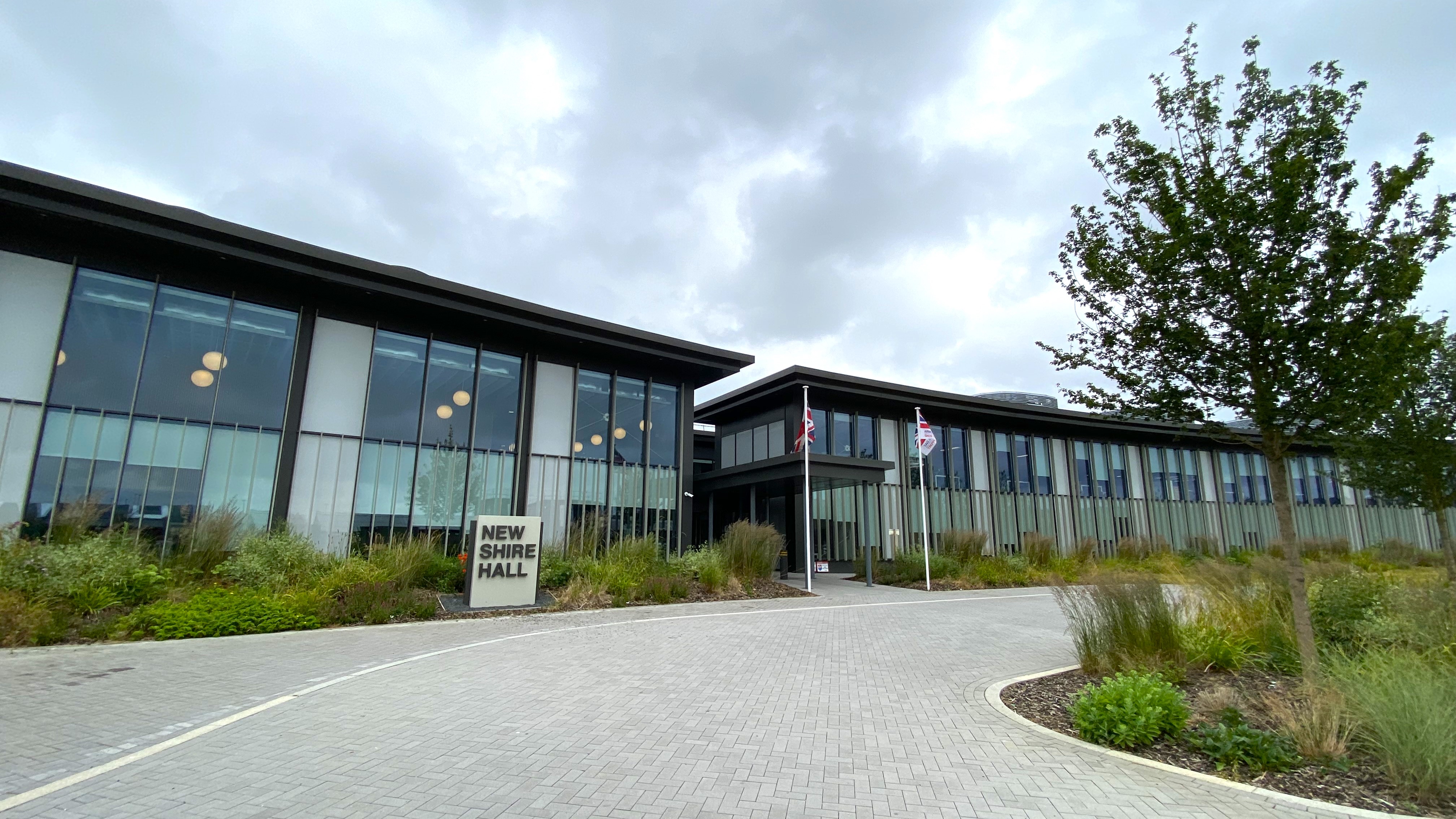
New Shire Hall, Alconbury Weald

New Shire Hall is a municipal building on Emery Crescent, Alconbury Weald, Cambridgeshire, England, built in 2019–2020. It is the headquarters of Cambridgeshire...

Abbots Ripton

Abbots Ripton is a village and civil parish in Cambridgeshire, England. Abbots Ripton is situated within Huntingdonshire which is a non-metropolitan district...

Have you been to Round Wood?

Leave your review of Round Wood below (or comments, questions and feedback).