Broomfield Copse
Wood, Forest in Sussex Horsham
England
Broomfield Copse
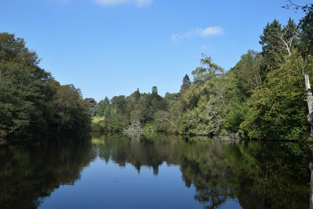
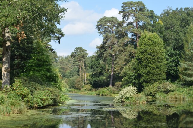
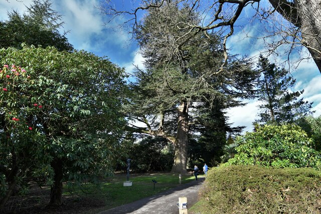
Broomfield Copse is a picturesque woodland located in Sussex, England. Situated in the heart of the South Downs National Park, this enchanting forest covers an area of approximately 100 hectares. The copse is renowned for its diverse range of flora and fauna, making it a haven for nature lovers and wildlife enthusiasts.
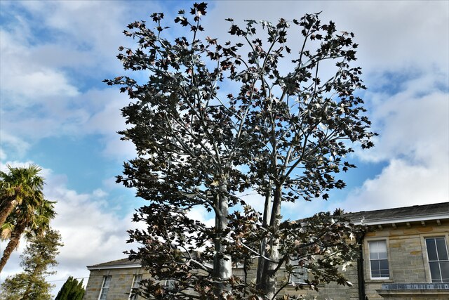
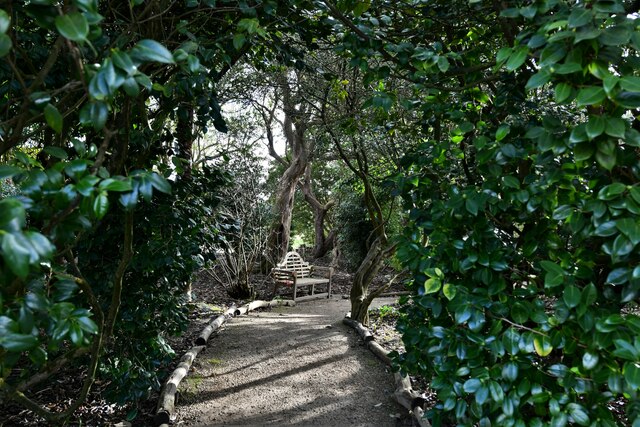
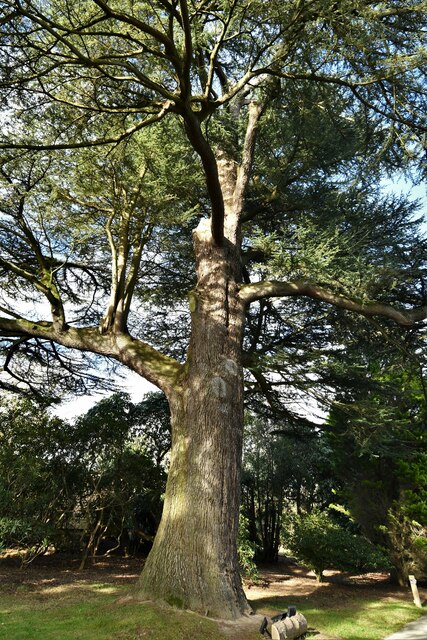
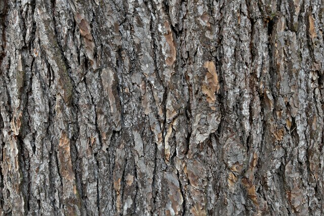
As visitors enter Broomfield Copse, they are greeted by a canopy of towering trees, predominantly consisting of oak, beech, and ash. The dense foliage provides a cool and tranquil atmosphere, perfect for those seeking solace in nature. The forest floor is adorned with a carpet of vibrant wildflowers, creating a beautiful tapestry of colors throughout the seasons.
This woodland is a haven for a wide variety of bird species, including woodpeckers, nightingales, and tawny owls. Additionally, Broomfield Copse is home to a range of mammalian inhabitants, such as badgers, deer, and foxes. The copse also boasts an impressive array of butterflies, moths, and insects, adding to its biodiversity.
Visitors to Broomfield Copse can explore the forest through its well-maintained network of walking trails. These trails cater to all abilities and offer opportunities for leisurely strolls, brisk hikes, and even guided nature walks. Along the way, visitors may come across charming picnic spots, perfect for enjoying a packed lunch amidst the tranquil surroundings.
Overall, Broomfield Copse offers a magical woodland experience, combining stunning natural beauty with abundant wildlife. Whether you seek a peaceful retreat, a chance to reconnect with nature, or an opportunity to observe diverse ecosystems, this Sussex copse is sure to leave a lasting impression.
If you have any feedback on the listing, please let us know in the comments section below.
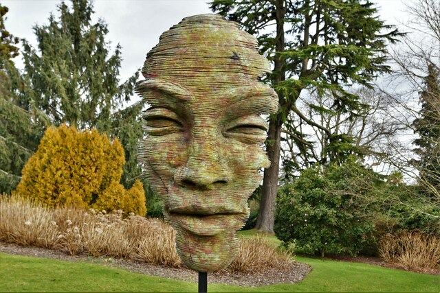
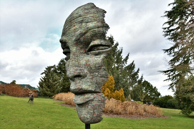
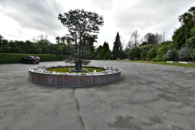
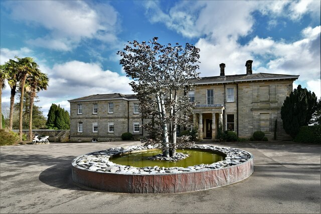
Broomfield Copse Images
Images are sourced within 2km of 51.00822/-0.27058613 or Grid Reference TQ2124. Thanks to Geograph Open Source API. All images are credited.

Broomfield Copse is located at Grid Ref: TQ2124 (Lat: 51.00822, Lng: -0.27058613)
Administrative County: West Sussex
District: Horsham
Police Authority: Sussex
What 3 Words
///prouder.begin.aviation. Near Cowfold, West Sussex
Related Wikis

Crabtree, West Sussex
Crabtree is a hamlet in the parish of Lower Beeding and in Horsham District of West Sussex, England. It lies on the A281 road 4.4 miles (7.1 km) southeast...

Leonardslee
Leonardslee is an English country house and English landscape garden and woodland garden in Lower Beeding, near Horsham, West Sussex, England. The Grade...

Cowfold
Cowfold is a village and civil parish between Billingshurst and Haywards Heath in the Horsham District of West Sussex, England. The village is at the intersection...

Maplehurst, West Sussex
Maplehurst is a hamlet in the civil parish of Nuthurst, and the Horsham District of West Sussex, England. The hamlet is on the Copsale to Nuthurst road...

Nuthurst
Nuthurst is a village and civil parish in the Horsham district of West Sussex, England. The north of the parish borders Horsham town, with Nuthurst village...

Newells Preparatory School
Newells Preparatory School came to Lower Beeding, Sussex, in 1946. It has been at Handcross and known as Handcross Park School since 1968. It merged with...

Lower Beeding
Lower Beeding is a village and civil parish in the Horsham District of West Sussex, England. The village lies on the B2110, B2115 and A281 roads 3.5 miles...
Colwood, West Sussex
Colwood is a village near Warninglid in West Sussex, England. It is the site of Colwood Manor. == References == The geographic coordinates are from the...
Nearby Amenities
Located within 500m of 51.00822,-0.27058613Have you been to Broomfield Copse?
Leave your review of Broomfield Copse below (or comments, questions and feedback).