Cromwell's Close Plantation
Wood, Forest in Huntingdonshire Huntingdonshire
England
Cromwell's Close Plantation
The requested URL returned error: 429 Too Many Requests
If you have any feedback on the listing, please let us know in the comments section below.
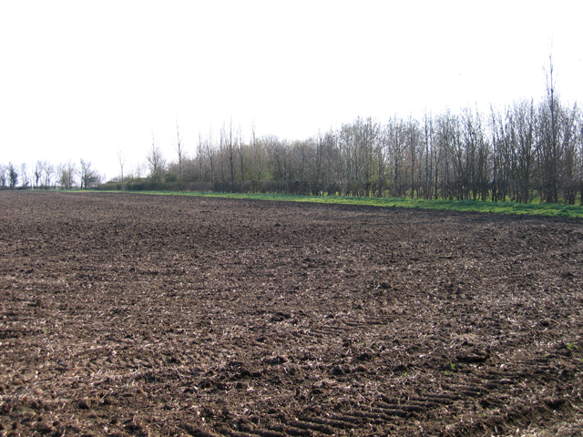
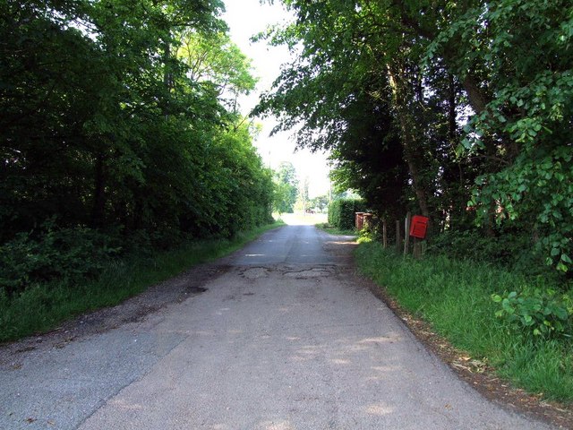
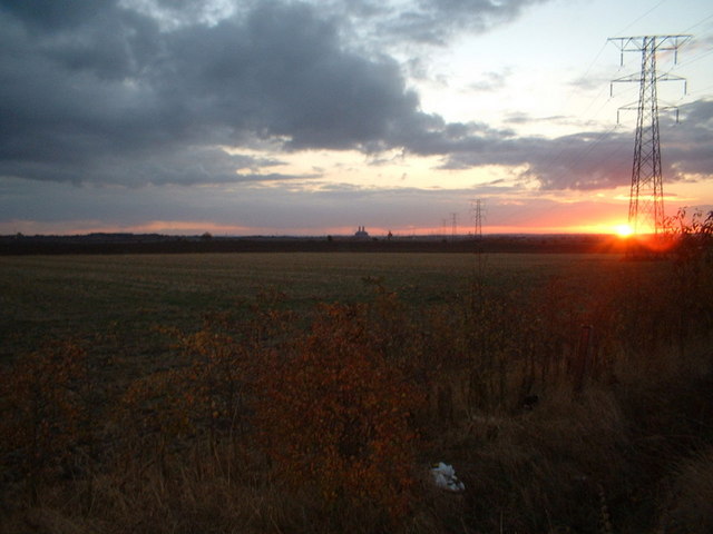
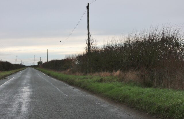
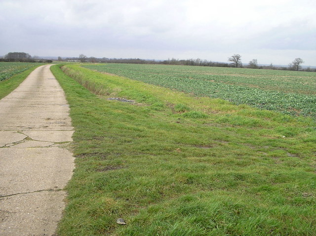
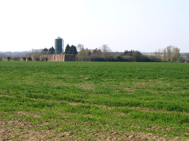
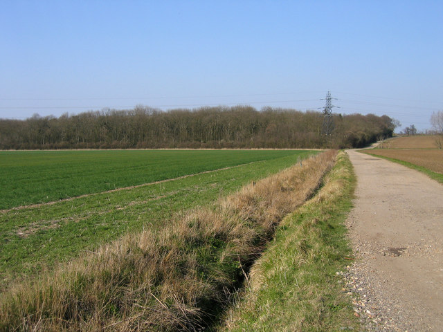
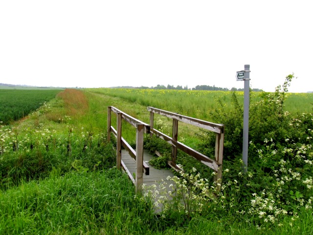
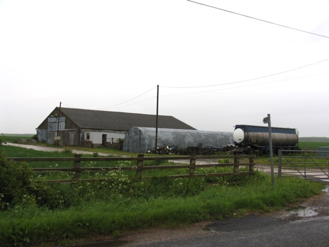
Cromwell's Close Plantation Images
Images are sourced within 2km of 52.23385/-0.22335132 or Grid Reference TL2161. Thanks to Geograph Open Source API. All images are credited.


Cromwell's Close Plantation is located at Grid Ref: TL2161 (Lat: 52.23385, Lng: -0.22335132)
Administrative County: Cambridgeshire
District: Huntingdonshire
Police Authority: Cambridgeshire
What 3 Words
///funny.advantage.dolphins. Near Little Paxton, Cambridgeshire
Nearby Locations
Related Wikis

St Neots Town F.C.
St Neots Town Football Club is an English semi-professional football club based in St Neots, Cambridgeshire. The club are currently members of the United...
Wintringham
Wintringham is a community in the civil parish of St Neots, Cambridgeshire, England. It is located on the eastern side of the town, east of the East Coast...
1895 St. Neots rail accident
The St. Neots Derailment 1895 occurred near to St. Neots railway station on 10 November 1895 when a Great Northern Railway Scottish express from Kings...
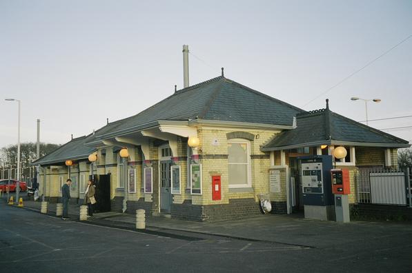
St Neots railway station
St Neots railway station serves the town of St Neots in Cambridgeshire, England. It is located to the east of the town approximately 2 miles (3.2 km) from...
Nearby Amenities
Located within 500m of 52.23385,-0.22335132Have you been to Cromwell's Close Plantation?
Leave your review of Cromwell's Close Plantation below (or comments, questions and feedback).