Broomfield Spinney
Wood, Forest in Sussex Horsham
England
Broomfield Spinney
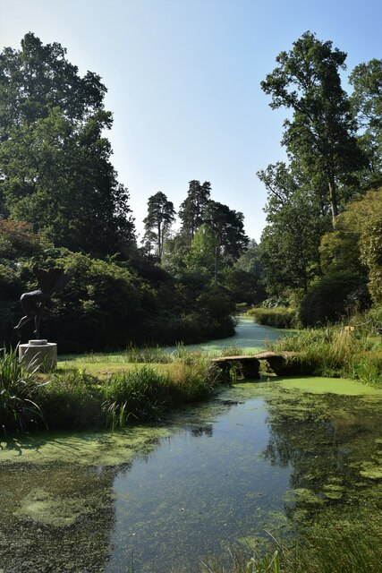
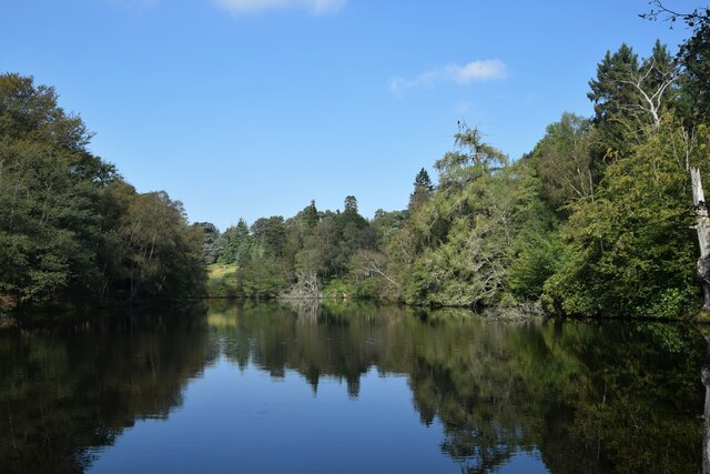
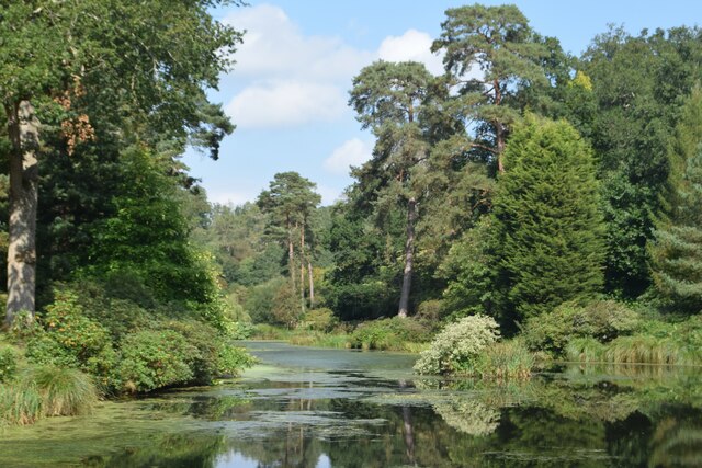
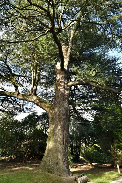
Broomfield Spinney is a picturesque woodland located in Sussex, England. Situated near the village of Broomfield, it covers an area of approximately 100 acres and is known for its natural beauty and diverse ecosystem. The woodland is primarily composed of broadleaf trees, including oak, ash, and beech, which create a dense canopy providing shade and shelter for a variety of wildlife.
The forest floor is covered in a rich carpet of mosses, ferns, and wildflowers, creating a vibrant and colorful undergrowth. Bluebells, primroses, and wood anemones are just a few of the many species that bloom in the spring, transforming the forest into a magical wonderland.
Broomfield Spinney is also home to a wide range of wildlife. The dense vegetation and abundance of food sources make it an ideal habitat for birds, including woodpeckers, owls, and various songbirds. The woodland is teeming with small mammals such as squirrels, foxes, and rabbits, while larger animals like deer and badgers are also known to inhabit the area.
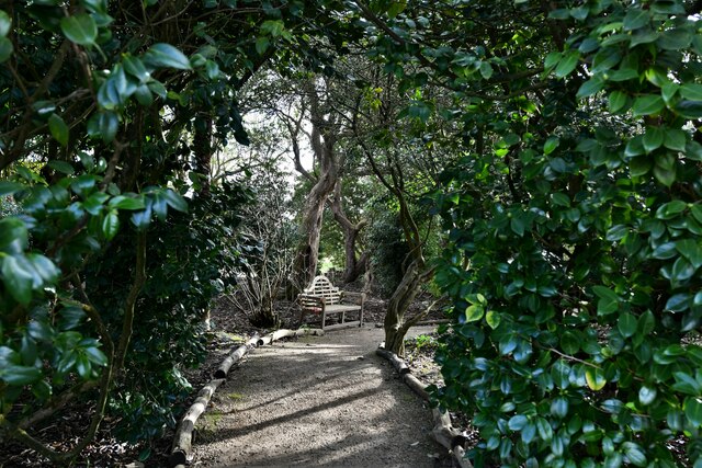
The woodland is a popular destination for nature enthusiasts and hikers, offering a network of well-maintained trails that wind through the trees, providing visitors with the opportunity to explore the forest's hidden corners and enjoy its tranquil atmosphere. Whether it's a leisurely stroll or a more challenging hike, Broomfield Spinney offers something for everyone.
Overall, Broomfield Spinney is a stunning example of a Sussex woodland, showcasing the beauty of nature and providing a haven for wildlife and visitors alike.
If you have any feedback on the listing, please let us know in the comments section below.
Broomfield Spinney Images
Images are sourced within 2km of 51.010192/-0.27198107 or Grid Reference TQ2124. Thanks to Geograph Open Source API. All images are credited.

Broomfield Spinney is located at Grid Ref: TQ2124 (Lat: 51.010192, Lng: -0.27198107)
Administrative County: West Sussex
District: Horsham
Police Authority: Sussex
What 3 Words
///unfit.tubes.exact. Near Cowfold, West Sussex
Nearby Locations
Related Wikis

Crabtree, West Sussex
Crabtree is a hamlet in the parish of Lower Beeding and in Horsham District of West Sussex, England. It lies on the A281 road 4.4 miles (7.1 km) southeast...

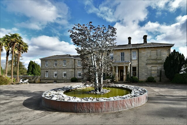
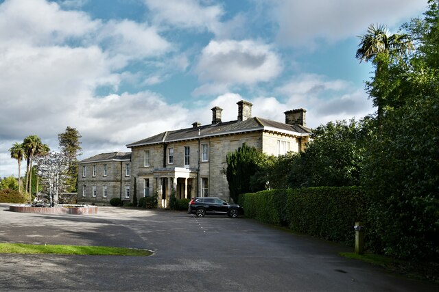
Leonardslee
Leonardslee is an English country house and English landscape garden and woodland garden in Lower Beeding, near Horsham, West Sussex, England. The Grade...

Cowfold
Cowfold is a village and civil parish between Billingshurst and Haywards Heath in the Horsham District of West Sussex, England. The village is at the intersection...

Maplehurst, West Sussex
Maplehurst is a hamlet in the civil parish of Nuthurst, and the Horsham District of West Sussex, England. The hamlet is on the Copsale to Nuthurst road...

Nuthurst
Nuthurst is a village and civil parish in the Horsham district of West Sussex, England. The north of the parish borders Horsham town, with Nuthurst village...

Newells Preparatory School
Newells Preparatory School came to Lower Beeding, Sussex, in 1946. It has been at Handcross and known as Handcross Park School since 1968. It merged with...

Lower Beeding
Lower Beeding is a village and civil parish in the Horsham District of West Sussex, England. The village lies on the B2110, B2115 and A281 roads 3.5 miles...

Southwater & Nuthurst (electoral division)
Southwater & Nuthurst is an electoral division of West Sussex in the United Kingdom and returns one member to sit on West Sussex County Council. The current...
Nearby Amenities
Located within 500m of 51.010192,-0.27198107Have you been to Broomfield Spinney?
Leave your review of Broomfield Spinney below (or comments, questions and feedback).