Hook Copse

Wood, Forest in Surrey Mole Valley

England

Hook Copse

Church at Leigh
Church at Leigh Credit: James Insell

Hook Copse is a picturesque woodland located in Surrey, England. Situated near the village of Hook, the copse covers an area of approximately 50 acres. It is known for its diverse range of flora and fauna, making it a popular spot for nature enthusiasts and hikers.

The copse is primarily composed of deciduous trees, including oak, beech, and birch, which create a dense canopy overhead. This provides a haven for a variety of wildlife, such as deer, foxes, and a wide array of bird species. Visitors can often spot woodpeckers, thrushes, and owls while exploring the woodland.

Trails wind through the copse, offering visitors the opportunity to explore the natural beauty at their own pace. The paths are well-maintained, making it accessible for both casual walkers and more experienced hikers. Along the trails, benches and picnic spots are scattered, providing perfect resting places to enjoy the tranquility of the surroundings.

Hook Copse is also known for its vibrant display of wildflowers, particularly in the spring. Bluebells, primroses, and violets carpet the forest floor, creating a stunning burst of color. The copse is also home to a small stream that meanders through the woodland, adding to its charm and enhancing the overall serene atmosphere.

Due to its close proximity to the village of Hook, amenities such as parking facilities and toilets are available nearby. The copse is well-loved by locals and visitors alike, offering a peaceful retreat from the hustle and bustle of everyday life.

If you have any feedback on the listing, please let us know in the comments section below.
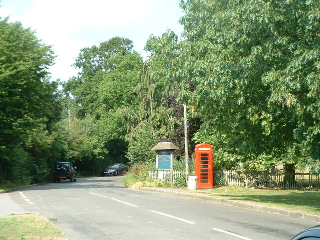
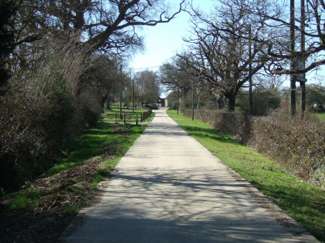
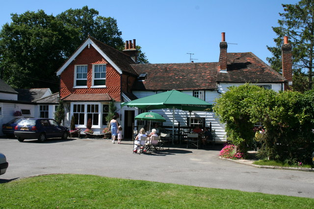
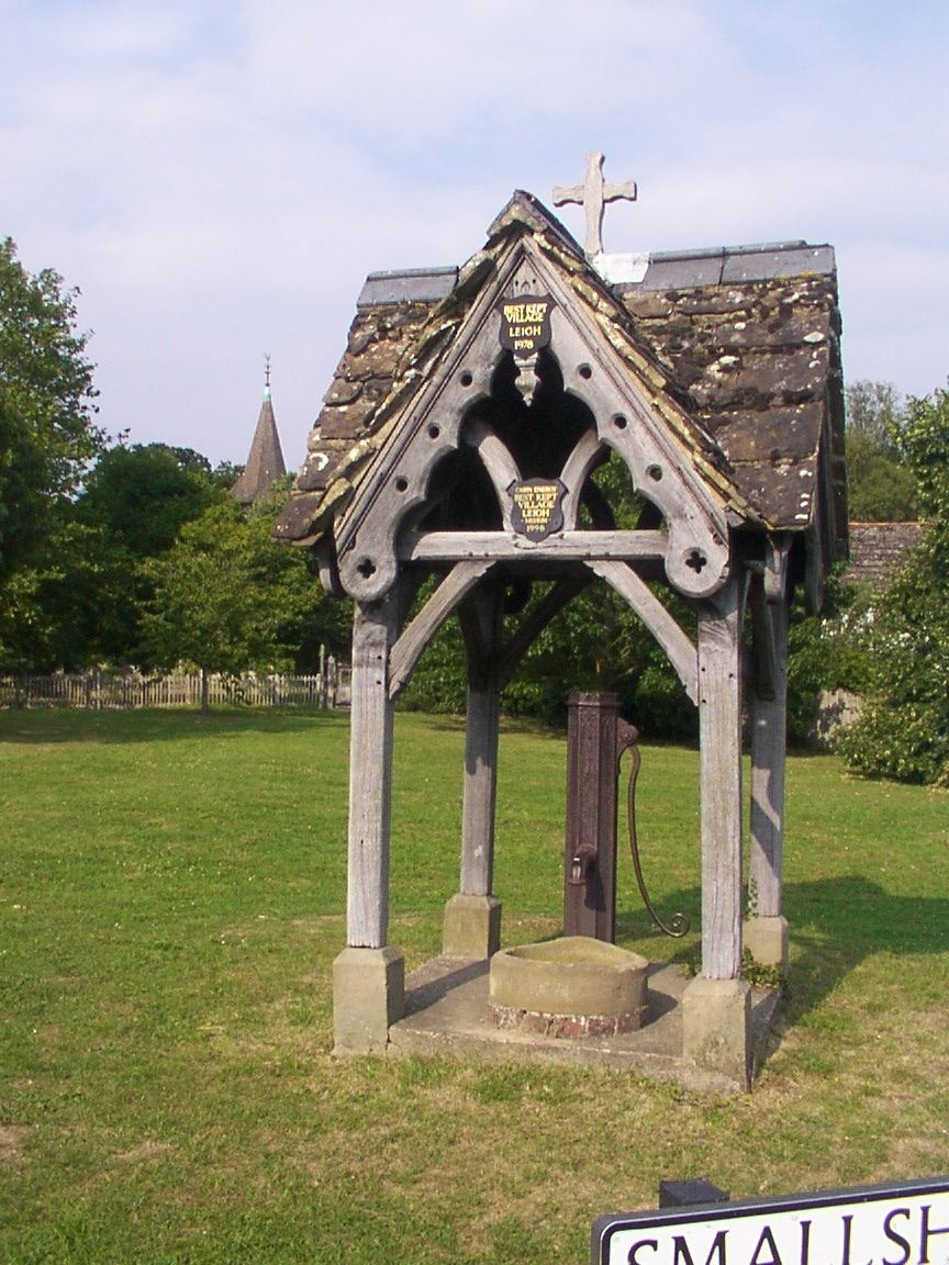
Hook Copse Images

Images are sourced within 2km of 51.206441/-0.26561999 or Grid Reference TQ2146. Thanks to Geograph Open Source API. All images are credited.

Church at Leigh
Church at Leigh
Leigh Cricket Club Pavilion
The Plough pub at Leigh
Telephone box at Leigh
Footpath south of Wellhouse Road looking south-east
Footpath south of Wellhouse Road
looking south-east
Footpath north of Flanchford Road, at Hill View
Junction of Newdigate Road and Bunce Common Road looking north
Junction of Newdigate Road and Bunce Common Road
looking north
Houses at Bunce Common looking north-east
Houses at Bunce Common
looking north-east
Junction of Middle Street with Gadbrook Road (left) Looking south.  The former crossroads here has been changed to a staggered junction; Brockhamhurst Road is to the right.
Junction of Middle Street with Gadbrook Road (left)
Looking south. The former crossroads here has been changed to a staggered junction; Brockhamhurst Road is to the right.
The old village pump, Leigh Another Surrey village with an old pump on the green.
The old village pump, Leigh
Another Surrey village with an old pump on the green.
Leigh Water Pump Looking roughly South down the main road in Leigh.  The water pump here is similar to the one in Brockham village <a href="https://www.geograph.org.uk/gridref/TQ1949">TQ1949</a> to the North West.
Leigh Water Pump
Looking roughly South down the main road in Leigh. The water pump here is similar to the one in Brockham village TQ1949 to the North West.
"V" -shaped Tree "V"-shaped at Mynthurst (looking North).
"V" -shaped Tree
"V"-shaped at Mynthurst (looking North).
Narrow Bridge over the brook Looking North towards Shelwood Cross
Narrow Bridge over the brook
Looking North towards Shelwood Cross
Bridleway at Shellwood Manor
St. Bartholomew's Church, Leigh, Surrey
The 'Plough', Leigh, Surrey Traditional pantile and weatherboard construction, with clay tile roof. The pantiles would almost certainly have been manufactured locally, probably at Brockham.   They used to Have King and Barnes beers here, but this firm went out of business.  The beer here, however, is still very good and the pub can be highly recommended.
The 'Plough', Leigh, Surrey
Traditional pantile and weatherboard construction, with clay tile roof. The pantiles would almost certainly have been manufactured locally, probably at Brockham. They used to Have King and Barnes beers here, but this firm went out of business. The beer here, however, is still very good and the pub can be highly recommended.
Old cottages at Leigh, Surrey In 1979, these buildings could be seen from the green, but since then untrimmed hedge growth has occurred and they cannot now be seen so easily.
Old cottages at Leigh, Surrey
In 1979, these buildings could be seen from the green, but since then untrimmed hedge growth has occurred and they cannot now be seen so easily.
St. Bartholomew's Church, Leigh, Surrey
Show me another place!

Hook Copse is located at Grid Ref: TQ2146 (Lat: 51.206441, Lng: -0.26561999)

Administrative County: Surrey

District: Mole Valley

Police Authority: Surrey

What 3 Words

///glaze.assets.path. Near Holmwood, Surrey

Related Wikis

Leigh, Surrey

Leigh is a village and civil parish in Surrey, between Reigate, Dorking and Charlwood in the east of Mole Valley district. The village centre is suburban...

Moon Hall School

Moon Hall School, since 1952 an independent co-educational preparatory school at Leigh, near Reigate in Surrey, is currently, as of 2021, a special school...

Wotton Hundred

The Hundred of Wotton, Wotton Hundred or Dorking Hundred was a hundred in Surrey, England. The hundred comprised a south-central portion of the county...

Betchworth

Betchworth is a village and civil parish in the Mole Valley district of Surrey, England. The village centre is on the north bank of the River Mole and...

Newdigate

Newdigate is a village and civil parish in the Mole Valley borough of Surrey lying in a relatively flat part of the Weald to the east of the A24 road between...

Brockham

Brockham is a village and civil parish in the Mole Valley district of Surrey, England. It is approximately 1.5 miles (2.4 km) east of Dorking and 4 miles...

Hartsfield Manor

Hartsfield Manor is an early Victorian house of historical significance located in Betchworth, Surrey, England. It was built in the 1860s as a private...

Inholms Clay Pit

Inholms Clay Pit is a 8.4-hectare (21-acre) Local Nature Reserve south of Dorking in Surrey. It is owned by Mole Valley District Council and from 2009...

Nearby Amenities

Located within 500m of 51.206441,-0.26561999
Man Made: survey_point
Source: npe
Lat/Long: 51.2079035/-0.2595471
Bunce Common
Place: locality
Source: npe
Lat/Long: 51.208671/-0.2693462
Bus Stop
Recreation Ground
Bus: yes
Naptan AtcoCode: 40004408020B
Naptan Bearing: W
Naptan CommonName: Recreation Ground
Naptan Indicator: adj
Naptan Landmark: Recreation Ground
Naptan NaptanCode: surawmpw
Naptan Street: Bunce Common Road
Naptan Verified: no
Public Transport: platform
Source: naptan_import
Lat/Long: 51.2097133/-0.2608832
Bus Stop
Recreation Ground
Bus: yes
Naptan AtcoCode: 40004408020C
Naptan Bearing: E
Naptan CommonName: Recreation Ground
Naptan Indicator: Opp
Naptan Landmark: Recreation Ground
Naptan NaptanCode: surawmta
Naptan Street: Bunce Common
Naptan Verified: no
Public Transport: platform
Source: naptan_import
Lat/Long: 51.2098123/-0.260887
Bus Stop
Bunce Common Road
Naptan AtcoCode: 40004408022A
Naptan Bearing: E
Naptan CommonName: Bunce Common Road
Naptan Indicator: E-bound
Naptan Landmark: Bunce Common Road
Naptan NaptanCode: surawmtd
Naptan Street: Bunce Common Road
Naptan Verified: no
Public Transport: platform
Shelter: no
Source: naptan_import
Lat/Long: 51.2083396/-0.2707882
Bus Stop
Bunce Common Road
Naptan AtcoCode: 40004408022B
Naptan Bearing: W
Naptan CommonName: Bunce Common Road
Naptan Indicator: W-bound
Naptan Landmark: Bunce Common Road
Naptan NaptanCode: surawmtm
Naptan Street: Bunce Common Road
Naptan Verified: no
Public Transport: platform
Shelter: no
Source: naptan_import
Lat/Long: 51.2079966/-0.2720318
Post Box
Post Box Mounting: brick_pillar
Post Box Type: wall
Ref: RH2 141
Source: Photo P143-0523
Lat/Long: 51.2086692/-0.2683945
Fire Hydrant
Emergency: fire_hydrant
Fire Hydrant Diameter: 100
Fire Hydrant Position: lane
Fire Hydrant Type: underground
Lat/Long: 51.2087512/-0.2683945
Bunce Common Road
Bus: yes
Public Transport: stop_position
Lat/Long: 51.2080727/-0.2721012
Fixme: path continues NW
Lat/Long: 51.2063621/-0.2592764
Barrier: kissing_gate
Lat/Long: 51.2098514/-0.2624194
Recreation Ground
Bus: yes
Public Transport: stop_position
Lat/Long: 51.2097755/-0.2608846
Bunce Common Road
Bus: yes
Public Transport: stop_position
Lat/Long: 51.2083085/-0.2707742
Charman's Farm
Place: farm
Lat/Long: 51.208074/-0.2623268
Oakleigh Garden Farm
Place: farm
Lat/Long: 51.2050716/-0.2612986
Oakleigh Grange
Place: isolated_dwelling
Lat/Long: 51.2074956/-0.2723136
Barrier: kissing_gate
Lat/Long: 51.2097031/-0.2622812
The data included in this document is from www.openstreetmap.org. The data is made available under ODbL.

Have you been to Hook Copse?

Leave your review of Hook Copse below (or comments, questions and feedback).