Brown's Copse
Wood, Forest in Surrey Mole Valley
England
Brown's Copse

Brown's Copse is a charming woodland located in Surrey, England. Situated near the village of Shere, it covers an area of approximately 20 acres and is a popular destination for nature lovers and outdoor enthusiasts.
The copse is predominantly composed of deciduous trees, such as oak, beech, and birch, which provide a rich canopy and create a serene and picturesque environment. The forest floor is covered with a lush carpet of ferns, bluebells, and wildflowers, adding to the beauty of the woodland. Brown's Copse is also home to a variety of wildlife, including deer, foxes, badgers, and a plethora of bird species.
The copse offers several walking trails, allowing visitors to explore the woodland at their own pace. The pathways wind through the trees, providing glimpses of sunlight filtering through the leaves and creating a magical atmosphere. The tranquil atmosphere makes Brown's Copse an ideal place for relaxation, picnics, or simply immersing oneself in nature.
The copse has a rich history, with records indicating that it has been in existence since at least the 16th century. It was once part of a larger estate but has since become a public woodland, managed by the local authorities. The wood has been carefully preserved and maintained to ensure its natural beauty is retained for generations to come.
Overall, Brown's Copse in Surrey is a haven for nature enthusiasts, offering a peaceful retreat from the hectic pace of modern life. Its enchanting woodland, diverse wildlife, and rich history make it a must-visit destination for anyone seeking a connection with nature.
If you have any feedback on the listing, please let us know in the comments section below.
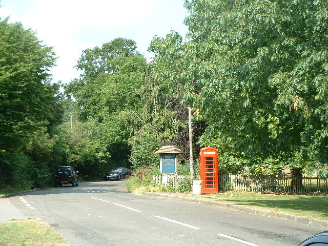
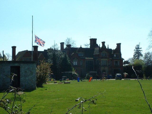
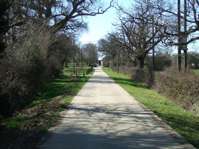
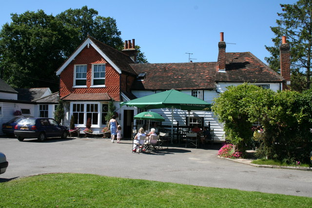
Brown's Copse Images
Images are sourced within 2km of 51.204719/-0.25805464 or Grid Reference TQ2146. Thanks to Geograph Open Source API. All images are credited.


Brown's Copse is located at Grid Ref: TQ2146 (Lat: 51.204719, Lng: -0.25805464)
Administrative County: Surrey
District: Mole Valley
Police Authority: Surrey
What 3 Words
///nuns.places.oddly. Near Reigate, Surrey
Nearby Locations
Related Wikis
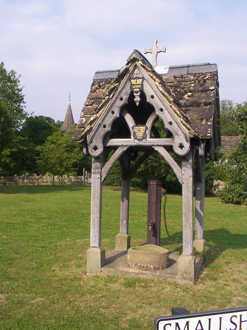
Leigh, Surrey
Leigh is a village and civil parish in Surrey, between Reigate, Dorking and Charlwood in the east of Mole Valley district. The village centre is suburban...

Moon Hall School
Moon Hall School, since 1952 an independent co-educational preparatory school at Leigh, near Reigate in Surrey, is currently, as of 2021, a special school...
Wotton Hundred
The Hundred of Wotton, Wotton Hundred or Dorking Hundred was a hundred in Surrey, England. The hundred comprised a south-central portion of the county...

Betchworth
Betchworth is a village and civil parish in the Mole Valley district of Surrey, England. The village centre is on the north bank of the River Mole and...

Newdigate
Newdigate is a village and civil parish in the Mole Valley borough of Surrey lying in a relatively flat part of the Weald to the east of the A24 road between...
South Park F.C.
South Park Reigate Football Club are an English football club based in Reigate, Surrey. The club is affiliated to the Surrey County Football Association...
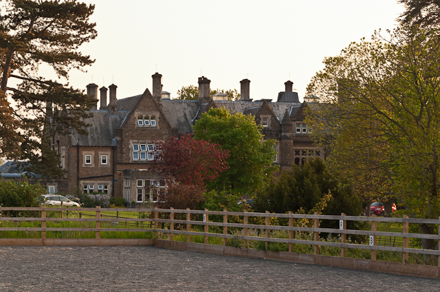
Hartsfield Manor
Hartsfield Manor is an early Victorian house of historical significance located in Betchworth, Surrey, England. It was built in the 1860s as a private...

Brockham
Brockham is a village and civil parish in the Mole Valley district of Surrey, England. It is approximately 1.5 miles (2.4 km) east of Dorking and 4 miles...
Nearby Amenities
Located within 500m of 51.204719,-0.25805464Have you been to Brown's Copse?
Leave your review of Brown's Copse below (or comments, questions and feedback).