Bunce Common
Settlement in Surrey Mole Valley
England
Bunce Common

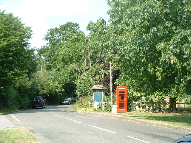
Bunce Common is a picturesque area located in the county of Surrey, England. Situated near the village of Leigh, it covers an area of approximately 100 acres and is known for its natural beauty and peaceful ambiance. The common is made up of a mix of heathland, woodland, and grassland, creating a diverse ecosystem that supports a variety of plant and animal species.
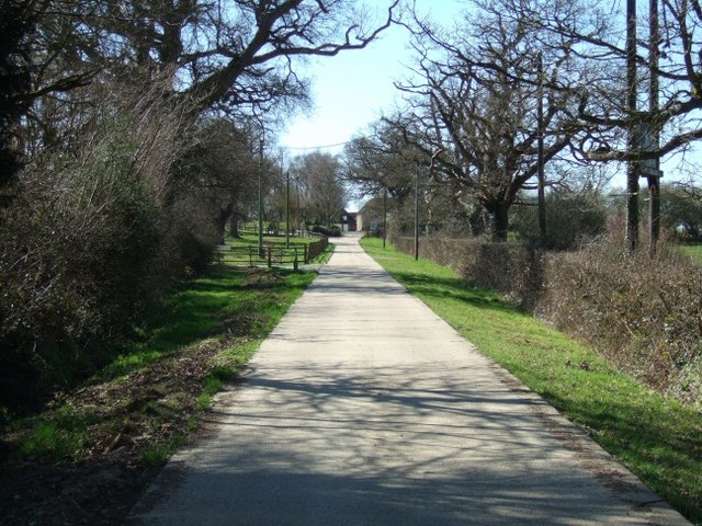
The common is a popular destination for nature enthusiasts and walkers, offering numerous trails and pathways that wind through its enchanting landscape. Visitors can enjoy breathtaking views of the surrounding countryside, as well as take in the sights and sounds of the wildlife that inhabit the area, including birds, butterflies, and small mammals.
One of the notable features of Bunce Common is the presence of several ancient burial mounds, known as barrows, dating back to the Bronze Age. These archaeological remains add a sense of historical significance to the area, attracting those with an interest in the region's past.
In addition to its natural and historical attractions, Bunce Common also provides recreational facilities such as picnic areas and a children's playground, making it an ideal destination for families. The common is well-maintained by the local authorities, ensuring that it remains a serene and enjoyable place for both locals and visitors alike.
Overall, Bunce Common offers a tranquil and idyllic escape from the hustle and bustle of everyday life. Its natural beauty, rich history, and recreational opportunities make it a cherished location within the Surrey countryside.
If you have any feedback on the listing, please let us know in the comments section below.
Bunce Common Images
Images are sourced within 2km of 51.208868/-0.267745 or Grid Reference TQ2146. Thanks to Geograph Open Source API. All images are credited.


Bunce Common is located at Grid Ref: TQ2146 (Lat: 51.208868, Lng: -0.267745)
Administrative County: Surrey
District: Mole Valley
Police Authority: Surrey
What 3 Words
///steep.skills.fetch. Near Holmwood, Surrey
Nearby Locations
Related Wikis
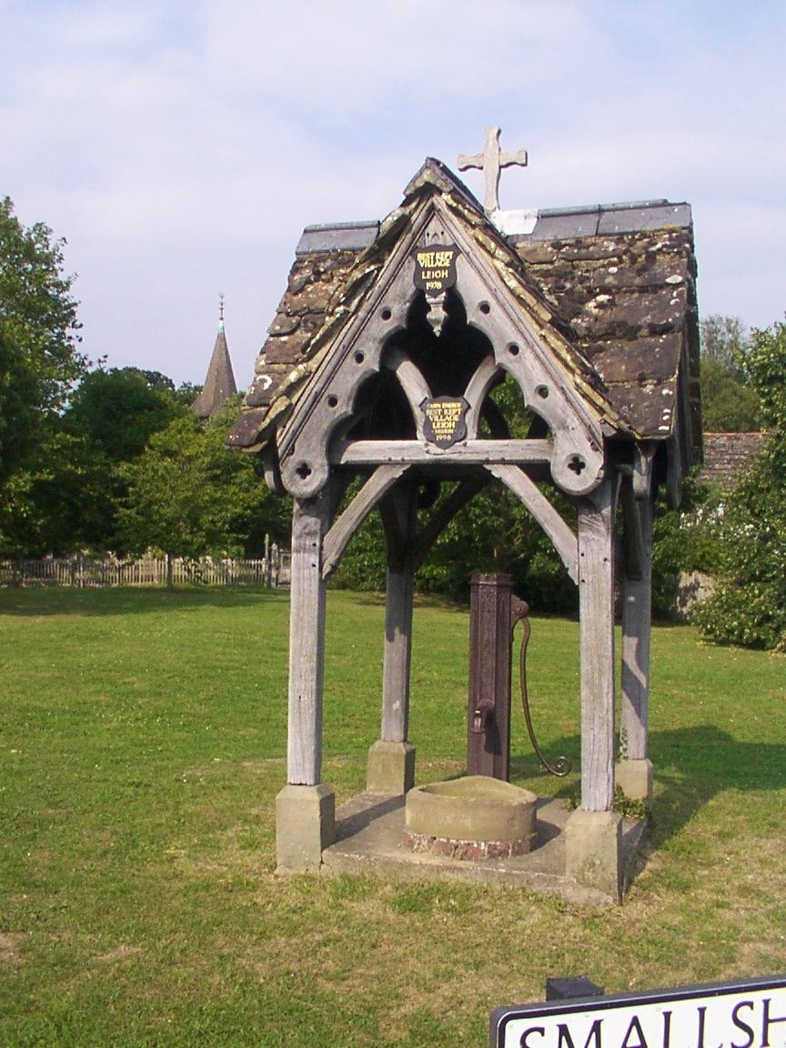
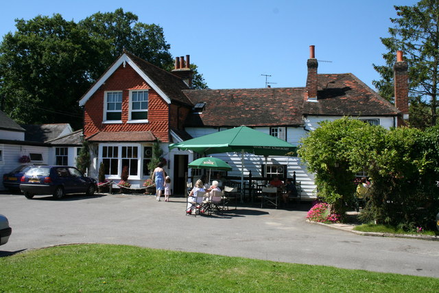
Leigh, Surrey
Leigh is a village and civil parish in Surrey, between Reigate, Dorking and Charlwood in the east of Mole Valley district. The village centre is suburban...

Moon Hall School
Moon Hall School, since 1952 an independent co-educational preparatory school at Leigh, near Reigate in Surrey, is currently, as of 2021, a special school...
Wotton Hundred
The Hundred of Wotton, Wotton Hundred or Dorking Hundred was a hundred in Surrey, England. The hundred comprised a south-central portion of the county...

Betchworth
Betchworth is a village and civil parish in the Mole Valley district of Surrey, England. The village centre is on the north bank of the River Mole and...

Brockham
Brockham is a village and civil parish in the Mole Valley district of Surrey, England. It is approximately 1.5 miles (2.4 km) east of Dorking and 4 miles...
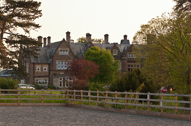
Hartsfield Manor
Hartsfield Manor is an early Victorian house of historical significance located in Betchworth, Surrey, England. It was built in the 1860s as a private...

Newdigate
Newdigate is a village and civil parish in the Mole Valley borough of Surrey lying in a relatively flat part of the Weald to the east of the A24 road between...

Inholms Clay Pit
Inholms Clay Pit is a 8.4-hectare (21-acre) Local Nature Reserve south of Dorking in Surrey. It is owned by Mole Valley District Council and from 2009...
Nearby Amenities
Located within 500m of 51.208868,-0.267745Have you been to Bunce Common?
Leave your review of Bunce Common below (or comments, questions and feedback).