Hoe Wood

Wood, Forest in Sussex Horsham

England

Hoe Wood

Sheep north of Eastout
Sheep north of Eastout Credit: Ian Cunliffe

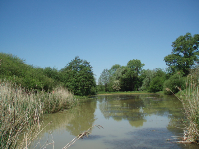
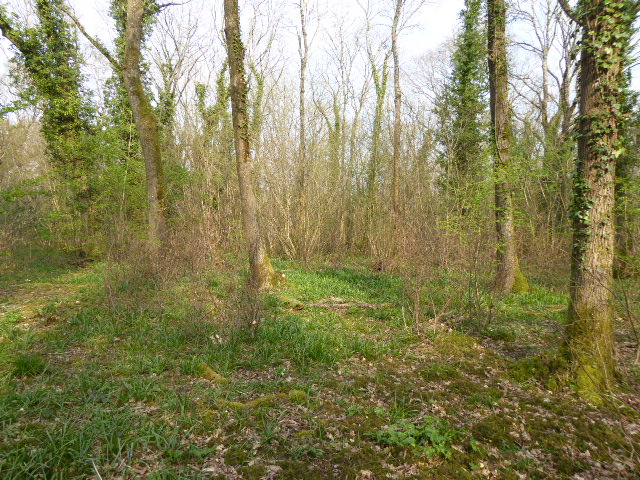
Hoe Wood, located in the county of Sussex, England, is a picturesque forest encompassing an area of approximately 300 acres. It is situated near the town of Lewes and is known for its stunning natural beauty and rich biodiversity. The wood is predominantly made up of native broadleaf trees, including oak, beech, and ash, which provide a vibrant and diverse habitat for various wildlife species.

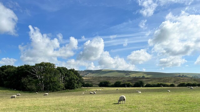
Hoe Wood is a popular destination for nature enthusiasts and hikers, offering numerous walking trails that meander through its dense foliage. The woodland floor is adorned with an array of wildflowers and ferns, creating a colorful and enchanting scene during the spring and summer months.

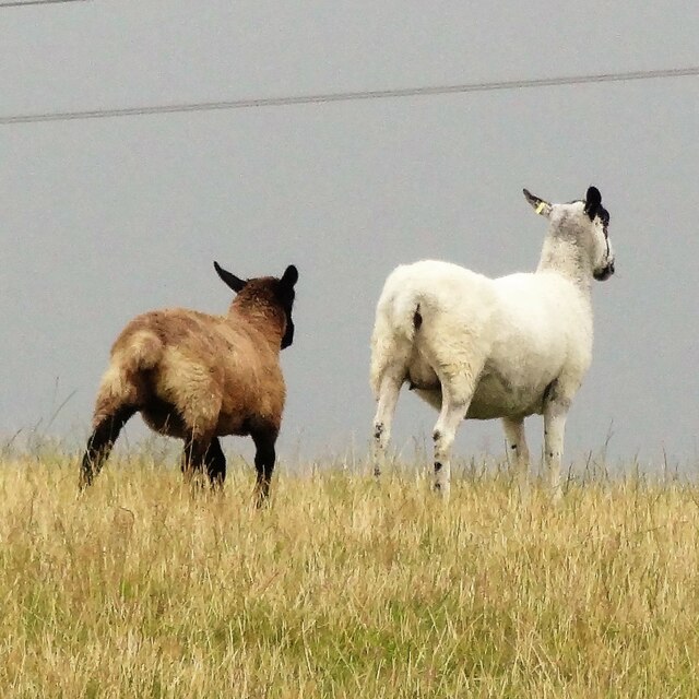
The forest also boasts a thriving bird population, with species such as woodpeckers, nightingales, and tawny owls frequently spotted among the treetops. Deer and foxes are often glimpsed in the undergrowth, adding to the area's sense of wilderness and natural tranquility.

Managed by the local authority, the wood is well-preserved and offers a peaceful retreat from the hustle and bustle of nearby towns. It attracts visitors throughout the year, who come to appreciate its serene atmosphere and immerse themselves in its natural wonders.

Overall, Hoe Wood in Sussex is a captivating and idyllic woodland, offering a haven of biodiversity and a respite for those seeking a connection with nature.

If you have any feedback on the listing, please let us know in the comments section below.
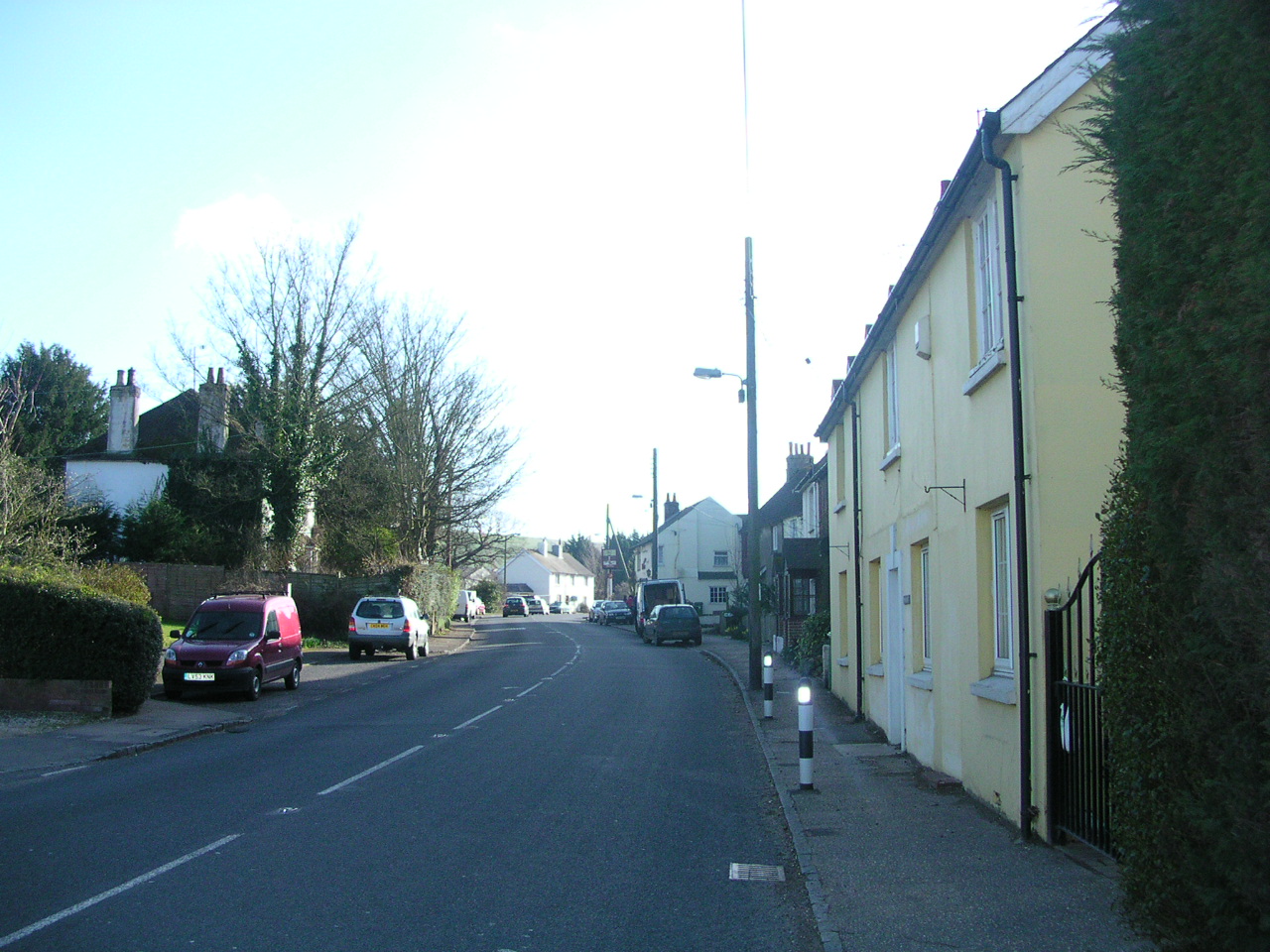
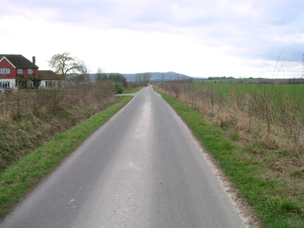
Hoe Wood Images

Images are sourced within 2km of 50.907009/-0.26923308 or Grid Reference TQ2113. Thanks to Geograph Open Source API. All images are credited.

Sheep north of Eastout
Maize crop on the Lydds "The Lydds" is the local name for the south-facing slope on the south side of Henfield. However, it isn't marked as such on any of the OS maps.
Maize crop on the Lydds
"The Lydds" is the local name for the south-facing slope on the south side of Henfield. However, it isn't marked as such on any of the OS maps.
Wild angelica - Angelica sylvestris This is not a particularly common plant in Sussex, compared with other umbellifers such as hogweed and cow parsley - but it grows hereabouts in abundance.
Wild angelica - Angelica sylvestris
This is not a particularly common plant in Sussex, compared with other umbellifers such as hogweed and cow parsley - but it grows hereabouts in abundance.
Rose hips by the disused railway track
View WSW over the Adur floodplain It has rained a fair bit recently, but this flooding is normal here in autumn and winter. Chanctonbury Ring can be seen in the distance on the left.
View WSW over the Adur floodplain
It has rained a fair bit recently, but this flooding is normal here in autumn and winter. Chanctonbury Ring can be seen in the distance on the left.
The Hundred Steddle Cottage This is quite a large house to be called a "cottage", but that is what it says on the map. This is a cross-grid shot. The camera was in the square to the south.
The Hundred Steddle Cottage
This is quite a large house to be called a "cottage", but that is what it says on the map. This is a cross-grid shot. The camera was in the square to the south.
Gate latch by the Downs Link footpath
Fungi growing on horse manure
Rose hips
Rose hips
View SE towards Truleigh Hill Horton Wood is on the left.
View SE towards Truleigh Hill
Horton Wood is on the left.
Outbuilding at New Hall
View south towards the South Downs The nearest buildings are those of Broadmare Farm.
View south towards the South Downs
The nearest buildings are those of Broadmare Farm.
View WSW across flooded land near the River Adur This flooding is normal here during the winter months. Chanctonbury Ring can be seen in the distance.
View WSW across flooded land near the River Adur
This flooding is normal here during the winter months. Chanctonbury Ring can be seen in the distance.
Flood water on the east side of the disused railway track
Pylon in a field of buttercups
Nettle leaf
Nettle leaf
Cows by the public footpath These cows were gathered near the stile. They are usually further along the footpath - to the east.
Cows by the public footpath
These cows were gathered near the stile. They are usually further along the footpath - to the east.
River Adur - view towards Truleigh Hill
Show me another place!

Hoe Wood is located at Grid Ref: TQ2113 (Lat: 50.907009, Lng: -0.26923308)

Administrative County: West Sussex

District: Horsham

Police Authority: Sussex

What 3 Words

///passport.glassware.blaring. Near Henfield, West Sussex

Related Wikis

Woods Mill

Woods Mill is a 19-hectare (47-acre) nature reserve south of Henfield in West Sussex. It is managed by the Sussex Wildlife Trust.This is the headquarters...

Small Dole

Small Dole is a village in the Horsham District of West Sussex, in England. It lies on the A2037 road two miles (3.2 km) south of Henfield. In the late...

Tottington Wood

Tottington Wood is a 5.1-hectare (13-acre) Local Nature Reserve in Small Dole in West Sussex. It is owned by Hopegar Properties and managed by The Tottington...

Horton Clay Pit

Horton Clay Pit is a 0.4-hectare (0.99-acre) geological Site of Special Scientific Interest in Small Dole in West Sussex. It is a Geological Conservation...

Sussex Greensand Way

The Sussex Greensand Way is a Roman road that runs east-west linking the London to Lewes Way at Barcombe Mills to Stane Street at Hardham. The road, which...

Woodmancote, Horsham District

Woodmancote is a village and civil parish in the Horsham District of West Sussex, England. The village is 1 mile (1.5 km) southeast of Henfield on the...

Edburton

Edburton is a small village and former civil parish, now in the parish of Upper Beeding, in the Horsham district, in the county of West Sussex, England...

St Peter's Church, Henfield

St Peter's Church is a Church of England parish church in the large village of Henfield, West Sussex. Placed on the site of an 8th-century Saxon church...

Nearby Amenities

Located within 500m of 50.907009,-0.26923308
Bus Stop
Woods Mill
Bus: yes
Naptan AtcoCode: 4400HR0350
Naptan Bearing: SW
Naptan CommonName: Woods Mill
Naptan Indicator: o/s Woods Mill
Naptan Landmark: Horn Lane
Naptan NaptanCode: wsxawdpm
Naptan Street: Shoreham Road
Naptan Verified: no
Public Transport: platform
Source: naptan_import
Lat/Long: 50.9108068/-0.2690144
Bus Stop
Woods Mill
Bus: yes
Naptan AtcoCode: 4400HR0351
Naptan Bearing: NE
Naptan CommonName: Woods Mill
Naptan Indicator: o/s Woods Mill
Naptan Landmark: Horn Lane
Naptan NaptanCode: wsxawdpt
Naptan Street: Shoreham Road
Naptan Verified: no
Public Transport: platform
Source: naptan_import
Lat/Long: 50.9105302/-0.2696592
Bus Stop
Hoewood
Naptan AtcoCode: 4400HR1123
Naptan Bearing: S
Naptan CommonName: Hoewood
Naptan Indicator: Hoewood
Naptan Landmark: New Hall Lane
Naptan Street: Shoreham Road
Naptan Verified: no
Source: naptan_import
Lat/Long: 50.9068861/-0.2737638
Bus Stop
Hoewood
Naptan AtcoCode: 4400HR1124
Naptan Bearing: N
Naptan CommonName: Hoewood
Naptan Indicator: Hoewood
Naptan Landmark: New Hall Lane
Naptan Street: Shoreham Road
Naptan Verified: no
Source: naptan_import
Lat/Long: 50.9063583/-0.273954
Addr Housename: Farmhouse Caravans and Camping
Phone: +44 1273 493157
Tourism: caravan_site
Website: http://www.farmhousecampsite.co.uk/
Lat/Long: 50.9033162/-0.2697669
Addr City: Henfield
Addr Housename: Flint Cottages
Addr Locality: Small Dole
Addr Postcode: BN5 9YG
Addr Street: Shoreham Road
Lat/Long: 50.9060366/-0.2741924
Addr Place: Hill View
Addr Postcode: BN5 9XX
Addr Street: Hill View
Lat/Long: 50.9035799/-0.2718495
The data included in this document is from www.openstreetmap.org. The data is made available under ODbL.

Have you been to Hoe Wood?

Leave your review of Hoe Wood below (or comments, questions and feedback).