Henfield

Civil Parish in Sussex Horsham

England

Henfield

Sheep north of Eastout
Sheep north of Eastout Credit: Ian Cunliffe

Henfield is a civil parish located in the Horsham District of West Sussex, England. It is situated approximately 12 miles northwest of Brighton, and 13 miles north of Worthing. The parish covers an area of around 16 square kilometers and has a population of approximately 5,500 residents.

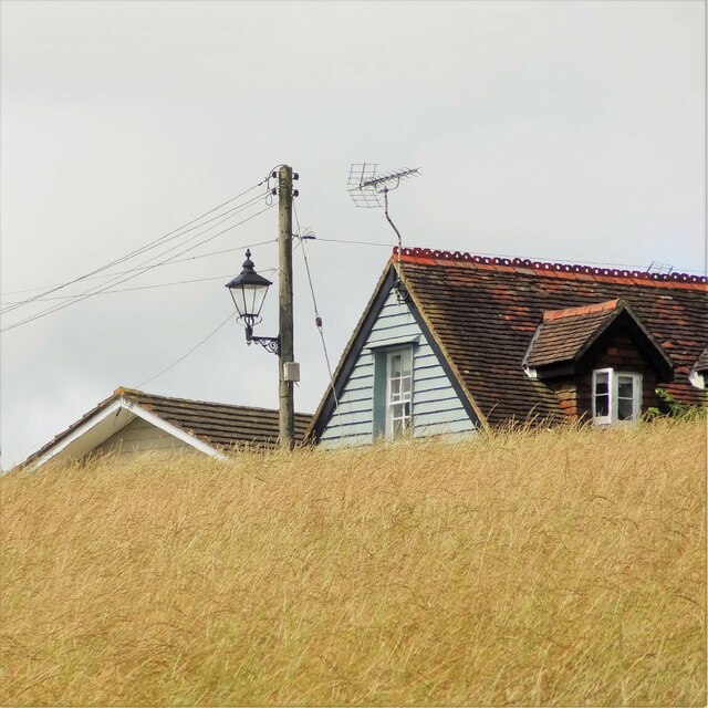
The village of Henfield is known for its picturesque rural surroundings and charming historic buildings. It boasts a rich history dating back to the Saxon era, with remnants of its past still visible in the form of ancient timber-framed houses and the 13th-century St. Peter's Church.

Henfield offers a range of amenities and services to its residents. The village center has a variety of shops, including a supermarket, local boutiques, and traditional pubs. There are also several cafes and restaurants, providing a selection of dining options. The community is served by a primary school, a medical center, and a post office.

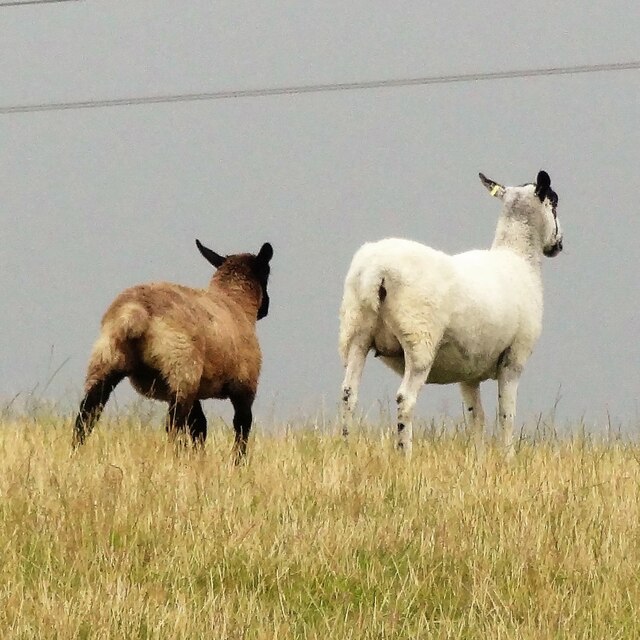
The village is surrounded by beautiful countryside, making it an ideal location for outdoor enthusiasts. There are numerous walking and cycling routes nearby, including the South Downs Way, which provides stunning views of the South Downs National Park. Henfield also has several sports clubs and facilities, including a cricket club and a leisure center.

Overall, Henfield offers a peaceful and idyllic setting for its residents, with a strong sense of community and a range of amenities to cater to their needs. Its proximity to major towns and cities makes it an attractive place to live for those seeking a rural lifestyle with easy access to urban facilities.

If you have any feedback on the listing, please let us know in the comments section below.
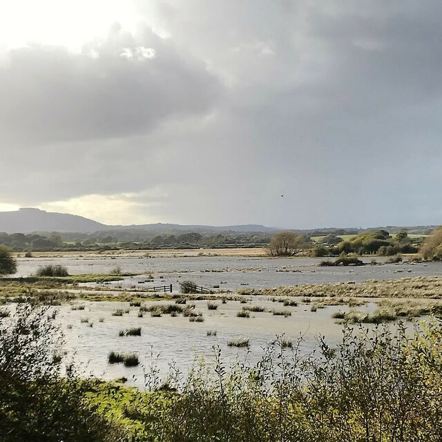
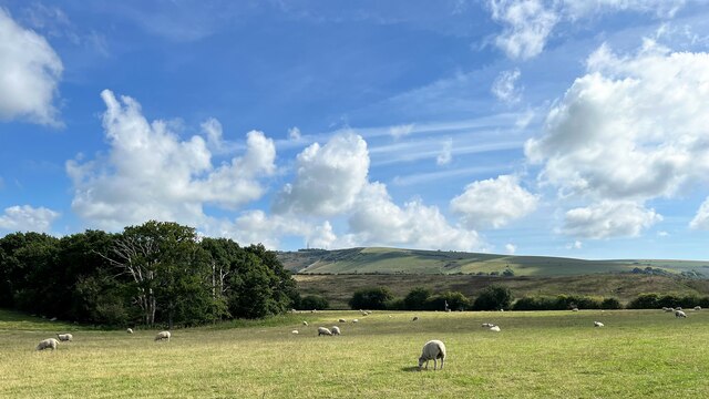
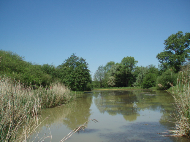
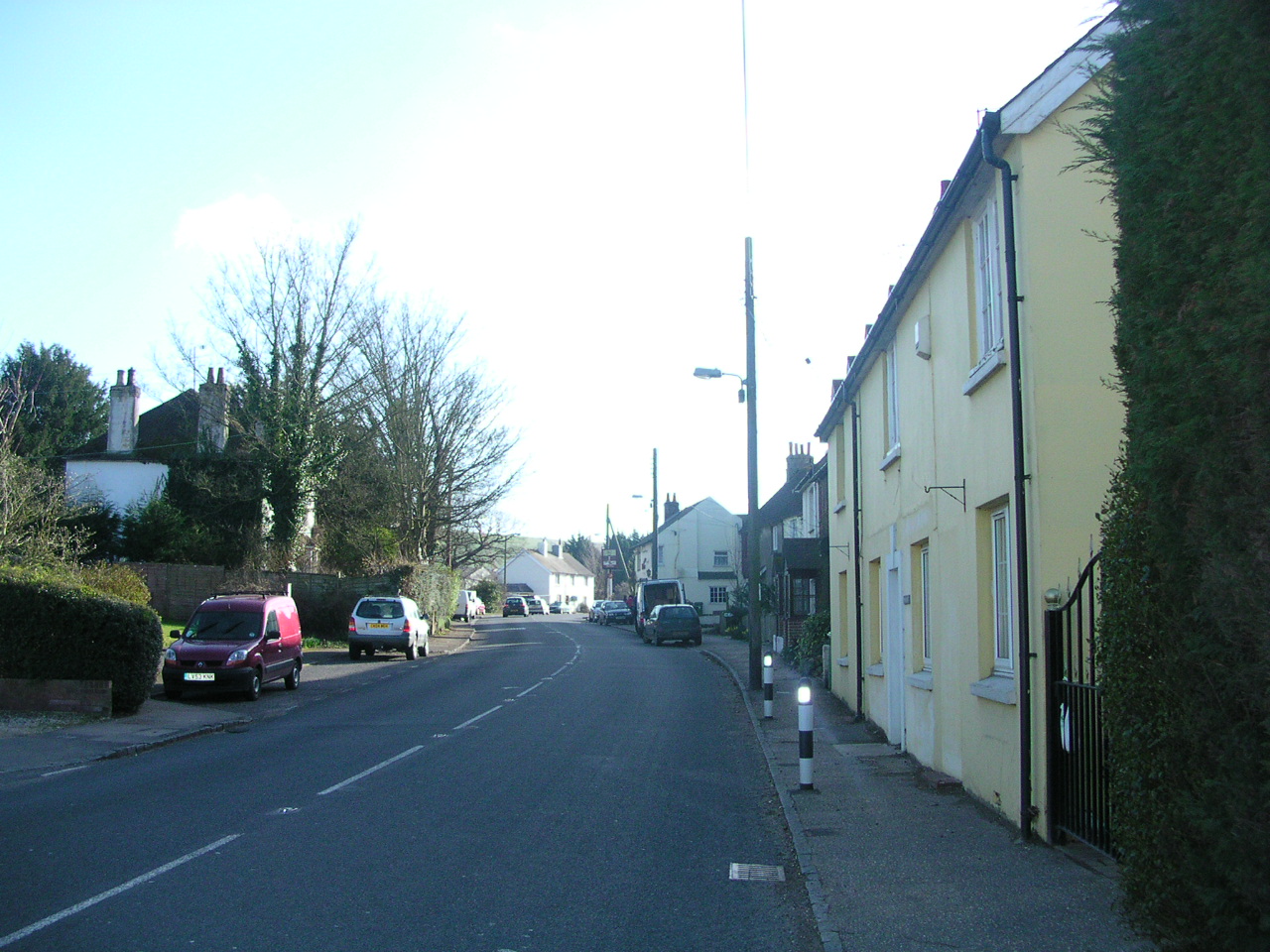
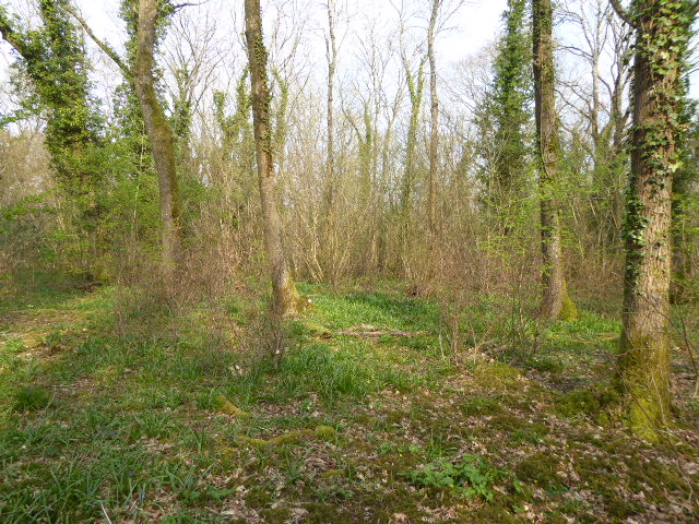
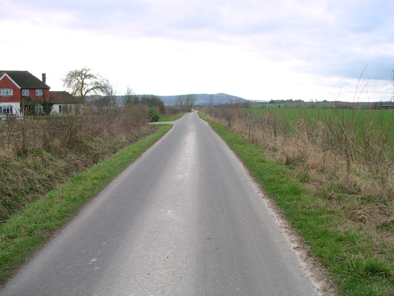
Henfield Images

Images are sourced within 2km of 50.909063/-0.278117 or Grid Reference TQ2113. Thanks to Geograph Open Source API. All images are credited.

Sheep north of Eastout
Maize crop on the Lydds "The Lydds" is the local name for the south-facing slope on the south side of Henfield. However, it isn't marked as such on any of the OS maps.
Maize crop on the Lydds
"The Lydds" is the local name for the south-facing slope on the south side of Henfield. However, it isn't marked as such on any of the OS maps.
New house near the bottom of Windmill Lane A small barn or outbuilding stood here before. Some kind of conversion has taken place.
New house near the bottom of Windmill Lane
A small barn or outbuilding stood here before. Some kind of conversion has taken place.
House on King James's Lane
Wild angelica - Angelica sylvestris This is not a particularly common plant in Sussex, compared with other umbellifers such as hogweed and cow parsley - but it grows hereabouts in abundance.
Wild angelica - Angelica sylvestris
This is not a particularly common plant in Sussex, compared with other umbellifers such as hogweed and cow parsley - but it grows hereabouts in abundance.
Rose hips by the disused railway track
Leaves by the footpath
Grapes on the Lydds There is a small vineyard here with enough grapes (in a good year) to make quite a few bottles of wine.
Grapes on the Lydds
There is a small vineyard here with enough grapes (in a good year) to make quite a few bottles of wine.
View WSW over the Adur floodplain It has rained a fair bit recently, but this flooding is normal here in autumn and winter. Chanctonbury Ring can be seen in the distance on the left.
View WSW over the Adur floodplain
It has rained a fair bit recently, but this flooding is normal here in autumn and winter. Chanctonbury Ring can be seen in the distance on the left.
Gate latch by the Downs Link footpath
Fungi growing on horse manure
Rose hips
Rose hips
View SE towards Truleigh Hill Horton Wood is on the left.
View SE towards Truleigh Hill
Horton Wood is on the left.
Outbuilding at New Hall
Vine leaves on "The Lydds" There is a micro-vineyard on this part of the south-facing slope known as "The Lydds". The land hereabouts was formerly used for market gardening - and could probably support more vineyards.
Vine leaves on "The Lydds"
There is a micro-vineyard on this part of the south-facing slope known as "The Lydds". The land hereabouts was formerly used for market gardening - and could probably support more vineyards.
Flooded land - and view SW towards Truleigh Hill This land is often flooded in the autumn and winter.
Flooded land - and view SW towards Truleigh Hill
This land is often flooded in the autumn and winter.
View south towards the South Downs The nearest buildings are those of Broadmare Farm.
View south towards the South Downs
The nearest buildings are those of Broadmare Farm.
View WSW across flooded land near the River Adur This flooding is normal here during the winter months. Chanctonbury Ring can be seen in the distance.
View WSW across flooded land near the River Adur
This flooding is normal here during the winter months. Chanctonbury Ring can be seen in the distance.
Show me another place!

Henfield is located at Grid Ref: TQ2113 (Lat: 50.909063, Lng: -0.278117)

Administrative County: West Sussex

District: Horsham

Police Authority: Sussex

What 3 Words

///painting.observe.shuffles. Near Henfield, West Sussex

Related Wikis

Woods Mill

Woods Mill is a 19-hectare (47-acre) nature reserve south of Henfield in West Sussex. It is managed by the Sussex Wildlife Trust.This is the headquarters...

Small Dole

Small Dole is a village in the Horsham District of West Sussex, in England. It lies on the A2037 road two miles (3.2 km) south of Henfield. In the late...

Tottington Wood

Tottington Wood is a 5.1-hectare (13-acre) Local Nature Reserve in Small Dole in West Sussex. It is owned by Hopegar Properties and managed by The Tottington...

Horton Clay Pit

Horton Clay Pit is a 0.4-hectare (0.99-acre) geological Site of Special Scientific Interest in Small Dole in West Sussex. It is a Geological Conservation...

Sussex Greensand Way

The Sussex Greensand Way is a Roman road that runs east-west linking the London to Lewes Way at Barcombe Mills to Stane Street at Hardham. The road, which...

St Peter's Church, Henfield

St Peter's Church is a Church of England parish church in the large village of Henfield, West Sussex. Placed on the site of an 8th-century Saxon church...

Woodmancote, Horsham District

Woodmancote is a village and civil parish in the Horsham District of West Sussex, England. The village is 1 mile (1.5 km) southeast of Henfield on the...

Henfield railway station

Henfield was a railway station on the Steyning Line which served the village of Henfield. It was equipped with a siding which received coal to serve the...

Related Videos

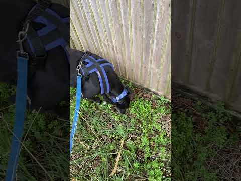
Dilly loves goosegrass

Dilly just adores eating "Sticky Willy" aka goosegrass or Galium aparine.

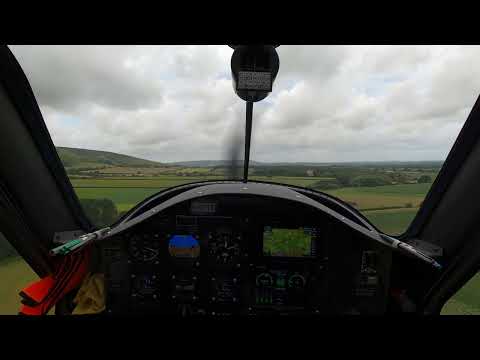
Pipistrel Velis Electric landing at Truleigh Farm airstrip

Very exciting landing in gusty cross winds at Truleigh Farm..... don't try it at home, without adequate training and experience !

Nearby Amenities

Located within 500m of 50.909063,-0.278117
Bus Stop
Hoewood
Naptan AtcoCode: 4400HR1123
Naptan Bearing: S
Naptan CommonName: Hoewood
Naptan Indicator: Hoewood
Naptan Landmark: New Hall Lane
Naptan Street: Shoreham Road
Naptan Verified: no
Source: naptan_import
Lat/Long: 50.9068861/-0.2737638
Bus Stop
Hoewood
Naptan AtcoCode: 4400HR1124
Naptan Bearing: N
Naptan CommonName: Hoewood
Naptan Indicator: Hoewood
Naptan Landmark: New Hall Lane
Naptan Street: Shoreham Road
Naptan Verified: no
Source: naptan_import
Lat/Long: 50.9063583/-0.273954
Addr City: Henfield
Addr Housename: Flint Cottages
Addr Locality: Small Dole
Addr Postcode: BN5 9YG
Addr Street: Shoreham Road
Lat/Long: 50.9060366/-0.2741924
Power: pole
Lat/Long: 50.913156/-0.2797311
Power: pole
Lat/Long: 50.9122966/-0.2801044
Power: pole
Lat/Long: 50.9115326/-0.2804263
Power: pole
Lat/Long: 50.9115723/-0.2819654
Power: pole
Lat/Long: 50.9116073/-0.2834859
Power: pole
Lat/Long: 50.9057663/-0.282363
Power: pole
Lat/Long: 50.9054358/-0.282297
The data included in this document is from www.openstreetmap.org. The data is made available under ODbL.

Have you been to Henfield?

Leave your review of Henfield below (or comments, questions and feedback).