Jordan's Wood
Wood, Forest in Surrey Mole Valley
England
Jordan's Wood
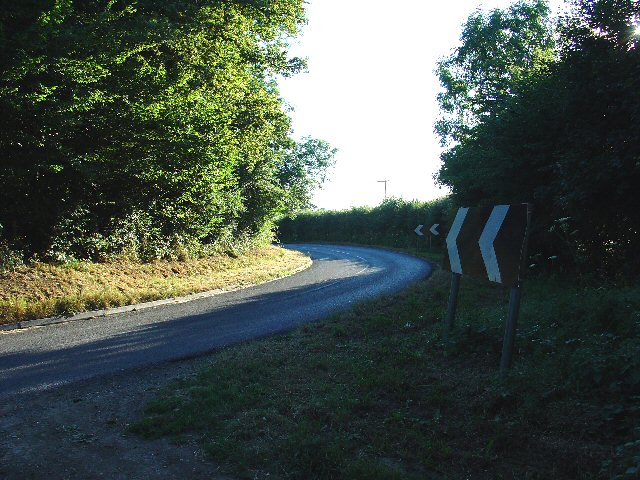
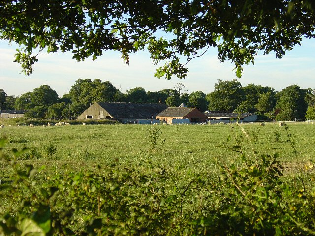
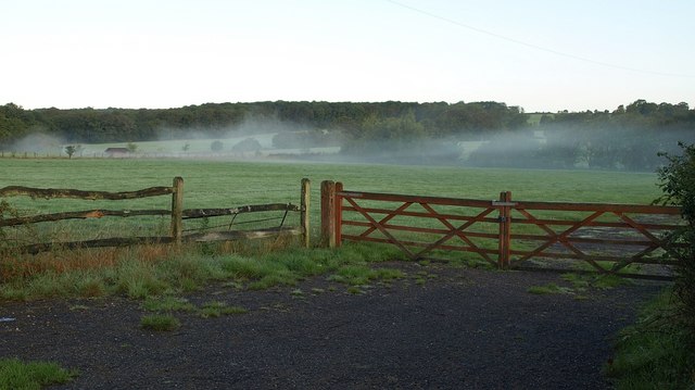
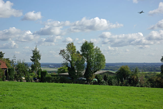
Jordan's Wood is a picturesque woodland located in the county of Surrey, England. Situated near the village of East Clandon, this enchanting forest covers an area of approximately 20 acres and is a popular destination for nature enthusiasts, hikers, and families seeking a peaceful retreat.
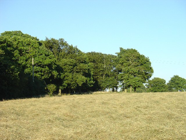
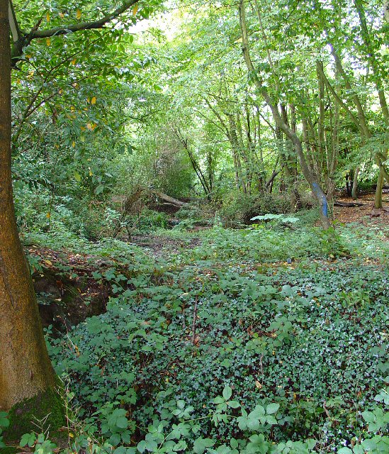
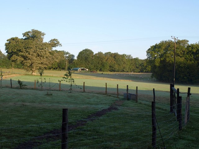
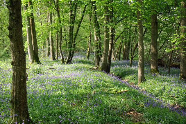
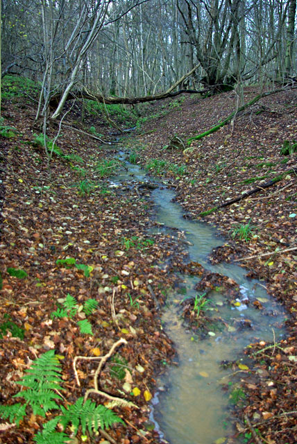
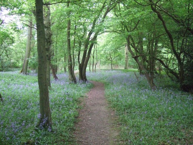
The woodland is characterized by its diverse ecosystem, featuring a variety of tree species such as oak, beech, birch, and chestnut. These towering trees, along with the lush undergrowth of ferns and wildflowers, create a serene and tranquil ambiance throughout the seasons. The forest floor is covered with a rich carpet of moss and fallen leaves, providing a natural habitat for an array of woodland creatures including squirrels, rabbits, and numerous bird species.
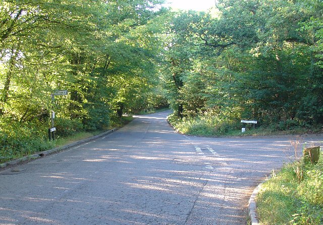
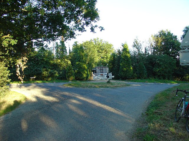
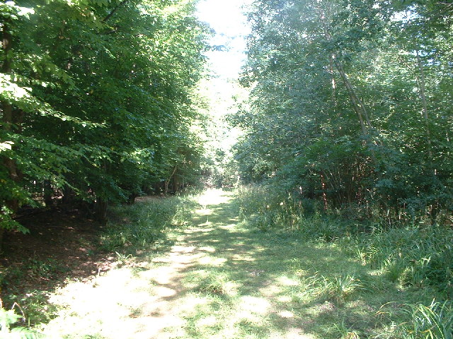
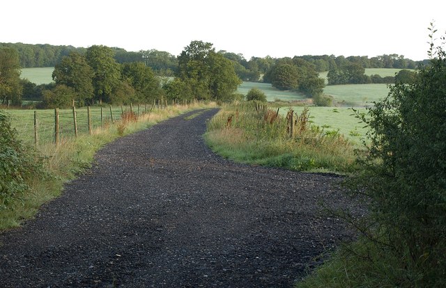
The wood boasts a network of well-maintained footpaths and trails, allowing visitors to explore its beauty at their own pace. One of the highlights of Jordan's Wood is the presence of a small stream that meanders through the forest, adding to its charm and providing an opportunity for visitors to relax by the water's edge.
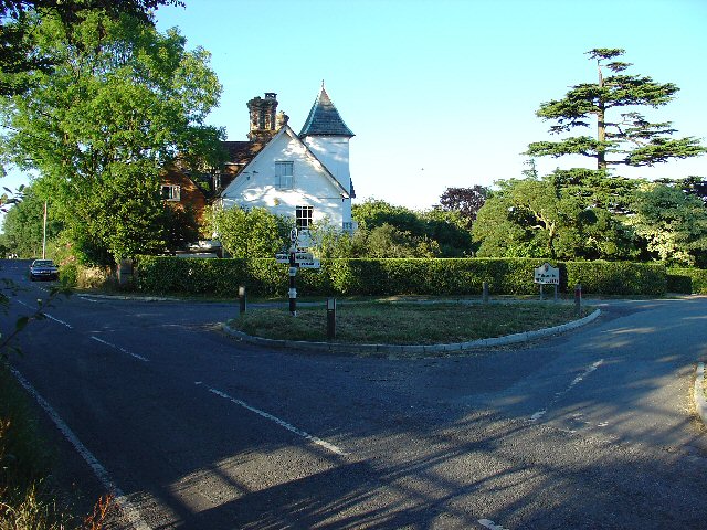
Its accessibility and proximity to nearby villages make Jordan's Wood a popular spot for outdoor activities such as picnicking, birdwatching, and photography. The peaceful atmosphere and scenic surroundings also make it an ideal location for meditation or simply unwinding amidst nature's beauty.
Managed by a local conservation trust, Jordan's Wood is dedicated to preserving and protecting the natural habitat, ensuring that future generations can continue to enjoy its beauty. With its tranquil atmosphere and abundance of flora and fauna, Jordan's Wood provides a serene escape from the hustle and bustle of everyday life.
If you have any feedback on the listing, please let us know in the comments section below.
Jordan's Wood Images
Images are sourced within 2km of 51.141567/-0.26805237 or Grid Reference TQ2139. Thanks to Geograph Open Source API. All images are credited.
Jordan's Wood is located at Grid Ref: TQ2139 (Lat: 51.141567, Lng: -0.26805237)
Administrative County: Surrey
District: Mole Valley
Police Authority: Surrey
What 3 Words
///drag.grin.plates. Near Capel, Surrey
Nearby Locations
Related Wikis

Glover's Wood
Glover's Wood is a 74.5-hectare (184-acre) biological Site of Special Scientific Interest east of Charlwood in Surrey. It is a Nature Conservation Review...

Rusper
Rusper is a village and civil parish in the Horsham District of West Sussex, England. It lies 4.1 miles (6.6 km) north of the town of Horsham and 4.2 miles...
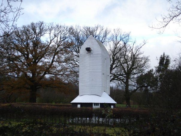
Lowfield Heath Windmill
Lowfield Heath Windmill is a grade II listed post mill at Charlwood, Surrey, England which has been restored to working order. == History == The Lowfield...

Lambs Green
Lambs Green is a hamlet in the civil parish of Rusper and the Horsham District of West Sussex, England. It lies on the Rusper to Ifield road 3.1 miles...

Church of St Nicholas, Charlwood
The Church of St Nicholas, Charlwood, is the parish church of Charlwood, Surrey, England. With a 12th-century tower and nave section and examples of 13th...

Newdigate Brickworks
Newdigate Brickworks is a 24-hectare (59-acre) nature reserve in Newdigate in Surrey. It is managed by the Surrey Wildlife Trust.The clay pits of this...
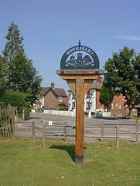
Charlwood
Charlwood is a village and civil parish in the Mole Valley district of Surrey, England. It is immediately northwest of London Gatwick Airport in West Sussex...
Edolph's Copse
Edolph's Copse is a 27.6-hectare (68-acre) Local Nature Reserve west of Horley in Surrey. It is owned and managed by the Woodland Trust.The copse is mainly...
Nearby Amenities
Located within 500m of 51.141567,-0.26805237Have you been to Jordan's Wood?
Leave your review of Jordan's Wood below (or comments, questions and feedback).