Frederick's Wood

Wood, Forest in Hertfordshire St. Albans

England

Frederick's Wood

Cycle path towards Sleapcross Gardens
Cycle path towards Sleapcross Gardens Credit: Mr Ignavy

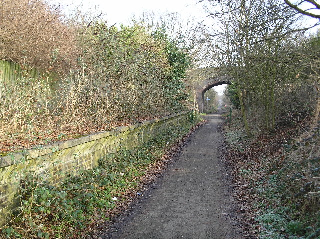
Frederick's Wood is a picturesque forest located in the county of Hertfordshire, England. Covering an area of approximately 50 acres, this woodland is a popular destination for nature enthusiasts and hikers alike.

The wood is primarily composed of mature trees, including oak, beech, and birch, which create a dense and lush canopy. These trees provide a haven for a variety of wildlife, making Frederick's Wood a biodiversity hotspot. Visitors can spot a range of bird species, such as woodpeckers, robins, and owls, as well as small mammals like squirrels and foxes.

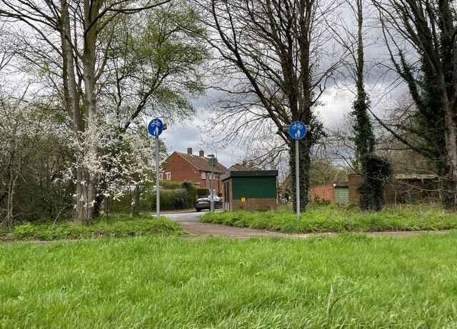
Tranquil pathways wind through the forest, offering visitors the chance to explore its beauty. These trails are well-maintained and are suitable for all ages and fitness levels. Along the way, there are several designated picnic areas, where visitors can relax and enjoy the peaceful surroundings.

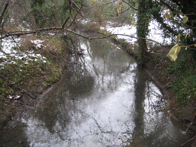
Frederick's Wood is also home to a small pond, which attracts a host of aquatic creatures, including ducks and frogs. This serene spot is a favorite among photographers and provides a tranquil setting for nature lovers.

The wood is easily accessible, with ample parking available nearby. There is no entrance fee, making it an affordable day out for families and individuals. However, visitors are encouraged to respect the environment and follow the designated paths to preserve the delicate ecosystem of Frederick's Wood for future generations to enjoy.

If you have any feedback on the listing, please let us know in the comments section below.

Frederick's Wood Images

Images are sourced within 2km of 51.731422/-0.25307014 or Grid Reference TL2005. Thanks to Geograph Open Source API. All images are credited.

Cycle path towards Sleapcross Gardens
Byway towards Ellenbrook
The Crooked Billet Pub Beer Garden A place where children play and adults drink seemingly in their separate spheres. A shot in black and white seemed to accentuate the separation of these two worlds.
The Crooked Billet Pub Beer Garden
A place where children play and adults drink seemingly in their separate spheres. A shot in black and white seemed to accentuate the separation of these two worlds.
Tyttenhanger House This grade 1 listed building, now converted to offices, sits in Tyttenhanger Park, which occupied most of the square
Tyttenhanger House
This grade 1 listed building, now converted to offices, sits in Tyttenhanger Park, which occupied most of the square
Bowmans Lakes This is one of several lakes used for wash water by Lafarge Sand and Gravel. It is a haven for water birds and fishermen
Bowmans Lakes
This is one of several lakes used for wash water by Lafarge Sand and Gravel. It is a haven for water birds and fishermen
St Marks Church Colney Heath Wonder if the congregation stays at home and logs on to the sermons
St Marks Church Colney Heath
Wonder if the congregation stays at home and logs on to the sermons
River Colne at Colney Heath I often wonder which Colne came first in the naming 
stages
River Colne at Colney Heath
I often wonder which Colne came first in the naming stages
Pumping Station at Colney Heath This is a pumping station extracting water from one or more borehole.
Round the back of the site the North London Society of Model Engineers has a model railway system open on Summer Sunday afternoons.
Pumping Station at Colney Heath
This is a pumping station extracting water from one or more borehole. Round the back of the site the North London Society of Model Engineers has a model railway system open on Summer Sunday afternoons.
Tyttenhanger: Gravel pit workings Flooded gravel pits to the left with a conveyor belt bringing material into a central batching plant from more distant active workings, the River Colne to the right, and Tyttenhanger Park beyond the trees in the distance, viewed looking southwards.
Tyttenhanger: Gravel pit workings
Flooded gravel pits to the left with a conveyor belt bringing material into a central batching plant from more distant active workings, the River Colne to the right, and Tyttenhanger Park beyond the trees in the distance, viewed looking southwards.
River Colne near Colney Heath Viewed looking downstream from the Church Lane road bridge.
River Colne near Colney Heath
Viewed looking downstream from the Church Lane road bridge.
Colney Heath: Wistlea Crescent On the north side of Colney Heath High Street.
Colney Heath: Wistlea Crescent
On the north side of Colney Heath High Street.
A414 North Orbital Road at Colney Heath (1) The North Orbital Road was an early precursor to the M25 Motorway and was planned in the 1920s as a road circulating around the north side of London at about a 20 mile radius of Charing Cross. It was planned to start at Colnbrook on the A4 and, skirting past Rickmansworth, St Albans, Hatfield, Hoddesdon, and Brentwood, to terminate at Tilbury, a distance of about 75 miles. In the event only sections of it got built before the Second World War intervened. Some sections of it were then planned to be incorporated into Ringway 4, the outermost of the four London ringways that were designed, but never built, in the 1970s.

This is taken, with snow still on the ground, from the footbridge looking towards the north-eastern end of the approximate 400 metre long dog-bone roundabout at Colney Heath. Please see <a href="https://www.geograph.org.uk/photo/1669992">TL1906 : A414 North Orbital Road at Colney Heath (2)</a> for the view in the opposite direction.
A414 North Orbital Road at Colney Heath (1)
The North Orbital Road was an early precursor to the M25 Motorway and was planned in the 1920s as a road circulating around the north side of London at about a 20 mile radius of Charing Cross. It was planned to start at Colnbrook on the A4 and, skirting past Rickmansworth, St Albans, Hatfield, Hoddesdon, and Brentwood, to terminate at Tilbury, a distance of about 75 miles. In the event only sections of it got built before the Second World War intervened. Some sections of it were then planned to be incorporated into Ringway 4, the outermost of the four London ringways that were designed, but never built, in the 1970s. This is taken, with snow still on the ground, from the footbridge looking towards the north-eastern end of the approximate 400 metre long dog-bone roundabout at Colney Heath. Please see TL1906 : A414 North Orbital Road at Colney Heath (2) for the view in the opposite direction.
A414 North Orbital Road at Colney Heath (2) This was taken looking towards the south-western end of the dog-bone roundabout. Please see <a href="https://www.geograph.org.uk/photo/1669919">TL1906 : A414 North Orbital Road at Colney Heath (1)</a> for a history and a view in the opposite direction.
A414 North Orbital Road at Colney Heath (2)
This was taken looking towards the south-western end of the dog-bone roundabout. Please see TL1906 : A414 North Orbital Road at Colney Heath (1) for a history and a view in the opposite direction.
Colney Heath: St Mark's Church The church was built between 1844 and 1845, originally in an isolated location some distance away from the village of Colney Heath. However through the years since newer houses have been built nearer to it, so that it now appears as part of the fabric of the village. The style of the church was basically simple but the bell tower and the arched cover over the steps give it an Italianate appearance. The Church's website is here <span class="nowrap"><a title="http://www.stmarks.info/" rel="nofollow ugc noopener" href="http://www.stmarks.info/">Link</a><img style="margin-left:2px;" alt="External link" title="External link - shift click to open in new window" src="https://s1.geograph.org.uk/img/external.png" width="10" height="10"/></span>
Colney Heath: St Mark's Church
The church was built between 1844 and 1845, originally in an isolated location some distance away from the village of Colney Heath. However through the years since newer houses have been built nearer to it, so that it now appears as part of the fabric of the village. The style of the church was basically simple but the bell tower and the arched cover over the steps give it an Italianate appearance. The Church's website is here LinkExternal link
Ellen Brook at Colney Heath Ellen Brook is a tributary of the River Colne that rises, unsurprisingly, in the Ellenbrook area of Hatfield.
Ellen Brook at Colney Heath
Ellen Brook is a tributary of the River Colne that rises, unsurprisingly, in the Ellenbrook area of Hatfield.
Alpacas, Willows Farm, St Albans Willows Farm is what is called a "petting farm" with close contact with the animals.  I took this image from the public footpath which passes through the farm.
Alpacas, Willows Farm, St Albans
Willows Farm is what is called a "petting farm" with close contact with the animals. I took this image from the public footpath which passes through the farm.
Llama, Willows Farm, St Albans Llama at Willows Farm as seen from the public footpath.
Llama, Willows Farm, St Albans
Llama at Willows Farm as seen from the public footpath.
Alpaca and Sheep, Willows Farm, London Colney Close-up of the alpaca with the sheep in the background as seen from the public footpath at Willows Farm.
Alpaca and Sheep, Willows Farm, London Colney
Close-up of the alpaca with the sheep in the background as seen from the public footpath at Willows Farm.
Show me another place!

Frederick's Wood is located at Grid Ref: TL2005 (Lat: 51.731422, Lng: -0.25307014)

Administrative County: Hertfordshire

District: St. Albans

Police Authority: Hertfordshire

What 3 Words

///entry.hours.pose. Near Hatfield, Hertfordshire

Related Wikis

Colney Heath

Colney Heath is a large village in Hertfordshire, England. The village became a civil parish in 1947 when the St. Peter Rural parish was split to form...

Colney Heath Mill

Colney Heath Mill is a Grade II listed smock mill at Colney Heath, Hertfordshire, England, which has been converted to residential accommodation. ��2...

Colney Heath Local Nature Reserve

Colney Heath Local Nature Reserve is a 22.5 hectare Local Nature Reserve in Colney Heath in Hertfordshire. It is owned and managed by Colney Heath Parish...

Colney Heath F.C.

Colney Heath Football Club is a semi-professional football club based in Colney Heath, Hertfordshire, England. Affiliated to the Hertfordshire County Football...

North Mymms

North Mymms is a civil parish in the English county of Hertfordshire. At the 2011 Census the civil parish had a population of 8,921.The village itself...
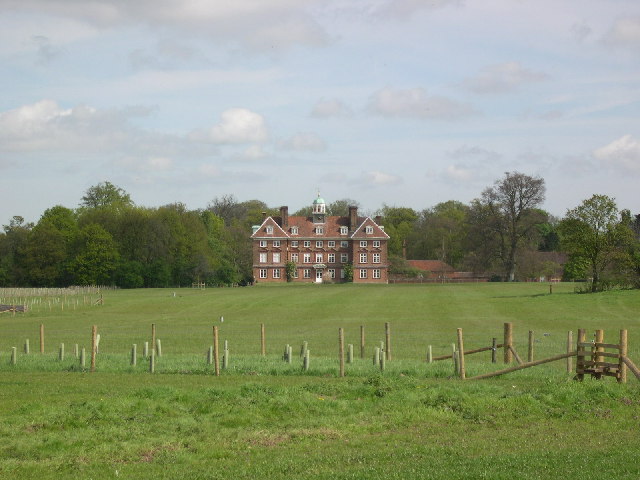
Tyttenhanger House

Tyttenhanger House is a 17th-century country mansion, now converted into commercial offices, at Tyttenhanger, near St Albans, Hertfordshire. It is a Grade...

Sleapshyde

Sleapshyde is a small village in Hertfordshire, United Kingdom. It is located between Hatfield and St Albans, to the south of Smallford and to the north...

Smallford railway station

Smallford railway station was a station on the former St Albans Branch Line in the UK. The station opened as Springfield in 1866, and was renamed in 1879...

Nearby Amenities

Located within 500m of 51.731422,-0.25307014
Swallowhole of intermittent stream in all conditions
Lat/Long: 51.7283993/-0.257065
Power: tower
Lat/Long: 51.7295118/-0.2530441
Power: tower
Lat/Long: 51.7288678/-0.2557321
Power: tower
Lat/Long: 51.7282964/-0.2581198
Power: tower
Lat/Long: 51.7311353/-0.2461589
Power: tower
Lat/Long: 51.7304997/-0.2489104
Man Made: windmill
Lat/Long: 51.7348727/-0.2568641
Coal tax post
Historic: boundary_stone
Inscription: 24 & 25 VICT CAP 42
Material: iron
Note: Coal tax boundary marker 33
Lat/Long: 51.7303861/-0.2558504
Barrier: stile
Lat/Long: 51.7284852/-0.2581304
Barrier: kissing_gate
Lat/Long: 51.7288357/-0.2587286
The data included in this document is from www.openstreetmap.org. The data is made available under ODbL.

Have you been to Frederick's Wood?

Leave your review of Frederick's Wood below (or comments, questions and feedback).