Colney Heath
Downs, Moorland in Hertfordshire St. Albans
England
Colney Heath
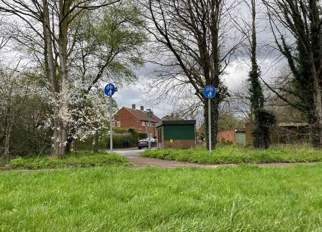
Colney Heath is a charming village located in Hertfordshire, England. Situated on the outskirts of St Albans, it is surrounded by beautiful countryside and offers a serene and picturesque setting. The village lies on the edge of the Colne Valley Regional Park, providing residents and visitors with easy access to stunning natural landscapes, including downs and moorland.
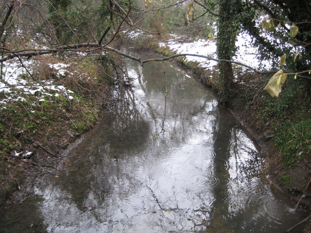
The downs in Colney Heath are characterized by their rolling hills and open grasslands. They offer breathtaking views of the surrounding countryside and are perfect for peaceful walks and outdoor activities. The area is rich in wildlife, with many species of birds, butterflies, and wildflowers to be found.
Moorland can also be found in Colney Heath, adding to the diversity of the landscape. Moorland is characterized by its low-lying vegetation, heather, and peat bogs. It provides a unique habitat for a variety of plant and animal species, including rare and endangered birds such as the Eurasian curlew and the black grouse.
Colney Heath itself is a close-knit community with a range of amenities. The village has a primary school, a church, a village hall, and several local shops and pubs. It also boasts a strong sense of community spirit, with regular events and activities organized for residents of all ages to enjoy.
Overall, Colney Heath is a delightful village in Hertfordshire that offers a perfect blend of natural beauty, community spirit, and a peaceful way of life. Whether exploring the downs or enjoying the local amenities, visitors are sure to be captivated by the charm and tranquility of this special place.
If you have any feedback on the listing, please let us know in the comments section below.
Colney Heath Images
Images are sourced within 2km of 51.733222/-0.25744661 or Grid Reference TL2005. Thanks to Geograph Open Source API. All images are credited.


Colney Heath is located at Grid Ref: TL2005 (Lat: 51.733222, Lng: -0.25744661)
Administrative County: Hertfordshire
District: St. Albans
Police Authority: Hertfordshire
What 3 Words
///then.rated.lock. Near Hatfield, Hertfordshire
Nearby Locations
Related Wikis

Colney Heath
Colney Heath is a large village in Hertfordshire, England. The village became a civil parish in 1947 when the St. Peter Rural parish was split to form...
Colney Heath Mill
Colney Heath Mill is a Grade II listed smock mill at Colney Heath, Hertfordshire, England, which has been converted to residential accommodation. ��2...

Colney Heath Local Nature Reserve
Colney Heath Local Nature Reserve is a 22.5 hectare Local Nature Reserve in Colney Heath in Hertfordshire. It is owned and managed by Colney Heath Parish...
Colney Heath F.C.
Colney Heath Football Club is a semi-professional football club based in Colney Heath, Hertfordshire, England. Affiliated to the Hertfordshire County Football...

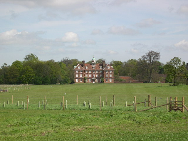
Tyttenhanger House
Tyttenhanger House is a 17th-century country mansion, now converted into commercial offices, at Tyttenhanger, near St Albans, Hertfordshire. It is a Grade...

Sleapshyde
Sleapshyde is a small village in Hertfordshire, United Kingdom. It is located between Hatfield and St Albans, to the south of Smallford and to the north...

North Mymms
North Mymms is a civil parish in the English county of Hertfordshire. At the 2011 Census the civil parish had a population of 8,921.The village itself...
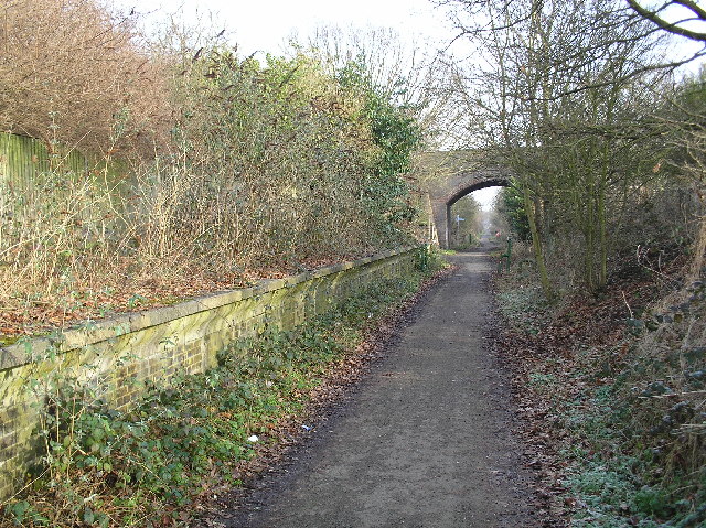
Smallford railway station
Smallford railway station was a station on the former St Albans Branch Line in the UK. The station opened as Springfield in 1866, and was renamed in 1879...
Nearby Amenities
Located within 500m of 51.733222,-0.25744661Have you been to Colney Heath?
Leave your review of Colney Heath below (or comments, questions and feedback).