Roestock

Settlement in Hertfordshire St. Albans

England

Roestock

St Alban Way towards St Albans
St Alban Way towards St Albans Credit: Ian S

Roestock is a small village located in the county of Hertfordshire, England. Situated approximately 3 miles southeast of St Albans, it is nestled in a rural setting surrounded by picturesque countryside. Roestock falls within the district of Hertsmere and is part of the civil parish of Colney Heath.

The village is known for its tranquil atmosphere and charming character, with a population of around 300 residents. It offers a peaceful retreat from the hustle and bustle of nearby urban areas, making it a popular choice for those seeking a quiet lifestyle.

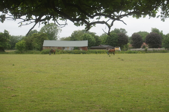
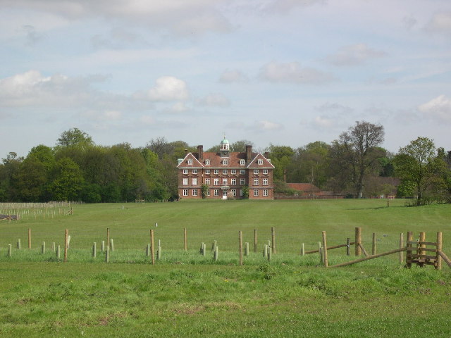
Roestock boasts a rich history, with evidence of settlements dating back to Roman times. The area has seen various developments over the years, but still retains much of its traditional charm. It is home to a mix of historic buildings, including a number of attractive thatched cottages, as well as newer residential properties.

Although Roestock is primarily residential, it benefits from its proximity to nearby amenities and attractions. The village is well-connected, with good transport links to St Albans and London, making it an ideal location for commuters. There are also several schools and healthcare facilities in the surrounding area, providing convenience for families.

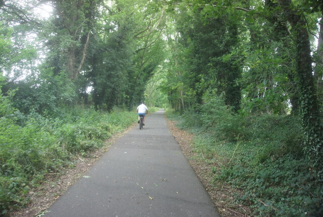
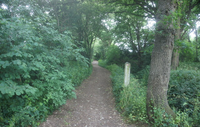
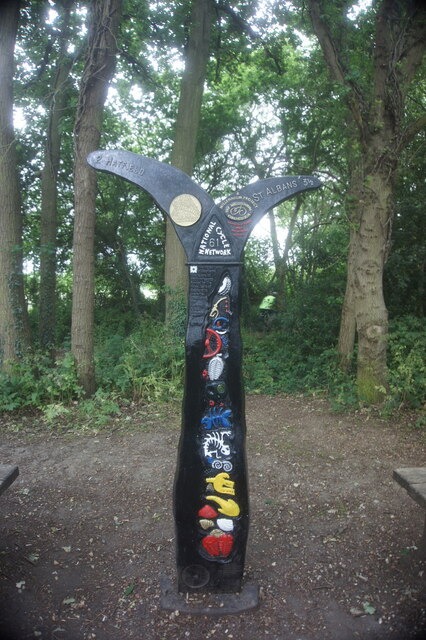
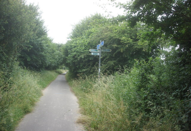
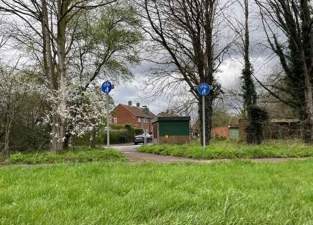
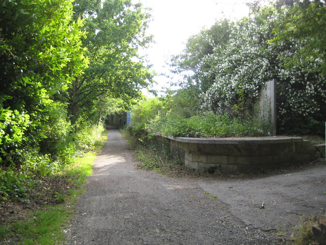
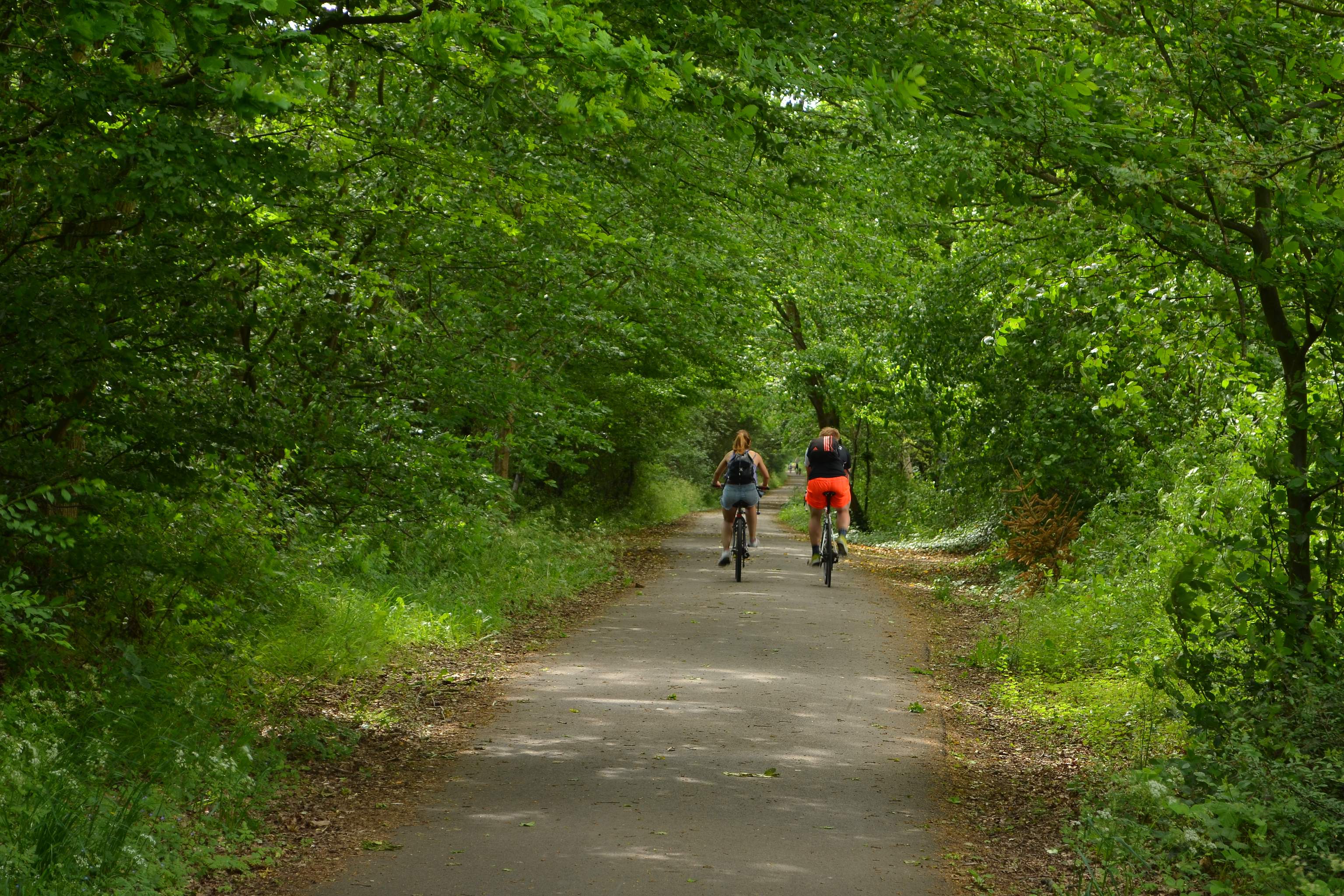
For outdoor enthusiasts, Roestock offers ample opportunities for exploration. The village is surrounded by beautiful countryside, with numerous walking trails and nature reserves nearby. Residents can enjoy peaceful strolls, cycling, or simply taking in the scenic views.

Overall, Roestock is a charming village with a close-knit community and a peaceful countryside setting, making it an attractive place to live for those seeking a tranquil lifestyle.

If you have any feedback on the listing, please let us know in the comments section below.

Roestock Images

Images are sourced within 2km of 51.736843/-0.25115212 or Grid Reference TL2005. Thanks to Geograph Open Source API. All images are credited.

St Alban Way towards St Albans
Building at Nast Hyde Farm
Byway #51 from St Alban Way
National Cycle Network signpost On St Alban Way.
National Cycle Network signpost
On St Alban Way.
St Alban Way towards St Albans
Cycle path towards Sleapcross Gardens
Byway towards Ellenbrook
The Crooked Billet Pub Beer Garden A place where children play and adults drink seemingly in their separate spheres. A shot in black and white seemed to accentuate the separation of these two worlds.
The Crooked Billet Pub Beer Garden
A place where children play and adults drink seemingly in their separate spheres. A shot in black and white seemed to accentuate the separation of these two worlds.
Tyttenhanger House This grade 1 listed building, now converted to offices, sits in Tyttenhanger Park, which occupied most of the square
Tyttenhanger House
This grade 1 listed building, now converted to offices, sits in Tyttenhanger Park, which occupied most of the square
Bowmans Lakes This is one of several lakes used for wash water by Lafarge Sand and Gravel. It is a haven for water birds and fishermen
Bowmans Lakes
This is one of several lakes used for wash water by Lafarge Sand and Gravel. It is a haven for water birds and fishermen
St Marks Church Colney Heath Wonder if the congregation stays at home and logs on to the sermons
St Marks Church Colney Heath
Wonder if the congregation stays at home and logs on to the sermons
River Colne at Colney Heath I often wonder which Colne came first in the naming 
stages
River Colne at Colney Heath
I often wonder which Colne came first in the naming stages
Pumping Station at Colney Heath This is a pumping station extracting water from one or more borehole.
Round the back of the site the North London Society of Model Engineers has a model railway system open on Summer Sunday afternoons.
Pumping Station at Colney Heath
This is a pumping station extracting water from one or more borehole. Round the back of the site the North London Society of Model Engineers has a model railway system open on Summer Sunday afternoons.
Tyttenhanger: Gravel pit workings Flooded gravel pits to the left with a conveyor belt bringing material into a central batching plant from more distant active workings, the River Colne to the right, and Tyttenhanger Park beyond the trees in the distance, viewed looking southwards.
Tyttenhanger: Gravel pit workings
Flooded gravel pits to the left with a conveyor belt bringing material into a central batching plant from more distant active workings, the River Colne to the right, and Tyttenhanger Park beyond the trees in the distance, viewed looking southwards.
River Colne near Colney Heath Viewed looking downstream from the Church Lane road bridge.
River Colne near Colney Heath
Viewed looking downstream from the Church Lane road bridge.
Colney Heath: Wistlea Crescent On the north side of Colney Heath High Street.
Colney Heath: Wistlea Crescent
On the north side of Colney Heath High Street.
Smallford: The Alban Way The Alban Way, or the Smallford Trail as it is described on several maps, follows the trackbed of the former Hatfield and St Albans Railway. The railway was completed in 1865 and was taken over by the Great Northern Railway in 1883. It was a very early casualty of British Railways' days being closed to passenger traffic in 1951. Freight services lingered on until 1964. The trackbed also now forms a section of National Cycle Network Route 61.
Smallford: The Alban Way
The Alban Way, or the Smallford Trail as it is described on several maps, follows the trackbed of the former Hatfield and St Albans Railway. The railway was completed in 1865 and was taken over by the Great Northern Railway in 1883. It was a very early casualty of British Railways' days being closed to passenger traffic in 1951. Freight services lingered on until 1964. The trackbed also now forms a section of National Cycle Network Route 61.
Smallford: Former railway station This is a reverse view to Barry's <a href="https://www.geograph.org.uk/photo/111447">TL1907 : Alban Way, the old Smallford Station platform.</a> the description of which gives the history of the station. It supported a single siding with a cattle pen, but from the time it was opened right up to the 1930s and the arrival of the nurseries it was an isolated location with no houses nearby.
Smallford: Former railway station
This is a reverse view to Barry's TL1907 : Alban Way, the old Smallford Station platform. the description of which gives the history of the station. It supported a single siding with a cattle pen, but from the time it was opened right up to the 1930s and the arrival of the nurseries it was an isolated location with no houses nearby.
Show me another place!

Roestock is located at Grid Ref: TL2005 (Lat: 51.736843, Lng: -0.25115212)

Administrative County: Hertfordshire

District: St. Albans

Police Authority: Hertfordshire

What 3 Words

///leap.prompting.entire. Near Hatfield, Hertfordshire

Related Wikis

Colney Heath Mill

Colney Heath Mill is a Grade II listed smock mill at Colney Heath, Hertfordshire, England, which has been converted to residential accommodation. ��2...

Colney Heath

Colney Heath is a large village in Hertfordshire, England. The village became a civil parish in 1947 when the St. Peter Rural parish was split to form...

Colney Heath Local Nature Reserve

Colney Heath Local Nature Reserve is a 22.5 hectare Local Nature Reserve in Colney Heath in Hertfordshire. It is owned and managed by Colney Heath Parish...

Colney Heath F.C.

Colney Heath Football Club is a semi-professional football club based in Colney Heath, Hertfordshire, England. Affiliated to the Hertfordshire County Football...

Sleapshyde

Sleapshyde is a small village in Hertfordshire, United Kingdom. It is located between Hatfield and St Albans, to the south of Smallford and to the north...

North Mymms

North Mymms is a civil parish in the English county of Hertfordshire. At the 2011 Census the civil parish had a population of 8,921.The village itself...
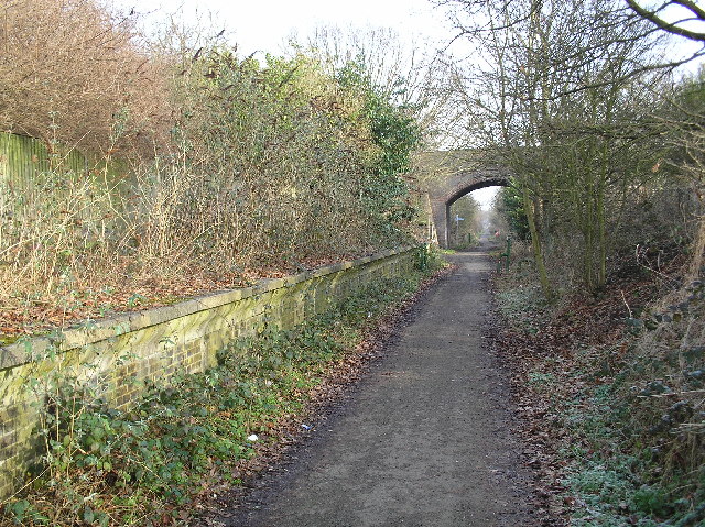
Alban Way

The Alban Way is a traffic free multi-user route along a former railway line in Hertfordshire, England, that has been constructed along the route of the...

Smallford railway station

Smallford railway station was a station on the former St Albans Branch Line in the UK. The station opened as Springfield in 1866, and was renamed in 1879...

Nearby Amenities

Located within 500m of 51.736843,-0.25115212
Colney Heath
Place: village
Population: 5962
Wikidata: Q610285
Wikipedia: en:Colney Heath
Lat/Long: 51.7377529/-0.2529524
Give Way
Direction: forward
Lat/Long: 51.7373188/-0.2449675
Noexit: yes
Lat/Long: 51.7370686/-0.2518663
Bus Stop
Roestock Lane
Bench: no
Bin: no
Bus: yes
Lit: yes
Naptan AtcoCode: 210021505973
Naptan Bearing: NE
Naptan CommonName: Roestock Lane
Naptan Crossing: High Street
Naptan Indicator: NE-bound
Naptan Landmark: High Street
Naptan NaptanCode: hrtawgmw
Naptan PlusbusZoneRef: HATFILD;STALBCY
Naptan ShortCommonName: NA
Naptan Street: Roestock Lane
Naptan Verified: no
Public Transport: platform
Shelter: no
Source: naptan_import
Tactile Paving: no
Lat/Long: 51.7382871/-0.2530788
Bus Stop
Hall Gardens
Bus: yes
Naptan AtcoCode: 210021505975
Naptan Bearing: SE
Naptan CommonName: Hall Gardens
Naptan Crossing: Admirals Close
Naptan Indicator: S-bound
Naptan Landmark: Admirals Close
Naptan NaptanCode: hrtawgpa
Naptan PlusbusZoneRef: HATFILD;STALBCY
Naptan ShortCommonName: NA
Naptan Street: Hall Gardens
Naptan Verified: no
Public Transport: platform
Source: naptan_import
Lat/Long: 51.7376187/-0.249252
Bus Stop
Queens Head PH
Bench: no
Bus: yes
Lit: yes
Naptan AtcoCode: 210021505980
Naptan Bearing: SE
Naptan CommonName: Queens Head PH
Naptan Crossing: Roestock Lane
Naptan Indicator: opp
Naptan Landmark: Roestock Lane
Naptan NaptanCode: hrtawgpd
Naptan PlusbusZoneRef: HATFILD;STALBCY
Naptan ShortCommonName: NA
Naptan Street: Tollgate Road
Naptan Verified: no
Public Transport: platform
Shelter: yes
Source: naptan_import
Tactile Paving: no
Lat/Long: 51.7375022/-0.2529063
Bus Stop
Fellowes Lane
Bus: yes
Local Ref: NR
Naptan AtcoCode: 210021506000
Naptan Bearing: SE
Naptan CommonName: Fellowes Lane
Naptan Crossing: Fellowes Lane
Naptan Indicator: nr
Naptan Landmark: Fellowes Lane
Naptan NaptanCode: hrtawgda
Naptan PlusbusZoneRef: HATFILD;STALBCY
Naptan ShortCommonName: NA
Naptan Street: Tollgate Road
Naptan Verified: no
Public Transport: platform
Source: naptan_import
Lat/Long: 51.7365552/-0.2496986
Bus Stop
Fellowes Lane
Bus: yes
Naptan AtcoCode: 210021506200
Naptan Bearing: NW
Naptan CommonName: Fellowes Lane
Naptan Crossing: opp Fellowes Lane
Naptan Indicator: opp
Naptan Landmark: opp Fellowes Lane
Naptan NaptanCode: hrtawgdg
Naptan PlusbusZoneRef: HATFILD;STALBCY
Naptan ShortCommonName: NA
Naptan Street: Tollgate Road
Naptan Verified: no
Public Transport: platform
Source: naptan_import
Lat/Long: 51.7365816/-0.2502624
Bus Stop
Queens Head PH
Bench: yes
Bin: yes
Bus: yes
Lit: yes
Local Ref: NR
Naptan AtcoCode: 210021506220
Naptan Bearing: NW
Naptan CommonName: Queens Head PH
Naptan Crossing: opp The Cock PH
Naptan Indicator: nr
Naptan Landmark: opp The Cock PH
Naptan NaptanCode: hrtawgdp
Naptan PlusbusZoneRef: HATFILD;STALBCY
Naptan ShortCommonName: NA
Naptan Street: High Street
Naptan Verified: no
Public Transport: platform
Shelter: yes
Source: naptan_import
Tactile Paving: yes
Lat/Long: 51.7383514/-0.2549716
Ford: yes
Lat/Long: 51.7375254/-0.255935
Generator Method: wind_turbine
Generator Source: wind
Generator Type: horizontal_axis
Power: generator
Lat/Long: 51.7399627/-0.2549165
Man Made: windmill
Lat/Long: 51.7348727/-0.2568641
Post Box
Brand: Royal Mail
Brand Wikidata: Q638098
Collection Times: Mo-Fr 17:00, Sa 12:00
Drive Through: no
Operator: Royal Mail
Operator Wikidata: Q638098
Post Box Type: pillar
Ref: AL4 58
Royal Cypher: GVIR
Royal Cypher Wikidata: Q33102169
Lat/Long: 51.7380595/-0.252986
Post Box
Operator: Royal Mail
Operator Wikidata: Q638098
Post Box Type: pillar
Ref: AL4 338D
Royal Cypher: EIIR
Royal Cypher Wikidata: Q33102113
Lat/Long: 51.7370743/-0.2498332
Coal tax post
Historic: boundary_stone
Inscription: 24 & 25 VICT CAP 42
Material: iron
Note: Coal tax boundary marker 34
Lat/Long: 51.7377691/-0.2542198
Coal tax post
Historic: boundary_stone
Inscription: 14 ^ 15 VICT CAP 146
Material: iron
Note: Coal tax boundary marker 35
Lat/Long: 51.7381134/-0.2549443
Waste Basket
Waste: trash
Lat/Long: 51.7381821/-0.2530342
Waste Basket
Waste: trash
Lat/Long: 51.7382403/-0.2547656
Waste Basket
Waste: trash
Lat/Long: 51.738364/-0.2550861
Crossing
Crossing: unmarked
Crossing Island: no
Crossing Markings: no
Tactile Paving: yes
Lat/Long: 51.7378031/-0.2540032
Crossing
Crossing: unmarked
Crossing Island: no
Crossing Markings: no
Tactile Paving: yes
Lat/Long: 51.7377743/-0.2535855
Board Type: history
Information: board
Tourism: information
Lat/Long: 51.7366716/-0.2565784
Bench
Backrest: yes
Lat/Long: 51.737323/-0.2562266
Waste Basket
Lat/Long: 51.7366465/-0.2564087
Crossing
Crossing: marked
Crossing Island: no
Crossing Markings: zebra
Tactile Paving: yes
Traffic Calming: table
Lat/Long: 51.7381496/-0.2543621
Direction: 200
Generator Method: photovoltaic
Generator Output Electricity: yes
Generator Solar Modules: 8
Generator Source: solar
Generator Type: solar_photovoltaic_panel
Location: roof
Power: generator
Lat/Long: 51.7365333/-0.2493647
Direction: 200
Generator Method: photovoltaic
Generator Output Electricity: yes
Generator Solar Modules: 8
Generator Source: solar
Generator Type: solar_photovoltaic_panel
Location: roof
Power: generator
Lat/Long: 51.7361947/-0.2495474
Direction: 200
Generator Method: photovoltaic
Generator Output Electricity: yes
Generator Solar Modules: 12
Generator Source: solar
Generator Type: solar_photovoltaic_panel
Location: roof
Power: generator
Lat/Long: 51.7358972/-0.2484202
Direction: 200
Generator Method: photovoltaic
Generator Output Electricity: yes
Generator Solar Modules: 10
Generator Source: solar
Generator Type: solar_photovoltaic_panel
Location: roof
Power: generator
Lat/Long: 51.7361847/-0.2477026
Direction: 200
Generator Method: photovoltaic
Generator Output Electricity: yes
Generator Solar Modules: 16
Generator Source: solar
Generator Type: solar_photovoltaic_panel
Location: roof
Power: generator
Lat/Long: 51.7357401/-0.2476992
Direction: 200
Generator Method: photovoltaic
Generator Output Electricity: yes
Generator Solar Modules: 7
Generator Source: solar
Generator Type: solar_photovoltaic_panel
Location: roof
Power: generator
Lat/Long: 51.7359449/-0.2466339
Direction: 210
Generator Method: photovoltaic
Generator Output Electricity: yes
Generator Solar Modules: 80
Generator Source: solar
Generator Type: solar_photovoltaic_panel
Location: roof
Power: generator
Lat/Long: 51.7350471/-0.2455367
Direction: 210
Generator Method: photovoltaic
Generator Output Electricity: yes
Generator Solar Modules: 80
Generator Source: solar
Generator Type: solar_photovoltaic_panel
Location: roof
Power: generator
Lat/Long: 51.7349094/-0.2456741
Direction: 205
Generator Method: photovoltaic
Generator Output Electricity: yes
Generator Solar Modules: 16
Generator Source: solar
Generator Type: solar_photovoltaic_panel
Location: roof
Power: generator
Lat/Long: 51.7365045/-0.2469864
Direction: 120
Generator Method: photovoltaic
Generator Output Electricity: yes
Generator Solar Modules: 16
Generator Source: solar
Generator Type: solar_photovoltaic_panel
Location: roof
Power: generator
Lat/Long: 51.7365054/-0.2467218
Direction: 155
Generator Method: photovoltaic
Generator Output Electricity: yes
Generator Solar Modules: 8
Generator Source: solar
Generator Type: solar_photovoltaic_panel
Location: roof
Power: generator
Lat/Long: 51.7378098/-0.2482826
Direction: 145
Generator Method: photovoltaic
Generator Output Electricity: yes
Generator Solar Modules: 11
Generator Source: solar
Generator Type: solar_photovoltaic_panel
Location: roof
Power: generator
Lat/Long: 51.7381149/-0.2499927
Bus Stop
Hall Gardens
Bus: yes
Public Transport: platform
Lat/Long: 51.7375975/-0.2493475
Street Lamp
Communication Mobile Phone: yes
Lamp Mount: bent_mast
Lamp Type: electric
Man Made: mast
Support: pole
Tower Construction: freestanding
Tower Type: communication
Lat/Long: 51.7377184/-0.2536221
Marker: aerial
Substance: oil
Utility: oil
Lat/Long: 51.7373784/-0.2555277
Marker: post
Substance: oil
Utility: oil
Lat/Long: 51.7374847/-0.2556239
Turning Circle
Lat/Long: 51.7370927/-0.2519394
Give Way
Direction: backward
Lat/Long: 51.7372012/-0.244838
Give Way
Direction: forward
Lat/Long: 51.7372037/-0.2449257
Give Way
Direction: backward
Lat/Long: 51.7372433/-0.2450855
Crossing
Crossing: unmarked
Lat/Long: 51.7356889/-0.2467308
Crossing
Crossing: unmarked
Lat/Long: 51.7359396/-0.2474363
Barrier: kerb
Kerb: regular
Lat/Long: 51.7375272/-0.2530375
Crossing
Crossing: unmarked
Lat/Long: 51.7373397/-0.2526398
Crossing
Crossing: unmarked
Crossing Island: no
Tactile Paving: yes
Lat/Long: 51.7380319/-0.2535338
Colney Cuts
Addr Street: High Street
Shop: hairdresser
Lat/Long: 51.7383204/-0.2544028
Barrier: motorcycle_barrier
Lat/Long: 51.7386024/-0.2553845
BHG Colney Heath
Phone: 01727827000
Second Hand: yes
Shop: car
Website: https://www.bhgcolneyheath.co.uk/
Lat/Long: 51.7387394/-0.2556507
Post Office
Colney Heath News
Addr Housenumber: 13
Addr Street: High Street
Lat/Long: 51.7383279/-0.2552424
Fast Food
The Rice
Addr Housenumber: 11
Addr Street: High Street
Cuisine: indian
Delivery: yes
Phone: 01727821171
Takeaway: yes
Website: https://www.thericeindian.co.uk/
Lat/Long: 51.7383188/-0.2552028
Colney Heath News
Addr Housenumber: 13
Addr Street: High Street
Phone: 01727828144
Shop: convenience
Lat/Long: 51.7383329/-0.2552705
City Brickwork
Addr Street: High Street
Office: company
Phone: 01727747910
Website: https://www.citybrickwork.co.uk/
Lat/Long: 51.7383478/-0.2553349
The data included in this document is from www.openstreetmap.org. The data is made available under ODbL.

Have you been to Roestock?

Leave your review of Roestock below (or comments, questions and feedback).