Clump of Trees Wood

Wood, Forest in Middlesex

England

Clump of Trees Wood

From Deacons Hill A line of hills lies to the north of London, of which Deacons Hill is one. This has long presented a challenge to those building transport links to the north of the capital. The Roman Road, Watling Street skirts Deacon Hill a mile to the west; the Midland main line tunnels directly underneath and the M1 approaches beside the railway before turning sharply west and crossing at the point chosen by the Romans.
From Deacons Hill Credit: David Squire

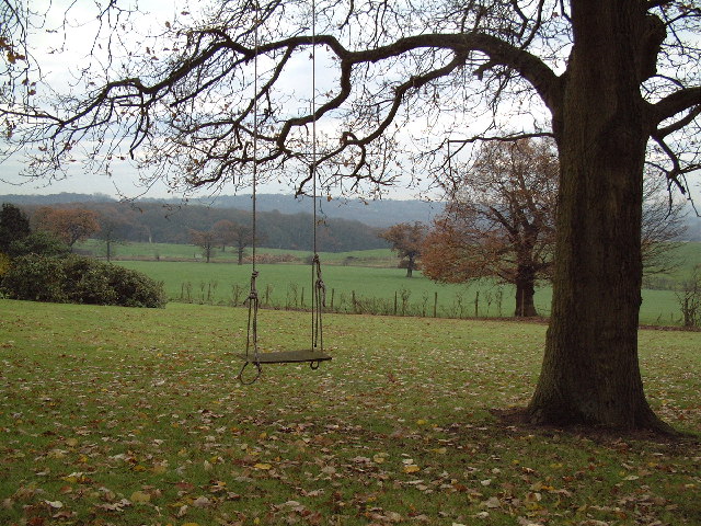
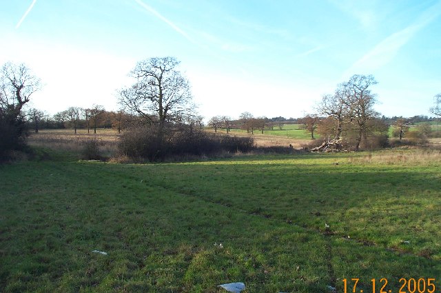
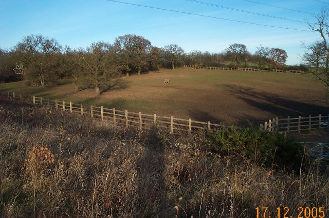
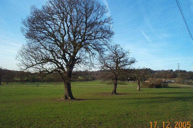
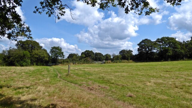
Clump of Trees Wood, located in Middlesex, is a picturesque forest that encompasses an area of approximately 100 acres. This woodland is renowned for its dense and diverse collection of trees, offering a tranquil environment for visitors to explore and appreciate the beauty of nature.

The wood is primarily composed of deciduous trees, including oak, beech, and birch, which create a vibrant canopy during the spring and summer months. It is also home to a variety of plant species, such as bluebells, wild garlic, and ferns, adding to the enchanting atmosphere and providing an ideal habitat for numerous wildlife species.

Walking through Clump of Trees Wood, visitors can enjoy a network of well-maintained trails that wind their way through the forest, allowing for easy exploration of the different sections. The paths are suitable for both casual strolls and more vigorous hikes, catering to a range of fitness levels.

The wood is a popular destination for nature enthusiasts, families, and dog walkers, offering a peaceful retreat from the bustling urban environment of Middlesex. It provides an opportunity to reconnect with nature, observe wildlife, and enjoy the therapeutic effects of spending time in a natural setting.

Clump of Trees Wood is easily accessible, with nearby parking facilities and public transportation options. It is open year-round, with the changing seasons offering unique experiences, from the vibrant colors of autumn to the delicate blossoms of spring. Whether it's a leisurely walk, a picnic, or simply a moment of solitude, this forest provides a sanctuary for all who visit.

If you have any feedback on the listing, please let us know in the comments section below.

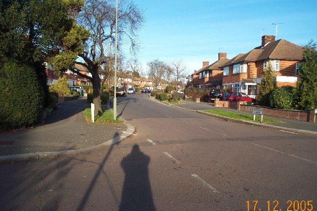
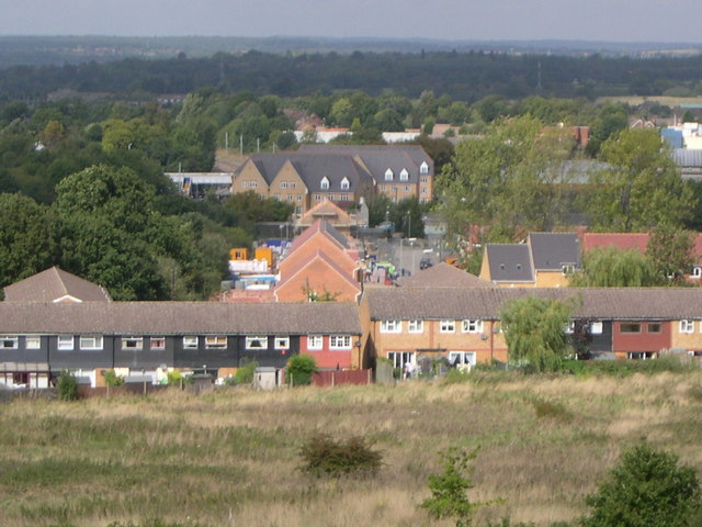
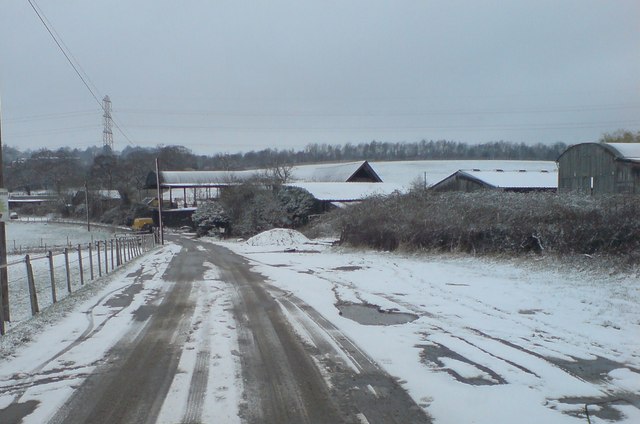
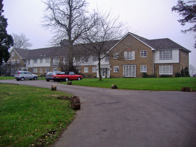
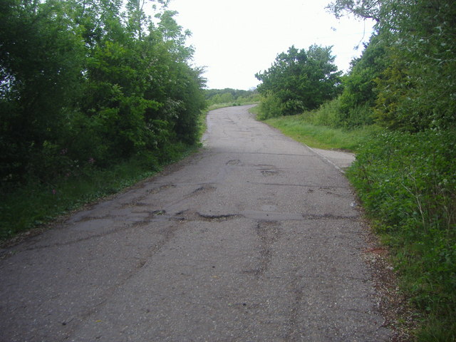
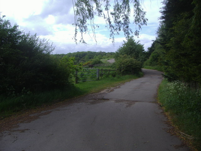
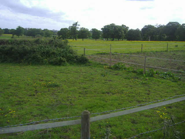
Clump of Trees Wood Images

Images are sourced within 2km of 51.636511/-0.2567773 or Grid Reference TQ2094. Thanks to Geograph Open Source API. All images are credited.

From Deacons Hill A line of hills lies to the north of London, of which Deacons Hill is one. This has long presented a challenge to those building transport links to the north of the capital. The Roman Road, Watling Street skirts Deacon Hill a mile to the west; the Midland main line tunnels directly underneath and the M1 approaches beside the railway before turning sharply west and crossing at the point chosen by the Romans.
From Deacons Hill
A line of hills lies to the north of London, of which Deacons Hill is one. This has long presented a challenge to those building transport links to the north of the capital. The Roman Road, Watling Street skirts Deacon Hill a mile to the west; the Midland main line tunnels directly underneath and the M1 approaches beside the railway before turning sharply west and crossing at the point chosen by the Romans.
Edgware: Meadfield Viewed looking northwards.
Edgware: Meadfield
Viewed looking northwards.
Edgwarebury: Farmland The very northern edge of built-up London here, where the houses end and the countryside begins. This view was taken looking north westwards from the end of Warrens Shawe Lane. There is a large stream flowing in the bottom of the valley which the Ordnance Survey, for some reason, ignores on both the 1:50,000 and 1:25,000 scale maps.
Edgwarebury: Farmland
The very northern edge of built-up London here, where the houses end and the countryside begins. This view was taken looking north westwards from the end of Warrens Shawe Lane. There is a large stream flowing in the bottom of the valley which the Ordnance Survey, for some reason, ignores on both the 1:50,000 and 1:25,000 scale maps.
Edgwarebury: Pasture Viewed looking north eastwards, the idyllic rural scene is somewhat marred by the noise from the M1 Motorway just beyond the trees at the top of the hill.
Edgwarebury: Pasture
Viewed looking north eastwards, the idyllic rural scene is somewhat marred by the noise from the M1 Motorway just beyond the trees at the top of the hill.
Edgware: Francklyn Gardens Viewed looking northwards from the junction with Parsons Grove. Photography by Darth Vader.
Edgware: Francklyn Gardens
Viewed looking northwards from the junction with Parsons Grove. Photography by Darth Vader.
Edgwarebury: Pasture Viewed looking north westwards from Edgwarebury Lane.
Edgwarebury: Pasture
Viewed looking north westwards from Edgwarebury Lane.
View from Woodcock Hill Academy Court and Footbridge at Elstree & Borehamwood Station in centre. Byron Avenue towards front of picture. The buildings in the middle, going away from Byron Avenue towards Academy Court, are on the site of the former Fire Research Station which moved to the Building Research Establishment at Garston in 1993. Taken September 2004.
View from Woodcock Hill
Academy Court and Footbridge at Elstree & Borehamwood Station in centre. Byron Avenue towards front of picture. The buildings in the middle, going away from Byron Avenue towards Academy Court, are on the site of the former Fire Research Station which moved to the Building Research Establishment at Garston in 1993. Taken September 2004.
Bury Farm
Bury Farm
St Andrew, Lynford Gardens, Edgware
St Andrew, Lynford Gardens, Edgware - East end
St Andrew, Lynford Gardens, Edgware - Doorway
Deacons Heights, Elstree Modern development along Barnet Lane
Deacons Heights, Elstree
Modern development along Barnet Lane
Edgwarebury Lane
Edgwarebury Lane
Edgwarebury Lane Beyond the houses the road becomes a private farm track
Edgwarebury Lane
Beyond the houses the road becomes a private farm track
Fields by Edgwarebury Lane
Old pole with new sign, Wolmer Gardens The striped pole is in very good condition, and the sign looks like it was only replaced recently although would need to discover for certain whether the previous one was pre-Worboys.
Old pole with new sign, Wolmer Gardens
The striped pole is in very good condition, and the sign looks like it was only replaced recently although would need to discover for certain whether the previous one was pre-Worboys.
On the London Loop near Brent Lodge Farm
Show me another place!

Clump of Trees Wood is located at Grid Ref: TQ2094 (Lat: 51.636511, Lng: -0.2567773)

Unitary Authority: Barnet

Police Authority: Metropolitan

What 3 Words

///draw.home.candy. Near Borehamwood, Hertfordshire

Related Wikis

Moat Mount Open Space

Moat Mount Open Space is a 110-hectare park and nature reserve in Mill Hill in the London Borough of Barnet. It is part of Moat Mount Open Space and Mote...
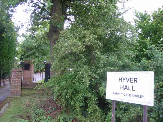
Hyver Hall

Hyver Hall is a grade II listed house in Barnet Road, to the west of Barnet Gate and Arkley, in the London Borough of Barnet.It was purchased by Harpinder...

Scratchwood

Scratchwood is an extensive, mainly wooded, country park in Mill Hill in the London Borough of Barnet. The 57-hectare site is a Site of Metropolitan Importance...

London Gateway services

London Gateway services is the southernmost motorway service station on the M1 motorway – between Junctions 2 and 4 – north of London, England. It is between...

Barnet Gate Wood

Barnet Gate Wood is a public open space in Barnet Gate, Barnet, London. It is owned and managed by the London Borough of Barnet, and is part of the Watling...

Mill Hill County High School

Mill Hill County High School is a large secondary school with academy status located in Mill Hill, London, England. It was the first comprehensive school...

NW London F.C.

NW London Football Club is a football club based in Arkley, London, England. They are currently members of the Eastern Counties League Division One South...

Hadley F.C.

Hadley Football Club is a football club based in Arkley, Barnet, England. Affiliated to the Hertfordshire County Football Association, they are currently...

Nearby Amenities

Located within 500m of 51.636511,-0.2567773
Bus Stop
Scratchwood Park
Bench: no
Bin: yes
Bus: yes
Check Date Shelter: 2022-06-20
Lit: yes
Local Ref: D
Naptan AtcoCode: 490011961N
Naptan Bearing: N
Naptan CommonName: Scratchwood Park
Naptan Indicator: Stop D
Naptan Street: BARNET WAY
Naptan Verified: no
Public Transport: platform
Shelter: no
Tactile Paving: no
Lat/Long: 51.6398286/-0.2562515
Bus Stop
Scratchwood Park
Bench: yes
Bin: no
Bus: yes
Check Date Shelter: 2022-06-20
Local Ref: H
Naptan AtcoCode: 490011961S
Naptan Bearing: S
Naptan CommonName: Scratchwood Park
Naptan Indicator: Stop H
Naptan Street: BARNET WAY
Naptan Verified: no
Public Transport: platform
Ref: 56985
Shelter: yes
Source Ref: naptan
Tactile Paving: no
Lat/Long: 51.6383803/-0.2551926
Arkley Park
Place: locality
Lat/Long: 51.6383774/-0.2542827
Thistle Wood
Place: locality
Lat/Long: 51.6385403/-0.2591203
Target Wood
Place: locality
Lat/Long: 51.6349312/-0.2519738
Clump Of Trees Wood
Place: locality
Lat/Long: 51.6361172/-0.2558576
Access: customers
Leisure: fitness_station
Sport: fitness
Lat/Long: 51.6346632/-0.2518731
The data included in this document is from www.openstreetmap.org. The data is made available under ODbL.

Have you been to Clump of Trees Wood?

Leave your review of Clump of Trees Wood below (or comments, questions and feedback).