Boys Hill Wood

Wood, Forest in Middlesex

England

Boys Hill Wood

Elstree & Borehamwood railway station Elstree & Borehamwood is a railway station on the "Thameslink" route between London, St. Albans and Bedford.  It is served by suburban trains.  The railway is electrified using overhead cables.

This image was taken on a bright and sunny early November day.  At this time of year, the sun is low in the sky therefore shadows were long.
Elstree & Borehamwood railway station Credit: Malc McDonald

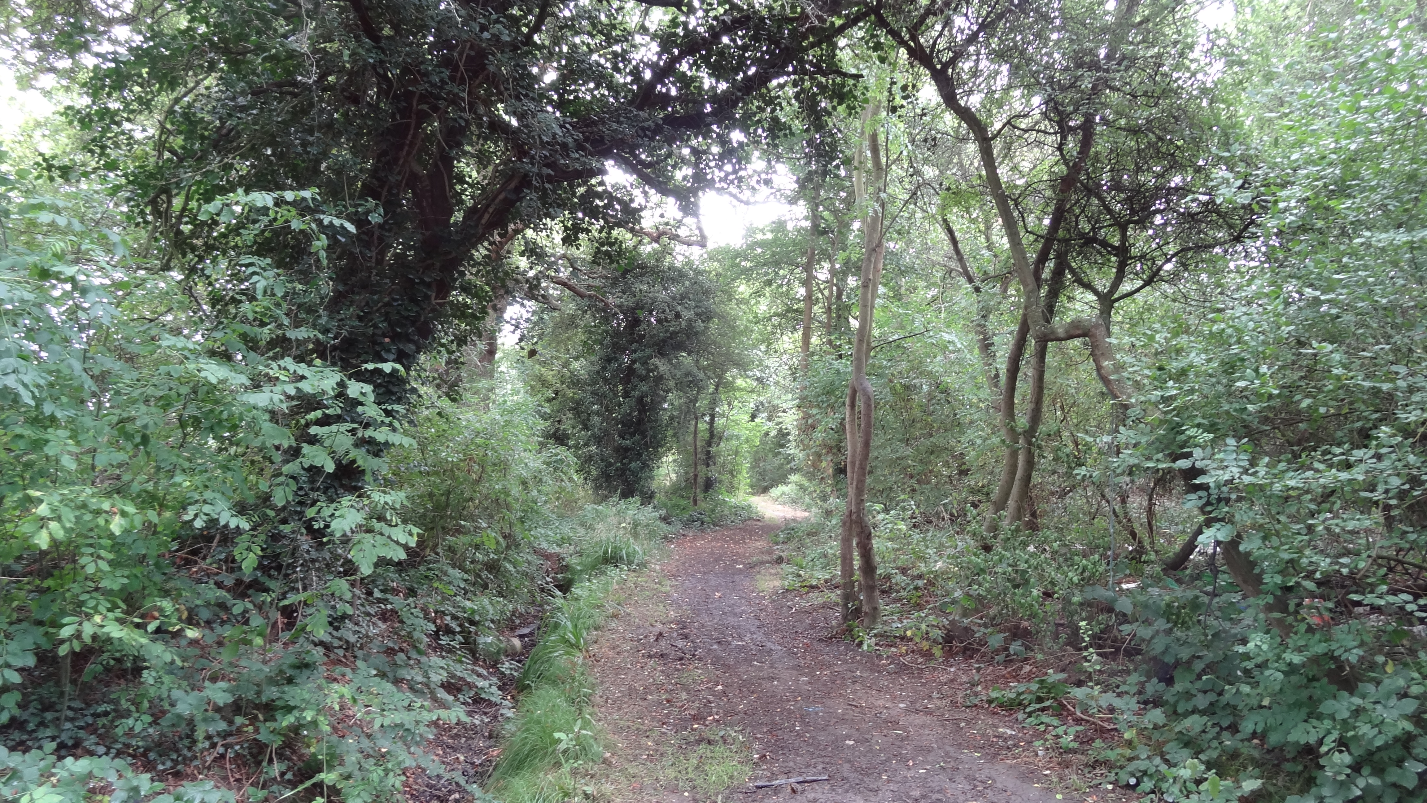
Boys Hill Wood is a picturesque woodland located in Middlesex, England. Covering an area of approximately 50 acres, this ancient woodland is a haven for nature enthusiasts and those seeking tranquility away from the bustling city life.

The wood is predominantly composed of deciduous trees, including oak, beech, and birch, creating a rich and diverse ecosystem. The dense canopy of foliage provides a sheltered habitat for a wide range of flora and fauna, making it an ideal spot for birdwatching and wildlife spotting. Visitors may be lucky enough to spot species such as woodpeckers, tawny owls, and various butterflies that inhabit the area.

The woodland is crisscrossed by a network of footpaths and trails, allowing visitors to explore the beauty of the wood at their leisure. The paths wind through the ancient trees, taking visitors past tranquil ponds, meandering streams, and open clearings, perfect for picnics or simply taking a moment to appreciate the natural surroundings.

Boys Hill Wood holds historical significance as well. It is believed to have been part of a larger forest that once covered a significant portion of Middlesex. The wood has likely seen human presence for centuries, with evidence of ancient settlements and archaeological finds in the surrounding area.

Overall, Boys Hill Wood offers a serene escape into nature, where visitors can immerse themselves in the beauty of the woodland, reconnect with the natural world, and appreciate the rich history of the area.

If you have any feedback on the listing, please let us know in the comments section below.

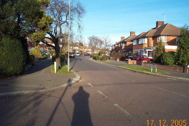
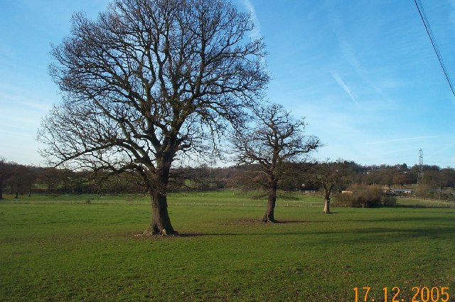
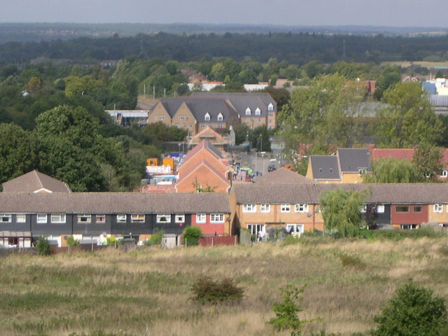
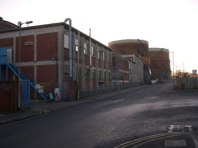
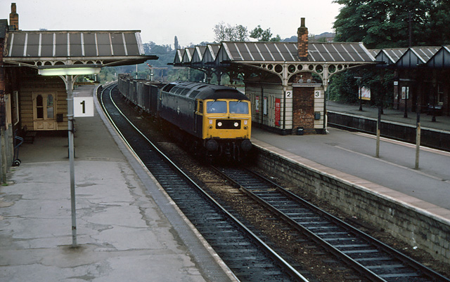
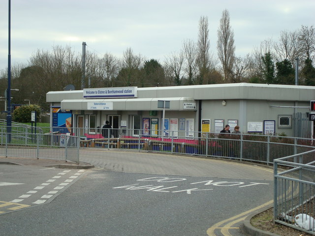
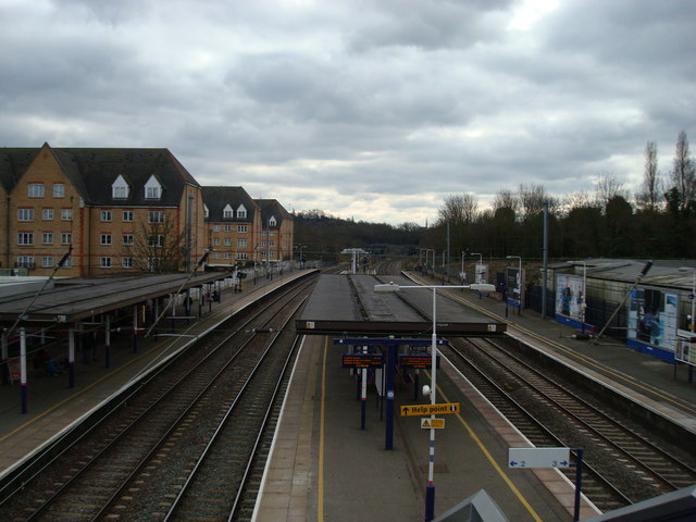
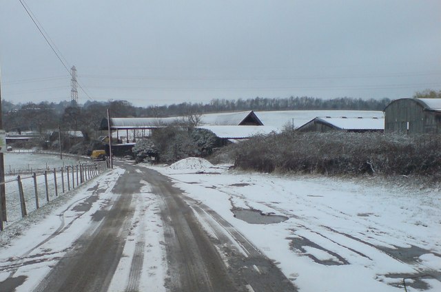
Boys Hill Wood Images

Images are sourced within 2km of 51.639296/-0.26263911 or Grid Reference TQ2094. Thanks to Geograph Open Source API. All images are credited.

Elstree & Borehamwood railway station Elstree & Borehamwood is a railway station on the "Thameslink" route between London, St. Albans and Bedford.  It is served by suburban trains.  The railway is electrified using overhead cables.

This image was taken on a bright and sunny early November day.  At this time of year, the sun is low in the sky therefore shadows were long.
Elstree & Borehamwood railway station
Elstree & Borehamwood is a railway station on the "Thameslink" route between London, St. Albans and Bedford. It is served by suburban trains. The railway is electrified using overhead cables. This image was taken on a bright and sunny early November day. At this time of year, the sun is low in the sky therefore shadows were long.
Penta Court, Borehamwood Penta Court is a mixed-use block in Borehamwood.  Part of the building is offices, but it also contains residential apartments.

This image was taken on a bright and sunny early November day.  At this time of year, the sun is low in the sky therefore shadows were long.
Penta Court, Borehamwood
Penta Court is a mixed-use block in Borehamwood. Part of the building is offices, but it also contains residential apartments. This image was taken on a bright and sunny early November day. At this time of year, the sun is low in the sky therefore shadows were long.
Mural at Borehamwood This is just outside Elstree & Borehamwood station and relates to the fact that both Elstree and Borehamwood have a long history linking them to the British film industry.
Mural at Borehamwood
This is just outside Elstree & Borehamwood station and relates to the fact that both Elstree and Borehamwood have a long history linking them to the British film industry.
Winter in Elstree Overnight dusting in an affluent area of Elstree.
Winter in Elstree
Overnight dusting in an affluent area of Elstree.
From Deacons Hill A line of hills lies to the north of London, of which Deacons Hill is one. This has long presented a challenge to those building transport links to the north of the capital. The Roman Road, Watling Street skirts Deacon Hill a mile to the west; the Midland main line tunnels directly underneath and the M1 approaches beside the railway before turning sharply west and crossing at the point chosen by the Romans.
From Deacons Hill
A line of hills lies to the north of London, of which Deacons Hill is one. This has long presented a challenge to those building transport links to the north of the capital. The Roman Road, Watling Street skirts Deacon Hill a mile to the west; the Midland main line tunnels directly underneath and the M1 approaches beside the railway before turning sharply west and crossing at the point chosen by the Romans.
Elstree Station A southbound train pulls into Elstree station. In the distance can be picked out the northern portals of the railway tunnels under Deacons Hill <a href="https://www.geograph.org.uk/gridref/TQ1995">TQ1995</a>.
Elstree Station
A southbound train pulls into Elstree station. In the distance can be picked out the northern portals of the railway tunnels under Deacons Hill TQ1995.
Edgware: Meadfield Viewed looking northwards.
Edgware: Meadfield
Viewed looking northwards.
Edgwarebury: Farmland The very northern edge of built-up London here, where the houses end and the countryside begins. This view was taken looking north westwards from the end of Warrens Shawe Lane. There is a large stream flowing in the bottom of the valley which the Ordnance Survey, for some reason, ignores on both the 1:50,000 and 1:25,000 scale maps.
Edgwarebury: Farmland
The very northern edge of built-up London here, where the houses end and the countryside begins. This view was taken looking north westwards from the end of Warrens Shawe Lane. There is a large stream flowing in the bottom of the valley which the Ordnance Survey, for some reason, ignores on both the 1:50,000 and 1:25,000 scale maps.
Edgwarebury: Pasture Viewed looking north eastwards, the idyllic rural scene is somewhat marred by the noise from the M1 Motorway just beyond the trees at the top of the hill.
Edgwarebury: Pasture
Viewed looking north eastwards, the idyllic rural scene is somewhat marred by the noise from the M1 Motorway just beyond the trees at the top of the hill.
Edgware: Francklyn Gardens Viewed looking northwards from the junction with Parsons Grove. Photography by Darth Vader.
Edgware: Francklyn Gardens
Viewed looking northwards from the junction with Parsons Grove. Photography by Darth Vader.
Edgwarebury: Pasture Viewed looking north westwards from Edgwarebury Lane.
Edgwarebury: Pasture
Viewed looking north westwards from Edgwarebury Lane.
View from Woodcock Hill Academy Court and Footbridge at Elstree & Borehamwood Station in centre. Byron Avenue towards front of picture. The buildings in the middle, going away from Byron Avenue towards Academy Court, are on the site of the former Fire Research Station which moved to the Building Research Establishment at Garston in 1993. Taken September 2004.
View from Woodcock Hill
Academy Court and Footbridge at Elstree & Borehamwood Station in centre. Byron Avenue towards front of picture. The buildings in the middle, going away from Byron Avenue towards Academy Court, are on the site of the former Fire Research Station which moved to the Building Research Establishment at Garston in 1993. Taken September 2004.
Borehamwood: Gate Studios from Station Road
Elstree Station Seen prior to the electrification of the midland mainline from St. Pancras.   The old Midland Railway station awnings are still in place.  A class 47 brings a freightliner train through on the slow lines.  in the distance the twin bores taking the lines under Deacon's Hill can be seen.
Elstree Station
Seen prior to the electrification of the midland mainline from St. Pancras. The old Midland Railway station awnings are still in place. A class 47 brings a freightliner train through on the slow lines. in the distance the twin bores taking the lines under Deacon's Hill can be seen.
Elstree and Borehamwood Railway Station
Bury Farm
Bury Farm
St Andrew, Lynford Gardens, Edgware
Show me another place!

Boys Hill Wood is located at Grid Ref: TQ2094 (Lat: 51.639296, Lng: -0.26263911)

Unitary Authority: Barnet

Police Authority: Metropolitan

What 3 Words

///social.fake.chain. Near Borehamwood, Hertfordshire

Related Wikis

Scratchwood

Scratchwood is an extensive, mainly wooded, country park in Mill Hill in the London Borough of Barnet. The 57-hectare site is a Site of Metropolitan Importance...
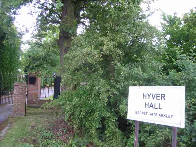
Hyver Hall

Hyver Hall is a grade II listed house in Barnet Road, to the west of Barnet Gate and Arkley, in the London Borough of Barnet.It was purchased by Harpinder...

Moat Mount Open Space

Moat Mount Open Space is a 110-hectare park and nature reserve in Mill Hill in the London Borough of Barnet. It is part of Moat Mount Open Space and Mote...

London Gateway services

London Gateway services is the southernmost motorway service station on the M1 motorway – between Junctions 2 and 4 – north of London, England. It is between...

Woodcock Hill Village Green

Woodcock Hill Village Green or Woodcock Hill Open Space is an area of grass and woodland in Borehamwood in Hertfordshire in England. It was designated...

Barnet Gate Wood

Barnet Gate Wood is a public open space in Barnet Gate, Barnet, London. It is owned and managed by the London Borough of Barnet, and is part of the Watling...

Clay Lane

Clay Lane is a one kilometre long public footpath and bridle way in Edgware in the London Borough of Barnet. It is a Site of Local Importance for Nature...

NW London F.C.

NW London Football Club is a football club based in Arkley, London, England. They are currently members of the Eastern Counties League Division One South...

Nearby Amenities

Located within 500m of 51.639296,-0.26263911
Bus Stop
Scratchwood Park
Bench: no
Bin: yes
Bus: yes
Check Date Shelter: 2022-06-20
Lit: yes
Local Ref: D
Naptan AtcoCode: 490011961N
Naptan Bearing: N
Naptan CommonName: Scratchwood Park
Naptan Indicator: Stop D
Naptan Street: BARNET WAY
Naptan Verified: no
Public Transport: platform
Shelter: no
Tactile Paving: no
Lat/Long: 51.6398286/-0.2562515
Give Way
Lat/Long: 51.6412377/-0.256157
Thistle Wood
Place: locality
Lat/Long: 51.6385403/-0.2591203
Scratch Wood
Place: locality
Lat/Long: 51.6404726/-0.2687955
Boys Hill Wood
Place: locality
Lat/Long: 51.6390876/-0.2632616
Street Lamp
Lamp Model: Industria Arc 90
Lamp Type: high_pressure_sodium
Light Count: 5
Man Made: mast
Source: Personal memory
Tower Type: lighting
Lat/Long: 51.6355672/-0.2662351
Street Lamp
Lamp Model: Industria Arc 90
Lamp Type: high_pressure_sodium
Light Count: 5
Man Made: mast
Source: Personal memory
Tower Type: lighting
Lat/Long: 51.6365186/-0.2676834
Street Lamp
Lamp Model: Industria Arc 90
Lamp Type: high_pressure_sodium
Light Count: 5
Man Made: mast
Source: Personal memory
Tower Type: lighting
Lat/Long: 51.6361961/-0.2667961
Barrier: entrance
Lat/Long: 51.6428821/-0.2655925
Speed Camera
Maxspeed: 70 mph
Maxspeed Type: GB:motorway
Lat/Long: 51.6354205/-0.2662686
The data included in this document is from www.openstreetmap.org. The data is made available under ODbL.

Have you been to Boys Hill Wood?

Leave your review of Boys Hill Wood below (or comments, questions and feedback).