Mealhogs Wood

Wood, Forest in Sussex Horsham

England

Mealhogs Wood

Scene near the south bank of the River Adur This path is often difficult to follow after heavy rain and flooding. There were no such difficulties today.
Scene near the south bank of the River Adur Credit: Ian Cunliffe

Mealhogs Wood is a charming woodland area located in the county of Sussex, England. Situated in the southern part of the county, the wood spans approximately 50 acres and is known for its natural beauty and tranquil atmosphere.

The woodland is home to a variety of tree species, including oak, beech, and ash, creating a diverse and vibrant ecosystem. The dense canopy of the trees allows for limited sunlight penetration, resulting in a cool and shaded environment, particularly during the summer months.

The forest floor is rich with vegetation, with mosses, ferns, and wildflowers covering the ground. This lush undergrowth provides a habitat for a range of wildlife, including birds, insects, and mammals. Birdwatchers can delight in the opportunity to spot species such as woodpeckers, tits, and finches, while the lucky visitor may even catch a glimpse of a deer or fox roaming through the woods.

Mealhogs Wood offers several walking trails, allowing visitors to explore the area at their own pace. These paths wind through the woodland, offering stunning views of the surrounding countryside and providing an opportunity for nature enthusiasts to observe the flora and fauna up close. The wood also features picnic areas, making it the perfect spot for a leisurely lunch amidst the peaceful surroundings.

Overall, Mealhogs Wood is a haven for nature lovers and a delightful destination for those seeking a peaceful retreat in the heart of Sussex.

If you have any feedback on the listing, please let us know in the comments section below.

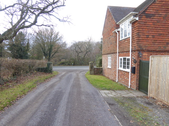
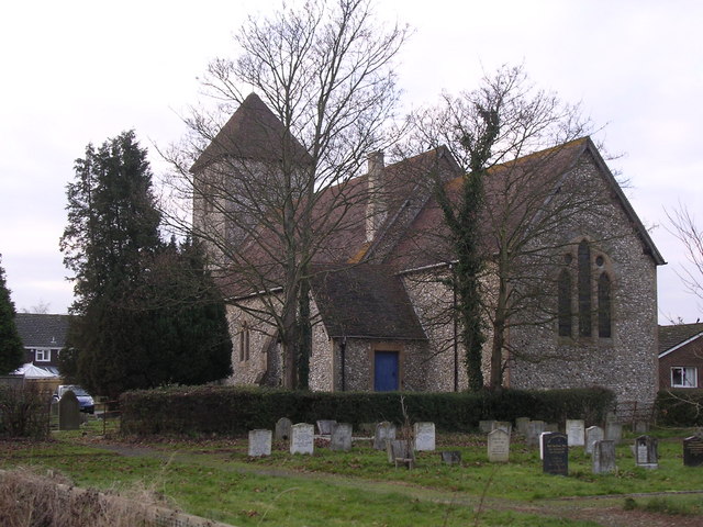
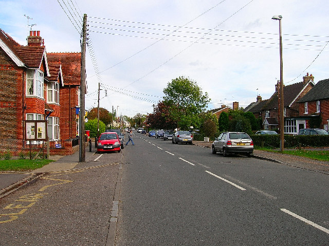
Mealhogs Wood Images

Images are sourced within 2km of 50.964741/-0.28782387 or Grid Reference TQ2019. Thanks to Geograph Open Source API. All images are credited.

Scene near the south bank of the River Adur This path is often difficult to follow after heavy rain and flooding. There were no such difficulties today.
Scene near the south bank of the River Adur
This path is often difficult to follow after heavy rain and flooding. There were no such difficulties today.
Tree overhanging the river Adur
St Hugh's Charterhouse monastery This place has huge footprint on the OS map, yet I understand that only about 25 monks live here. The spire is visible from miles away on the Downs, yet you could easily drive down the nearby A281 without even spotting it.
St Hugh's Charterhouse monastery
This place has huge footprint on the OS map, yet I understand that only about 25 monks live here. The spire is visible from miles away on the Downs, yet you could easily drive down the nearby A281 without even spotting it.
Looking south on the A281 past footpath crossing See also <a title="https://www.geograph.org.uk/photo/3228295" href="https://www.geograph.org.uk/photo/3228295">Link</a>.
Looking south on the A281 past footpath crossing
See also Link.
Weatherfox on Dragons Lane
Looking west on Dragons Lane Dragons Lane is a public bridleway.
Looking west on Dragons Lane
Dragons Lane is a public bridleway.
Dragons Farm on Dragons Lane See also <a title="https://www.geograph.org.uk/photo/1502257" href="https://www.geograph.org.uk/photo/1502257">Link</a> from 2009.
Dragons Farm on Dragons Lane
See also Link from 2009.
Looking east on Dragons Lane from footpath junction
Footpath passes through corner of field near Crateman's Farm
Signpost at footpath change of direction
Stile on footpath
Stile on footpath
Footbridge on Cowfold Stream A view the other way is at <a title="https://www.geograph.org.uk/photo/252771" href="https://www.geograph.org.uk/photo/252771">Link</a>.
Footbridge on Cowfold Stream
A view the other way is at Link.
Footpath leaves field by kissing gate
Kissing gate where footpath leaves driveway The kissing gate has replaced a stile since <a title="https://www.geograph.org.uk/photo/1901457" href="https://www.geograph.org.uk/photo/1901457">Link</a>.
Kissing gate where footpath leaves driveway
The kissing gate has replaced a stile since Link.
Footpath heads west by Gratwicke Lodge The A281 is ahead.  see also <a title="https://www.geograph.org.uk/photo/1275594" href="https://www.geograph.org.uk/photo/1275594">Link</a>.
Footpath heads west by Gratwicke Lodge
The A281 is ahead. see also Link.
Looking south on the A281 from bus stop
Royal Mail box at the end of a footpath on the A281
Footpath goes west from the A281
Show me another place!

Mealhogs Wood is located at Grid Ref: TQ2019 (Lat: 50.964741, Lng: -0.28782387)

Administrative County: West Sussex

District: Horsham

Police Authority: Sussex

What 3 Words

///deeper.motivations.breakfast. Near Partridge Green, West Sussex

Related Wikis

Henfield (electoral division)

Henfield is an electoral division of West Sussex in the United Kingdom and returns one member to sit on West Sussex County Council. The current County...

Shermanbury

Shermanbury is a village and civil parish in the Horsham District of West Sussex, England. It lies on the A281 road approximately 2 miles (3 km) north...

St Hugh's Charterhouse

St Hugh's Charterhouse, Parkminster, is the only post-Reformation Carthusian monastery in the United Kingdom. It is located in the parish of Cowfold, West...

Littleworth, West Sussex

Littleworth is a hamlet in the Horsham District of West Sussex, England. It lies on the Partridge Green to Maplehurst road 2.9 miles (4.7 km) north of...

Dark Star Brewing Company

Dark Star is a brewery in Partridge Green, Sussex, England. == History == Dark Star Brewery was established in 1994, brewing in the cellar of the Evening...

St Michael and All Angels Church, Partridge Green

St Michael and All Angels Church is a late nineteenth-century church in the settlement of Partridge Green in the parish of West Grinstead in West Sussex...

Partridge Green railway station

Partridge Green was a railway station on the Steyning Line which served the village of Partridge Green. The station closed as a result of the Beeching...

Partridge Green

Partridge Green is a village in the Horsham District of West Sussex, England. It lies on the B2135 road 2.5 miles (4 km) north-west of Henfield. It is...

Nearby Amenities

Located within 500m of 50.964741,-0.28782387
Bus Stop
Woodside Close
Naptan AtcoCode: 4400HR0403
Naptan Bearing: SW
Naptan CommonName: Woodside Close
Naptan Indicator: adj Woodside Close
Naptan Landmark: Woodside Close
Naptan NaptanCode: wsxawgta
Naptan Street: A281
Naptan Verified: no
Public Transport: platform
Source: naptan_import
Lat/Long: 50.9627845/-0.2819746
Bus Stop
Woodside Close
Naptan AtcoCode: 4400HR0404
Naptan Bearing: NE
Naptan CommonName: Woodside Close
Naptan Indicator: opp Woodside Close
Naptan Landmark: Woodside Close
Naptan NaptanCode: wsxawgtd
Naptan Street: A281
Naptan Verified: no
Public Transport: platform
Source: naptan_import
Lat/Long: 50.9631149/-0.28182
Power: pole
Lat/Long: 50.9657824/-0.2911425
Power: pole
Lat/Long: 50.965986/-0.2904186
Power: pole
Lat/Long: 50.9664353/-0.2897105
Power: pole
Lat/Long: 50.9669015/-0.2891931
Power: pole
Lat/Long: 50.9674875/-0.2886347
Power: pole
Lat/Long: 50.967786/-0.2881277
Power: pole
Lat/Long: 50.9679476/-0.2872964
Power: pole
Lat/Long: 50.9680635/-0.2862789
Power: pole
Lat/Long: 50.9682101/-0.2849054
Power: pole
Lat/Long: 50.968219/-0.2844457
Power: pole
Lat/Long: 50.9656085/-0.2921029
Power: pole
Lat/Long: 50.9652279/-0.2937938
Power: pole
Lat/Long: 50.9654157/-0.2945603
Post Box
Collection Times: Mo-Fr 09:00; Sa 07:00
Operator: Royal Mail
Post Box Mounting: pier
Post Box Type: lamp
Ref: RH13 221D
Royal Cypher: EIIR
Royal Cypher Wikidata: Q33102113
Lat/Long: 50.9628071/-0.281923
The data included in this document is from www.openstreetmap.org. The data is made available under ODbL.

Have you been to Mealhogs Wood?

Leave your review of Mealhogs Wood below (or comments, questions and feedback).