Thistle Wood

Wood, Forest in Middlesex

England

Thistle Wood

Winter in Elstree Overnight dusting in an affluent area of Elstree.
Winter in Elstree Credit: Vijay Shah

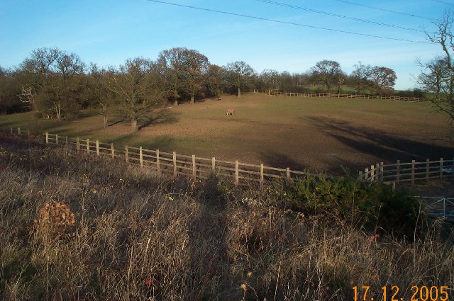
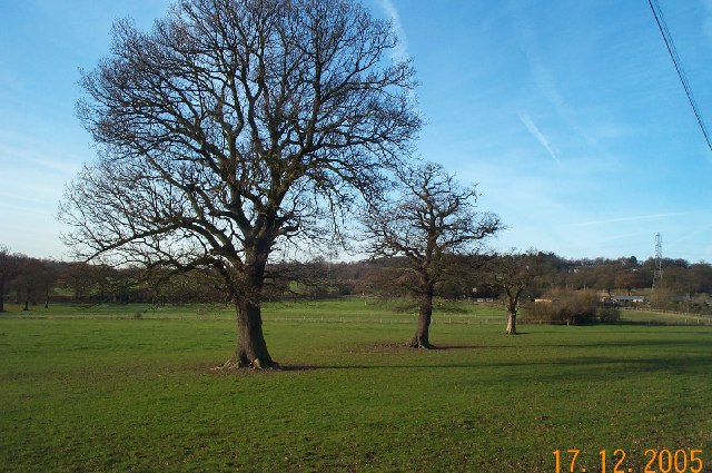
Thistle Wood is a beautiful forest located in Middlesex, England. The wood is characterized by its dense population of thistle plants, which give the area its name. The forest is home to a variety of wildlife, including deer, rabbits, and a wide array of bird species.

Thistle Wood is a popular destination for nature lovers and hikers, who come to explore its winding trails and peaceful surroundings. The forest is also a favorite spot for birdwatchers, who can often spot rare and unique bird species among the trees.

The wood is known for its towering oak and beech trees, which provide a lush canopy overhead. The forest floor is carpeted with ferns, moss, and wildflowers, creating a vibrant and diverse ecosystem.

Thistle Wood is managed by the local council, who work to preserve its natural beauty and protect its wildlife. The wood is open to the public year-round and offers a serene and tranquil escape from the hustle and bustle of city life.

Overall, Thistle Wood is a picturesque and enchanting forest that offers visitors a chance to connect with nature and enjoy the beauty of the English countryside.

If you have any feedback on the listing, please let us know in the comments section below.
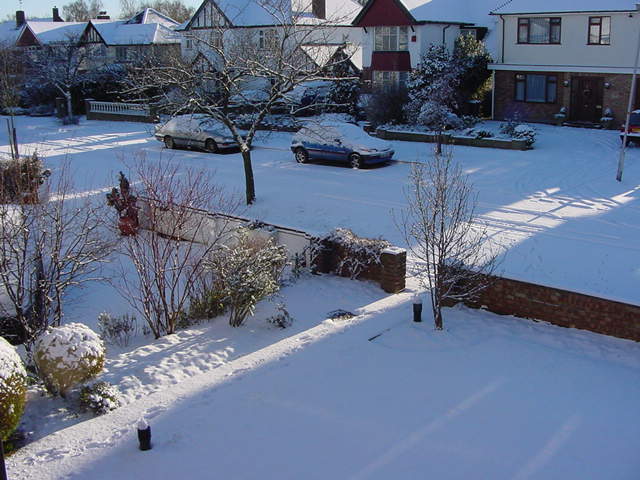
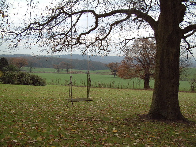
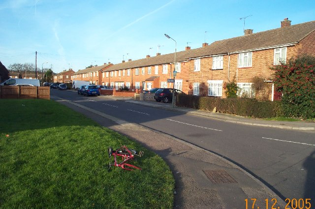
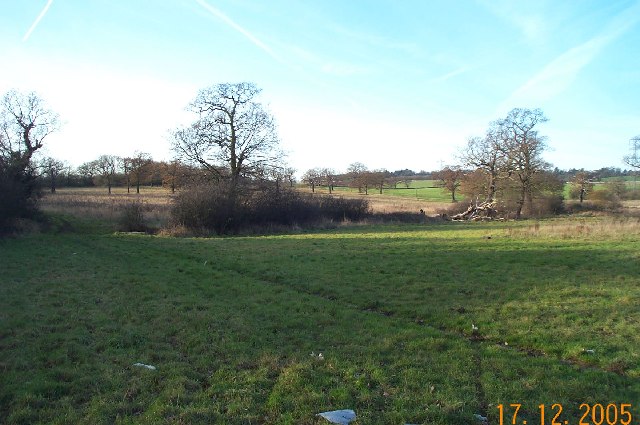
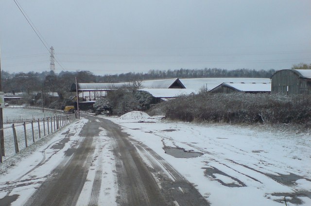
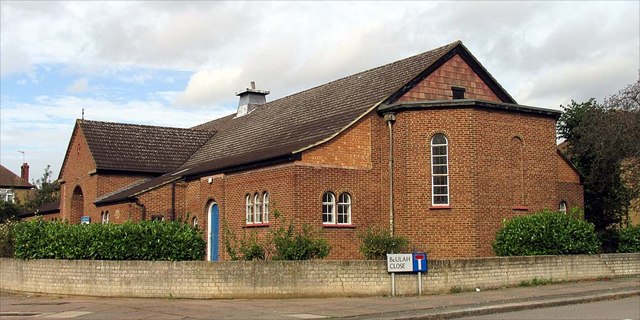
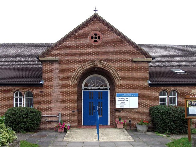
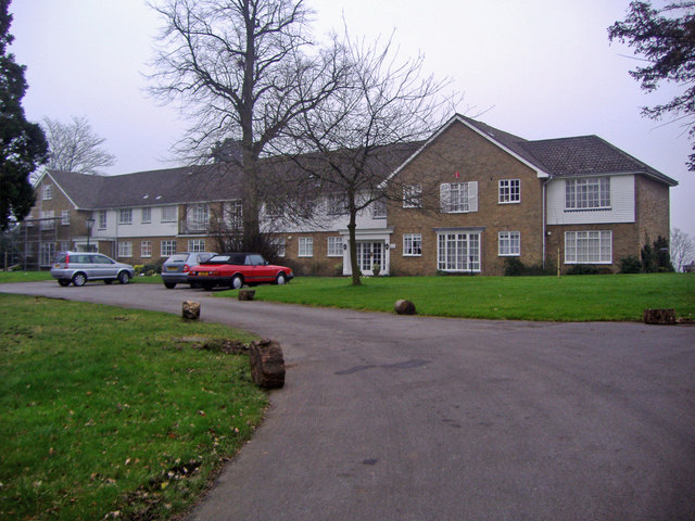
Thistle Wood Images

Images are sourced within 2km of 51.638684/-0.25959874 or Grid Reference TQ2094. Thanks to Geograph Open Source API. All images are credited.

Winter in Elstree Overnight dusting in an affluent area of Elstree.
Winter in Elstree
Overnight dusting in an affluent area of Elstree.
From Deacons Hill A line of hills lies to the north of London, of which Deacons Hill is one. This has long presented a challenge to those building transport links to the north of the capital. The Roman Road, Watling Street skirts Deacon Hill a mile to the west; the Midland main line tunnels directly underneath and the M1 approaches beside the railway before turning sharply west and crossing at the point chosen by the Romans.
From Deacons Hill
A line of hills lies to the north of London, of which Deacons Hill is one. This has long presented a challenge to those building transport links to the north of the capital. The Roman Road, Watling Street skirts Deacon Hill a mile to the west; the Midland main line tunnels directly underneath and the M1 approaches beside the railway before turning sharply west and crossing at the point chosen by the Romans.
Edgware: Meadfield Viewed looking northwards.
Edgware: Meadfield
Viewed looking northwards.
Edgwarebury: Farmland The very northern edge of built-up London here, where the houses end and the countryside begins. This view was taken looking north westwards from the end of Warrens Shawe Lane. There is a large stream flowing in the bottom of the valley which the Ordnance Survey, for some reason, ignores on both the 1:50,000 and 1:25,000 scale maps.
Edgwarebury: Farmland
The very northern edge of built-up London here, where the houses end and the countryside begins. This view was taken looking north westwards from the end of Warrens Shawe Lane. There is a large stream flowing in the bottom of the valley which the Ordnance Survey, for some reason, ignores on both the 1:50,000 and 1:25,000 scale maps.
Edgwarebury: Pasture Viewed looking north eastwards, the idyllic rural scene is somewhat marred by the noise from the M1 Motorway just beyond the trees at the top of the hill.
Edgwarebury: Pasture
Viewed looking north eastwards, the idyllic rural scene is somewhat marred by the noise from the M1 Motorway just beyond the trees at the top of the hill.
Edgware: Francklyn Gardens Viewed looking northwards from the junction with Parsons Grove. Photography by Darth Vader.
Edgware: Francklyn Gardens
Viewed looking northwards from the junction with Parsons Grove. Photography by Darth Vader.
Edgwarebury: Pasture Viewed looking north westwards from Edgwarebury Lane.
Edgwarebury: Pasture
Viewed looking north westwards from Edgwarebury Lane.
View from Woodcock Hill Academy Court and Footbridge at Elstree & Borehamwood Station in centre. Byron Avenue towards front of picture. The buildings in the middle, going away from Byron Avenue towards Academy Court, are on the site of the former Fire Research Station which moved to the Building Research Establishment at Garston in 1993. Taken September 2004.
View from Woodcock Hill
Academy Court and Footbridge at Elstree & Borehamwood Station in centre. Byron Avenue towards front of picture. The buildings in the middle, going away from Byron Avenue towards Academy Court, are on the site of the former Fire Research Station which moved to the Building Research Establishment at Garston in 1993. Taken September 2004.
Borehamwood: Gate Studios from Station Road
Bury Farm
Bury Farm
St Andrew, Lynford Gardens, Edgware
St Andrew, Lynford Gardens, Edgware - East end
St Andrew, Lynford Gardens, Edgware - Doorway
Deacons Heights, Elstree Modern development along Barnet Lane
Deacons Heights, Elstree
Modern development along Barnet Lane
The Rise, Elstree Taken from Deacons Hill Road.
The Rise, Elstree
Taken from Deacons Hill Road.
Approaching Elstree & Boreham Wood Bracketed by semaphore signals, a class 45 diesel locomotive approaches the station at speed with a fast passenger service from St. Pancras.  It has just exited the tunnels that carry the line under Deacons Hill and Scratchwood.  The semaphore signals are in their last months of service (in 1979) as they are to be replaced with colour light signalling - one of which is visible with the white X denoting that it is not in use.   John Webb informs me that the buildings at the top of the embankment on the left belonged to the Fire Research Station.  The site now has houses on it.
Approaching Elstree & Boreham Wood
Bracketed by semaphore signals, a class 45 diesel locomotive approaches the station at speed with a fast passenger service from St. Pancras. It has just exited the tunnels that carry the line under Deacons Hill and Scratchwood. The semaphore signals are in their last months of service (in 1979) as they are to be replaced with colour light signalling - one of which is visible with the white X denoting that it is not in use. John Webb informs me that the buildings at the top of the embankment on the left belonged to the Fire Research Station. The site now has houses on it.
Furzehill Road, Borehamwood
Show me another place!

Thistle Wood is located at Grid Ref: TQ2094 (Lat: 51.638684, Lng: -0.25959874)

Unitary Authority: Barnet

Police Authority: Metropolitan

What 3 Words

///lodge.chained.finest. Near Borehamwood, Hertfordshire

Related Wikis

Scratchwood

Scratchwood is an extensive, mainly wooded, country park in Mill Hill in the London Borough of Barnet. The 57-hectare site is a Site of Metropolitan Importance...
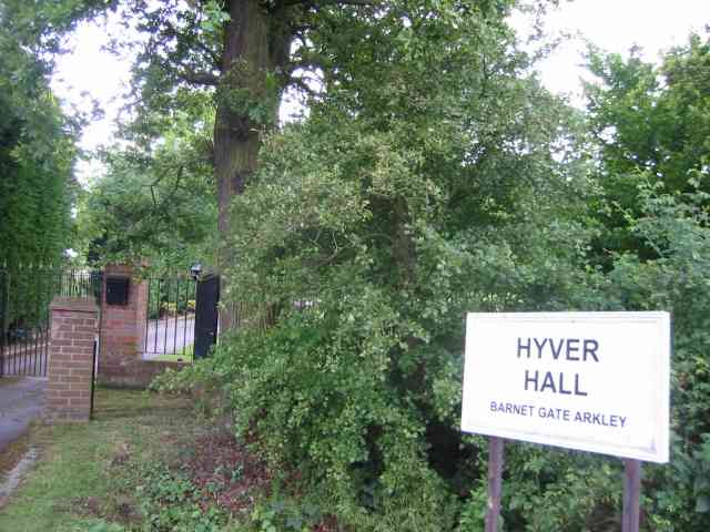
Hyver Hall

Hyver Hall is a grade II listed house in Barnet Road, to the west of Barnet Gate and Arkley, in the London Borough of Barnet.It was purchased by Harpinder...

Moat Mount Open Space

Moat Mount Open Space is a 110-hectare park and nature reserve in Mill Hill in the London Borough of Barnet. It is part of Moat Mount Open Space and Mote...

London Gateway services

London Gateway services is the southernmost motorway service station on the M1 motorway – between Junctions 2 and 4 – north of London, England. It is between...

Nearby Amenities

Located within 500m of 51.638684,-0.25959874
Bus Stop
Scratchwood Park
Bench: no
Bin: yes
Bus: yes
Check Date Shelter: 2022-06-20
Lit: yes
Local Ref: D
Naptan AtcoCode: 490011961N
Naptan Bearing: N
Naptan CommonName: Scratchwood Park
Naptan Indicator: Stop D
Naptan Street: BARNET WAY
Naptan Verified: no
Public Transport: platform
Shelter: no
Tactile Paving: no
Lat/Long: 51.6398286/-0.2562515
Bus Stop
Scratchwood Park
Bench: yes
Bin: no
Bus: yes
Check Date Shelter: 2022-06-20
Local Ref: H
Naptan AtcoCode: 490011961S
Naptan Bearing: S
Naptan CommonName: Scratchwood Park
Naptan Indicator: Stop H
Naptan Street: BARNET WAY
Naptan Verified: no
Public Transport: platform
Ref: 56985
Shelter: yes
Source Ref: naptan
Tactile Paving: no
Lat/Long: 51.6383803/-0.2551926
Give Way
Lat/Long: 51.6412377/-0.256157
Arkley Park
Place: locality
Lat/Long: 51.6383774/-0.2542827
Elstree Park
Place: locality
Lat/Long: 51.6426228/-0.2569771
Thistle Wood
Place: locality
Lat/Long: 51.6385403/-0.2591203
Boys Hill Wood
Place: locality
Lat/Long: 51.6390876/-0.2632616
Clump Of Trees Wood
Place: locality
Lat/Long: 51.6361172/-0.2558576
The data included in this document is from www.openstreetmap.org. The data is made available under ODbL.

Have you been to Thistle Wood?

Leave your review of Thistle Wood below (or comments, questions and feedback).