Boys Wood
Wood, Forest in Bedfordshire
England
Boys Wood
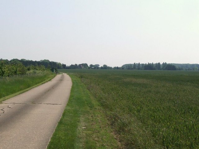
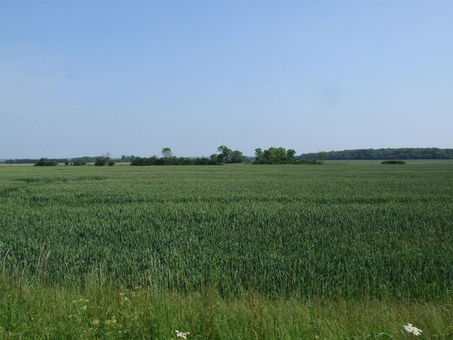
Boys Wood, located in Bedfordshire, is a serene and picturesque woodland area that spans across a considerable area of land. Situated in close proximity to the town of Bedford, Boys Wood attracts nature enthusiasts, hikers, and recreational visitors alike.
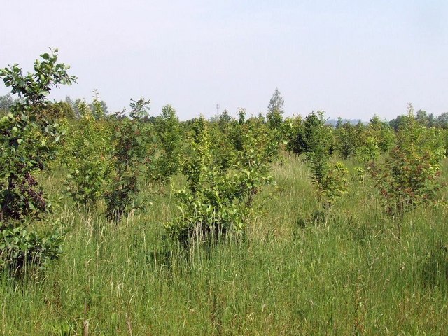
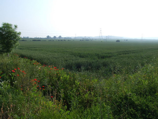
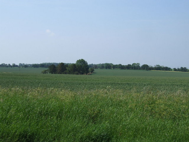
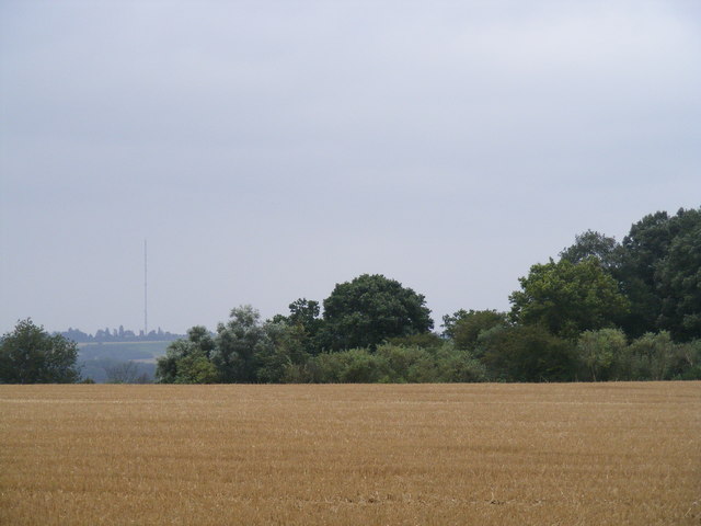
The woodland offers a diverse range of ecosystems, comprising both deciduous and coniferous trees. The lush greenery creates a perfect habitat for various wildlife species such as deer, squirrels, and a myriad of bird species, making it an ideal destination for birdwatchers and wildlife enthusiasts. The tranquility of the wood is further enhanced by the presence of a small stream that meanders through the trees, adding to the overall natural beauty of the area.
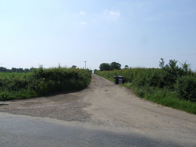
Boys Wood provides a network of well-maintained pathways and trails, making it accessible for walkers and hikers of all abilities. These paths guide visitors through the wood, showcasing the different flora and fauna found within the area. Additionally, there are plenty of spots for picnicking and relaxation, allowing visitors to soak in the peaceful atmosphere.
The wood is open to the public throughout the year and is particularly popular during the spring and summer months when the foliage is at its most vibrant. However, it maintains its charm during the autumn and winter seasons, offering a distinct beauty as the trees shed their leaves and the woodland takes on a different ambiance.
Overall, Boys Wood in Bedfordshire is a haven for nature lovers, offering an escape from the hustle and bustle of everyday life. Its natural beauty, diverse wildlife, and well-maintained trails make it a must-visit location for those seeking solace in nature.
If you have any feedback on the listing, please let us know in the comments section below.
Boys Wood Images
Images are sourced within 2km of 52.19055/-0.26216514 or Grid Reference TL1856. Thanks to Geograph Open Source API. All images are credited.


Boys Wood is located at Grid Ref: TL1856 (Lat: 52.19055, Lng: -0.26216514)
Unitary Authority: Bedford
Police Authority: Bedfordshire
What 3 Words
///factor.ambushes.tell. Near Little Barford, Bedfordshire
Nearby Locations
Related Wikis

Little Barford
Little Barford is a hamlet and civil parish in the Borough of Bedford in Bedfordshire, England about 7 miles (11 km) northeast of the county town of Bedford...

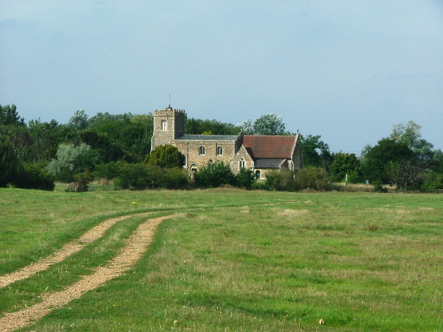
St Denys' Church, Little Barford
St Denys' Church is a redundant Anglican church in the village of Little Barford, Bedfordshire, England. It is recorded in the National Heritage List...
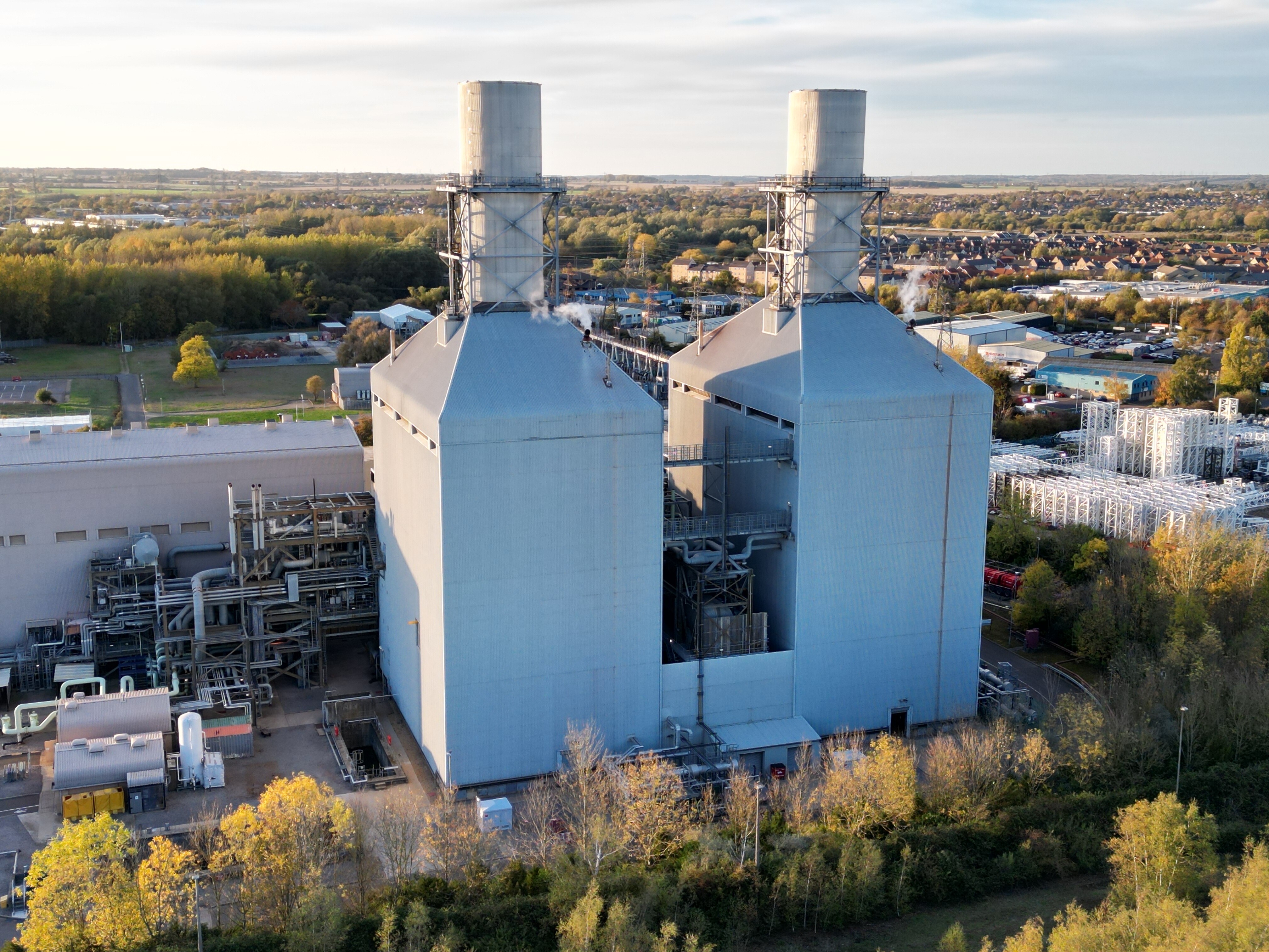
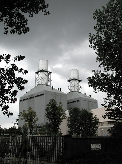
Little Barford Power Station
Little Barford Power Station is a gas-fired power station just north of the village of Little Barford (close to St Neots) in Bedfordshire, England. It...

Eynesbury Hardwicke
Eynesbury Hardwicke is a former civil parish, now in the parishes of Abbotsley and St Neots, in the Huntingdonshire part of Cambridgeshire, England. At...
Nearby Amenities
Located within 500m of 52.19055,-0.26216514Have you been to Boys Wood?
Leave your review of Boys Wood below (or comments, questions and feedback).