Furzefield Copse

Wood, Forest in Sussex Horsham

England

Furzefield Copse

Level Crossing (Horsham-Crawley line), Wimland Road, Faygate, West Sussex An automatic (un-manned) rural level crossing on this railway line, which connects Horsham to the London Victoria terminus, via Three Bridges.
Level Crossing (Horsham-Crawley line), Wimland Road, Faygate, West Sussex Credit: Pete Chapman

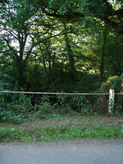
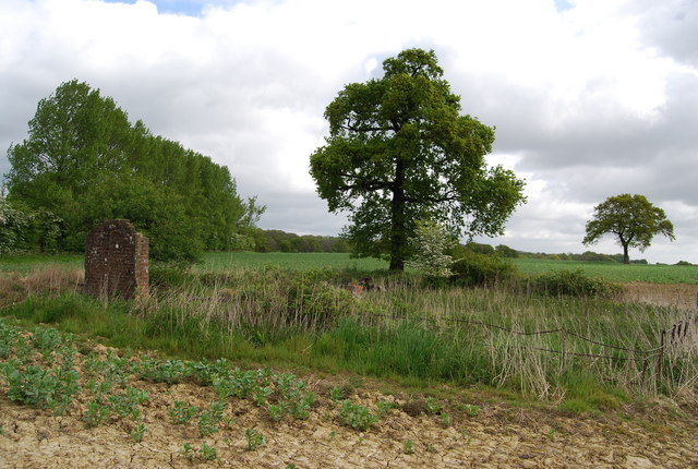
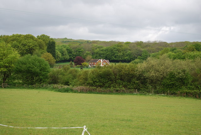
Furzefield Copse is a picturesque woodland located in Sussex, England. Covering an area of approximately 50 acres, it is a haven for nature lovers and outdoor enthusiasts. The copse is situated in the heart of the Sussex countryside, surrounded by rolling hills and scenic landscapes.

The woodland is primarily composed of native tree species such as oak, beech, and birch, creating a diverse and lush environment. The thick canopy of trees provides shade and shelter for a wide variety of wildlife, including birds, mammals, and insects. Visitors to Furzefield Copse can often spot deer, squirrels, and a range of bird species, making it a popular spot for wildlife enthusiasts and birdwatchers.

The forest floor is covered in a thick layer of leaf litter, creating a rich and fertile habitat for a range of plant species. Bluebells, wild garlic, and ferns are just a few examples of the flora that can be found in abundance throughout the copse, particularly during the spring and summer months.

Furzefield Copse features a network of well-maintained footpaths, allowing visitors to explore the woodland and take in its natural beauty. These paths wind through the trees, providing opportunities for leisurely walks, picnics, and even wildlife photography.

Overall, Furzefield Copse is a serene and idyllic woodland that offers a peaceful retreat from the hustle and bustle of everyday life. Its natural beauty and diverse wildlife make it an ideal destination for nature lovers and those seeking a connection with the great outdoors.

If you have any feedback on the listing, please let us know in the comments section below.

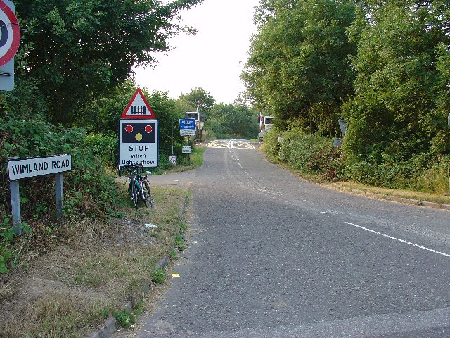
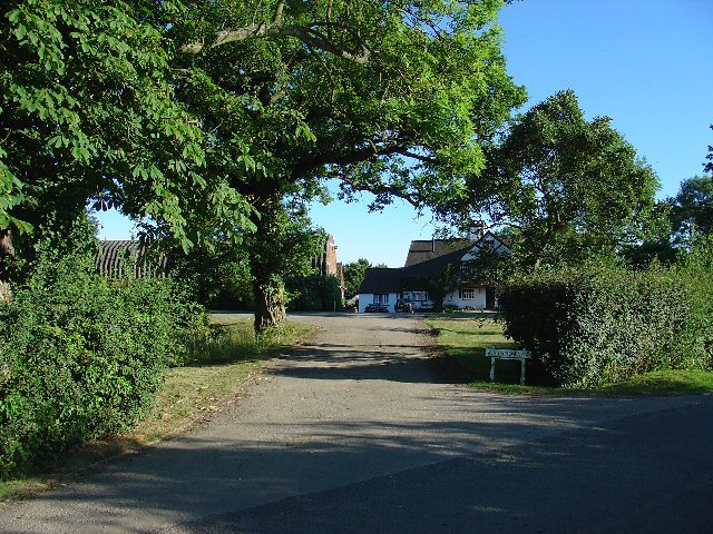
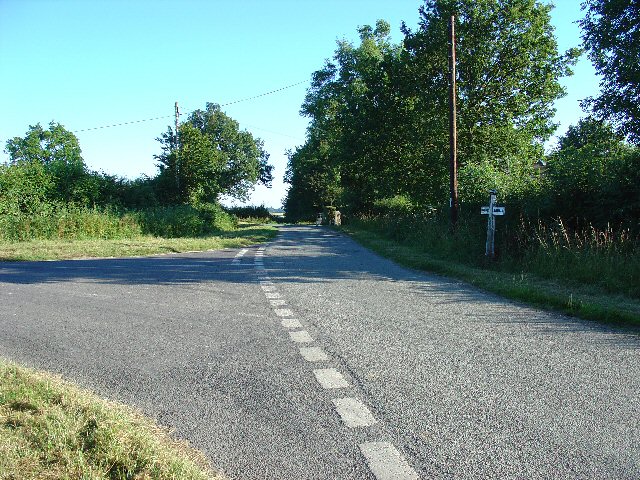
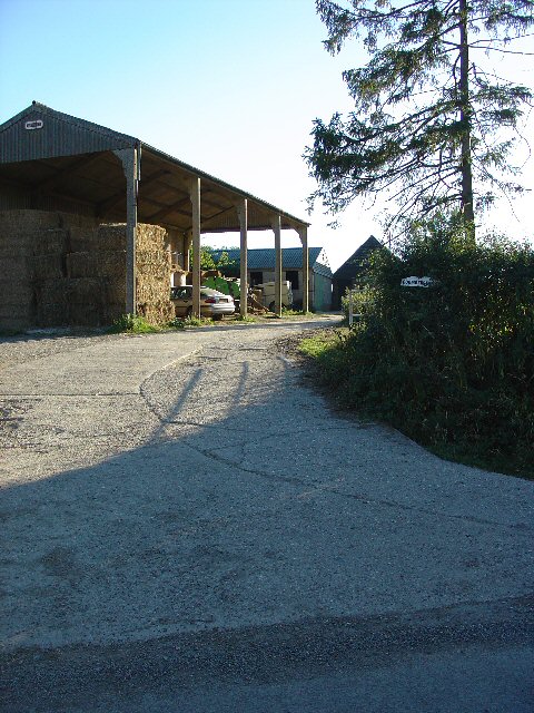
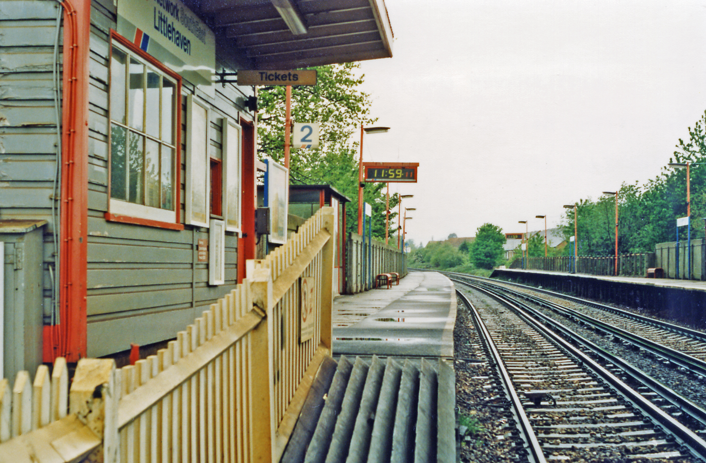
Furzefield Copse Images

Images are sourced within 2km of 51.09842/-0.30369993 or Grid Reference TQ1834. Thanks to Geograph Open Source API. All images are credited.

Level Crossing (Horsham-Crawley line), Wimland Road, Faygate, West Sussex An automatic (un-manned) rural level crossing on this railway line, which connects Horsham to the London Victoria terminus, via Three Bridges.
Level Crossing (Horsham-Crawley line), Wimland Road, Faygate, West Sussex
An automatic (un-manned) rural level crossing on this railway line, which connects Horsham to the London Victoria terminus, via Three Bridges.
Wimland Farm, Near Faygate, West Sussex A standard sized farmstead for the area, and one where farming appears to still be the main activity. Small pond behind the bushes on the left. View taken from the public road immediately to the N.
Wimland Farm, Near Faygate, West Sussex
A standard sized farmstead for the area, and one where farming appears to still be the main activity. Small pond behind the bushes on the left. View taken from the public road immediately to the N.
Road Junction near Wimland Farm, Faygate, West Sussex All narrow (single track) roads. The sign was a bit dilapidated - the central limb (to Faygate) was missing.
Road Junction near Wimland Farm, Faygate, West Sussex
All narrow (single track) roads. The sign was a bit dilapidated - the central limb (to Faygate) was missing.
Barn at Coombers Farm, Faygate, West Sussex Many of the farms marked on the map in this area have now become solely residential properties, with no indication of any farming activity. Coombers Farm, however, has this sturdy (and used) modern style barn.
Barn at Coombers Farm, Faygate, West Sussex
Many of the farms marked on the map in this area have now become solely residential properties, with no indication of any farming activity. Coombers Farm, however, has this sturdy (and used) modern style barn.
Tributary of River Mole, Near Coombers Farm, Faygate, West Sussex. The River Mole is one of the main rivers in the area. This is a very young tributary. The stream runs through a narrow strip of trees for around 2km at this point. See the River Mole again in grid square TQ2337.
Tributary of River Mole, Near Coombers Farm, Faygate, West Sussex.
The River Mole is one of the main rivers in the area. This is a very young tributary. The stream runs through a narrow strip of trees for around 2km at this point. See the River Mole again in grid square TQ2337.
The Frog and Nightgown An extraordinary pub - it's a window into the past.
The Frog and Nightgown
An extraordinary pub - it's a window into the past.
View from Wimland Hill
A large field of Brassicas (2) Brassica is a genus of the mustard family (Brassicaceae). 
Common types of brassica used for food include cabbage, cauliflower, broccoli & Brussels sprouts.
Wikipedia: <span class="nowrap"><a title="http://en.wikipedia.org/wiki/Brassica" rel="nofollow ugc noopener" href="http://en.wikipedia.org/wiki/Brassica">Link</a><img style="margin-left:2px;" alt="External link" title="External link - shift click to open in new window" src="https://s1.geograph.org.uk/img/external.png" width="10" height="10"/></span>
A large field of Brassicas (2)
Brassica is a genus of the mustard family (Brassicaceae). Common types of brassica used for food include cabbage, cauliflower, broccoli & Brussels sprouts. Wikipedia: LinkExternal link
Ruined Cow Shed by the footpath
Footpath entering a small wood near Wimland Rd
Young trees near Wimland Rd
Wimland Rd
Wimland Rd
Benson's Cottage from Wimland Rd
The Frog & Nightgown, Wimland Rd CAMRA (Campaign for Real Ale) publish an annual guide of about 5000 of the pubs in Britain serving consistently high quality real ale. All pubs in this collection have been regular entries & good beer is assured.
The Frog & Nightgown, Wimland Rd
CAMRA (Campaign for Real Ale) publish an annual guide of about 5000 of the pubs in Britain serving consistently high quality real ale. All pubs in this collection have been regular entries & good beer is assured.
Wimland Rd & Benson Lane junction
Benson Farm, Wimland Rd
Footpath off Wimland Rd, opposite Benson Farm
Derelict Barn, Benson Farm, Wimland Rd
Show me another place!

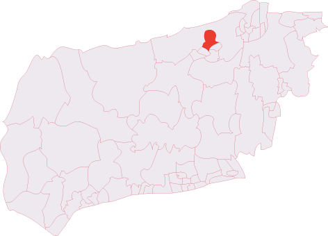
Furzefield Copse is located at Grid Ref: TQ1834 (Lat: 51.09842, Lng: -0.30369993)

Administrative County: West Sussex

District: Horsham

Police Authority: Sussex

What 3 Words

///blazing.starts.gong. Near Warnham, West Sussex

Related Wikis

Bohunt Horsham

Bohunt Horsham is a coeducational all-through school located in Horsham, West Sussex, England. The school opened to 120 students in Year 7 in 2019 in temporary...

Holbrook (electoral division)

Holbrook is an electoral division of West Sussex in the United Kingdom and returns one member to sit on West Sussex County Council. The current County...

Graylands

Graylands is a hamlet in the Horsham district of West Sussex, England. The largely rural hamlet is located north of Holbrook beyond the A264. It is bordered...

Old Holbrook

Old Holbrook (formerly known as Northlands) is a hamlet in the Horsham district of West Sussex, England. This rural hamlet is located north of the Horsham...

Warnham SSSI

Warnham SSSI is a 28.5-hectare (70-acre) geological Site of Special Scientific Interest north of Horsham in West Sussex. It is a Geological Conservation...

Roffey F.C.

Roffey F.C. is an English football club located in Roffey, Horsham in West Sussex. The club are currently members of the Southern Combination Division...

North Horsham railway station

North Horsham is a proposed railway station in Horsham, West Sussex which would serve the North Horsham Business Park. The proposal was backed by West...

North Horsham

North Horsham is a civil parish in the district of Horsham in West Sussex, England, covering the northern part of the Horsham town area. According to...

Nearby Amenities

Located within 500m of 51.09842,-0.30369993
Hurst Hill
Naptan AtcoCode: 4400HR0586
Naptan Bearing: S
Naptan BusStopType: CUS
Naptan CommonName: Hurst Hill
Naptan Indicator: HAR
Naptan Landmark: Hail & Ride
Naptan NaptanCode: wsxdtmpj
Naptan Street: Rusper Road
Naptan Verified: no
Source: naptan_import
Lat/Long: 51.0984739/-0.2978735
Northlands Farm
Place: farm
Lat/Long: 51.1014168/-0.3075852
Hilltop Farm
Place: farm
Lat/Long: 51.1013359/-0.3019526
Old Hawkesbourne Farm
Place: farm
Lat/Long: 51.0958247/-0.2982512
Addr Housename: Hurst Hill Cottage (ruin)
Ruins Building: house
Lat/Long: 51.100338/-0.2976154
Washout Hydrant
Fire Hydrant
Emergency: fire_hydrant
Fire Hydrant Type: underground
Survey Date: 2018-11-12
Water Source: main
Lat/Long: 51.095622/-0.3085866
The data included in this document is from www.openstreetmap.org. The data is made available under ODbL.

Have you been to Furzefield Copse?

Leave your review of Furzefield Copse below (or comments, questions and feedback).