Goffs Copse

Wood, Forest in Sussex Horsham

England

Goffs Copse

View south towards High Hurst Copse This photo was taken from the aptly named Park Lane - aptly because there are a lot of places to park along here, which is helpful from a walker's point of view.
View south towards High Hurst Copse Credit: Ian Cunliffe

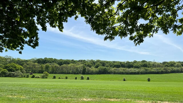
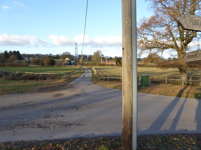
Goffs Copse is a picturesque woodland located in Sussex, England. Covering an area of approximately 150 acres, it is a well-preserved woodland that offers a rich natural habitat and stunning views. The copse is located near the village of Bolney, and is easily accessible to visitors.

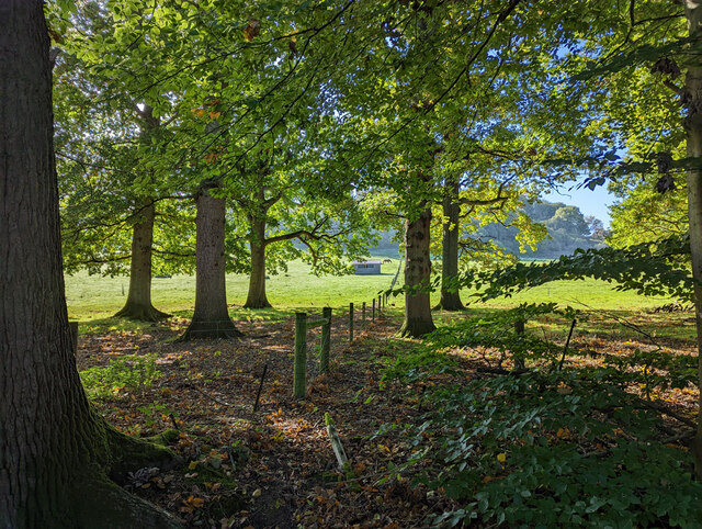
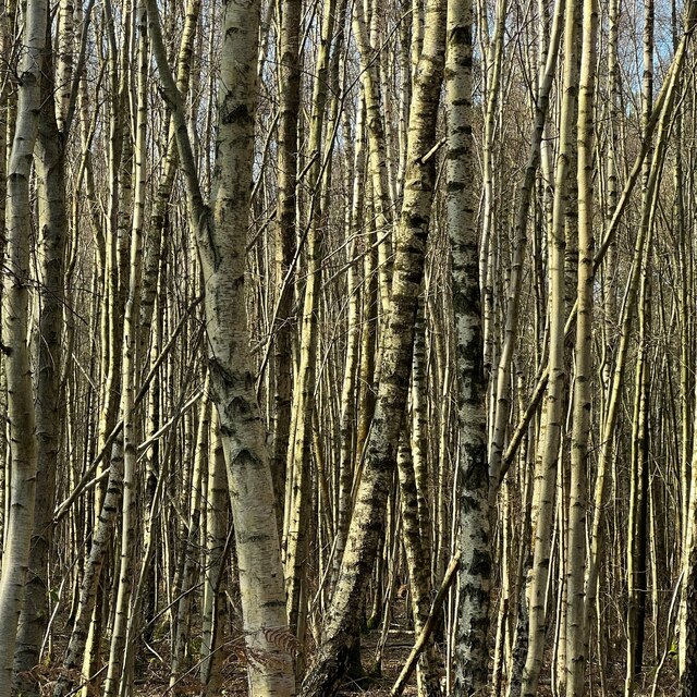
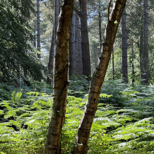
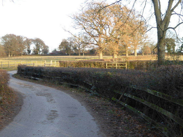
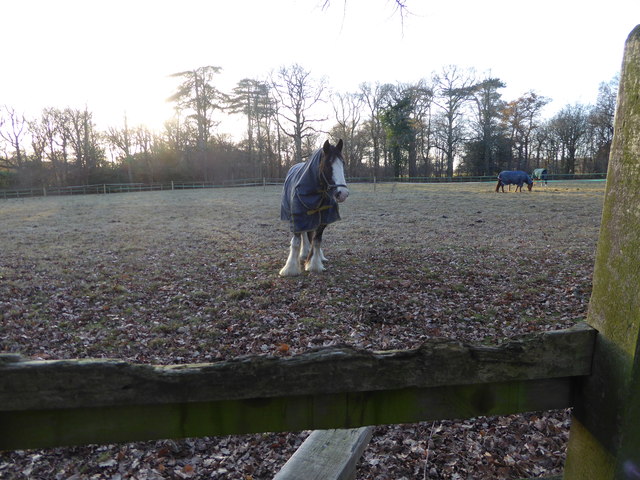
The woodland is predominantly made up of broadleaf trees, including oak, beech, and ash. The dense canopy of these trees provides a sheltered environment, creating a tranquil and peaceful atmosphere. Goffs Copse is also home to a variety of wildlife, including deer, rabbits, squirrels, and numerous species of birds. Nature enthusiasts will appreciate the opportunity to observe and appreciate the local fauna and flora.

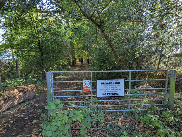
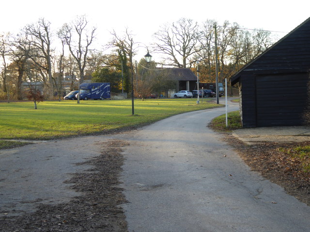
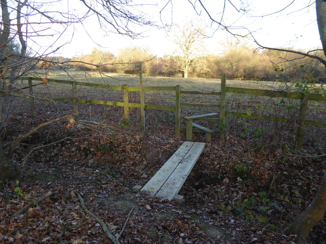
The copse is crisscrossed by a network of footpaths and trails, making it an ideal destination for walkers, hikers, and nature lovers. These trails offer beautiful views of the woodland, allowing visitors to immerse themselves in the natural beauty of Goffs Copse. The pathways are well-maintained, ensuring a pleasant and safe experience for all visitors.

Additionally, Goffs Copse offers a range of recreational activities such as picnicking, birdwatching, and photography. The copse boasts several designated picnic areas with benches, allowing visitors to relax and enjoy the peaceful surroundings. The diverse bird population, including species such as woodpeckers and nightingales, makes it a popular spot for birdwatchers.

Overall, Goffs Copse is a stunning woodland that provides an idyllic retreat for nature enthusiasts. With its diverse ecosystem, well-maintained trails, and scenic views, it is a must-visit destination for anyone seeking a peaceful and immersive woodland experience in Sussex.

If you have any feedback on the listing, please let us know in the comments section below.
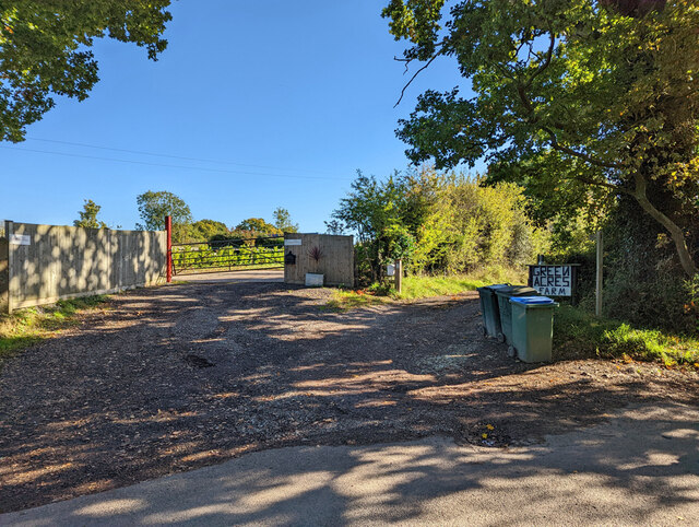
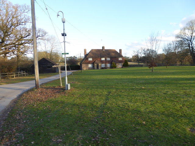
Goffs Copse Images

Images are sourced within 2km of 51.013324/-0.30650717 or Grid Reference TQ1825. Thanks to Geograph Open Source API. All images are credited.

View south towards High Hurst Copse This photo was taken from the aptly named Park Lane - aptly because there are a lot of places to park along here, which is helpful from a walker's point of view.
View south towards High Hurst Copse
This photo was taken from the aptly named Park Lane - aptly because there are a lot of places to park along here, which is helpful from a walker's point of view.
House on Burnthouse Lane According to the large-scale map this is called "Little Burnt House".
House on Burnthouse Lane
According to the large-scale map this is called "Little Burnt House".
Fields north of Woldringfold
Start of bridleway 1726 on Burnthouse Lane
View south-west from Burnthouse Lane
Entrances to Redgate Farm and Greenacres Farm Off Burnthouse Lane. Footpath 1803 towards Crabtree starts down the drive to Greenacres Farm.
Entrances to Redgate Farm and Greenacres Farm
Off Burnthouse Lane. Footpath 1803 towards Crabtree starts down the drive to Greenacres Farm.
Twisted Cottage, Prings Lane
Trees in Lodgesale Wood
Scene in Lodgesale Wood
Power Through the Plantation Power lines cutting through Lodgesale Wood
Power Through the Plantation
Power lines cutting through Lodgesale Wood
Greenacres Farm Path This public footpath acts as the drive to Greenacres Farm
Greenacres Farm Path
This public footpath acts as the drive to Greenacres Farm
High Hurst Cottages
High Hurst Cottages
The drive to High Hurst Manor This is a public footpath.
The drive to High Hurst Manor
This is a public footpath.
Footpath going east to Burnthouse Lane
The green at High Hurst
Footpath crosses ditch to stile
Splendid feathers
Splendid feathers
Footpath going east in Spring Wood
Show me another place!

Goffs Copse is located at Grid Ref: TQ1825 (Lat: 51.013324, Lng: -0.30650717)

Administrative County: West Sussex

District: Horsham

Police Authority: Sussex

What 3 Words

///beans.balconies.grinders. Near Southwater, West Sussex

Nearby Locations

Limekiln Wood Goffs Copse

Related Wikis

Maplehurst, West Sussex

Maplehurst is a hamlet in the civil parish of Nuthurst, and the Horsham District of West Sussex, England. The hamlet is on the Copsale to Nuthurst road...

Nuthurst

Nuthurst is a village and civil parish in the Horsham district of West Sussex, England. The north of the parish borders Horsham town, with Nuthurst village...

Copsale

Copsale is a hamlet in the civil parish of Nuthurst, and the Horsham District of West Sussex, England. It lies on the Southwater to Maplehurst road 3.5...

Southwater & Nuthurst (electoral division)

Southwater & Nuthurst is an electoral division of West Sussex in the United Kingdom and returns one member to sit on West Sussex County Council. The current...

Nearby Amenities

Located within 500m of 51.013324,-0.30650717
Nuthurst Road
Naptan AtcoCode: 4400HR0829
Naptan Bearing: N
Naptan BusStopType: CUS
Naptan CommonName: Nuthurst Road
Naptan Indicator: HAR
Naptan Landmark: Hail & Ride
Naptan NaptanCode: wsxdwmjg
Naptan Street: Nuthurst Road
Naptan Verified: no
Source: naptan_import
Lat/Long: 51.0130965/-0.3037388
Nuthurst Road
Naptan AtcoCode: 4400HR0830
Naptan Bearing: S
Naptan BusStopType: CUS
Naptan CommonName: Nuthurst Road
Naptan Indicator: HAR
Naptan Landmark: Hail & Ride
Naptan NaptanCode: wsxdwmjm
Naptan Street: Nuthurst Road
Naptan Verified: no
Source: naptan_import
Lat/Long: 51.0130771/-0.3036397
Maplehurst
Place: village
Wikidata: Q6754036
Lat/Long: 51.0091753/-0.3041828
LIttle Micklepage Leigh
Addr City: Nuthurst
Addr Housename: LIttle Micklepage Leigh
Addr Postcode: RH13 6RG
Addr Street: Nuthurst Street
Lat/Long: 51.015602/-0.3003908
Post Box
Post Box Type: lamp
Ref: RH13 206
Royal Cypher: EIIR
Royal Cypher Wikidata: Q33102113
Lat/Long: 51.0155572/-0.3023355
Gaveston Hall
Place: isolated_dwelling
Lat/Long: 51.0125393/-0.3112007
Micklepage Farm
Place: isolated_dwelling
Lat/Long: 51.015911/-0.3009346
Stone House Farm
Place: farm
Lat/Long: 51.0172388/-0.3038325
Old Cottage Farm
Place: farm
Lat/Long: 51.0105724/-0.3040554
The data included in this document is from www.openstreetmap.org. The data is made available under ODbL.

Have you been to Goffs Copse?

Leave your review of Goffs Copse below (or comments, questions and feedback).