Combe Wood

Wood, Forest in Hertfordshire Hertsmere

England

Combe Wood

Shenley Village The tall building was the water tower to a mental hospital which has now been developed as a housing community
Shenley Village Credit: Jack Hill

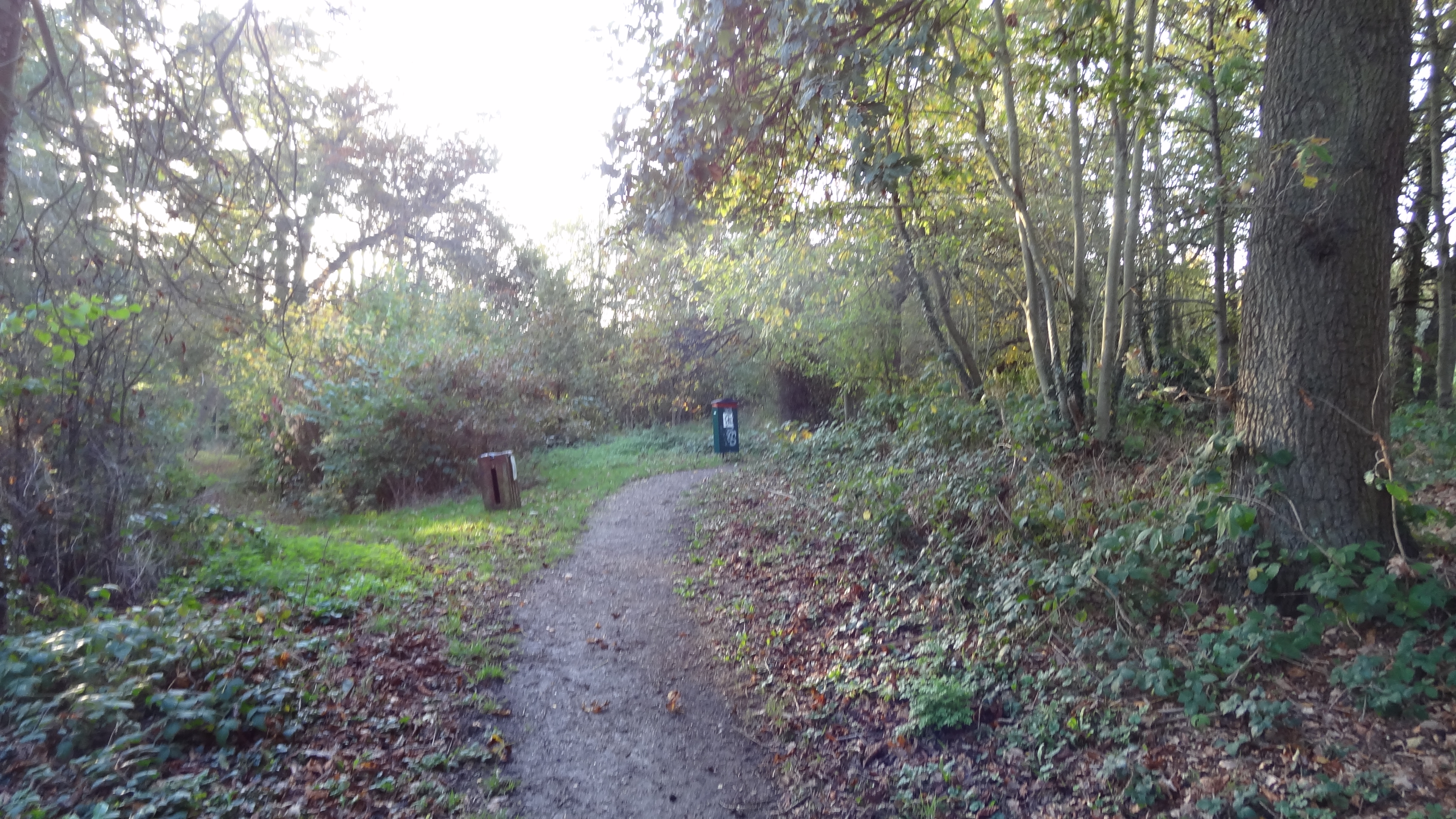
Combe Wood is a picturesque woodland located in Hertfordshire, England. Situated just outside the village of Combe, the wood covers an area of approximately 100 acres and is known for its natural beauty and diverse wildlife.

The wood is primarily composed of deciduous trees such as oak, beech, and birch, which create a dense canopy that provides shade and shelter for various animal species. The forest floor is covered in a thick carpet of moss, ferns, and wildflowers, adding to the wood's enchanting atmosphere.

Combe Wood is a popular destination for nature lovers and hikers, offering a network of well-maintained trails that wind through the woodland. These trails provide visitors with the opportunity to explore the wood's different habitats and discover its hidden gems, such as small streams and charming clearings.

The wood is also home to a wide range of wildlife, including deer, foxes, badgers, and numerous bird species. Birdwatchers can often spot woodpeckers, owls, and various songbirds within the tree canopy.

Combe Wood has a rich historical significance as well, with evidence of human activity dating back to the Iron Age. The wood has also been used for timber production in the past, and remnants of old sawpits can still be found in some areas.

Overall, Combe Wood offers a tranquil escape from the hustle and bustle of daily life, providing visitors with an opportunity to immerse themselves in nature and enjoy the beauty of this ancient woodland.

If you have any feedback on the listing, please let us know in the comments section below.
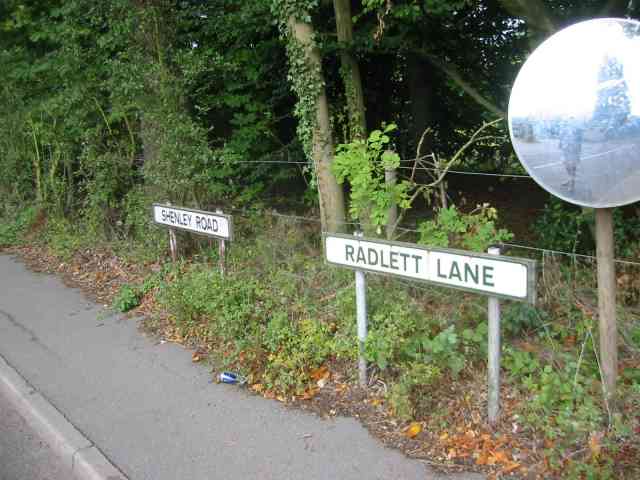
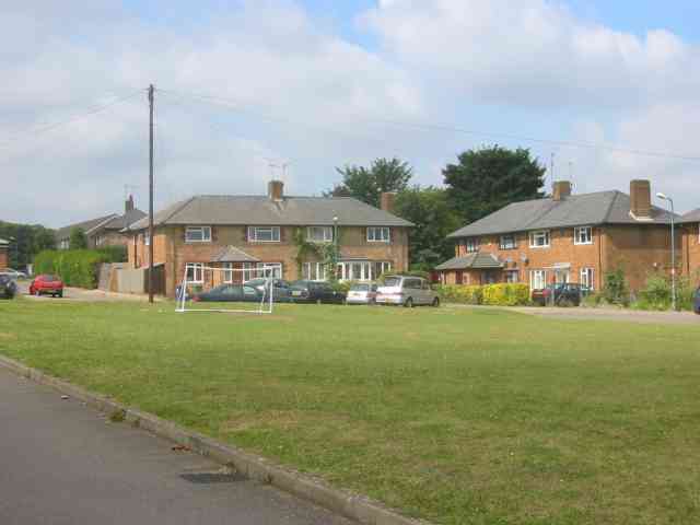
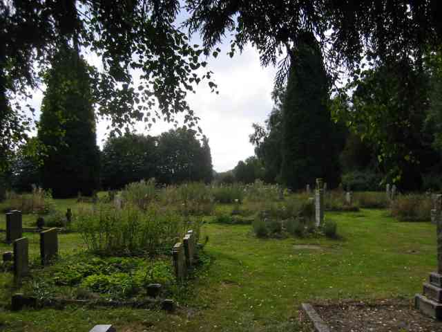
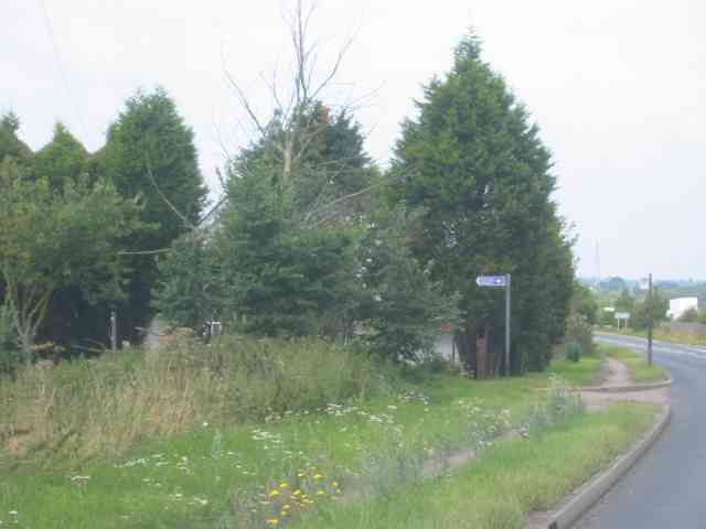
Combe Wood Images

Images are sourced within 2km of 51.69752/-0.28101582 or Grid Reference TL1801. Thanks to Geograph Open Source API. All images are credited.

Shenley Village The tall building was the water tower to a mental hospital which has now been developed as a housing community
Shenley Village
The tall building was the water tower to a mental hospital which has now been developed as a housing community
Shenley Village The tall building was the water tower to a mental hospital which has been redeveloped as a housing community  {taken from west side}
Shenley Village
The tall building was the water tower to a mental hospital which has been redeveloped as a housing community {taken from west side}
Harperbury Hospital  Herts This was a mental hospital complex but has now been run down to ancillary projects
Harperbury Hospital Herts
This was a mental hospital complex but has now been run down to ancillary projects
Harperbury Hospital   Herts The buildings included the boiler houses and workshops.  Now all run down since mental hospitals were superseded.
Harperbury Hospital Herts
The buildings included the boiler houses and workshops. Now all run down since mental hospitals were superseded.
De Havilland aircraft museum Hertfordshire. The wooden framed Mosquito was built at this factory so the museum has a heritage status.
De Havilland aircraft museum Hertfordshire.
The wooden framed Mosquito was built at this factory so the museum has a heritage status.
Salisbury Hall with moat.   near Ridgehill Herts The hall and moat are visible on the map but not the museum.  The building is now converted into apartments.
Salisbury Hall with moat. near Ridgehill Herts
The hall and moat are visible on the map but not the museum. The building is now converted into apartments.
Wood Hall Lodge in Shenley Rd /Radlett Lane A very modest house guarding the entrance to the Hall {see next picture}
Wood Hall Lodge in Shenley Rd /Radlett Lane
A very modest house guarding the entrance to the Hall {see next picture}
A change of road name The mirror confirms that the two signs are opposite the Wood Hall Lodge.
A change of road name
The mirror confirms that the two signs are opposite the Wood Hall Lodge.
The Cottages at Shenleybury This group of houses was erected for workers at the
adjoining hospital
The Cottages at Shenleybury
This group of houses was erected for workers at the adjoining hospital
Cemetery at Shenleybury The tall planting is in fact rampant weeds which 
are ignored by the grass cutting gang. {Not our patch mate}
Cemetery at Shenleybury
The tall planting is in fact rampant weeds which are ignored by the grass cutting gang. {Not our patch mate}
Black Lion Pub    Shenley. This pub is in the old village on the opposite side of the B5378 from the "newer" village {ex hospital site}
Black Lion Pub Shenley.
This pub is in the old village on the opposite side of the B5378 from the "newer" village {ex hospital site}
The Stud Farm in Rectory Lane  Shenley One horse was being exercised just to the left of the picture
The Stud Farm in Rectory Lane Shenley
One horse was being exercised just to the left of the picture
Entrance to Salisbury Hall and the Mosquito Museum The house hidden behind the trees was probably the lodge. Despite being a B road this road has a fairly heavy flow.
Entrance to Salisbury Hall and the Mosquito Museum
The house hidden behind the trees was probably the lodge. Despite being a B road this road has a fairly heavy flow.
Shenley Hill  Business premises. The business is related to transport but I have no further clue.
Shenley Hill Business premises.
The business is related to transport but I have no further clue.
Shenley Lodge  School  Ridgehill Ambience is good and the children at this school must reap the benefit.
Shenley Lodge School Ridgehill
Ambience is good and the children at this school must reap the benefit.
Shenley Cage and Pond Viewed looking northwards over the village Pond, the Cage is one of the last remaining round gaolhouses in the country. Given its location outside the Queen Adelaide public house there is an ironic tablet in the wall of the gaolhouse advising passers-by to "Be Sober".
Shenley Cage and Pond
Viewed looking northwards over the village Pond, the Cage is one of the last remaining round gaolhouses in the country. Given its location outside the Queen Adelaide public house there is an ironic tablet in the wall of the gaolhouse advising passers-by to "Be Sober".
Southridge Animal Centre This RSPCA centre is based on the site of the former Southridge Farm on Packhorse Lane at Ridge.
Southridge Animal Centre
This RSPCA centre is based on the site of the former Southridge Farm on Packhorse Lane at Ridge.
Ashridge Lodge Situated on the south side of Mimms Lane near Shenley this house and a converted barn appear to have been created out of existing buildings at Ravenscroft Farm.
Ashridge Lodge
Situated on the south side of Mimms Lane near Shenley this house and a converted barn appear to have been created out of existing buildings at Ravenscroft Farm.
Show me another place!

Combe Wood is located at Grid Ref: TL1801 (Lat: 51.69752, Lng: -0.28101582)

Administrative County: Hertfordshire

District: Hertsmere

Police Authority: Hertfordshire

What 3 Words

///punk.avoid.region. Near Shenley, Hertfordshire

Related Wikis

Watling Chase Community Forest

Watling Chase Community Forest is an area of 72 square miles located in north London and south Hertfordshire around the towns of Potters Bar, Radlett,...
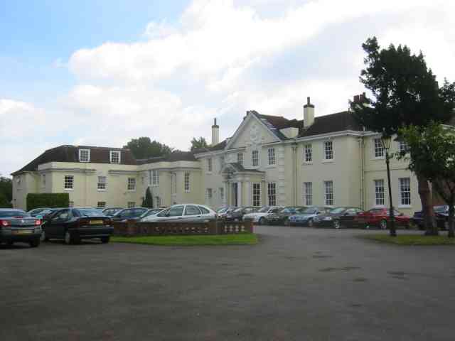
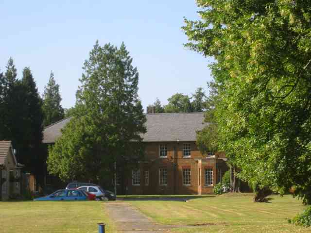
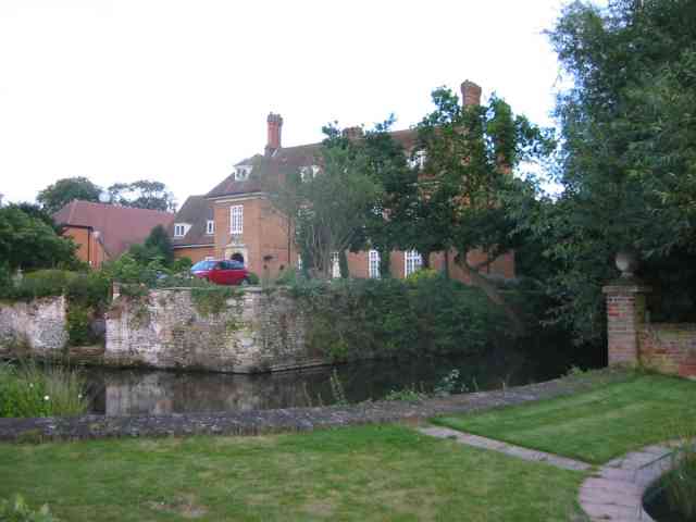
Shenley Hall

Shenley Hall is a Grade II listed English country house at Shenley in Hertfordshire. == History == Built in the 19th century, the hall benefited from additions...

Watling Chase Timberland Trail

The Watling Chase Timberland Trail is a 10.5 mile footpath in the Watling Chase Community Forest in Hertfordshire. It starts at Elstree & Borehamwood railway...

Shenley

Shenley is a village and civil parish in Hertfordshire, England, between Barnet and St Albans. The village is located 14 miles from Central London. As...
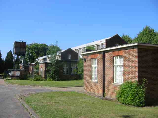
Shenley Hospital

Shenley Hospital was a psychiatric hospital at Shenley in Hertfordshire. It had two sister institutions, Harperbury Hospital and Napsbury Hospital, within...
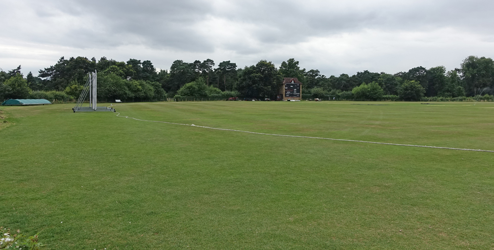
Denis Compton Oval

The Denis Compton Oval is a cricket ground located at the Shenley Cricket Centre in Shenley, Hertfordshire, England. The ground was opened by Denis Compton...

Watford Football Club Training Ground

The Watford Football Club Training Ground is the training ground and academy of the EFL Championship club Watford F.C. The centre is located on the University...

Arsenal Training Centre

The Arsenal Training Centre, often referred to as its geographical location London Colney in Hertfordshire, is the training ground of Arsenal Football...

Nearby Amenities

Located within 500m of 51.69752,-0.28101582
Mini Roundabout
Lat/Long: 51.6941716/-0.2838881
Mini Roundabout
Direction: clockwise
Lat/Long: 51.6985705/-0.2879296
Turning Circle
Lat/Long: 51.6948374/-0.2855057
Created By: YahooApplet 1.0
Lat/Long: 51.6963491/-0.2856596
Created By: YahooApplet 1.0
Lat/Long: 51.6967481/-0.2857454
Created By: YahooApplet 1.0
Lat/Long: 51.6973067/-0.2852305
Created By: YahooApplet 1.0
Lat/Long: 51.6981047/-0.2847155
Created By: YahooApplet 1.0
Lat/Long: 51.6982643/-0.2842005
Created By: YahooApplet 1.0
Lat/Long: 51.6981579/-0.2837713
Created By: YahooApplet 1.0
Lat/Long: 51.6987697/-0.2828701
Created By: YahooApplet 1.0
Lat/Long: 51.6993017/-0.281926
Created By: YahooApplet 1.0
Lat/Long: 51.6989027/-0.2814539
Created By: YahooApplet 1.0
Lat/Long: 51.6983973/-0.280896
Created By: YahooApplet 1.0
Lat/Long: 51.6986101/-0.2800806
Created By: YahooApplet 1.0
Lat/Long: 51.6989027/-0.2791365
Created By: YahooApplet 1.0
Lat/Long: 51.6998336/-0.2797373
Created By: YahooApplet 1.0
Lat/Long: 51.7002858/-0.2784927
Created By: YahooApplet 1.0
Lat/Long: 51.7008177/-0.2776344
Created By: YahooApplet 1.0
Lat/Long: 51.7006847/-0.2768191
Created By: YahooApplet 1.0
Lat/Long: 51.699541/-0.2757462
Created By: YahooApplet 1.0
Lat/Long: 51.6993017/-0.2761753
Created By: YahooApplet 1.0
Lat/Long: 51.6977855/-0.2754028
Created By: YahooApplet 1.0
Lat/Long: 51.6975461/-0.276862
Created By: YahooApplet 1.0
Lat/Long: 51.6966949/-0.2766903
Created By: YahooApplet 1.0
Lat/Long: 51.6961629/-0.2760037
Created By: YahooApplet 1.0
Lat/Long: 51.6945935/-0.2784069
Created By: YahooApplet 1.0
Lat/Long: 51.6952851/-0.2785786
Created By: YahooApplet 1.0
Lat/Long: 51.6952851/-0.2796085
Created By: YahooApplet 1.0
Lat/Long: 51.6949393/-0.2808531
Created By: YahooApplet 1.0
Lat/Long: 51.6946467/-0.2821835
Created By: YahooApplet 1.0
Lat/Long: 51.6952585/-0.2847584
Restaurant
L'Italiana — Shenley
Addr City: Radlett
Addr Housename: L'Italiana Restaurant
Addr Housenumber: 142
Addr Postcode: WD7 9BT
Addr Street: London Road
Addr Suburb: Shenley
Cuisine: italian
Phone: +44-7593025724
Toilets: yes
Toilets Access: customers
Website: https://www.litaliana.co.uk/shenley
Lat/Long: 51.6935784/-0.2825248
Bus Stop
Black Lion PH
Naptan AtcoCode: 210021007230
Naptan Bearing: NW
Naptan CommonName: Black Lion PH
Naptan Indicator: adj
Naptan Landmark: Unknown
Naptan NaptanCode: hrtgmtdw
Naptan PlusbusZoneRef: ELTR;RADLETT
Naptan ShortCommonName: NA
Naptan Street: London Road
Naptan Verified: no
Public Transport: platform
Source: naptan_import
Lat/Long: 51.6937718/-0.2833164
Bus Stop
Porters Park Drive
Bus: yes
Naptan AtcoCode: 210021007320
Naptan Bearing: S
Naptan CommonName: Porters Park Drive
Naptan Indicator: opp
Naptan Landmark: Unknown
Naptan NaptanCode: hrtgmpwt
Naptan PlusbusZoneRef: ELTR;RADLETT
Naptan ShortCommonName: NA
Naptan Street: Black Lion Hill
Naptan Verified: no
Public Transport: platform
Source: naptan_import
Lat/Long: 51.6981832/-0.2873896
Bus Stop
Combe Wood
Naptan AtcoCode: 210021007330
Naptan Bearing: SE
Naptan CommonName: Combe Wood
Naptan Crossing: opp Porters Park Drive
Naptan Indicator: adj
Naptan Landmark: opp Porters Park Drive
Naptan NaptanCode: hrtgmtag
Naptan PlusbusZoneRef: ELTR;RADLETT
Naptan ShortCommonName: NA
Naptan Street: Black Lion Hill
Naptan Verified: no
Public Transport: platform
Source: naptan_import
Lat/Long: 51.6947388/-0.2843038
Bus Stop
Black Lion PH
Naptan AtcoCode: 210021007410
Naptan Bearing: E
Naptan CommonName: Black Lion PH
Naptan Indicator: opp
Naptan Landmark: Unknown
Naptan NaptanCode: hrtgmpmp
Naptan PlusbusZoneRef: ELTR;RADLETT
Naptan ShortCommonName: NA
Naptan Street: Rectory Lane
Naptan Verified: no
Public Transport: platform
Source: naptan_import
Lat/Long: 51.6938059/-0.2826172
Crossing
Lat/Long: 51.6954514/-0.2870481
Noexit: yes
Lat/Long: 51.6958191/-0.2860415
Traffic Calming: island
Lat/Long: 51.6941139/-0.2837447
Traffic Calming: island
Lat/Long: 51.6942766/-0.2839476
Traffic Calming: island
Lat/Long: 51.6938062/-0.2847744
Crossing
Crossing: marked
Crossing Island: no
Tactile Paving: yes
Lat/Long: 51.6939824/-0.284307
Crossing
Lat/Long: 51.6954941/-0.2867121
Power: pole
Lat/Long: 51.701184/-0.2843082
Power: pole
Lat/Long: 51.7001708/-0.2835538
Power: pole
Lat/Long: 51.6991678/-0.282785
Power: pole
Lat/Long: 51.6952837/-0.2798485
Power: pole
Lat/Long: 51.6946006/-0.2790237
Power: pole
Lat/Long: 51.6939641/-0.2782558
Give Way
Direction: forward
Lat/Long: 51.6937422/-0.2830185
Traffic Calming: table
Lat/Long: 51.6933084/-0.2825171
Give Way
Direction: backward
Lat/Long: 51.6938514/-0.2847819
Crossing
Crossing: unmarked
Lat/Long: 51.6984126/-0.2877012
Crossing
Crossing: unmarked
Lat/Long: 51.6983849/-0.2877805
Crossing
Crossing: unmarked
Lat/Long: 51.6984818/-0.2880888
Traffic Calming: island
Lat/Long: 51.6981522/-0.2875134
Crossing
Crossing: marked
Lat/Long: 51.694134/-0.2848515
Noexit: yes
Lat/Long: 51.6939874/-0.2847272
Noexit: yes
Lat/Long: 51.693994/-0.2849901
Noexit: yes
Lat/Long: 51.6958066/-0.2859094
Crossing
Crossing: unmarked
Crossing Island: yes
Lat/Long: 51.6944957/-0.28418
The data included in this document is from www.openstreetmap.org. The data is made available under ODbL.

Have you been to Combe Wood?

Leave your review of Combe Wood below (or comments, questions and feedback).