Cow Banks Wood
Wood, Forest in Hertfordshire Hertsmere
England
Cow Banks Wood

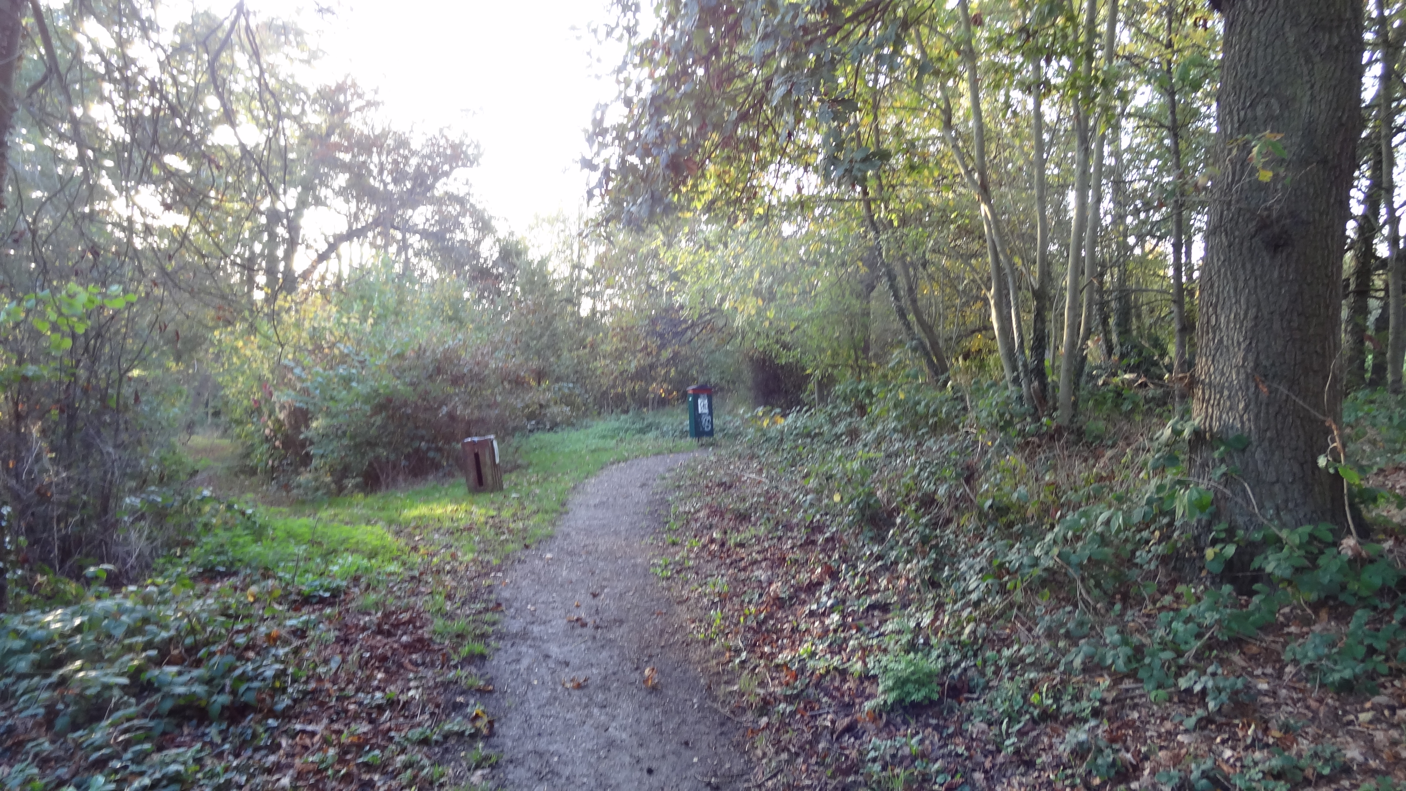
Cow Banks Wood is a picturesque woodland located in Hertfordshire, England. Covering an area of approximately 100 acres, it is a popular destination for nature enthusiasts and outdoor enthusiasts alike. The woodland is situated near the village of Hertford Heath and is easily accessible by foot or by car.
The wood is characterized by its diverse range of tree species, including oak, ash, beech, and birch. These trees provide a lush canopy, casting dappled sunlight on the forest floor. The undergrowth is abundant with ferns, bluebells, and wildflowers, adding to the wood's natural beauty.
Cow Banks Wood is home to a variety of wildlife, making it an ideal spot for birdwatching and animal spotting. Visitors may catch a glimpse of woodland birds such as woodpeckers, nuthatches, and tawny owls. Other inhabitants of the forest include deer, foxes, and squirrels.
The wood offers several well-maintained trails, making it a perfect place for walking, jogging, or cycling. These paths wind through the trees, providing visitors with a peaceful and tranquil setting. There are also designated picnic areas where visitors can relax and enjoy a meal amidst nature.
The management of Cow Banks Wood is overseen by the local authorities, ensuring the preservation and conservation of the woodland. Visitors are encouraged to follow the designated paths and respect the natural environment by not littering or disturbing the wildlife.
Overall, Cow Banks Wood is a serene and enchanting woodland that offers a tranquil escape from the hustle and bustle of everyday life. Its natural beauty and diverse wildlife make it a must-visit destination for nature lovers and outdoor enthusiasts in Hertfordshire.
If you have any feedback on the listing, please let us know in the comments section below.
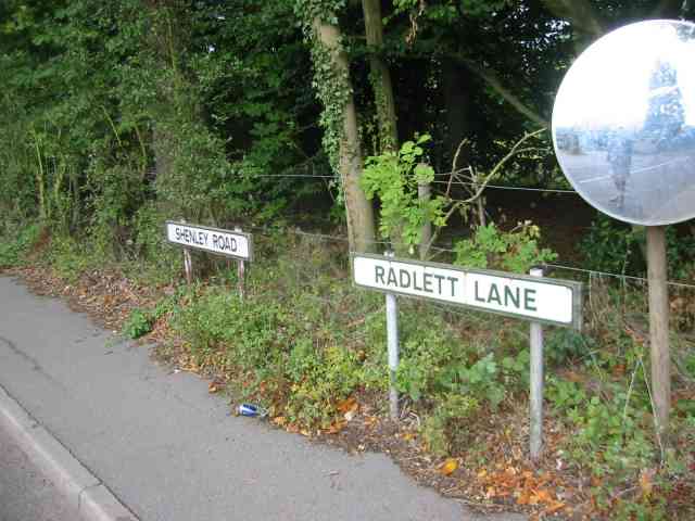
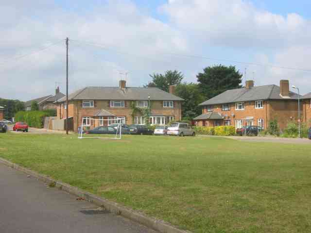
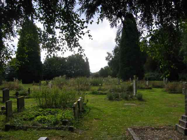
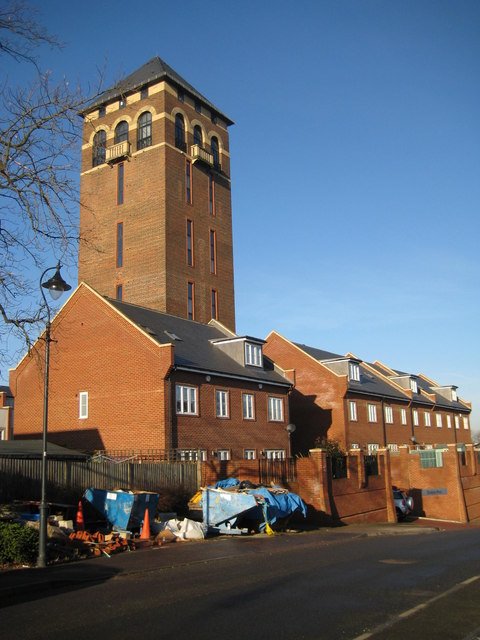
Cow Banks Wood Images
Images are sourced within 2km of 51.697143/-0.29338762 or Grid Reference TL1801. Thanks to Geograph Open Source API. All images are credited.


Cow Banks Wood is located at Grid Ref: TL1801 (Lat: 51.697143, Lng: -0.29338762)
Administrative County: Hertfordshire
District: Hertsmere
Police Authority: Hertfordshire
What 3 Words
///puppy.gravel.drove. Near Shenley, Hertfordshire
Nearby Locations
Related Wikis
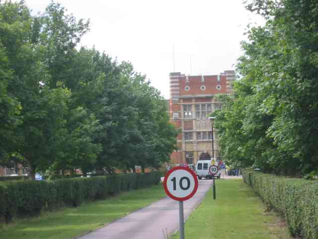
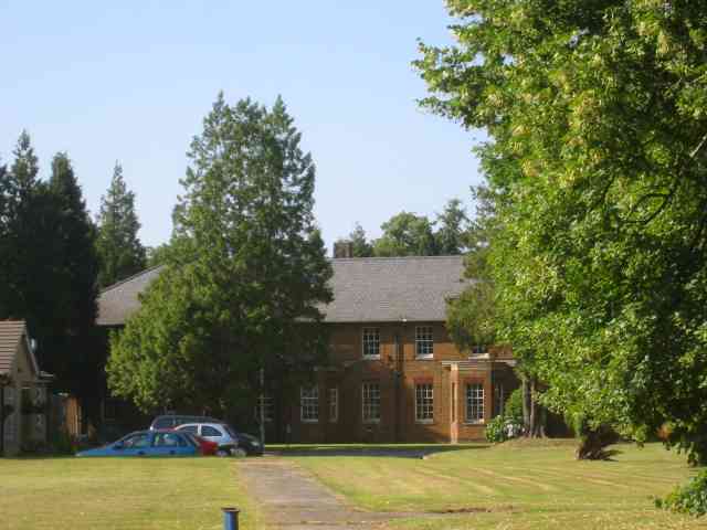
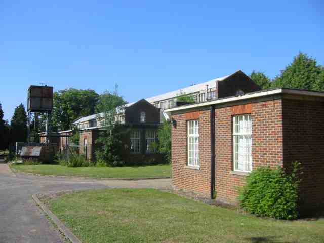
Shenley Hospital
Shenley Hospital was a psychiatric hospital at Shenley in Hertfordshire. It had two sister institutions, Harperbury Hospital and Napsbury Hospital, within...
Watling Chase Timberland Trail
The Watling Chase Timberland Trail is a 10.5 mile footpath in the Watling Chase Community Forest in Hertfordshire. It starts at Elstree & Borehamwood railway...

Watling Chase Community Forest
Watling Chase Community Forest is an area of 72 square miles located in north London and south Hertfordshire around the towns of Potters Bar, Radlett,...
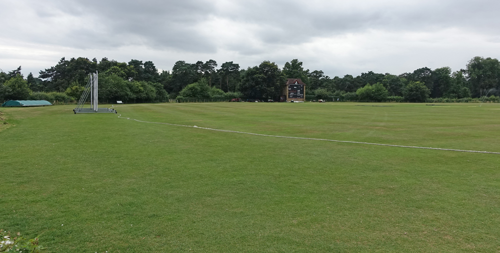
Denis Compton Oval
The Denis Compton Oval is a cricket ground located at the Shenley Cricket Centre in Shenley, Hertfordshire, England. The ground was opened by Denis Compton...
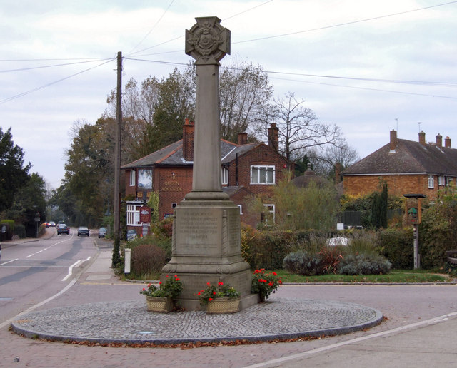
Shenley
Shenley is a village and civil parish in Hertfordshire, England, between Barnet and St Albans. The village is located 14 miles from Central London. As...
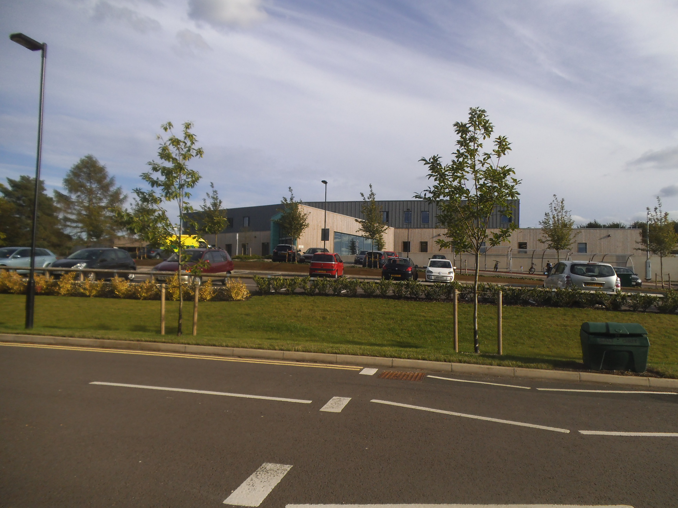
Kingsley Green
Kingsley Green is a mental health and learning disability site located in Hertfordshire, England, just southeast of the village of London Colney. Located...
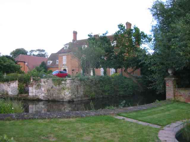
Shenley Hall
Shenley Hall is a Grade II listed English country house at Shenley in Hertfordshire. == History == Built in the 19th century, the hall benefited from additions...

Arsenal Training Centre
The Arsenal Training Centre, often referred to as its geographical location London Colney in Hertfordshire, is the training ground of Arsenal Football...
Nearby Amenities
Located within 500m of 51.697143,-0.29338762Have you been to Cow Banks Wood?
Leave your review of Cow Banks Wood below (or comments, questions and feedback).