Brampton Wood
Wood, Forest in Huntingdonshire Huntingdonshire
England
Brampton Wood

Brampton Wood, located in Huntingdonshire, is a prominent and ancient woodland that spans approximately 120 hectares. It is renowned for its exceptional biodiversity and historical significance. The wood is situated on the eastern side of the village of Brampton, near Huntingdon, in Cambridgeshire, England.
The woodland boasts a diverse range of tree species, including oak, ash, birch, and hazel, among others. These trees form a dense canopy that creates a unique and enchanting habitat for various flora and fauna. Brampton Wood is particularly known for its impressive display of bluebells during the spring season, attracting numerous nature enthusiasts and photographers.
The wood has a rich history that stretches back to prehistoric times. Evidence of human activity in the area dates back to the Bronze Age, with archaeological finds suggesting that the woodland has been continuously inhabited for thousands of years. The wood has also played a significant role in the local economy, serving as a source of timber and fuel for centuries.
Today, Brampton Wood is owned and managed by the Wildlife Trust for Bedfordshire, Cambridgeshire, and Northamptonshire. It is a designated Site of Special Scientific Interest (SSSI) and a nature reserve, reflecting its importance for wildlife conservation. The wood supports a wide range of animal species, including deer, badgers, foxes, and a plethora of bird species.
Visitors to Brampton Wood can explore the numerous trails and footpaths that meander through the woodland, providing an opportunity to immerse oneself in the natural beauty and tranquility of this ancient forest.
If you have any feedback on the listing, please let us know in the comments section below.
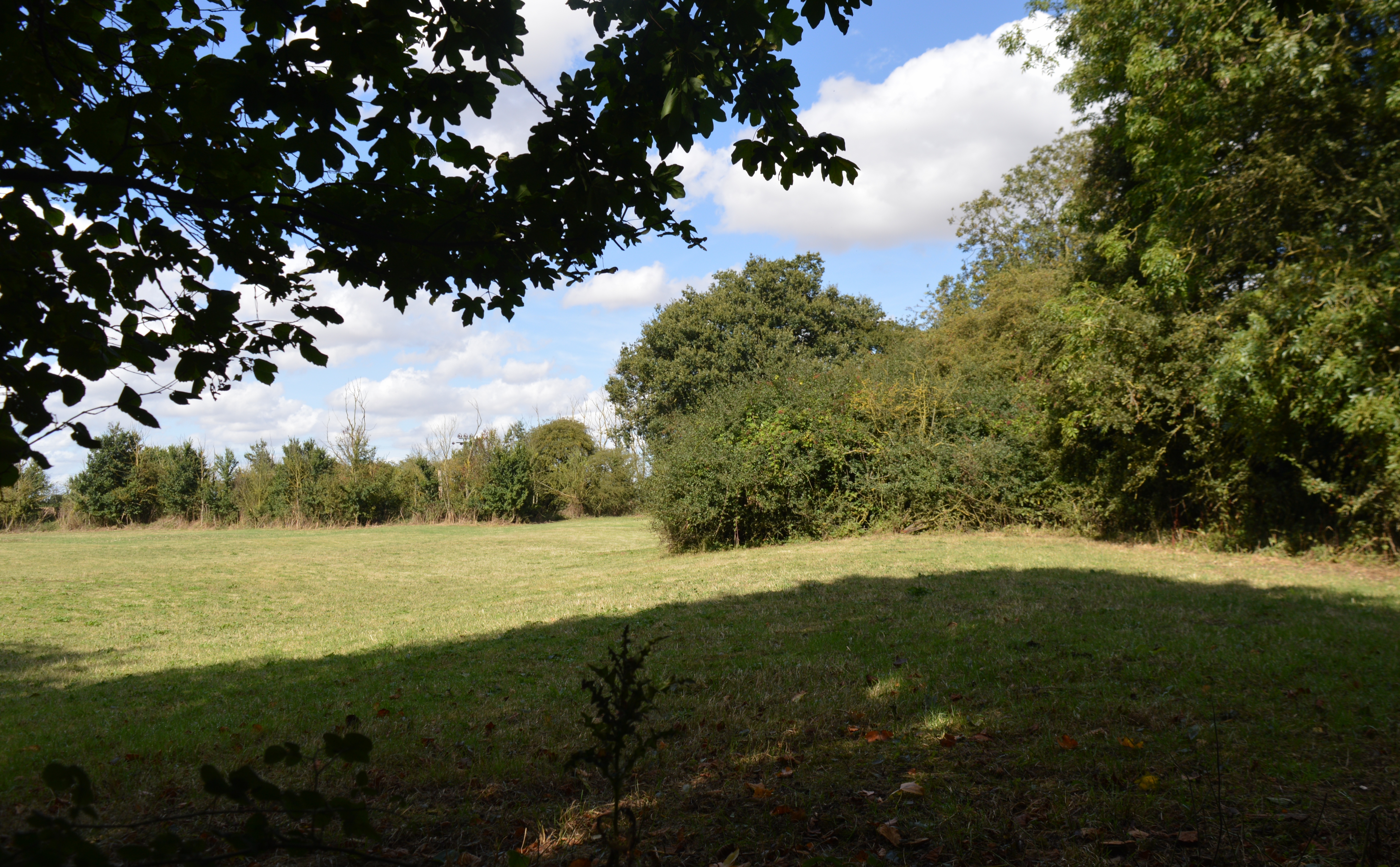
Brampton Wood Images
Images are sourced within 2km of 52.316996/-0.26961341 or Grid Reference TL1870. Thanks to Geograph Open Source API. All images are credited.


Brampton Wood is located at Grid Ref: TL1870 (Lat: 52.316996, Lng: -0.26961341)
Administrative County: Cambridgeshire
District: Huntingdonshire
Police Authority: Cambridgeshire
What 3 Words
///juggled.hiding.cuddling. Near Buckden, Cambridgeshire
Nearby Locations
Related Wikis
Brampton Wood
Brampton Wood is a 132.1-hectare (326-acre) biological Site of Special Scientific Interest in Cambridgeshire. The site is west of Brampton in Cambridgeshire...
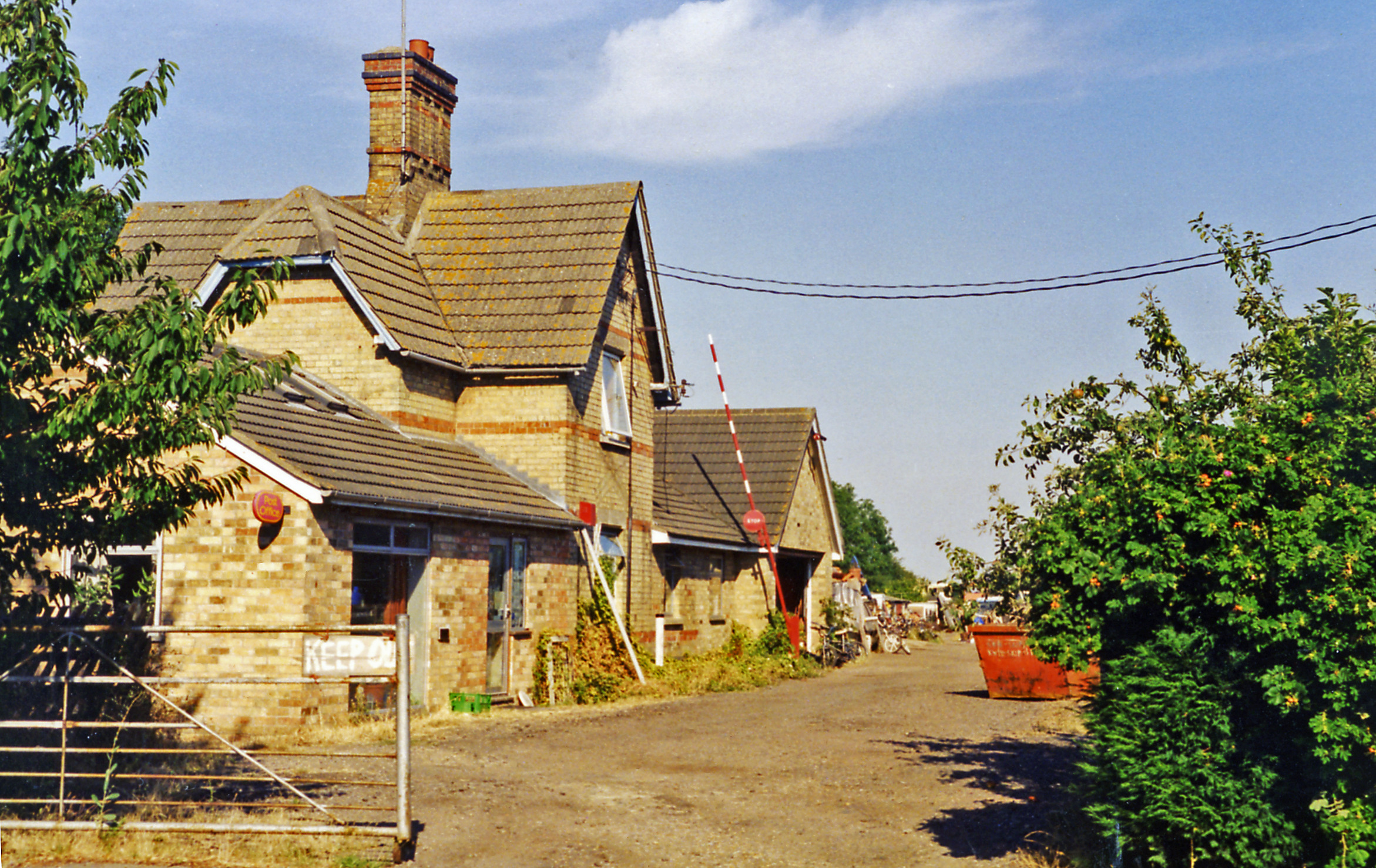
Grafham railway station
Grafham railway station was a railway station in Grafham, Cambridgeshire. The station and its line closed in 1959.In the 1990s the railway station buildings...
Grafham, Cambridgeshire
Grafham is a village and civil parish in Cambridgeshire, England. Grafham lies approximately 5 miles (8 km) south-west of Huntingdon. Grafham is situated...
Brampton Meadow
Brampton Meadow is a one hectare biological Site of Special Scientific Interest north-west of Brampton in Cambridgeshire, England.The site has a rich variety...
Nearby Amenities
Located within 500m of 52.316996,-0.26961341Have you been to Brampton Wood?
Leave your review of Brampton Wood below (or comments, questions and feedback).