Bean Wood
Wood, Forest in Bedfordshire
England
Bean Wood
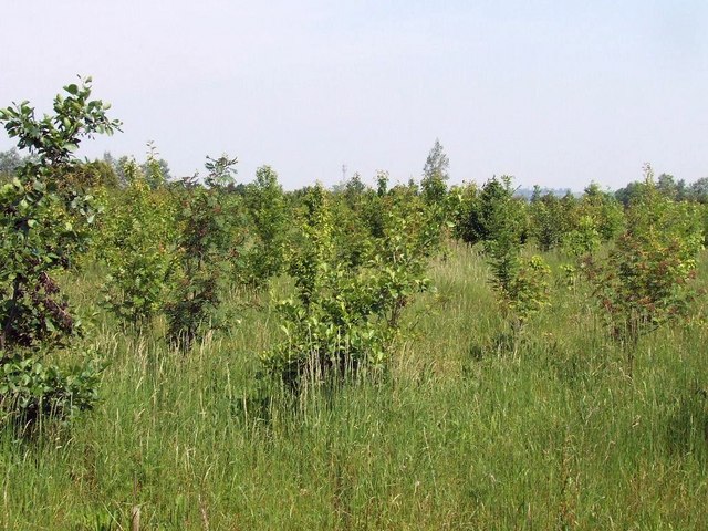
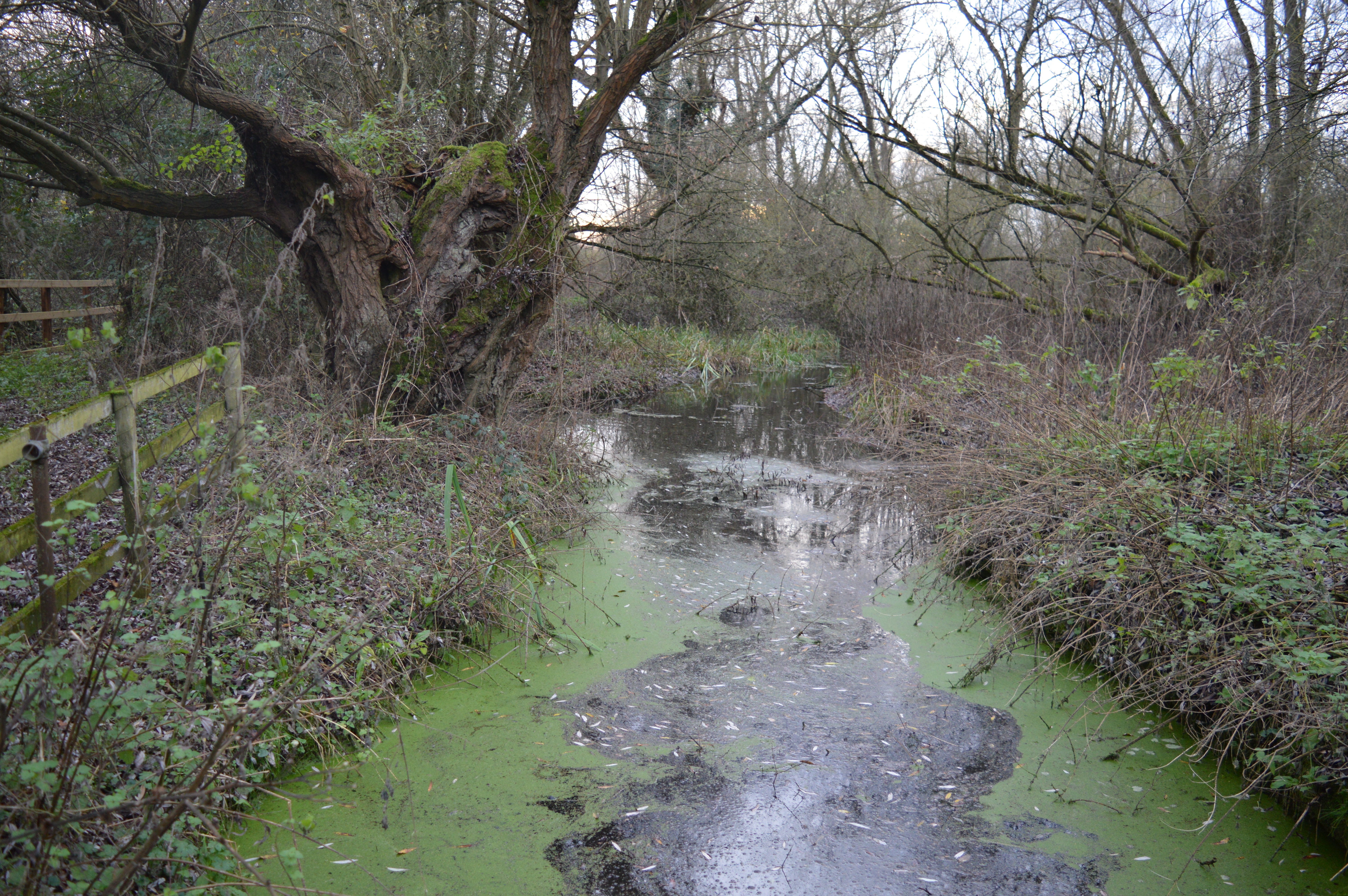
Bean Wood is a picturesque forest located in the county of Bedfordshire, England. Spanning approximately 100 acres, the woodland is nestled within the wider Greensand Ridge area, known for its natural beauty and rich biodiversity. The forest is easily accessible, situated just a few miles southwest of the town of Bedford.
Bean Wood is predominantly comprised of native broadleaf trees, such as oak, beech, and ash, which create a dense canopy overhead. This lush woodland provides a habitat for a diverse range of flora and fauna, making it a popular spot for nature enthusiasts and wildlife watchers.
The forest is crisscrossed by a network of well-maintained footpaths, allowing visitors to explore its enchanting surroundings. These trails wind through the woodland, offering glimpses of wildflowers, mushrooms, and a variety of wildlife. Birdwatchers can spot numerous species, including woodpeckers, tits, and warblers, among others.
The tranquil atmosphere of Bean Wood makes it an ideal destination for those seeking solace in nature. The forest's peaceful ambience, combined with its secluded location away from major roads, ensures a serene experience for visitors. Nature lovers can relish in the tranquility of the woodland, immersing themselves in its beauty and rejuvenating their senses.
Bean Wood is managed by the local authorities, who strive to conserve its natural heritage and protect its wildlife. As such, it is advised for visitors to adhere to the guidelines set by the Bedfordshire countryside management team, such as refraining from littering and keeping dogs on a leash to preserve the forest's pristine environment.
In conclusion, Bean Wood in Bedfordshire is a delightful forest that offers a haven of natural beauty and tranquility. With its ancient trees, diverse wildlife, and well-maintained trails, it is an idyllic destination for nature lovers and outdoor enthusiasts alike.
If you have any feedback on the listing, please let us know in the comments section below.
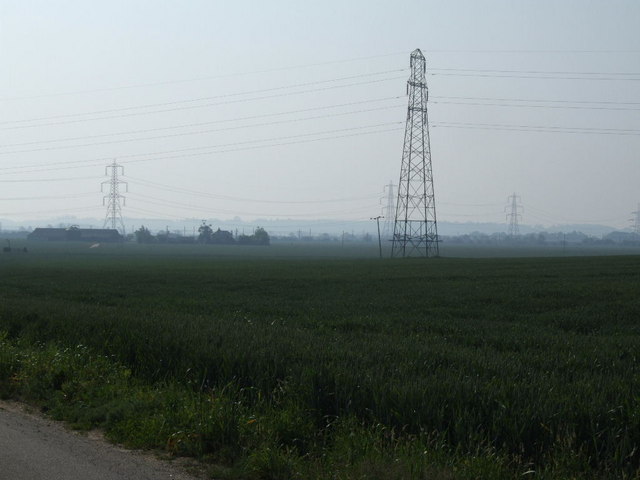
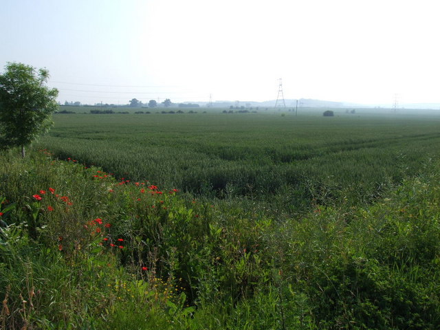
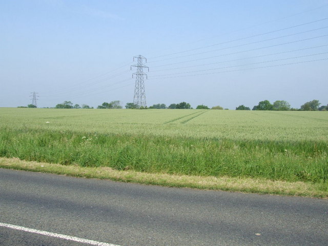
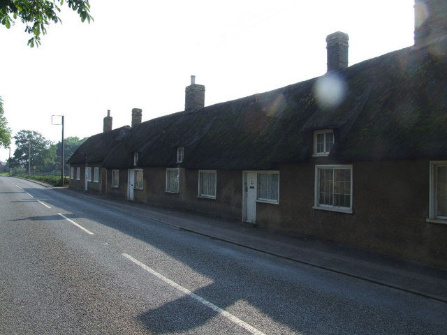
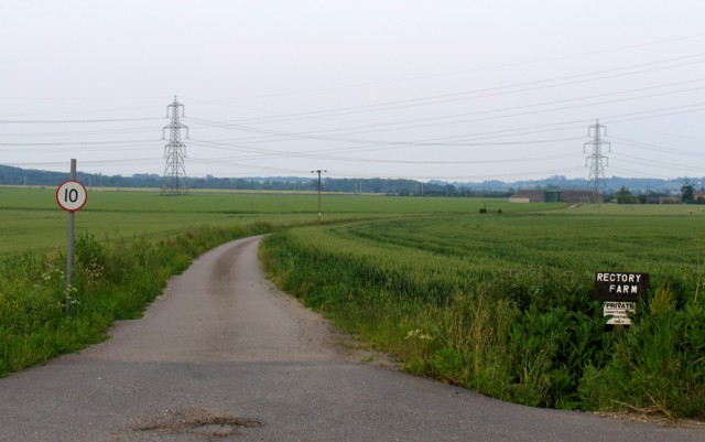
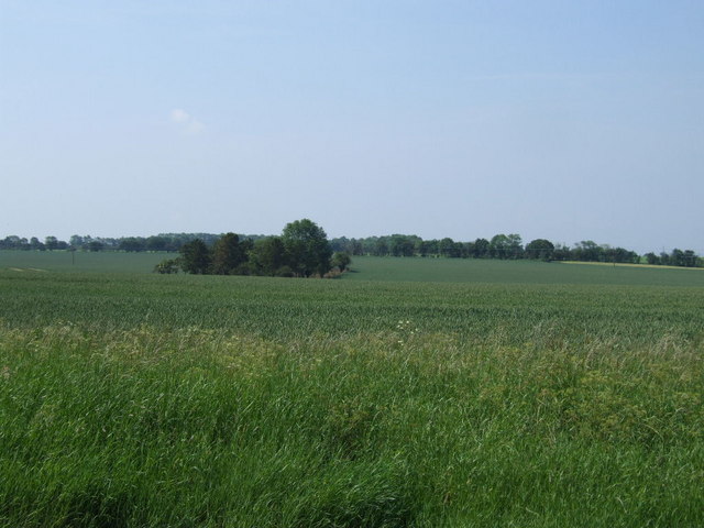
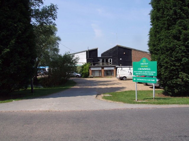
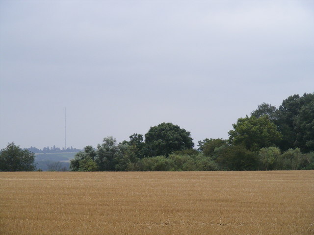
Bean Wood Images
Images are sourced within 2km of 52.190798/-0.27173812 or Grid Reference TL1856. Thanks to Geograph Open Source API. All images are credited.


Bean Wood is located at Grid Ref: TL1856 (Lat: 52.190798, Lng: -0.27173812)
Unitary Authority: Bedford
Police Authority: Bedfordshire
What 3 Words
///loose.prouder.flaked. Near Little Barford, Bedfordshire
Nearby Locations
Related Wikis

Little Barford
Little Barford is a hamlet and civil parish in the Borough of Bedford in Bedfordshire, England about 7 miles (11 km) northeast of the county town of Bedford...

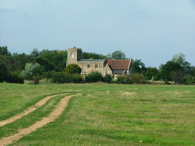
St Denys' Church, Little Barford
St Denys' Church is a redundant Anglican church in the village of Little Barford, Bedfordshire, England. It is recorded in the National Heritage List...
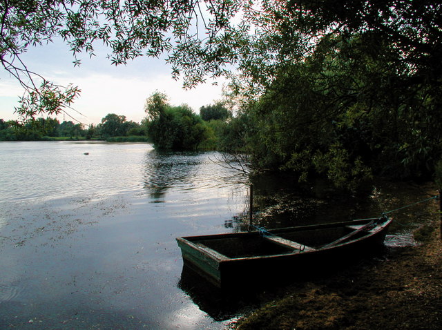
Begwary Brook
Begwary Brook in Bedfordshire is a four mile long tributary of the River Great Ouse. Its source is half a mile north of Duck's Cross, and it then flows...
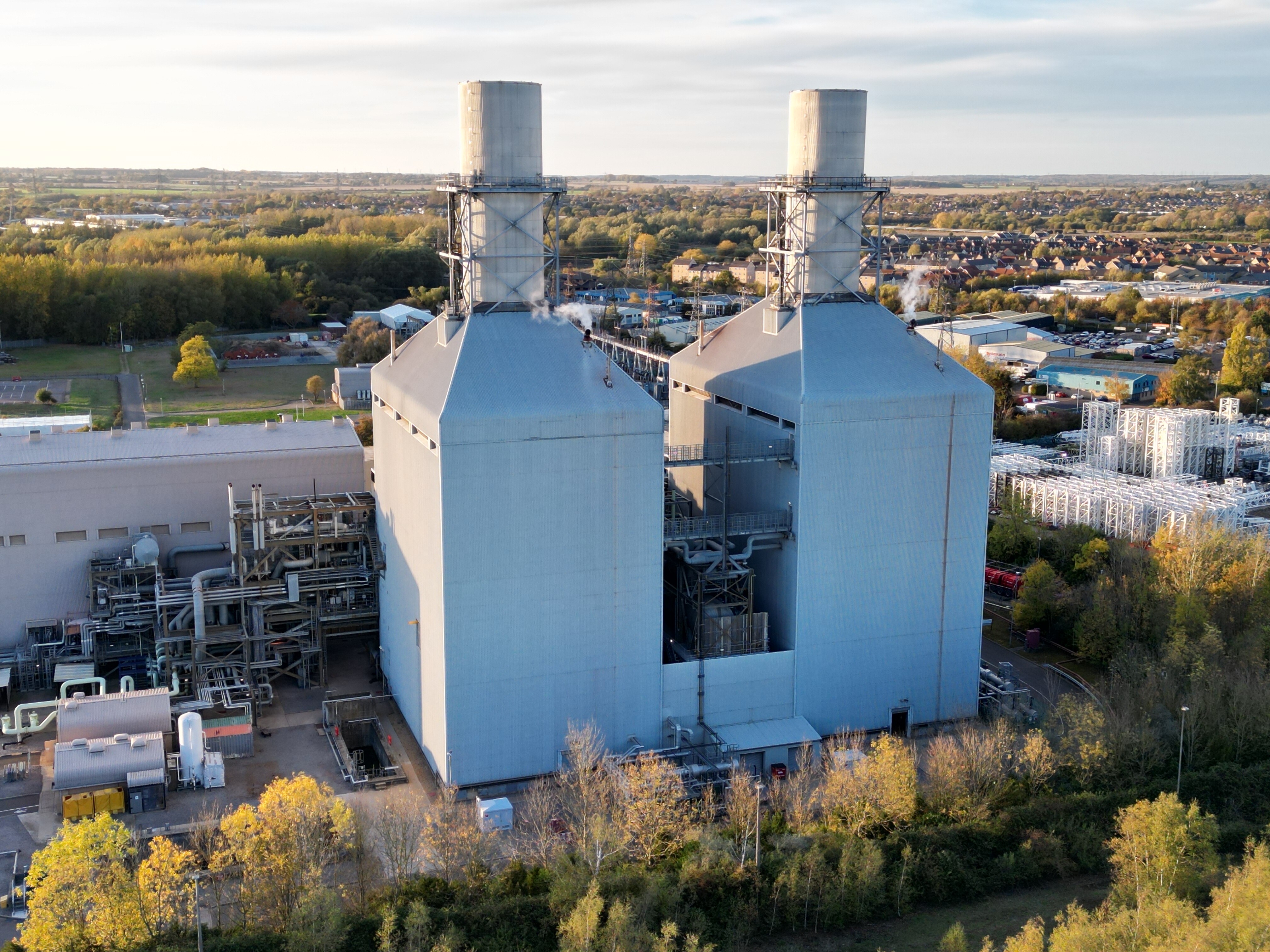
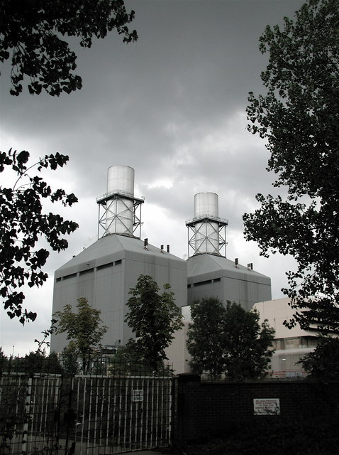
Little Barford Power Station
Little Barford Power Station is a gas-fired power station just north of the village of Little Barford (close to St Neots) in Bedfordshire, England. It...
Nearby Amenities
Located within 500m of 52.190798,-0.27173812Have you been to Bean Wood?
Leave your review of Bean Wood below (or comments, questions and feedback).