Barford, Little
Settlement in Bedfordshire
England
Barford, Little

Barford is a small village located in the county of Bedfordshire, England. Situated in the south of the county, it falls within the administrative district of Central Bedfordshire. The village is part of the civil parish of Clifton and is positioned approximately 5 miles south of the town of Bedford.
Barford is a picturesque village with a population of around 500 residents. It is surrounded by beautiful countryside, offering stunning views and a tranquil atmosphere. The village itself is characterized by a mix of traditional stone cottages and more modern houses, giving it a charming and diverse architectural appeal.
The village is well-served by amenities, including a local pub, a village hall, and a primary school. It benefits from good transport links, with the A6 road passing nearby, providing easy access to surrounding towns and cities. Additionally, the village is served by regular bus services, connecting it to neighboring areas.
Barford is a close-knit community, with various community events taking place throughout the year. These events often include village fairs, charity fundraisers, and social gatherings, which help foster a strong sense of community spirit.
The surrounding area provides ample opportunities for outdoor activities, with numerous walking and cycling routes available. The nearby River Great Ouse also offers the chance for boating and fishing enthusiasts to enjoy their hobbies.
In conclusion, Barford is a charming and peaceful village in Bedfordshire, offering a picturesque setting, a range of amenities, and a close-knit community.
If you have any feedback on the listing, please let us know in the comments section below.
Barford, Little Images
Images are sourced within 2km of 52.19723/-0.274612 or Grid Reference TL1856. Thanks to Geograph Open Source API. All images are credited.


![Roundabout exit at Eaton Socon The A428 meets the A1 [entering from the immediate left], and the left leads to a small commercial area, which is a cul-de-sac, and includes The Crown.](https://s3.geograph.org.uk/geophotos/07/53/12/7531231_d23a1844.jpg)


Barford, Little is located at Grid Ref: TL1856 (Lat: 52.19723, Lng: -0.274612)
Unitary Authority: Bedford
Police Authority: Bedfordshire
What 3 Words
///worksheet.lingering.harmlessly. Near Little Barford, Bedfordshire
Nearby Locations
Related Wikis

Little Barford
Little Barford is a hamlet and civil parish in the Borough of Bedford in Bedfordshire, England about 7 miles (11 km) northeast of the county town of Bedford...

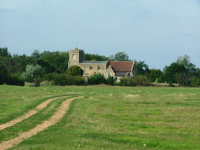
St Denys' Church, Little Barford
St Denys' Church is a redundant Anglican church in the village of Little Barford, Bedfordshire, England. It is recorded in the National Heritage List...
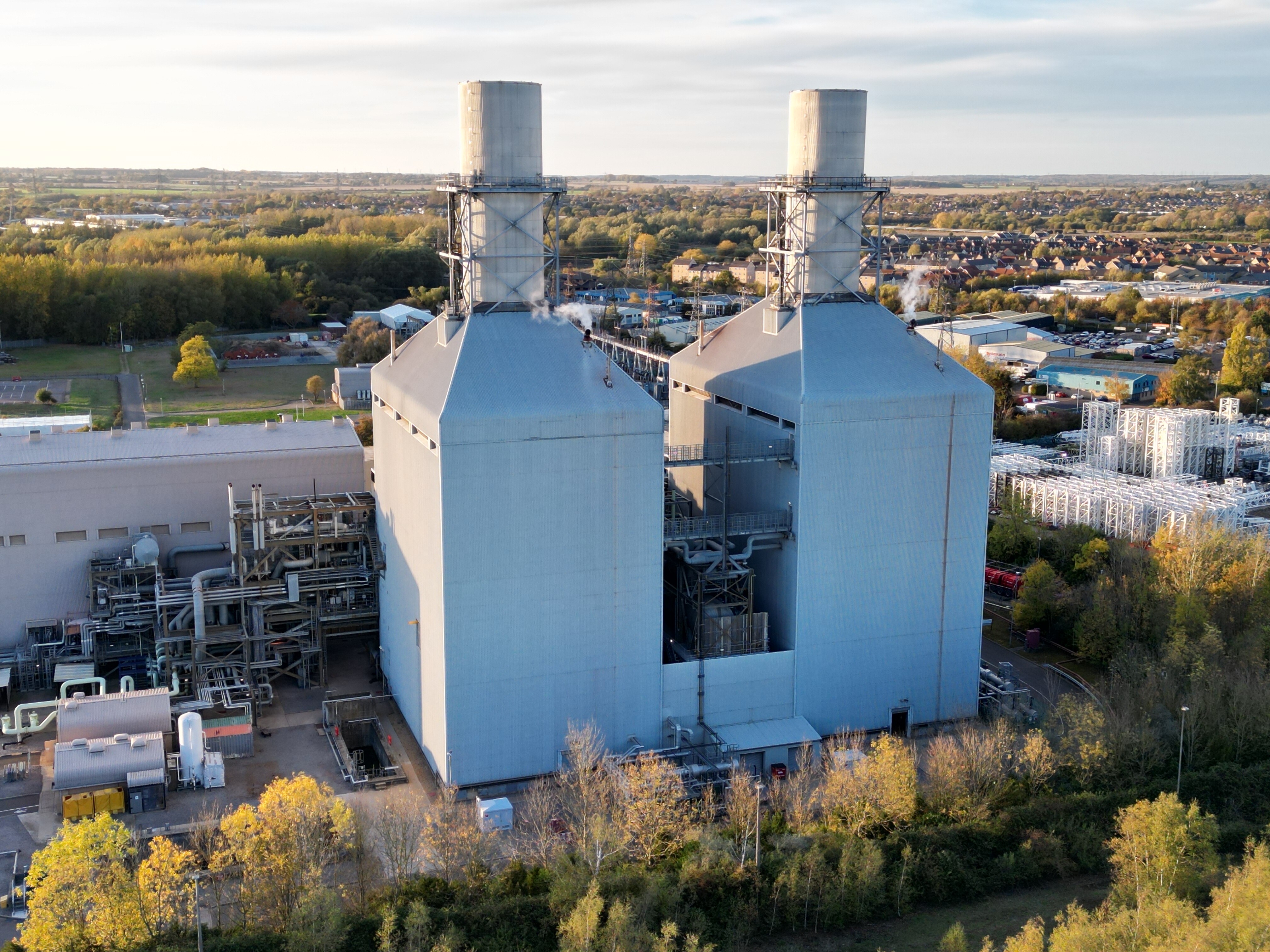
Little Barford Power Station
Little Barford Power Station is a gas-fired power station just north of the village of Little Barford (close to St Neots) in Bedfordshire, England. It...
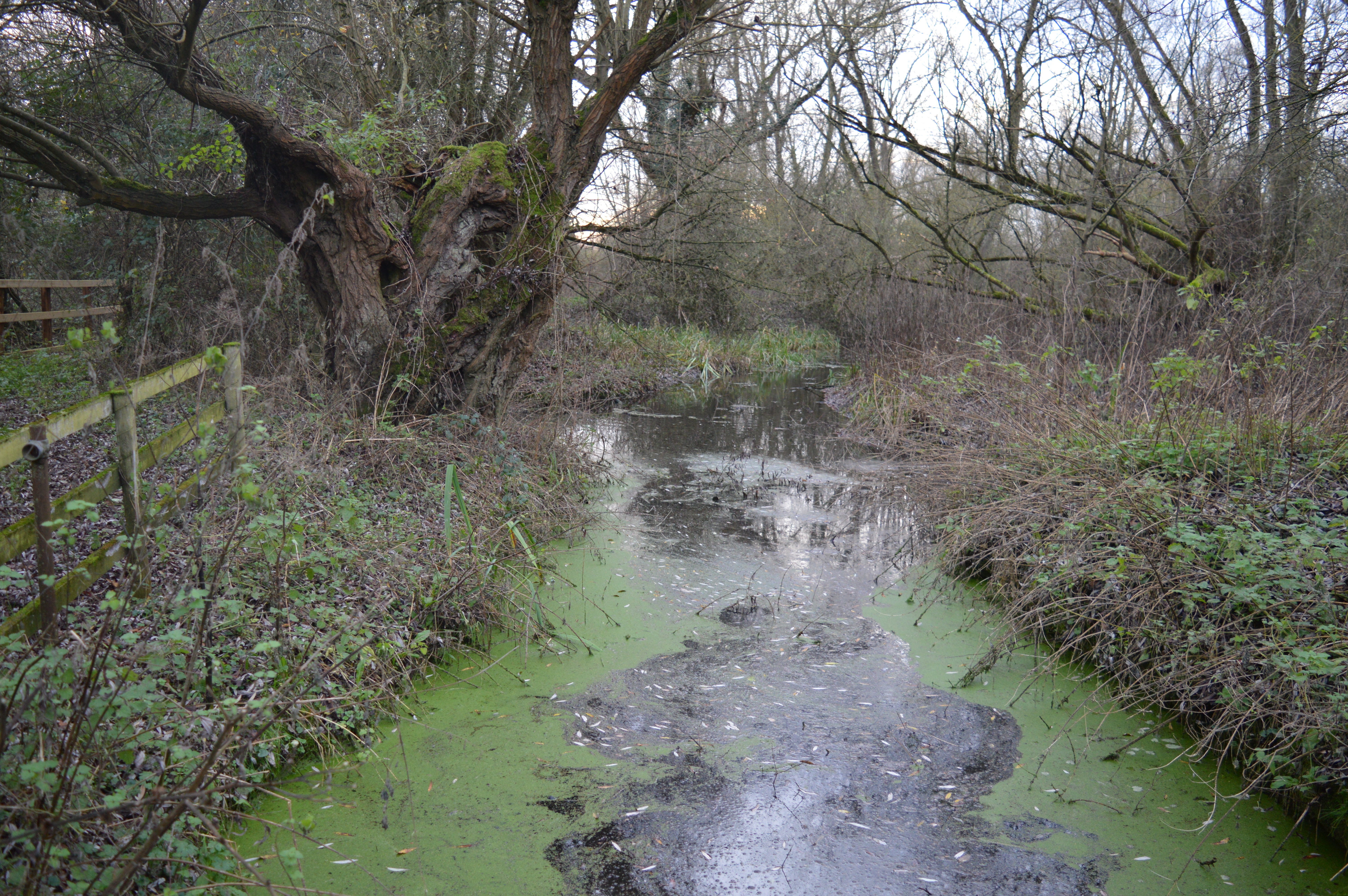
Begwary Brook
Begwary Brook in Bedfordshire is a four mile long tributary of the River Great Ouse. Its source is half a mile north of Duck's Cross, and it then flows...
Nearby Amenities
Located within 500m of 52.19723,-0.274612Have you been to Barford, Little?
Leave your review of Barford, Little below (or comments, questions and feedback).