Lower Moor Plantation
Wood, Forest in Yorkshire
England
Lower Moor Plantation
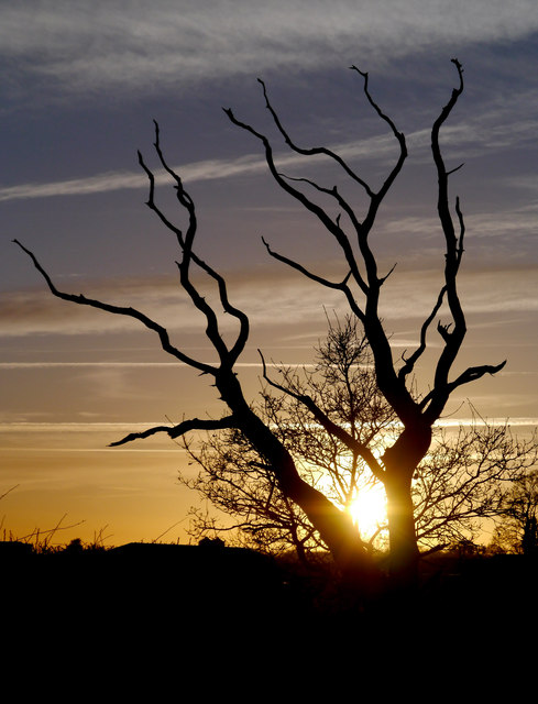
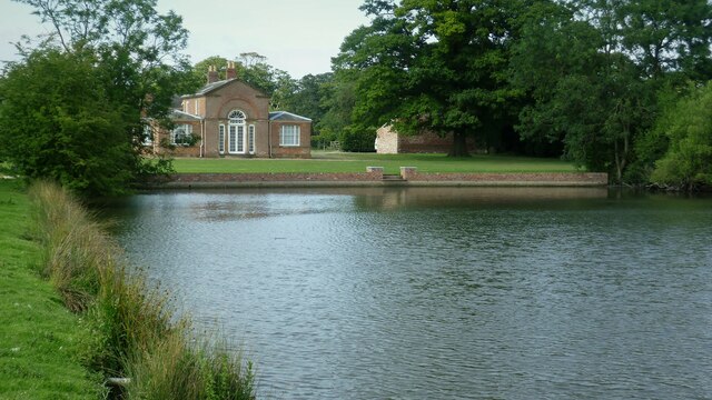
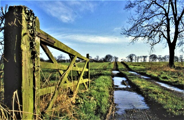
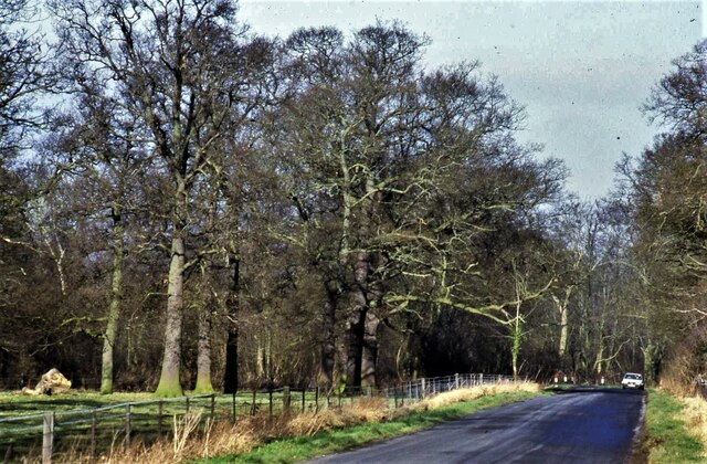
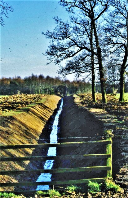
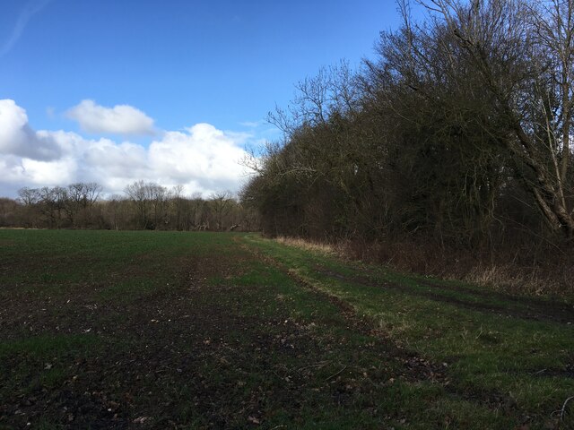
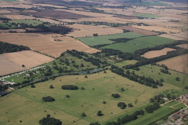
Lower Moor Plantation is a picturesque woodland located in the county of Yorkshire, England. Situated in the heart of the Yorkshire Dales National Park, this enchanting forest covers an area of approximately 100 hectares. It is renowned for its diverse range of plant and animal species, making it a popular destination for nature enthusiasts and hikers alike.
The plantation is predominantly composed of deciduous and coniferous trees, creating a stunning blend of colors throughout the seasons. Towering oak and beech trees provide a canopy of shade, while spruce and pine trees add to the woodland's charm. The forest floor is carpeted with a variety of ferns, mosses, and wildflowers, creating a vibrant and ever-changing landscape.
Lower Moor Plantation is also home to a rich array of wildlife. Visitors may encounter deer, squirrels, and rabbits during their walks, while birdwatchers can spot a multitude of species, including woodpeckers, owls, and various migratory birds.
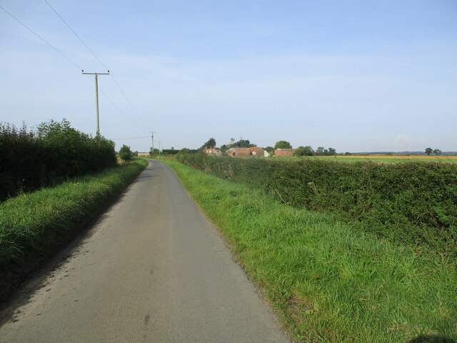
The forest offers a network of well-maintained trails and footpaths, making it a haven for walkers and cyclists. The paths wind through the woodland, providing stunning views of the surrounding countryside, including rolling hills and babbling brooks. The peaceful and tranquil atmosphere of Lower Moor Plantation offers visitors a chance to escape the hustle and bustle of everyday life and immerse themselves in the beauty of nature.
In conclusion, Lower Moor Plantation in Yorkshire is a captivating woodland that showcases the natural beauty of the region. With its diverse flora and fauna, scenic trails, and serene atmosphere, it is a must-visit destination for anyone seeking a peaceful retreat in the heart of nature.
If you have any feedback on the listing, please let us know in the comments section below.
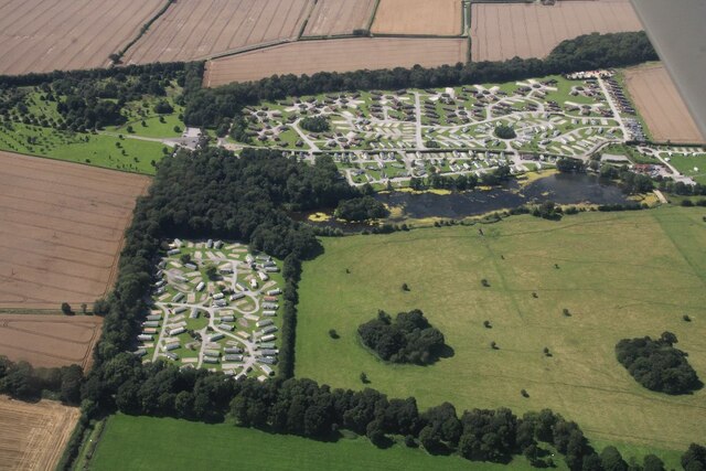
Lower Moor Plantation Images
Images are sourced within 2km of 53.820783/-0.19738054 or Grid Reference TA1837. Thanks to Geograph Open Source API. All images are credited.
Lower Moor Plantation is located at Grid Ref: TA1837 (Lat: 53.820783, Lng: -0.19738054)
Division: East Riding
Unitary Authority: East Riding of Yorkshire
Police Authority: Humberside
What 3 Words
///generated.comb.plants. Near Burton Constable, East Yorkshire
Nearby Locations
Related Wikis
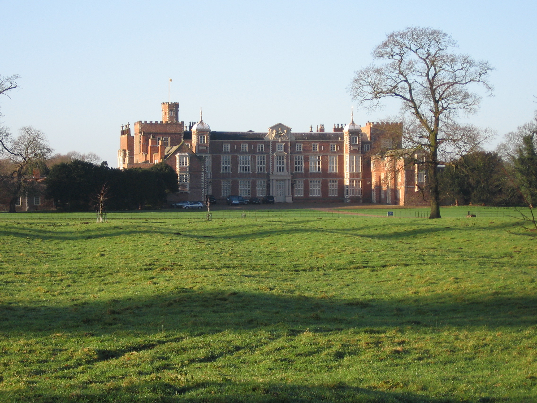
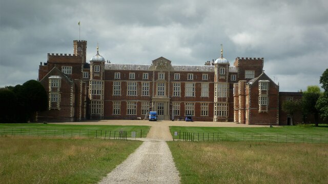
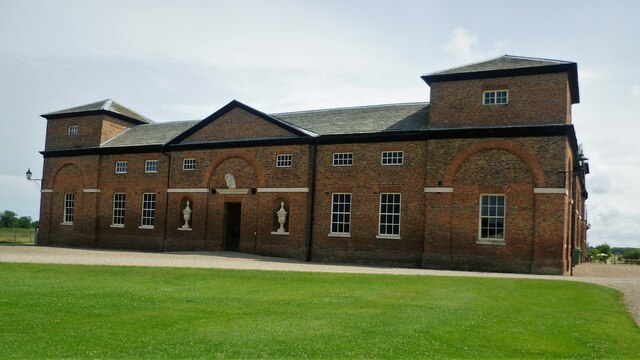
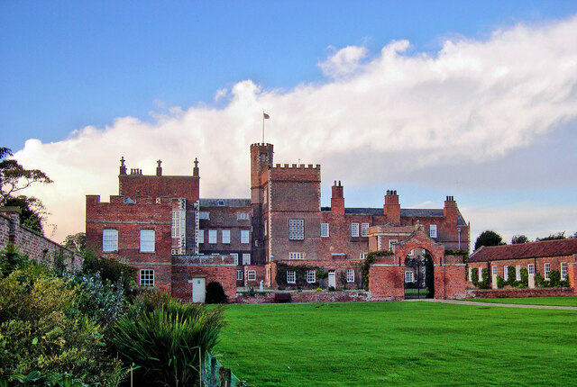
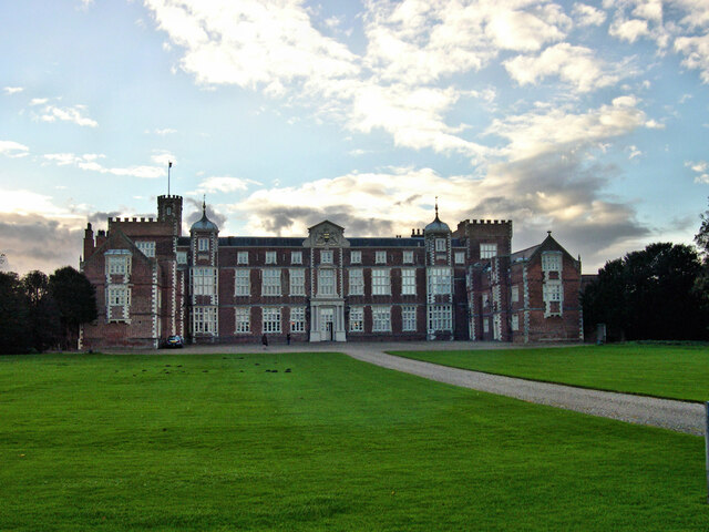
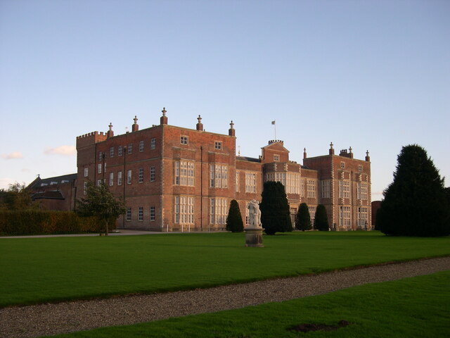
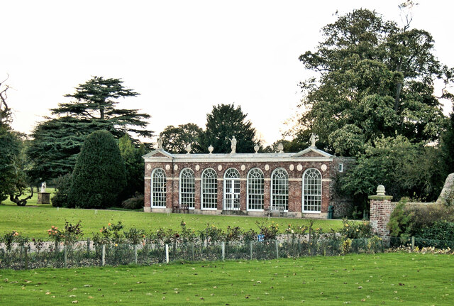
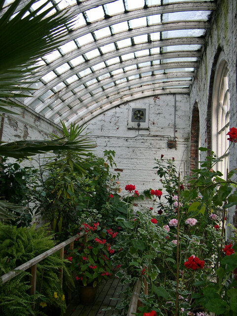
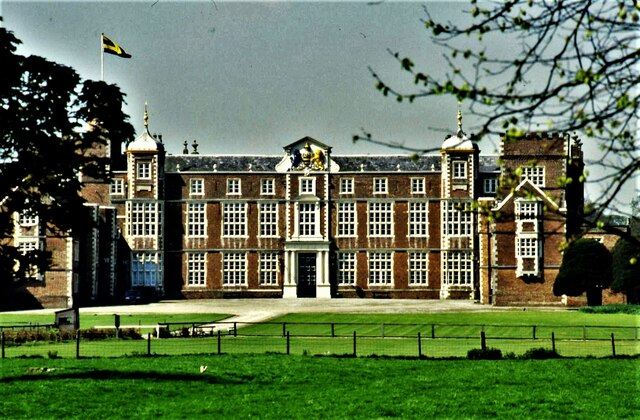
Burton Constable Hall
Burton Constable Hall is a large Elizabethan country house in England, with 18th- and 19th-century interiors and a fine 18th-century cabinet of curiosities...

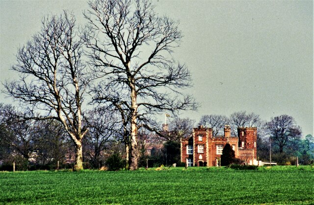
Burton Constable
Burton Constable is a village and civil parish in the East Riding of Yorkshire, England. It is located approximately 9 miles (14 km) north-east of Hull...

West Newton, East Riding of Yorkshire
West Newton is a hamlet in the East Riding of Yorkshire, England. It is situated approximately 9 miles (14 km) north-east of Hull city centre and 6 miles...

Old Ellerby
Old Ellerby is a hamlet in the East Riding of Yorkshire, England, in an area known as Holderness. It is situated approximately 7 miles (11 km) north-east...
Marton, East Riding of Yorkshire
Marton is a hamlet in the civil parish of Burton Constable, in the East Riding of Yorkshire, England, and in an area known as Holderness. It is situated...

Holderness
Holderness is an area of the East Riding of Yorkshire, on the north-east coast of England. An area of rich agricultural land, Holderness was marshland...

Burton Constable railway station
Burton Constable railway station was a railway station which served the villages of Marton and Burton Constable in the East Riding of Yorkshire, England...

Ellerby railway station
Ellerby railway station refers to either of two disused stations on the Hull and Hornsea Railway. They served the village of Old Ellerby in the East Riding...
Nearby Amenities
Located within 500m of 53.820783,-0.19738054Have you been to Lower Moor Plantation?
Leave your review of Lower Moor Plantation below (or comments, questions and feedback).