The Moors
Wood, Forest in Yorkshire
England
The Moors
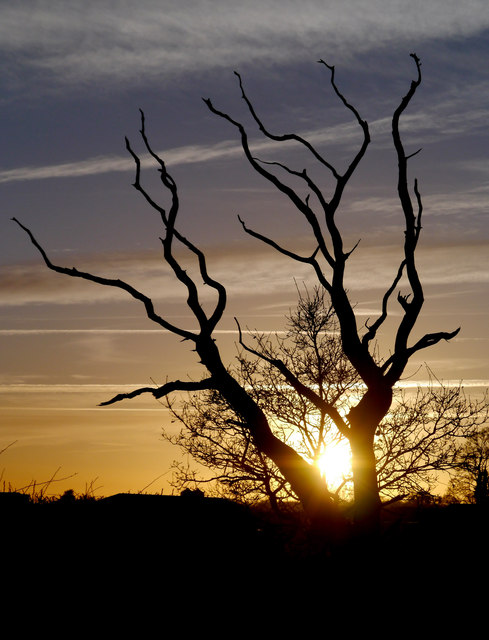
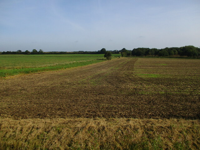
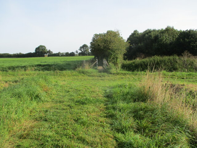
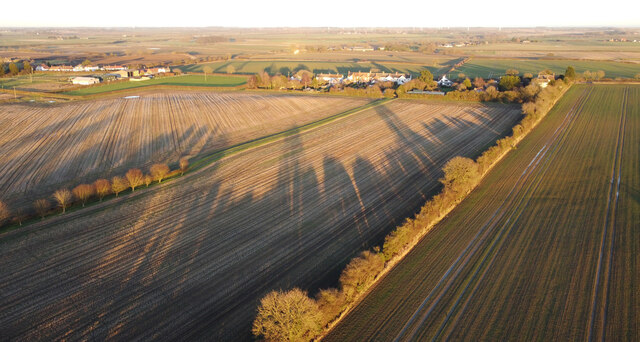
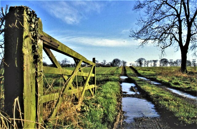
The Moors in Yorkshire, also known as the Yorkshire Moors or the North York Moors, is a vast expanse of upland moorland located in North Yorkshire, England. Covering an area of approximately 1,430 square kilometers (550 square miles), it is one of the largest continuous expanses of heather moorland in the United Kingdom.
Characterized by its wild and rugged beauty, the Moors offer a diverse landscape of rolling hills, dramatic cliffs, and deep valleys. The terrain is primarily composed of heather-covered moorland, interspersed with patches of woodland and scattered farmsteads. The area boasts a rich variety of flora and fauna, including heather, bilberry, and cotton grass, as well as a range of bird species such as curlews, lapwings, and golden plovers.
The Moors are often associated with their iconic stone-built structures, such as the traditional dry-stone walls and the ancient burial mounds known as "tumuli." These historical remnants provide a glimpse into the area's rich cultural heritage, which dates back thousands of years.
The Moors are a popular destination for outdoor enthusiasts and nature lovers, offering a plethora of activities. Visitors can enjoy walking or hiking along the numerous well-marked trails, including the famous 109-mile long Cleveland Way National Trail. The area is also home to several picturesque villages, such as Goathland, which served as the fictional village of Aidensfield in the TV series "Heartbeat."
Overall, the Moors in Yorkshire provide a unique and breathtaking landscape that captures the essence of England's natural beauty.
If you have any feedback on the listing, please let us know in the comments section below.
The Moors Images
Images are sourced within 2km of 53.823717/-0.19755849 or Grid Reference TA1837. Thanks to Geograph Open Source API. All images are credited.
The Moors is located at Grid Ref: TA1837 (Lat: 53.823717, Lng: -0.19755849)
Division: East Riding
Unitary Authority: East Riding of Yorkshire
Police Authority: Humberside
What 3 Words
///objecting.lost.graphic. Near Burton Constable, East Yorkshire
Nearby Locations
Related Wikis
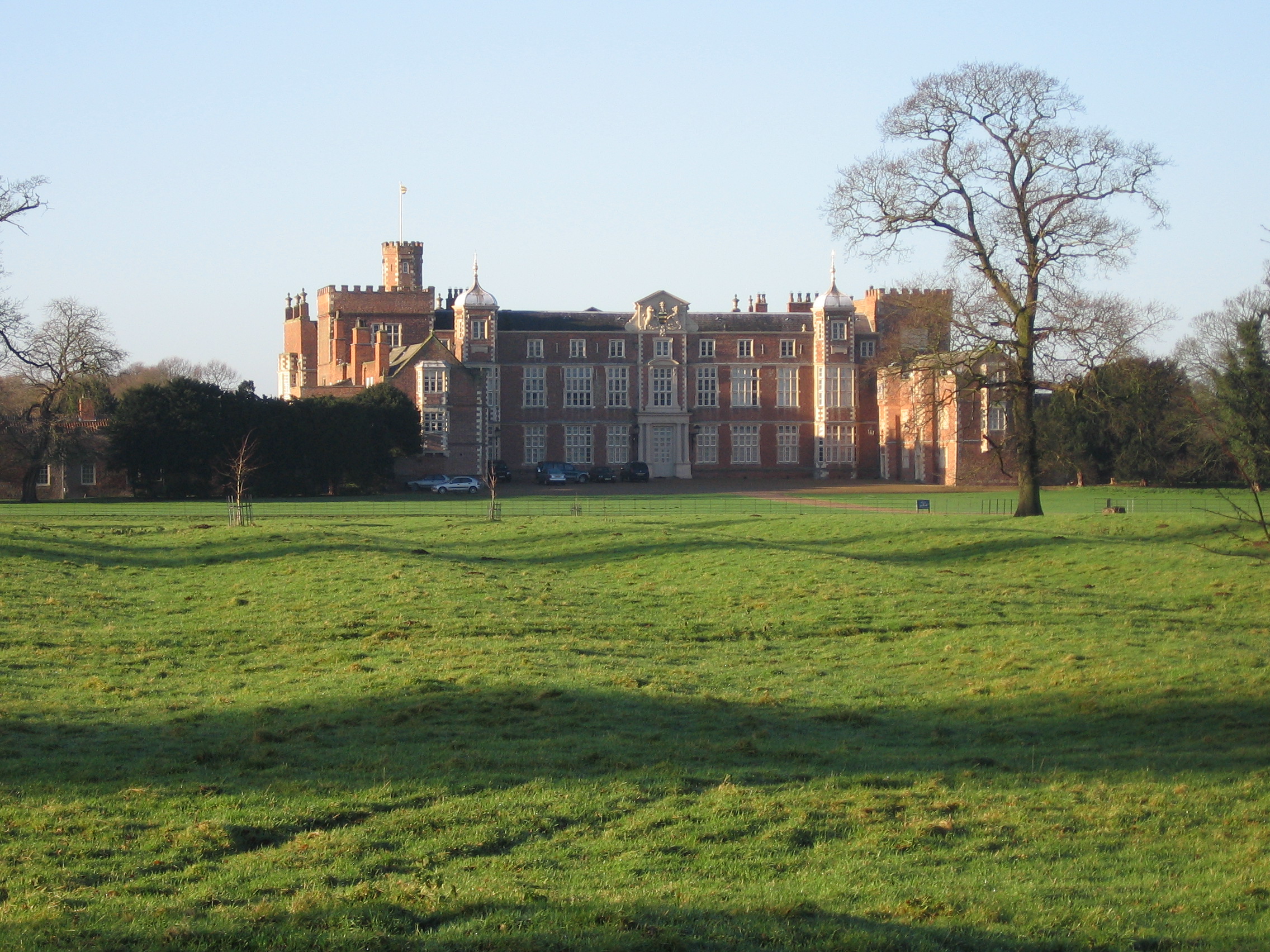
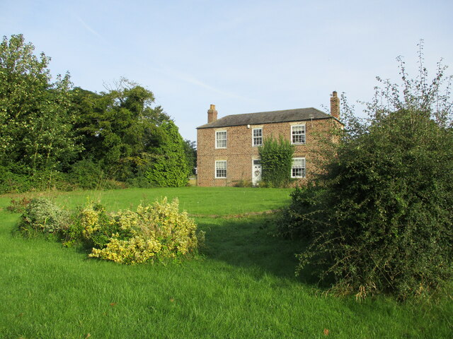
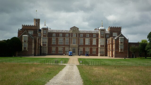
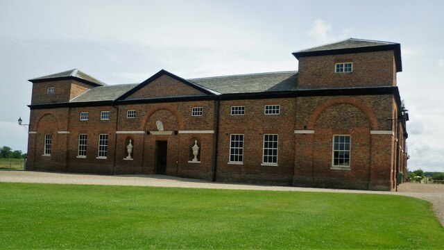
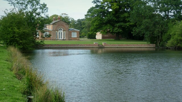
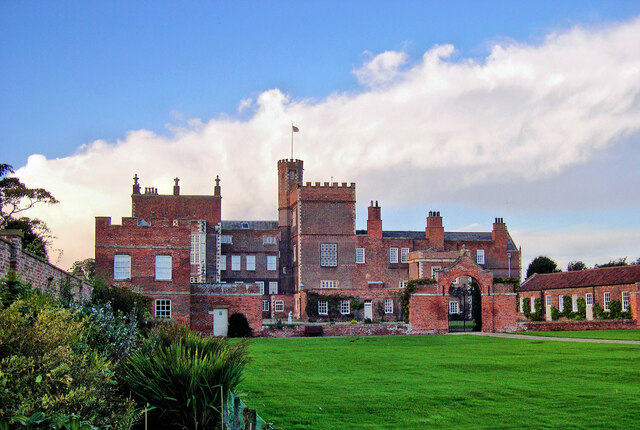
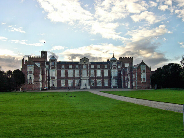
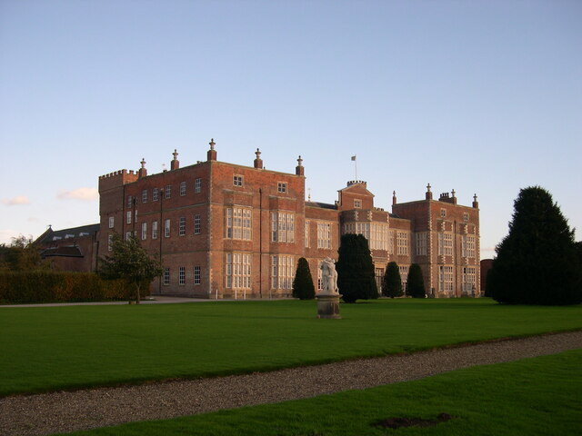
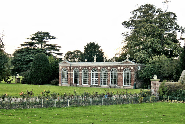
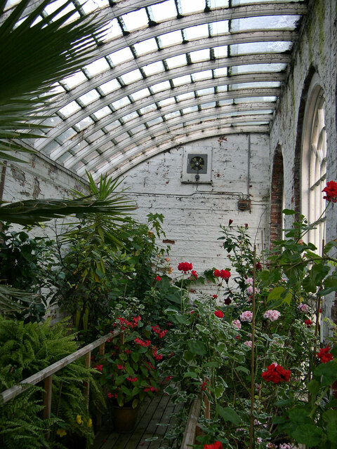
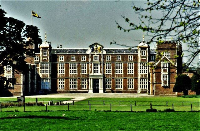
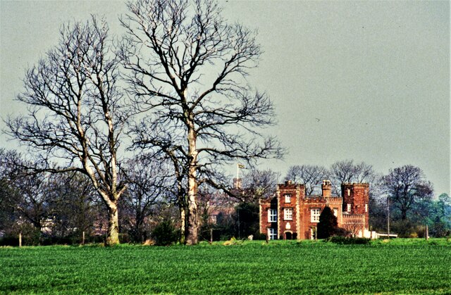
Burton Constable Hall
Burton Constable Hall is a large Elizabethan country house in England, with 18th- and 19th-century interiors and a fine 18th-century cabinet of curiosities...

Burton Constable
Burton Constable is a village and civil parish in the East Riding of Yorkshire, England. It is located approximately 9 miles (14 km) north-east of Hull...

West Newton, East Riding of Yorkshire
West Newton is a hamlet in the East Riding of Yorkshire, England. It is situated approximately 9 miles (14 km) north-east of Hull city centre and 6 miles...
Marton, East Riding of Yorkshire
Marton is a hamlet in the civil parish of Burton Constable, in the East Riding of Yorkshire, England, and in an area known as Holderness. It is situated...

Old Ellerby
Old Ellerby is a hamlet in the East Riding of Yorkshire, England, in an area known as Holderness. It is situated approximately 7 miles (11 km) north-east...

Holderness
Holderness is an area of the East Riding of Yorkshire, on the north-east coast of England. An area of rich agricultural land, Holderness was marshland...

Burton Constable railway station
Burton Constable railway station was a railway station which served the villages of Marton and Burton Constable in the East Riding of Yorkshire, England...
New Ellerby
New Ellerby is a hamlet in the East Riding of Yorkshire, England, in an area known as Holderness. It is situated approximately 8 miles (13 km) north-east...
Related Videos

Burton Constable Hall Vlog, East Yorkshire, UK
Having a little walk around Burton Constable Hall and Gardens in East Yorkshire. Please Like, Comment and Subscribe, It really ...
ELLERBY: East Riding of Yorkshire Parish #120 of 172
EAST RIDING OF YORKSHIRE PARISH #120: ELLERBY Welcome all to the parish of Ellerby which lies between Skirlaugh and ...
An Evening At Burton Constable
An Evening At Burton Constable Hall with carol sing and all the rooms decorated and ready for x-mas. Help Support this Channel.

BURTON CONSTABLE: East Riding of Yorkshire Parish #126 of 172
EAST RIDING OF YORKSHIRE PARISH #126: BURTON CONSTABLE Welcome back to the East Riding folks – and yes, you are ...
Nearby Amenities
Located within 500m of 53.823717,-0.19755849Have you been to The Moors?
Leave your review of The Moors below (or comments, questions and feedback).