Higher Moor Plantation
Wood, Forest in Yorkshire
England
Higher Moor Plantation
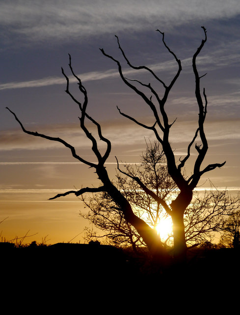
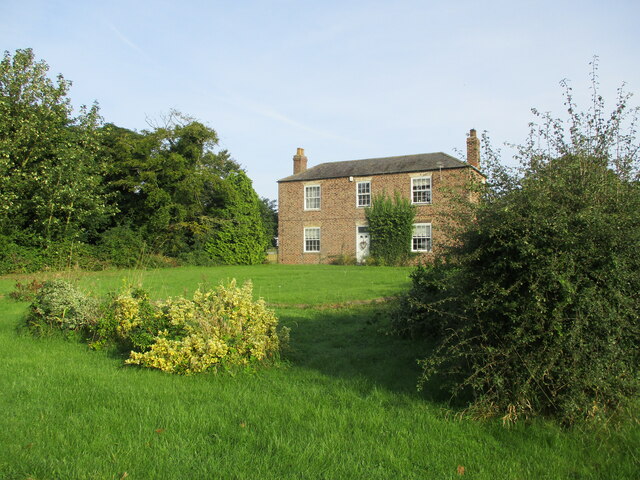
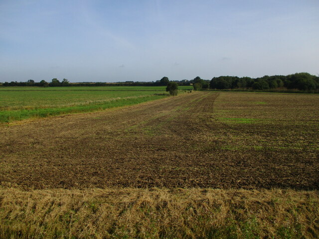
Higher Moor Plantation is a picturesque woodland located in Yorkshire, England. This well-preserved plantation covers a vast area of approximately 500 acres, offering visitors a serene and tranquil escape from the hustle and bustle of city life.
The plantation is primarily composed of native woodland species, including oak, beech, and birch trees, creating a diverse and thriving ecosystem. The woodlands are home to a wide range of flora and fauna, making it a haven for nature enthusiasts and wildlife lovers.
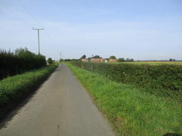
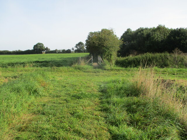
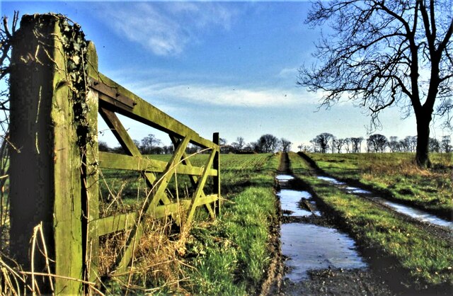
Visitors to Higher Moor Plantation can enjoy a network of well-maintained footpaths and trails that meander through the woodland, allowing for leisurely walks and exploration. These paths offer stunning views of the surrounding countryside and provide an opportunity to observe the various bird species, small mammals, and insects that inhabit the area.
The plantation also features a designated picnic area, where visitors can relax and enjoy a packed lunch amidst the natural beauty of the woodlands. Additionally, there are several benches strategically placed throughout the plantation, providing perfect spots to rest and take in the peaceful ambiance.
Higher Moor Plantation is open to the public throughout the year, with no admission fee. It is well-managed and regularly maintained by a team of conservationists, ensuring the preservation of its natural beauty for future generations to enjoy.
Overall, Higher Moor Plantation is a hidden gem in Yorkshire, offering a delightful experience for nature lovers, hikers, and anyone seeking solace in the great outdoors.
If you have any feedback on the listing, please let us know in the comments section below.
Higher Moor Plantation Images
Images are sourced within 2km of 53.824334/-0.19917289 or Grid Reference TA1837. Thanks to Geograph Open Source API. All images are credited.
Higher Moor Plantation is located at Grid Ref: TA1837 (Lat: 53.824334, Lng: -0.19917289)
Division: East Riding
Unitary Authority: East Riding of Yorkshire
Police Authority: Humberside
What 3 Words
///showcase.countries.liked. Near Burton Constable, East Yorkshire
Nearby Locations
Related Wikis

Burton Constable
Burton Constable is a village and civil parish in the East Riding of Yorkshire, England. It is located approximately 9 miles (14 km) north-east of Hull...
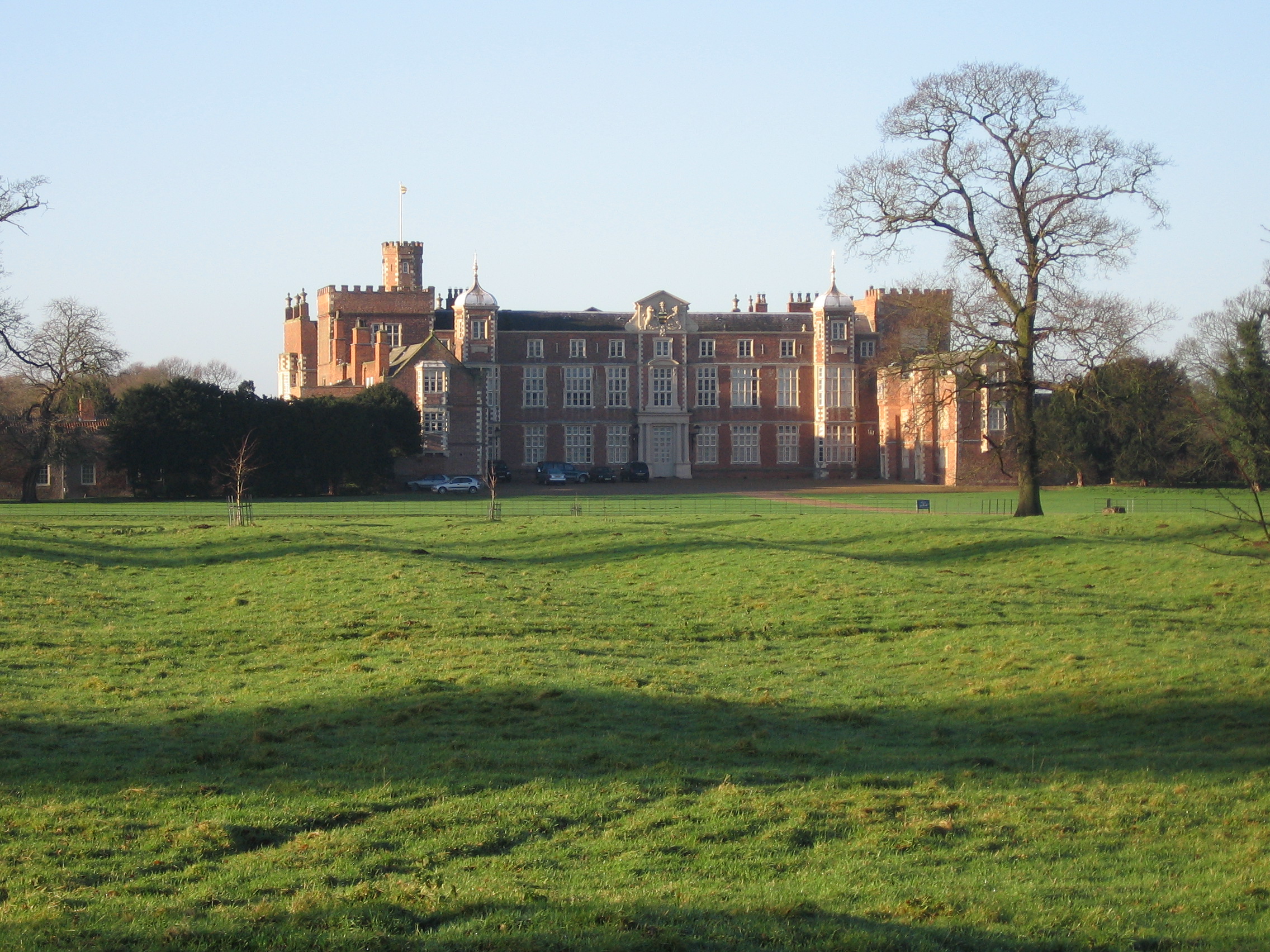
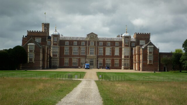
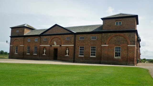
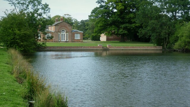
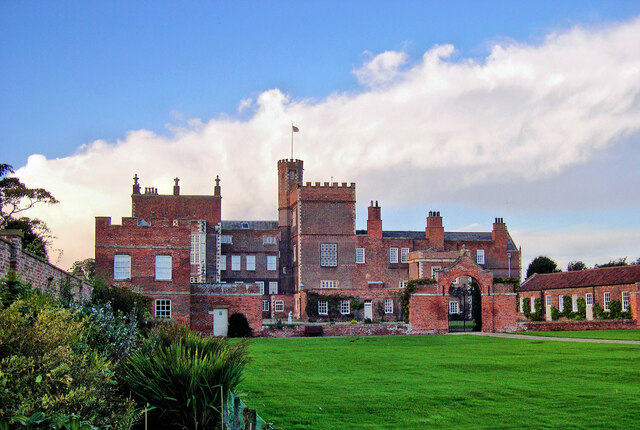
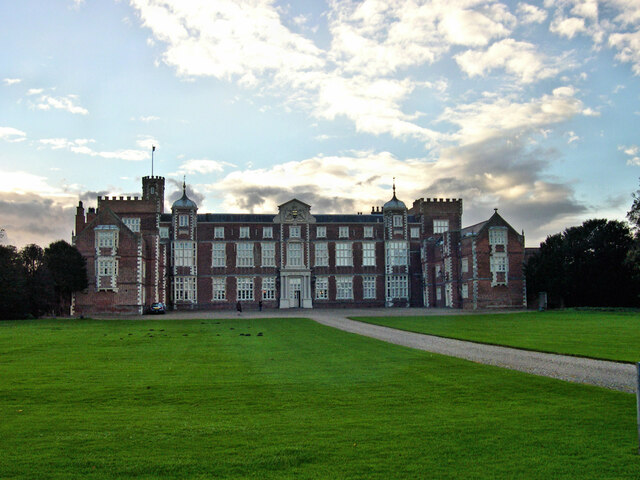
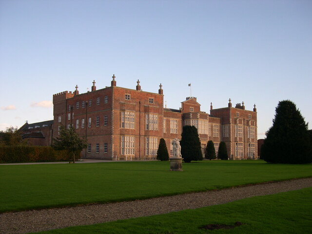
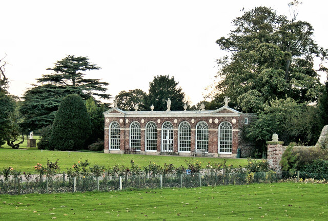
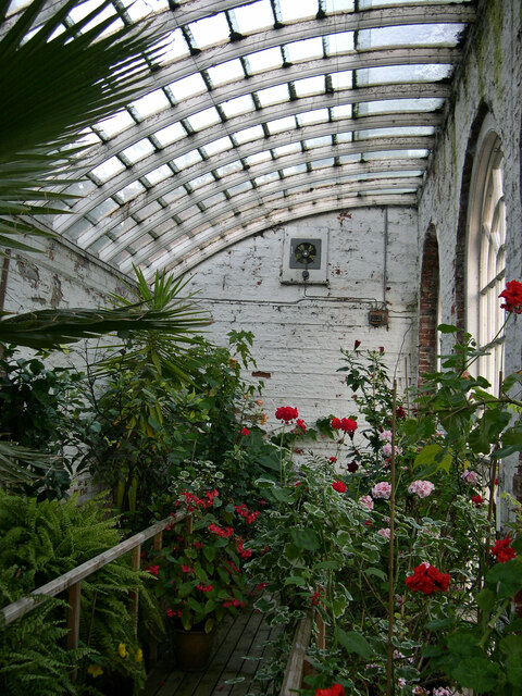
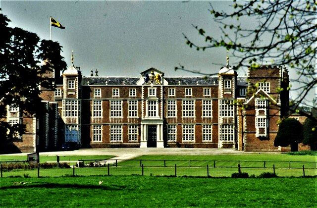
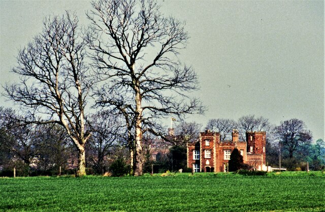
Burton Constable Hall
Burton Constable Hall is a large Elizabethan country house in England, with 18th- and 19th-century interiors and a fine 18th-century cabinet of curiosities...

West Newton, East Riding of Yorkshire
West Newton is a hamlet in the East Riding of Yorkshire, England. It is situated approximately 9 miles (14 km) north-east of Hull city centre and 6 miles...
Marton, East Riding of Yorkshire
Marton is a hamlet in the civil parish of Burton Constable, in the East Riding of Yorkshire, England, and in an area known as Holderness. It is situated...

Old Ellerby
Old Ellerby is a hamlet in the East Riding of Yorkshire, England, in an area known as Holderness. It is situated approximately 7 miles (11 km) north-east...

Holderness
Holderness is an area of the East Riding of Yorkshire, on the north-east coast of England. An area of rich agricultural land, Holderness was marshland...

Burton Constable railway station
Burton Constable railway station was a railway station which served the villages of Marton and Burton Constable in the East Riding of Yorkshire, England...
New Ellerby
New Ellerby is a hamlet in the East Riding of Yorkshire, England, in an area known as Holderness. It is situated approximately 8 miles (13 km) north-east...
Nearby Amenities
Located within 500m of 53.824334,-0.19917289Have you been to Higher Moor Plantation?
Leave your review of Higher Moor Plantation below (or comments, questions and feedback).