Dutchells Copse
Wood, Forest in Sussex Horsham
England
Dutchells Copse
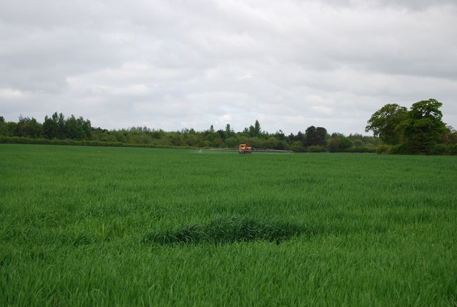
Dutchells Copse is a picturesque woodland located in Sussex, England. Covering an area of approximately 20 acres, this serene forest is a haven for nature enthusiasts and those seeking tranquility amidst the bustling modern world.
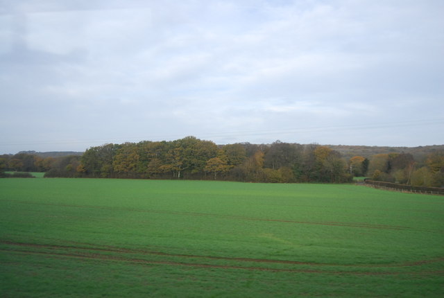
The copse is predominantly composed of native tree species, including oak, beech, and ash, which create a dense canopy that offers shade and shelter for a diverse range of flora and fauna. The forest floor is carpeted with a rich layer of leaf litter, providing a fertile ground for wildflowers, ferns, and mosses to flourish.
Visitors to Dutchells Copse can expect to encounter a variety of wildlife. The forest is home to numerous bird species, such as blue tits, great tits, and chaffinches, which can be spotted flitting among the treetops. Squirrels can also be seen darting through the branches, while rabbits and badgers often leave their traces in the form of burrows and tracks.
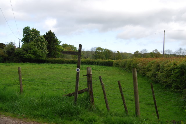
The copse is crisscrossed by a network of well-maintained footpaths, allowing visitors to explore its enchanting beauty at their leisure. These paths wind through the forest, leading to hidden clearings and secluded spots perfect for picnicking or simply enjoying the serenity of nature.
Dutchells Copse is not only a haven for wildlife but also a valuable educational resource. Local schools and nature organizations frequently organize field trips to the copse, offering children and adults alike the opportunity to learn about the importance of woodland ecosystems and the need for conservation efforts.
Overall, Dutchells Copse is a magnificent woodland that offers a peaceful retreat from the pressures of everyday life. Its natural beauty, diverse wildlife, and educational value make it a cherished asset to the Sussex community.
If you have any feedback on the listing, please let us know in the comments section below.
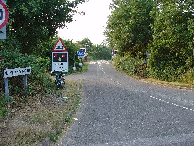
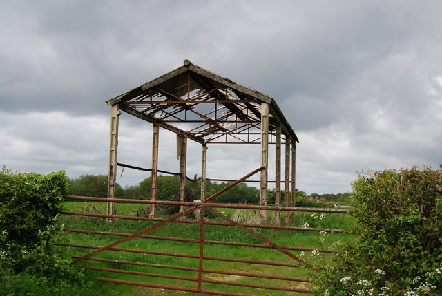
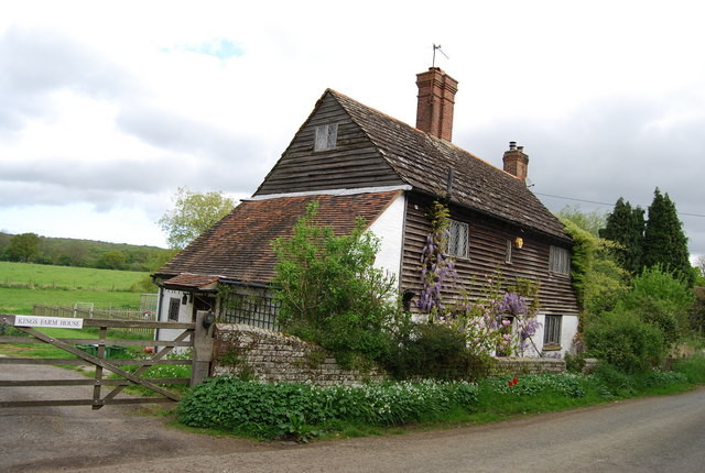
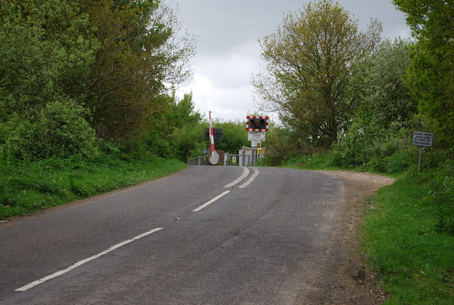
Dutchells Copse Images
Images are sourced within 2km of 51.083547/-0.30752787 or Grid Reference TQ1832. Thanks to Geograph Open Source API. All images are credited.


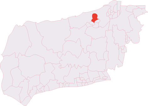
Dutchells Copse is located at Grid Ref: TQ1832 (Lat: 51.083547, Lng: -0.30752787)
Administrative County: West Sussex
District: Horsham
Police Authority: Sussex
What 3 Words
///headache.birthdays.burn. Near Horsham, West Sussex
Nearby Locations
Related Wikis
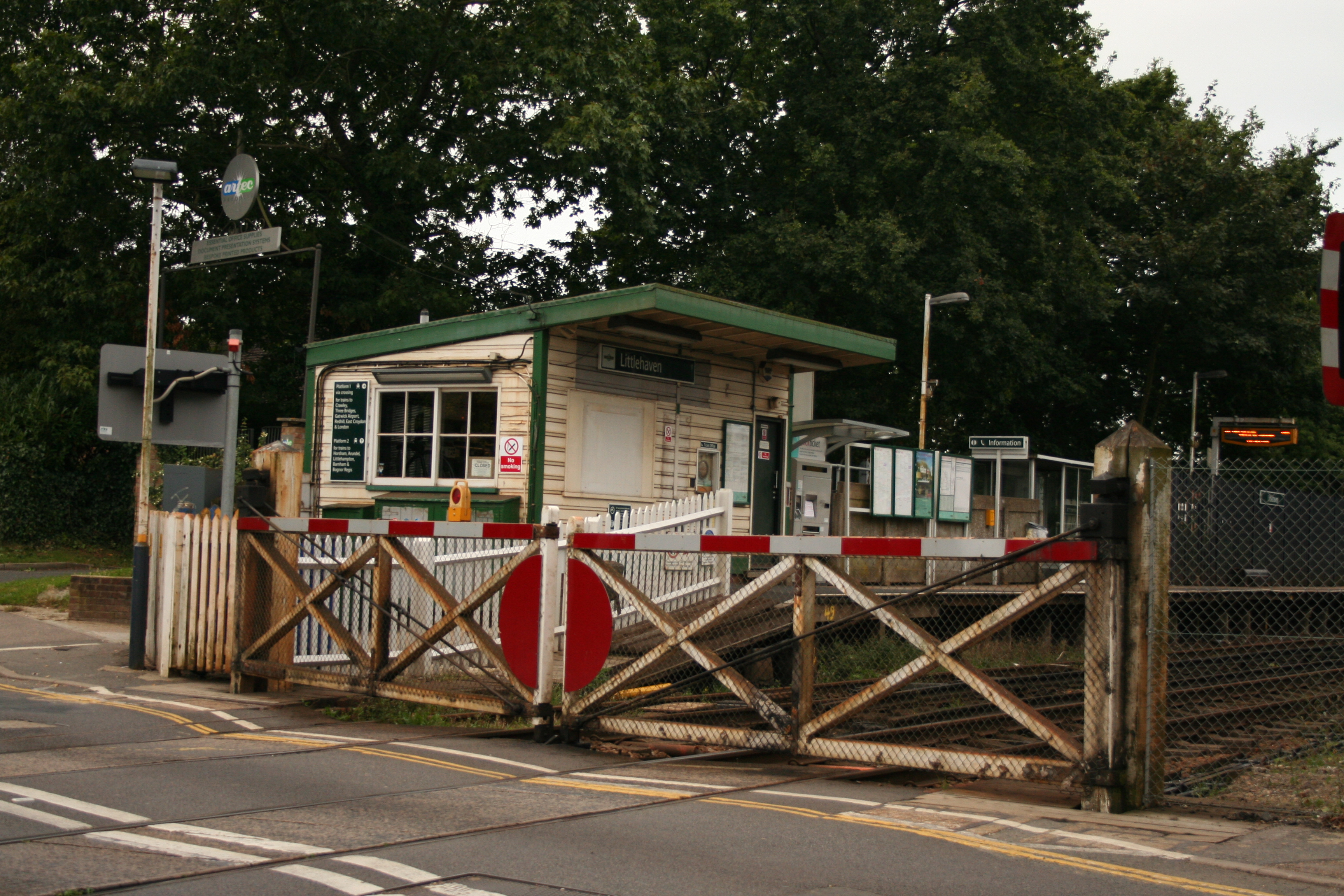
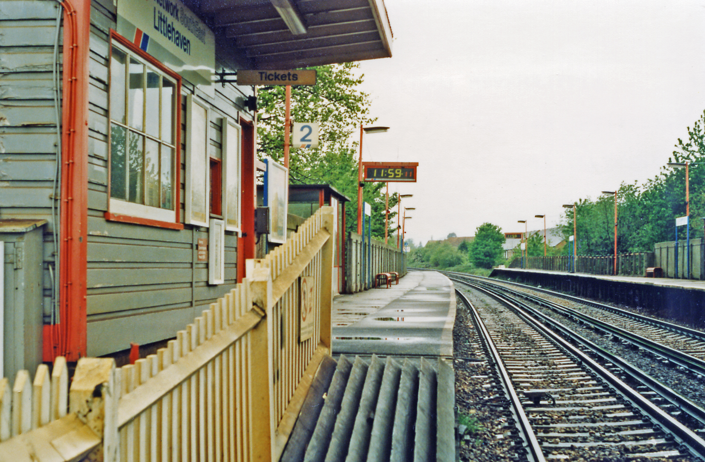
Littlehaven railway station
Littlehaven railway station serves the areas of Littlehaven, Holbrook and Roffey in the northeast of the town of Horsham, West Sussex, England. It is on...
North Horsham
North Horsham is a civil parish in the district of Horsham in West Sussex, England, covering the northern part of the Horsham town area. According to...

Roffey F.C.
Roffey F.C. is an English football club located in Roffey, Horsham in West Sussex. The club are currently members of the Southern Combination Division...
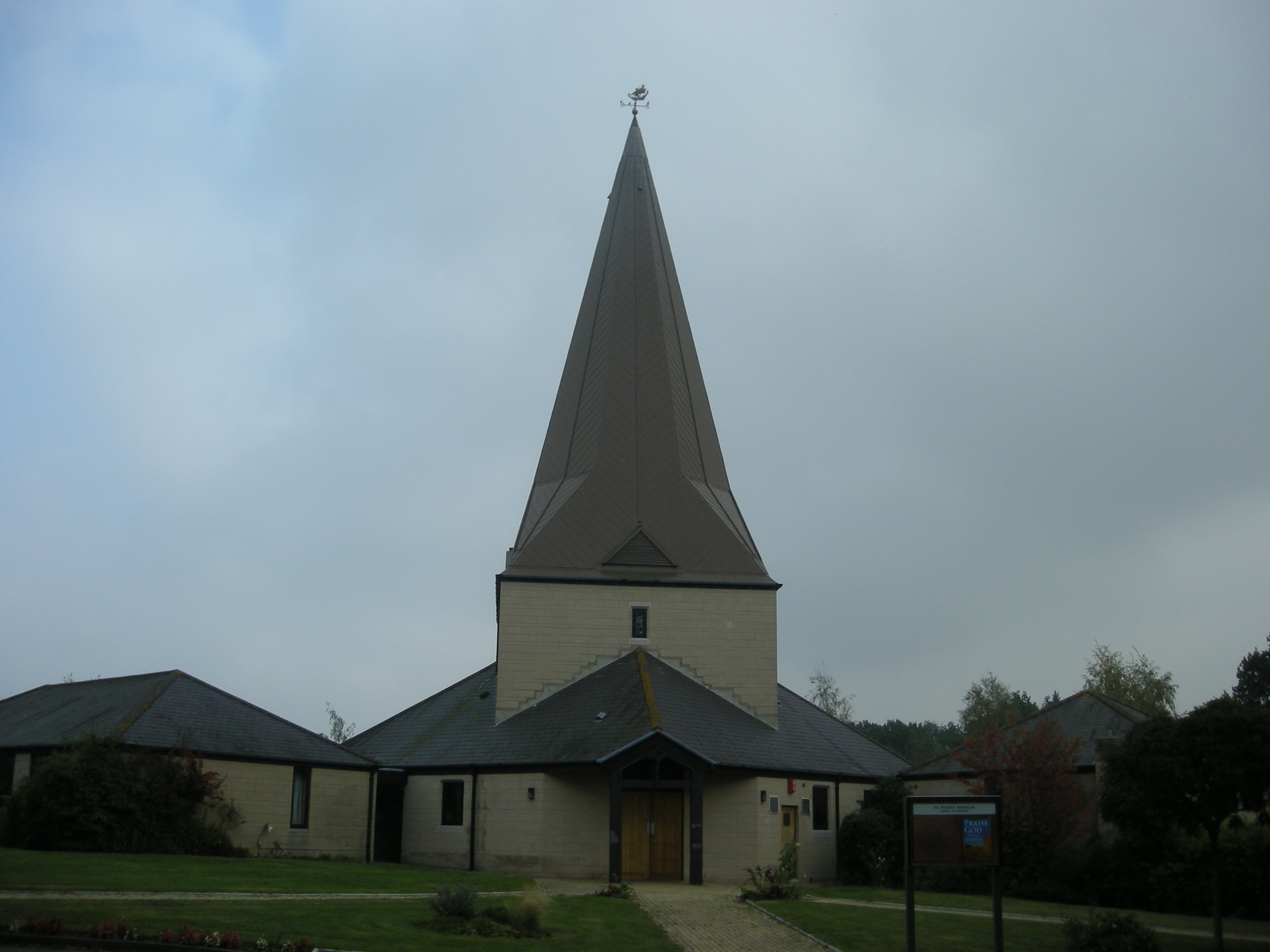
St Mark's Church, Horsham
St Mark's Church is an Anglican church situated on North Heath Lane in the newly created Parish and Benefice of Holbrook in the district of Horsham, West...
Holbrook (electoral division)
Holbrook is an electoral division of West Sussex in the United Kingdom and returns one member to sit on West Sussex County Council. The current County...
Bohunt Horsham
Bohunt Horsham is a coeducational all-through school located in Horsham, West Sussex, England. The school opened to 120 students in Year 7 in 2019 in temporary...
Roffey (electoral division)
Roffey is an electoral division of West Sussex in the United Kingdom and returns one member to sit on West Sussex County Council. == Extent == The division...

Graylands
Graylands is a hamlet in the Horsham district of West Sussex, England. The largely rural hamlet is located north of Holbrook beyond the A264. It is bordered...
Related Videos

Horsham UK
Hiking at Leenardslee Gardens.
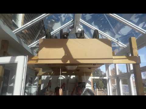
walking with Stilts #painting #spraypaint #decoration #spraying #diy #stilts #construction #spraying
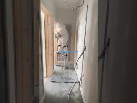
walking with Stilts, spraying high cealling #painting #spraypaint #spraying #diy #stilts #decorator #vevor.

1 year Journey in the Uk as an international nurse. @kobostory.
A move made took me far, a big decision to leave behind my parents, sibling, loved ones and relatives to go to another land far ...
Nearby Amenities
Located within 500m of 51.083547,-0.30752787Have you been to Dutchells Copse?
Leave your review of Dutchells Copse below (or comments, questions and feedback).