Pheasant Holt
Wood, Forest in Lincolnshire West Lindsey
England
Pheasant Holt
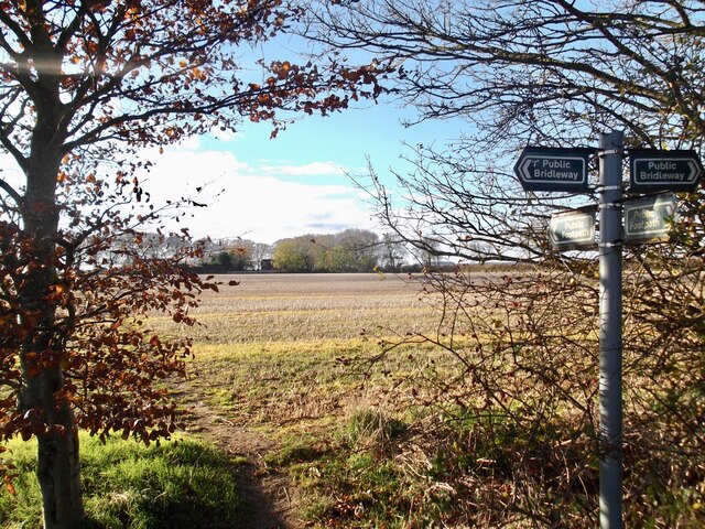
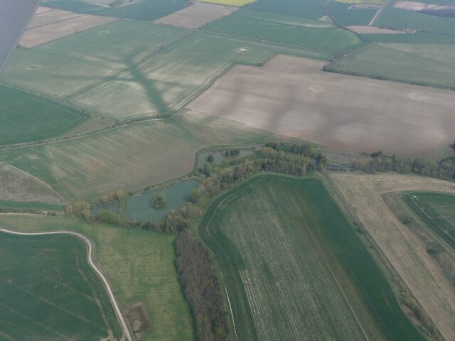
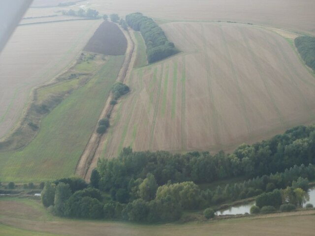
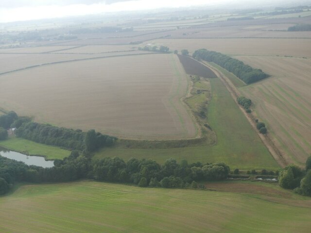
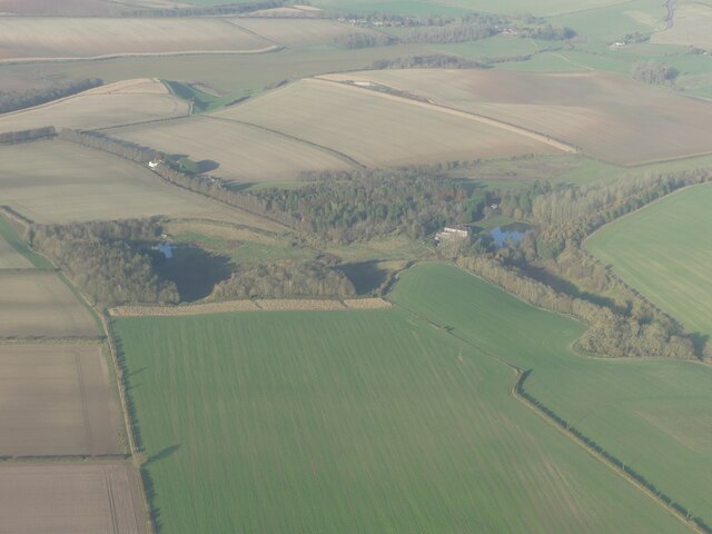
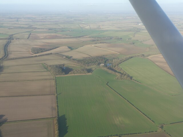
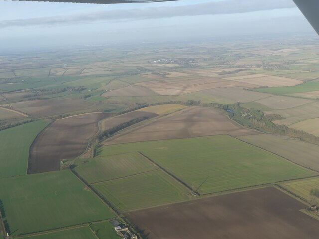
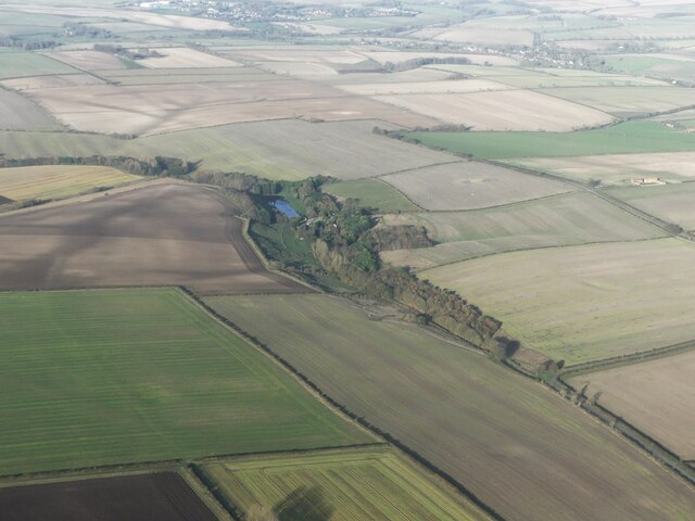
Pheasant Holt is a picturesque woodland area located in Lincolnshire, England. Nestled within the beautiful countryside, this forested area is a haven for nature enthusiasts and outdoor adventurers alike. Spanning over a vast expanse of land, Pheasant Holt is a popular destination for those seeking tranquility and a connection with nature.
The woodland is characterized by its dense and diverse vegetation, consisting of towering trees, thick undergrowth, and an array of vibrant wildflowers. The forest provides a home to a wide variety of wildlife, including pheasants, rabbits, squirrels, and numerous species of birds. The peaceful and serene atmosphere of Pheasant Holt makes it an ideal spot for birdwatching and wildlife photography.
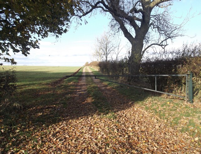
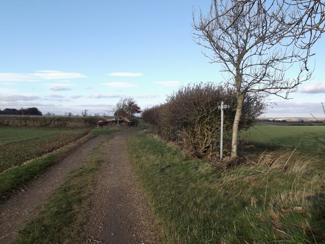
For those looking to explore the forest, there are well-maintained walking trails that wind their way through the woodland, allowing visitors to immerse themselves in the natural beauty of the area. These trails offer breathtaking views of the surrounding landscape, with occasional glimpses of meandering streams and small ponds.
Pheasant Holt is also a popular location for outdoor activities such as camping, picnicking, and nature walks. The forest is equipped with designated camping areas and picnic spots, making it a perfect destination for families and groups of friends to enjoy a day out in nature.
Overall, Pheasant Holt in Lincolnshire is a captivating woodland area that offers a serene escape from the hustle and bustle of everyday life. Its natural beauty, diverse wildlife, and recreational opportunities make it a must-visit destination for anyone seeking a connection with nature.
If you have any feedback on the listing, please let us know in the comments section below.
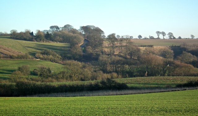
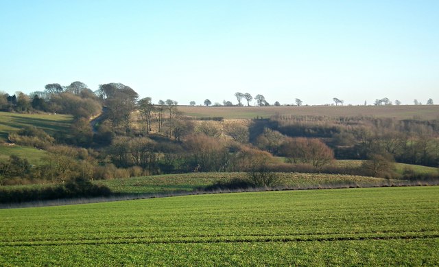
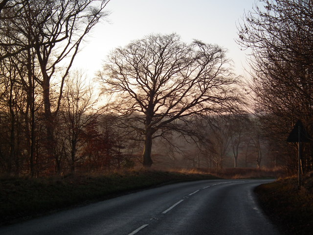
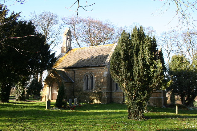
Pheasant Holt Images
Images are sourced within 2km of 53.412081/-0.21644026 or Grid Reference TF1892. Thanks to Geograph Open Source API. All images are credited.


Pheasant Holt is located at Grid Ref: TF1892 (Lat: 53.412081, Lng: -0.21644026)
Administrative County: Lincolnshire
District: West Lindsey
Police Authority: Lincolnshire
What 3 Words
///moped.multiples.silks. Near Wold Newton, Lincolnshire
Nearby Locations
Related Wikis
Kirmond le Mire
Kirmond le Mire is a small village and civil parish in the West Lindsey district of Lincolnshire, England. It is situated on the B1203 road, 6 miles (10...

Orford Priory
Orford Priory was a priory of Premonstratensian canonesses in Stainton le Vale, Lincolnshire, England, and one of nine within the historical county. The...

Stainton le Vale
Stainton le Vale is a village in the civil parish of Thoresway in the West Lindsey district of Lincolnshire, England. It is situated about 6 miles (9...

Ludford, Lincolnshire
Ludford is a village and civil parish in the East Lindsey district of Lincolnshire, England. The parish is composed of the villages of Ludford Magna and...

Binbrook
Binbrook is a village and civil parish in the East Lindsey district of Lincolnshire, England. It is situated on the B1203 road, and 8 miles (13 km) north...

Parts of Lindsey
The Parts of Lindsey are a traditional division of Lincolnshire, England, covering the northern part of the county. The Isle of Axholme, which is on the...

Tealby
Tealby is a village and civil parish in the West Lindsey district of Lincolnshire, England, situated on the edge of the Lincolnshire Wolds and 3 miles...

Brookenby Church
Brookenby Church is located in Brookenby, Lincolnshire, England. A member of the Church of England, it forms part of the Walesby group of churches, which...
Nearby Amenities
Located within 500m of 53.412081,-0.21644026Have you been to Pheasant Holt?
Leave your review of Pheasant Holt below (or comments, questions and feedback).