Kirmond le Mire

Settlement in Lincolnshire West Lindsey

England

Kirmond le Mire

Footpath past Binbrook Top
Footpath past Binbrook Top Credit: David Brown

Kirmond le Mire is a small village located in the county of Lincolnshire, England. Situated approximately 10 miles north-west of the market town of Louth, the village is nestled amidst picturesque countryside and offers a tranquil and idyllic setting.

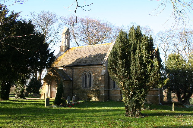
The name Kirmond le Mire is derived from the Old Norse words "kirkja" meaning church and "mundr" meaning protection, indicating the presence of a church and its significance in the village's history. The village is indeed home to a charming medieval church, St. Martin's Church, which dates back to the 12th century. The church boasts remarkable architectural features, including a Norman tower and a beautifully preserved interior.

With a population of around 200 residents, Kirmond le Mire retains a close-knit and friendly community atmosphere. The village is characterized by its traditional stone cottages, well-maintained gardens, and peaceful ambiance. The surrounding countryside offers ample opportunities for outdoor activities such as walking, cycling, and horse riding.

Although Kirmond le Mire is primarily a residential area, a few amenities can be found within a short distance. The nearest primary school and shops are situated in nearby villages, ensuring convenient access to essential services.

Overall, Kirmond le Mire is a charming and picturesque village that attracts those seeking a peaceful and rural lifestyle. Its rich history, stunning church, and natural beauty make it an appealing destination for both residents and visitors alike.

If you have any feedback on the listing, please let us know in the comments section below.

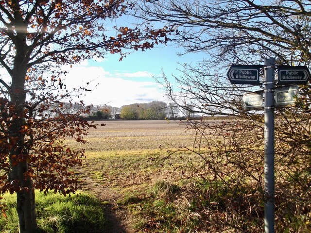
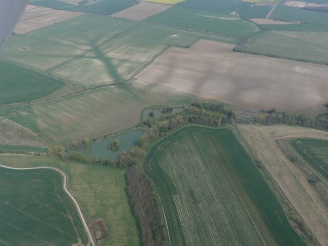
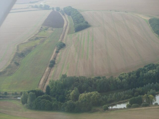
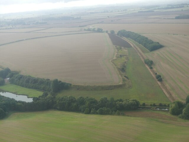
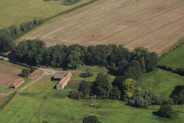
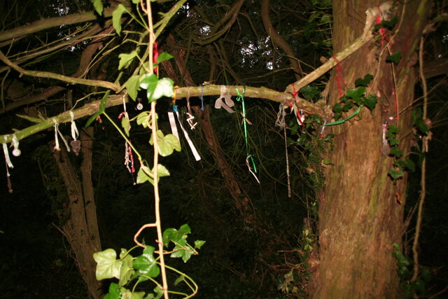
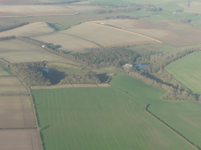
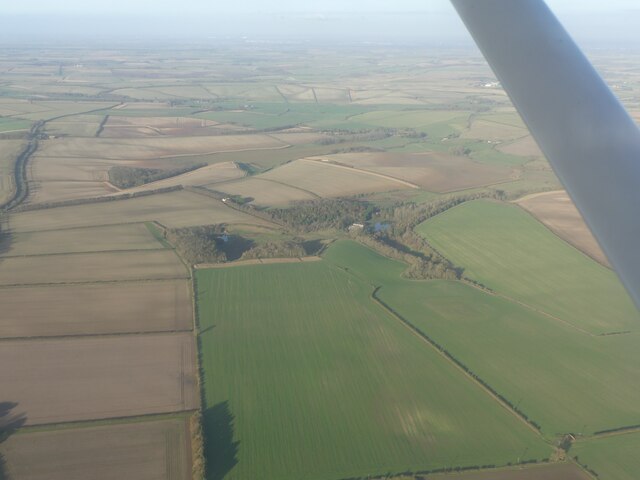
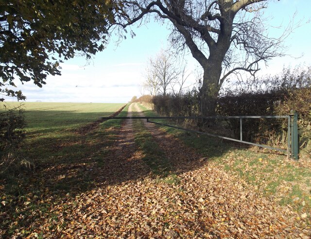
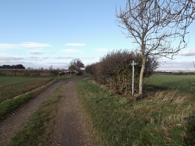
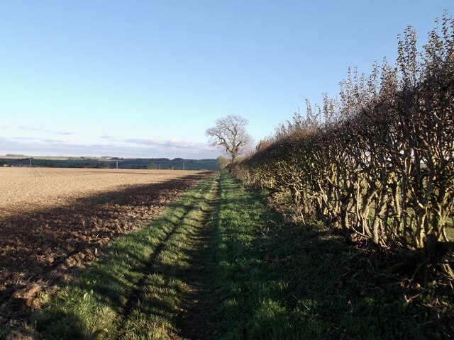
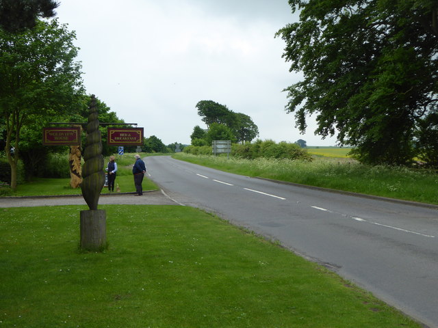
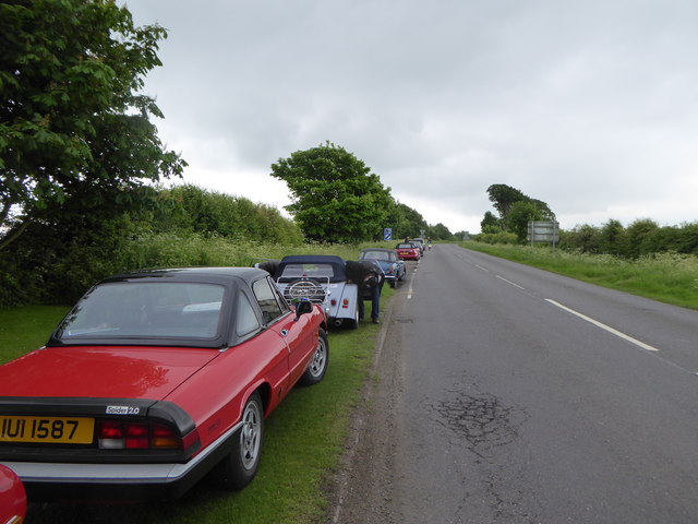
Kirmond le Mire Images

Images are sourced within 2km of 53.416759/-0.2130243 or Grid Reference TF1892. Thanks to Geograph Open Source API. All images are credited.

Footpath past Binbrook Top
Ponds near Thorpe le Vale: aerial 2022
Part of site of Orford Priory and DMV: aerial 2022 See: <span class="nowrap"><a title="https://www.heritagegateway.org.uk/Gateway/Results_Single.aspx?uid=MLI50709&resourceID=1006" rel="nofollow ugc noopener" href="https://www.heritagegateway.org.uk/Gateway/Results_Single.aspx?uid=MLI50709&resourceID=1006">Link</a><img style="margin-left:2px;" alt="External link" title="External link - shift click to open in new window" src="https://s1.geograph.org.uk/img/external.png" width="10" height="10"/></span> (Premonstratensian Nunnery) and 
<span class="nowrap"><a title="https://www.heritagegateway.org.uk/Gateway/Results_Single.aspx?uid=MLI50708&resourceID=1006" rel="nofollow ugc noopener" href="https://www.heritagegateway.org.uk/Gateway/Results_Single.aspx?uid=MLI50708&resourceID=1006">Link</a><img style="margin-left:2px;" alt="External link" title="External link - shift click to open in new window" src="https://s1.geograph.org.uk/img/external.png" width="10" height="10"/></span> (DMV).
Part of site of Orford Priory and DMV: aerial 2022
See: LinkExternal link (Premonstratensian Nunnery) and LinkExternal link (DMV).
Thorpe le Vale: aerial 2022
Thorpe le Vale: aerial 2022 (2)
Orford Priory Farm and earthworks: aerial 2023 Farm built on part of the site of Irford or Orford Priory, a house of Premonstratensian nuns founded in the mid 12th century and dissolved 1539.

See <span class="nowrap"><a title="https://www.heritagegateway.org.uk/Gateway/Results_Single.aspx?uid=MLI50709&resourceID=1006" rel="nofollow ugc noopener" href="https://www.heritagegateway.org.uk/Gateway/Results_Single.aspx?uid=MLI50709&resourceID=1006">Link</a><img style="margin-left:2px;" alt="External link" title="External link - shift click to open in new window" src="https://s1.geograph.org.uk/img/external.png" width="10" height="10"/></span>
Orford Priory Farm and earthworks: aerial 2023
Farm built on part of the site of Irford or Orford Priory, a house of Premonstratensian nuns founded in the mid 12th century and dissolved 1539. See LinkExternal link
Farm at Stainton le Vale: aerial 2023 South Farm.
Farm at Stainton le Vale: aerial 2023
South Farm.
Votive offerings at Lud's Well, Stainton-le-Vale
Kirmond Top: aerial 2023 (1)
Kirmond Top: aerial 2023 (2)
Bridleway north towards Binbrook
Bridleway and path looking north
Path to Binbrook
Path to Binbrook
Farm buildings, South Farm
Heading south from Stainton le Vale Near South Farm.
Heading south from Stainton le Vale
Near South Farm.
The entrance to Wold View House A tearoom on the B1225 near Tealby.
The entrance to Wold View House
A tearoom on the B1225 near Tealby.
Field next to Wold View House
Classic cars parked on the verge of the B1225 near Wold View House
Show me another place!

Kirmond le Mire is located at Grid Ref: TF1892 (Lat: 53.416759, Lng: -0.2130243)

Division: Parts of Lindsey

Administrative County: Lincolnshire

District: West Lindsey

Police Authority: Lincolnshire

What 3 Words

///brilliant.players.bidder. Near Wold Newton, Lincolnshire

Related Wikis

Kirmond le Mire

Kirmond le Mire is a small village and civil parish in the West Lindsey district of Lincolnshire, England. It is situated on the B1203 road, 6 miles (10...

Orford Priory

Orford Priory was a priory of Premonstratensian canonesses in Stainton le Vale, Lincolnshire, England, and one of nine within the historical county. The...

Stainton le Vale

Stainton le Vale is a village in the civil parish of Thoresway in the West Lindsey district of Lincolnshire, England. It is situated about 6 miles (9...

Binbrook

Binbrook is a village and civil parish in the East Lindsey district of Lincolnshire, England. It is situated on the B1203 road, and 8 miles (13 km) north...

Parts of Lindsey

The Parts of Lindsey are a traditional division of Lincolnshire, England, covering the northern part of the county. The Isle of Axholme, which is on the...

Brookenby Church

Brookenby Church is located in Brookenby, Lincolnshire, England. A member of the Church of England, it forms part of the Walesby group of churches, which...

Ludford, Lincolnshire

Ludford is a village and civil parish in the East Lindsey district of Lincolnshire, England. The parish is composed of the villages of Ludford Magna and...

Brookenby

Brookenby is a village and civil parish in the West Lindsey district of Lincolnshire, England. The village is situated 7 miles (11 km) north-east from...

Nearby Amenities

Located within 500m of 53.416759,-0.2130243
Kirmond le Mire
Is In: Lincolnshire, England, UK
Place: hamlet
Source: NPE
Wikidata: Q6415923
Lat/Long: 53.4167279/-0.2133246
Bus Stop
Telephone Box
Naptan AtcoCode: 270000014333
Naptan Bearing: E
Naptan CommonName: Telephone Box
Naptan Indicator: adj
Naptan Landmark: Telephone Box
Naptan NaptanCode: linjpjgd
Naptan Street: B1203
Naptan Verified: no
Source: naptan_import
Lat/Long: 53.4170565/-0.2162505
Bus Stop
Telephone Box
Naptan AtcoCode: 270000014334
Naptan Bearing: W
Naptan CommonName: Telephone Box
Naptan Indicator: opp
Naptan Landmark: Telephone Box
Naptan NaptanCode: linjpjgj
Naptan Street: B1203
Naptan Verified: no
Source: naptan_import
Lat/Long: 53.4169314/-0.2163009
Manor Farm
Place: farm
Source: Bing
Lat/Long: 53.4177433/-0.2136213
Braemar Farm
Place: locality
Source: Bing
Lat/Long: 53.4166131/-0.2098702
Nut Garth
Place: locality
Source: Bing
Lat/Long: 53.4159386/-0.214319
Rectory Farm
Place: farm
Source: Bing
Lat/Long: 53.4150485/-0.2072764
Beckfield
Historic: deserted_medieval_village
Historic Place: hamlet
Source: Bing
Lat/Long: 53.418707/-0.2117723
Power: pole
Lat/Long: 53.4188521/-0.2196072
Power: pole
Lat/Long: 53.4188385/-0.2182312
Power: pole
Lat/Long: 53.4188201/-0.2169719
Power: pole
Lat/Long: 53.4188057/-0.2156402
Power: pole
Lat/Long: 53.4186483/-0.2144788
Power: pole
Lat/Long: 53.4184525/-0.213123
Power: pole
Lat/Long: 53.4181623/-0.2121869
Power: pole
Lat/Long: 53.4177931/-0.2109423
Power: pole
Lat/Long: 53.4174925/-0.2099647
Power: pole
Lat/Long: 53.4172464/-0.2091426
Power: pole
Lat/Long: 53.417244/-0.2081072
Power: pole
Lat/Long: 53.4172472/-0.2070048
Power: pole
Lat/Long: 53.4172488/-0.2059065
The data included in this document is from www.openstreetmap.org. The data is made available under ODbL.

Have you been to Kirmond le Mire?

Leave your review of Kirmond le Mire below (or comments, questions and feedback).