Nut Garth
Hill, Mountain in Lincolnshire West Lindsey
England
Nut Garth
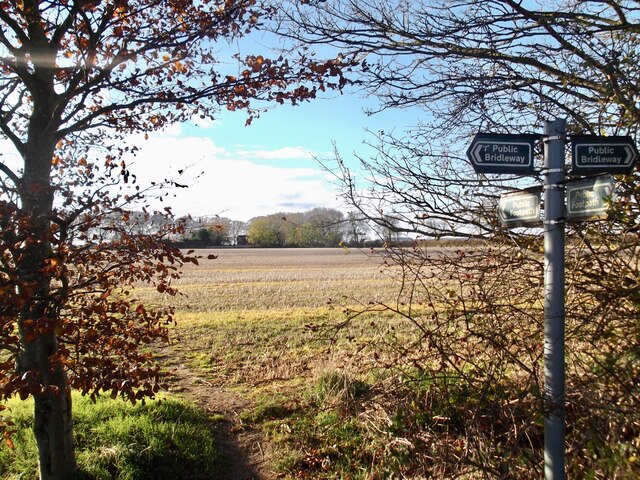
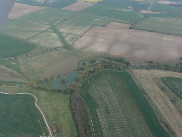
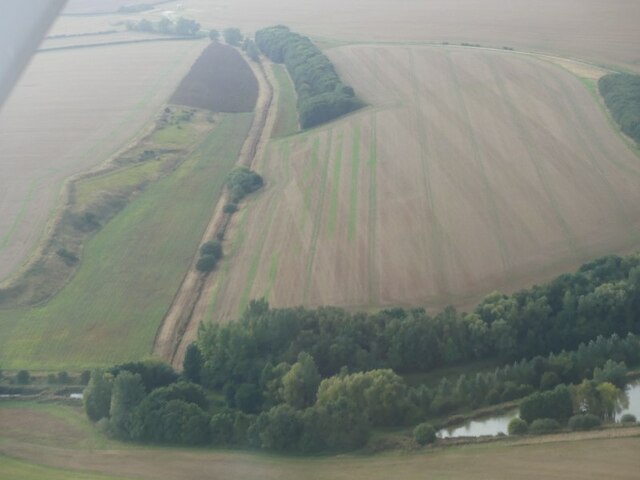
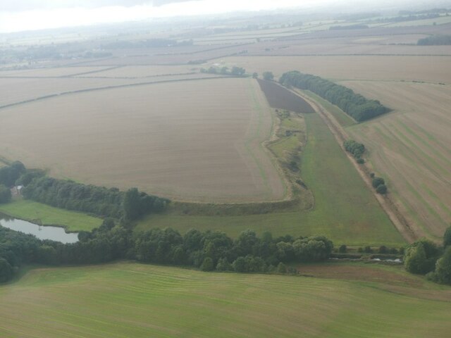
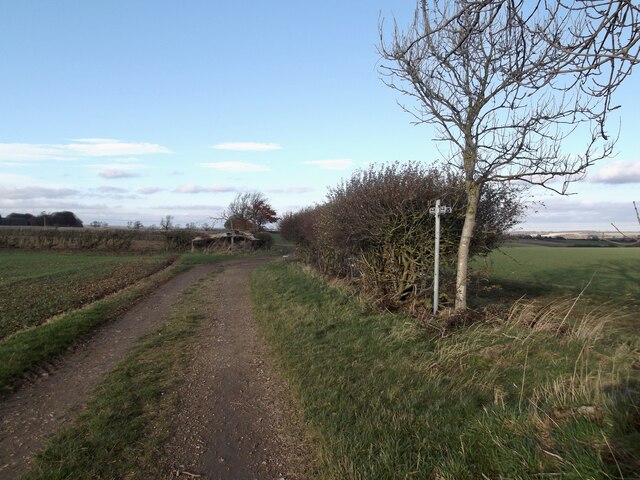
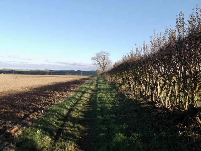
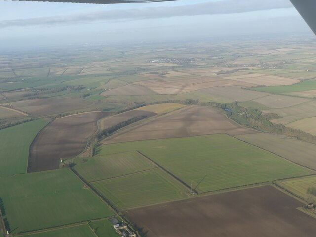
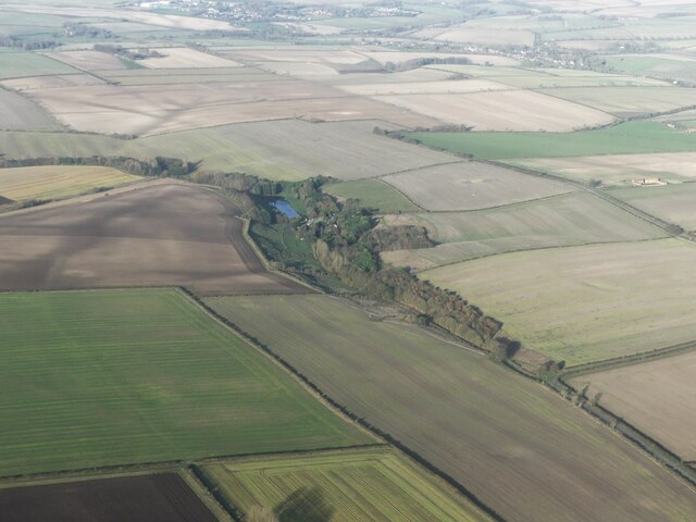
Nut Garth is a small hill located in the county of Lincolnshire, England. Situated near the village of Scampton, it is part of the Lincolnshire Wolds Area of Outstanding Natural Beauty. Despite its name, Nut Garth is not a mountain but rather a modest hill, standing at an elevation of approximately 130 meters (426 feet) above sea level.
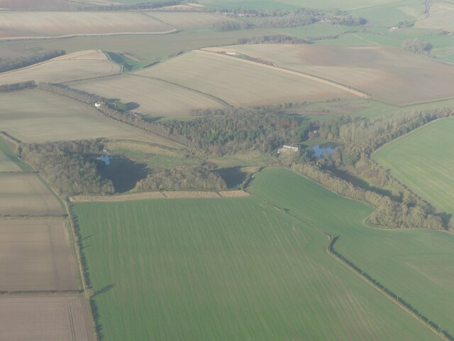
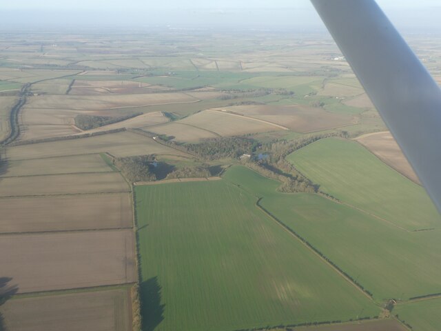
The hill is renowned for its picturesque surroundings, offering breathtaking panoramic views of the surrounding countryside. Its location within the Lincolnshire Wolds provides visitors with the opportunity to appreciate the diverse and stunning landscapes that the area has to offer. From the top of Nut Garth, one can observe rolling hills, lush green valleys, and charming rural villages that dot the landscape.
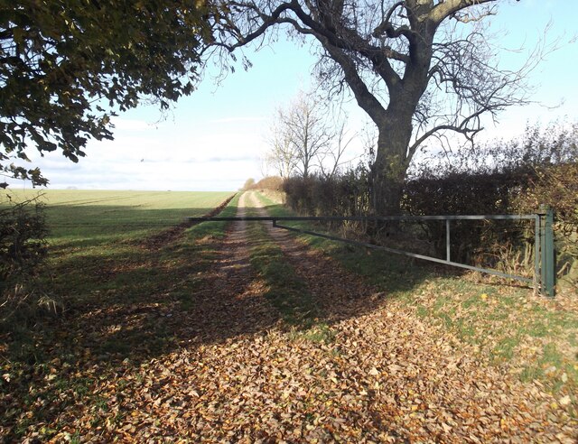
The hill is a popular destination for hikers and nature enthusiasts, who enjoy exploring the well-maintained footpaths and trails that crisscross the area. The diverse flora and fauna found on Nut Garth make it an ideal spot for wildlife enthusiasts, with various species of birds, butterflies, and wildflowers to be observed.
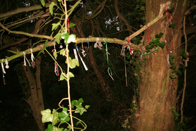
In addition to its natural beauty, Nut Garth is also home to historical and archaeological sites, with evidence of human activity dating back thousands of years. The area has been inhabited since prehistoric times, and remnants of ancient settlements, burial mounds, and earthworks can still be found on the hill.
Overall, Nut Garth offers visitors a tranquil and scenic escape, allowing them to immerse themselves in the stunning natural beauty and rich history of Lincolnshire.
If you have any feedback on the listing, please let us know in the comments section below.
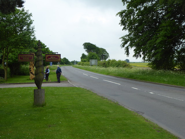
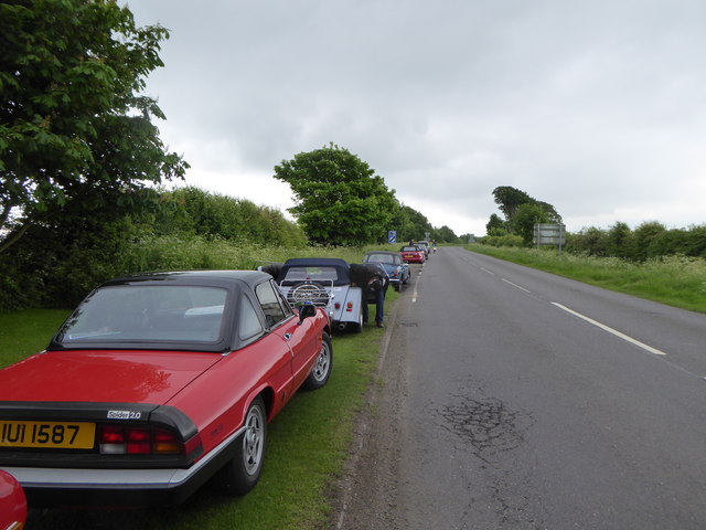
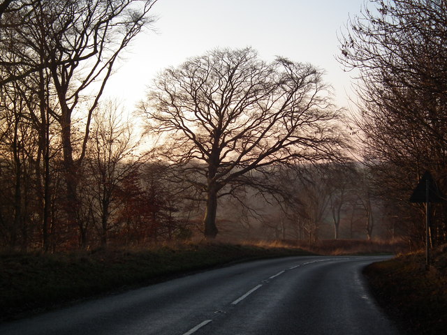
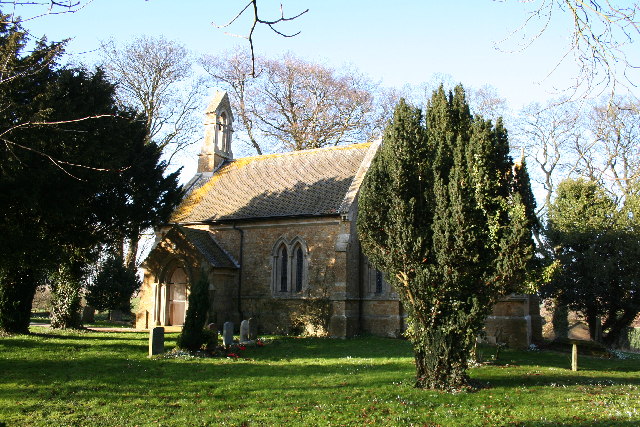
Nut Garth Images
Images are sourced within 2km of 53.415391/-0.21232928 or Grid Reference TF1892. Thanks to Geograph Open Source API. All images are credited.


Nut Garth is located at Grid Ref: TF1892 (Lat: 53.415391, Lng: -0.21232928)
Administrative County: Lincolnshire
District: West Lindsey
Police Authority: Lincolnshire
What 3 Words
///help.beside.signified. Near Wold Newton, Lincolnshire
Nearby Locations
Related Wikis
Kirmond le Mire
Kirmond le Mire is a small village and civil parish in the West Lindsey district of Lincolnshire, England. It is situated on the B1203 road, 6 miles (10...

Orford Priory
Orford Priory was a priory of Premonstratensian canonesses in Stainton le Vale, Lincolnshire, England, and one of nine within the historical county. The...

Stainton le Vale
Stainton le Vale is a village in the civil parish of Thoresway in the West Lindsey district of Lincolnshire, England. It is situated about 6 miles (9...

Binbrook
Binbrook is a village and civil parish in the East Lindsey district of Lincolnshire, England. It is situated on the B1203 road, and 8 miles (13 km) north...

Ludford, Lincolnshire
Ludford is a village and civil parish in the East Lindsey district of Lincolnshire, England. The parish is composed of the villages of Ludford Magna and...

Parts of Lindsey
The Parts of Lindsey are a traditional division of Lincolnshire, England, covering the northern part of the county. The Isle of Axholme, which is on the...

Brookenby Church
Brookenby Church is located in Brookenby, Lincolnshire, England. A member of the Church of England, it forms part of the Walesby group of churches, which...
Brookenby
Brookenby is a village and civil parish in the West Lindsey district of Lincolnshire, England. The village is situated 7 miles (11 km) north-east from...
Nearby Amenities
Located within 500m of 53.415391,-0.21232928Have you been to Nut Garth?
Leave your review of Nut Garth below (or comments, questions and feedback).