Haven, Little
Settlement in Sussex Horsham
England
Haven, Little
Haven, Little, Sussex is a picturesque village located in the county of Sussex, England. Nestled amidst rolling green hills and surrounded by stunning natural beauty, Haven offers a tranquil and idyllic escape from the bustle of city life. The village is situated in the heart of the South Downs National Park, providing residents and visitors with ample opportunities for outdoor activities and exploration.
Haven is characterized by its charming rural architecture, with quaint cottages and historic buildings dotting the landscape. The village center boasts a traditional village green, complete with a centuries-old oak tree, creating a focal point for community gatherings and events.
In terms of amenities, Haven is home to a small but vibrant community. The village features a local pub, The Haven Arms, where locals and visitors can enjoy a hearty meal and a pint of ale. Additionally, a village shop offers essential supplies and basic provisions for residents.
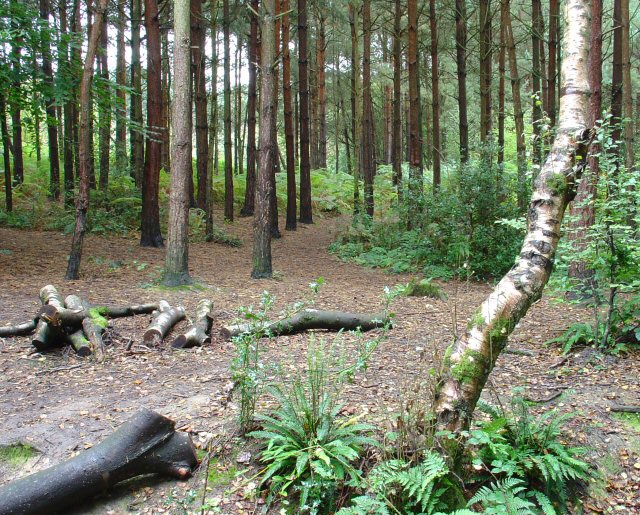
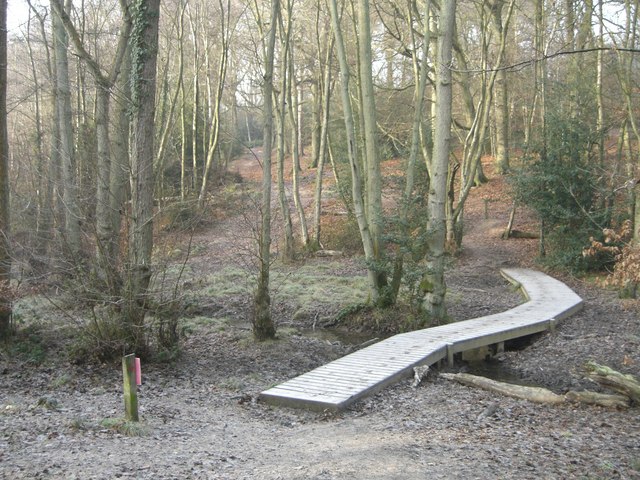
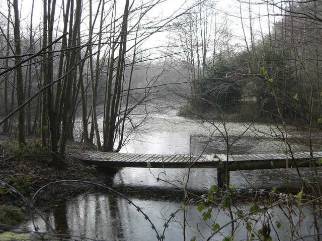
The surrounding countryside offers endless possibilities for nature enthusiasts. From scenic walks along the South Downs Way to cycling through picturesque trails, Haven provides a wealth of outdoor recreational activities. The area is also known for its diverse wildlife, with rare species of birds and wildflowers found in abundance.
Overall, Haven, Little, Sussex is a charming and peaceful village that exudes a quintessential English countryside charm. Its natural beauty and close-knit community make it an ideal destination for those seeking a serene and authentic rural experience.
If you have any feedback on the listing, please let us know in the comments section below.
Haven, Little Images
Images are sourced within 2km of 51.075588/-0.310558 or Grid Reference TQ1832. Thanks to Geograph Open Source API. All images are credited.


Haven, Little is located at Grid Ref: TQ1832 (Lat: 51.075588, Lng: -0.310558)
Administrative County: West Sussex
District: Horsham
Police Authority: Sussex
What 3 Words
///wooden.swim.shells. Near Horsham, West Sussex
Nearby Locations
Related Wikis
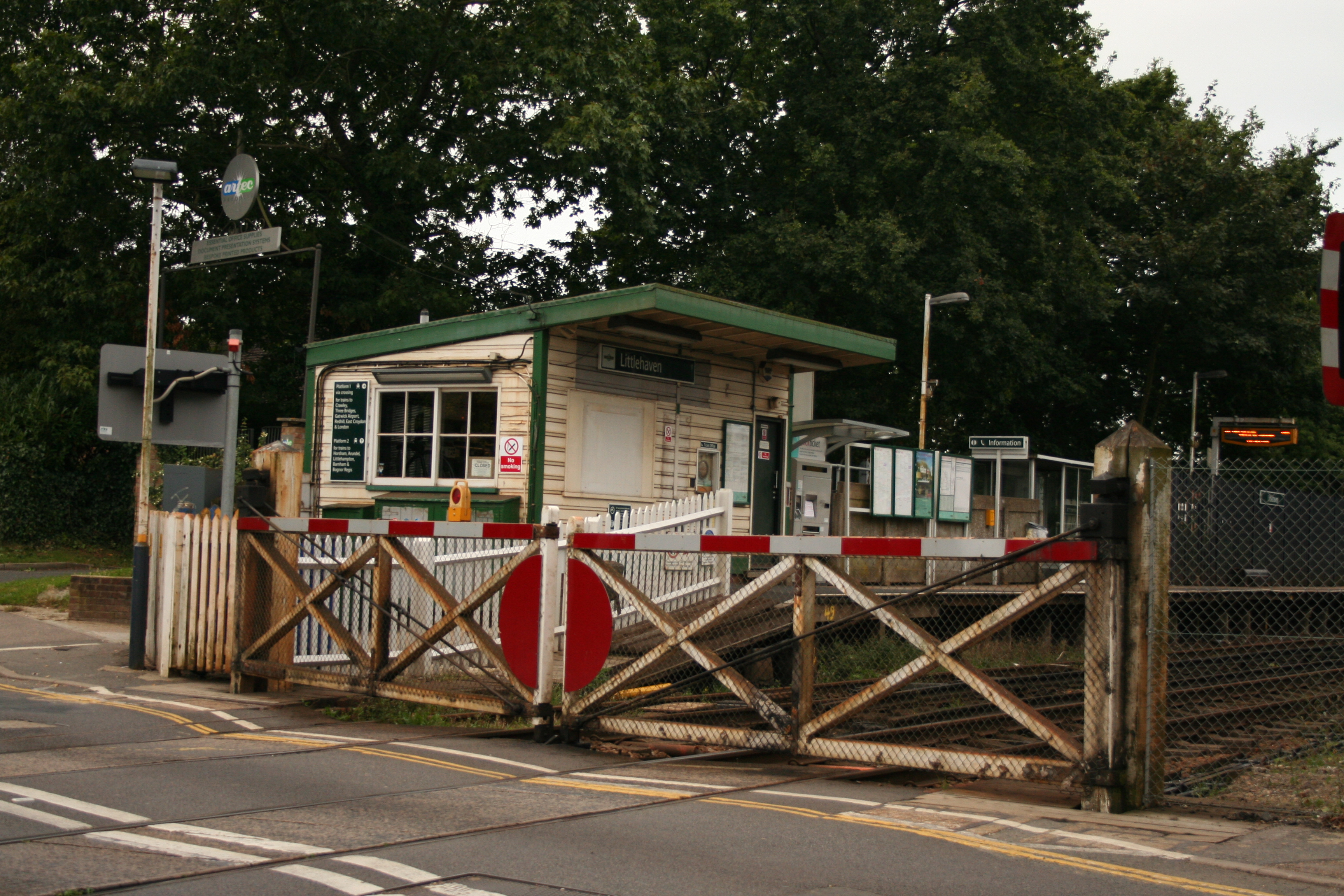
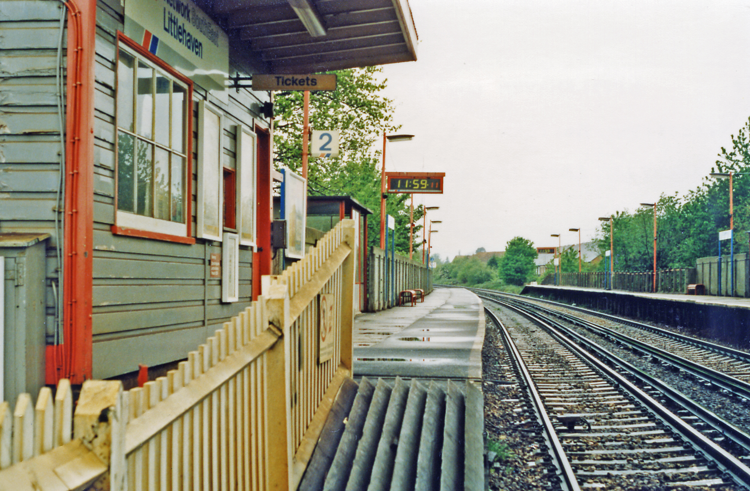
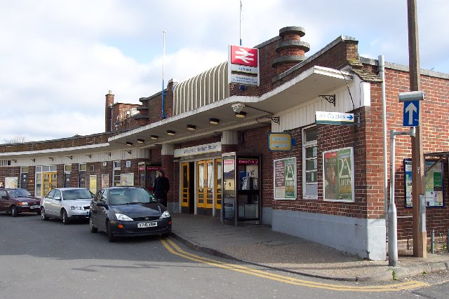
Littlehaven railway station
Littlehaven railway station serves the areas of Littlehaven, Holbrook and Roffey in the northeast of the town of Horsham, West Sussex, England. It is on...
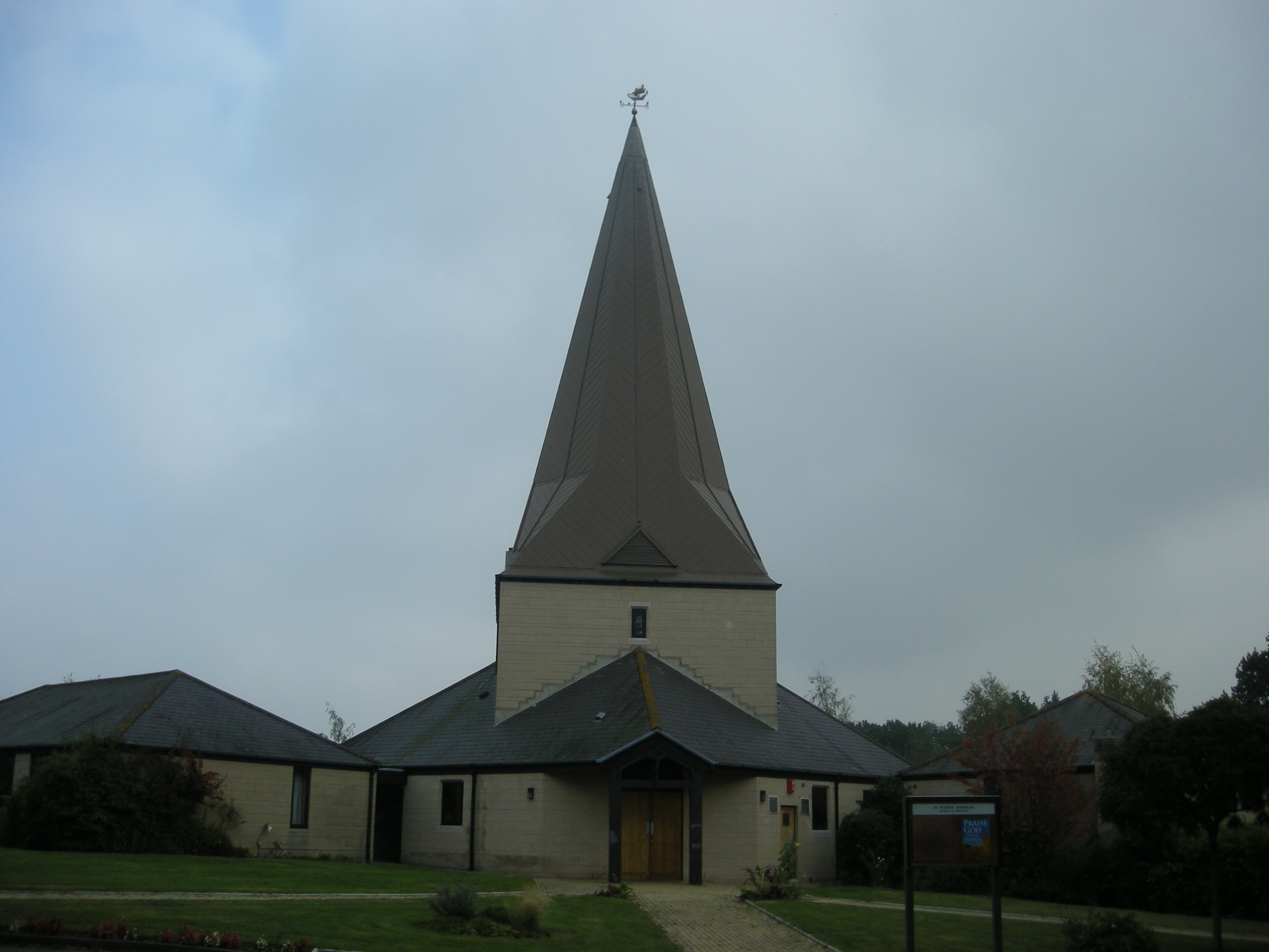
St Mark's Church, Horsham
St Mark's Church is an Anglican church situated on North Heath Lane in the newly created Parish and Benefice of Holbrook in the district of Horsham, West...
North Horsham
North Horsham is a civil parish in the district of Horsham in West Sussex, England, covering the northern part of the Horsham town area. According to...

The College of Richard Collyer
The College of Richard Collyer (colloquially Collyer's ), formerly called Collyer's School, is a co-educational sixth form college in Horsham, West Sussex...

Horsham Hospital
Horsham Hospital is a health facility at Hurst Road in Horsham, West Sussex, England. It is managed by Sussex Community NHS Foundation Trust. == History... ==
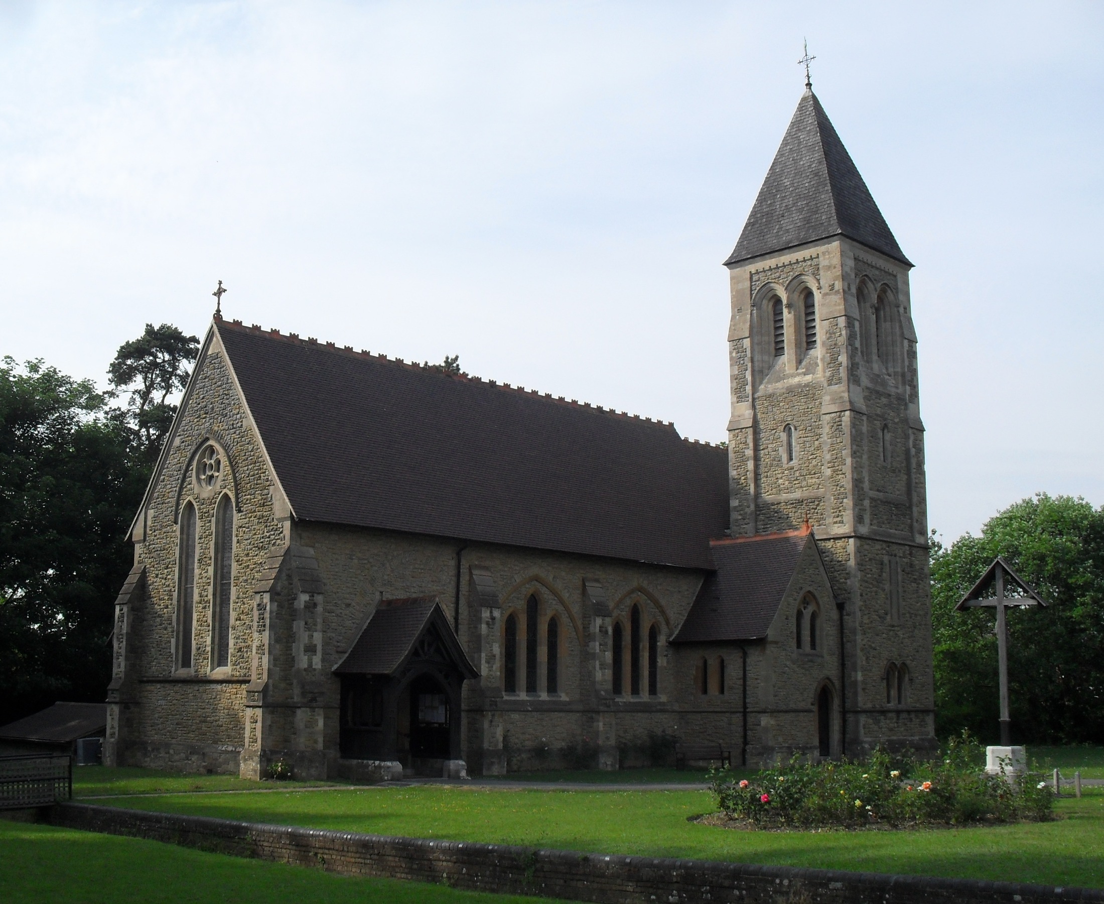
All Saints Church, Roffey
All Saints Church is the Anglican parish church of Roffey, in the Horsham district of the English county of West Sussex. The present church, built to...
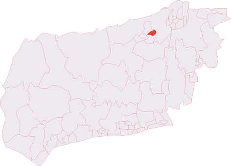
Roffey (electoral division)
Roffey is an electoral division of West Sussex in the United Kingdom and returns one member to sit on West Sussex County Council. == Extent == The division...
Horsham railway station
Horsham railway station serves the town of Horsham in West Sussex, England. It is 37 miles 56 chains (60.7 km) down the line from London Bridge, measured...
Nearby Amenities
Located within 500m of 51.075588,-0.310558Have you been to Haven, Little?
Leave your review of Haven, Little below (or comments, questions and feedback).