Oak Wood
Wood, Forest in Hertfordshire St. Albans
England
Oak Wood
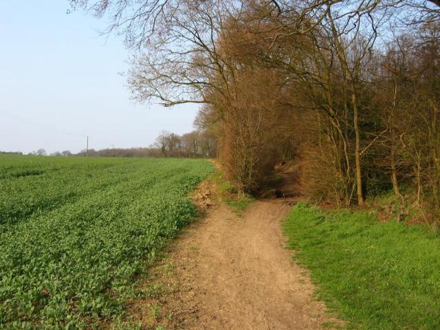
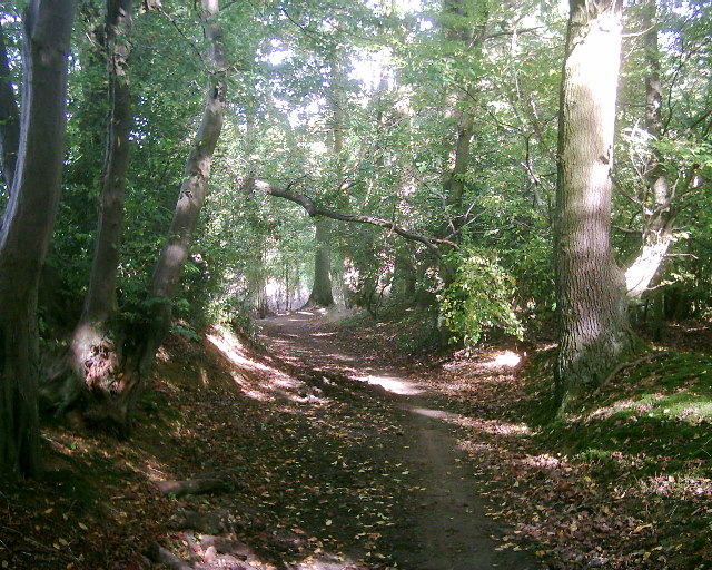
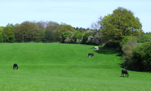
Oak Wood is a charming forest located in the county of Hertfordshire, England. Covering an area of approximately 500 acres, it is a prominent natural attraction and a popular destination for nature enthusiasts and outdoor lovers. The forest is predominantly composed of oak trees, which gives it its name and contributes to its picturesque atmosphere.
This woodland offers a diverse range of flora and fauna, creating a vibrant ecosystem. The majestic oak trees dominate the landscape, providing a canopy of shade and shelter for the various wildlife that call this forest home. Visitors can expect to encounter a wide array of bird species, including woodpeckers, owls, and a variety of songbirds, making it a haven for birdwatching enthusiasts.
The forest's trails and pathways are well-maintained, allowing visitors to explore its natural beauty at their own pace. The dense undergrowth of ferns and wildflowers adds to the enchanting ambiance, creating a tranquil and peaceful setting that is perfect for a relaxing stroll or a family picnic.
Oak Wood also holds historical significance, as it was once a part of the ancient Royal Forest of Hertfordshire. The remnants of this history can still be seen in the form of old boundary markers and the occasional ancient tree. It provides a glimpse into the rich heritage and cultural importance of the area.
Overall, Oak Wood in Hertfordshire is a captivating forest, offering a serene escape from the hustle and bustle of daily life. Its natural beauty, diverse wildlife, and historical significance make it a must-visit destination for nature lovers and those seeking a peaceful retreat in the heart of England.
If you have any feedback on the listing, please let us know in the comments section below.
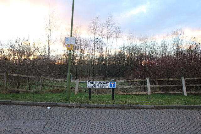
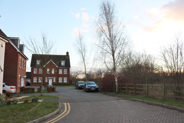
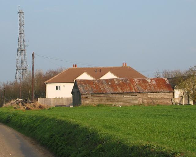
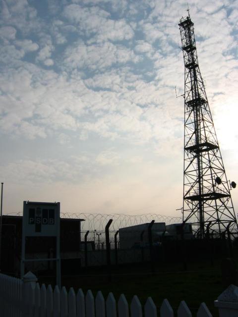
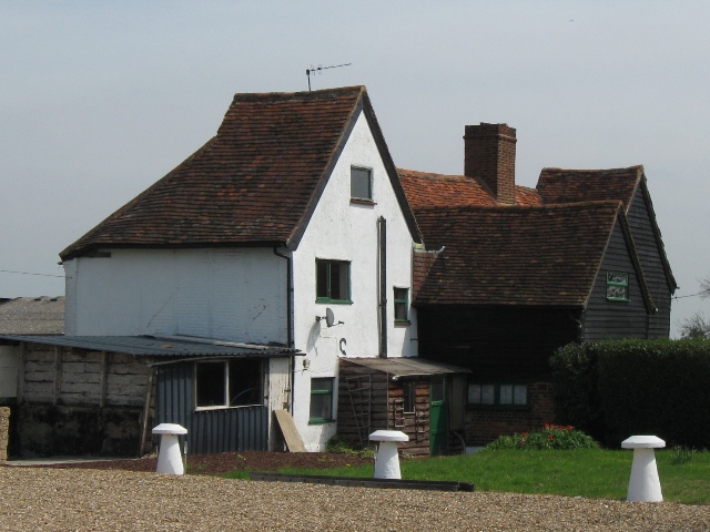
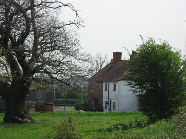
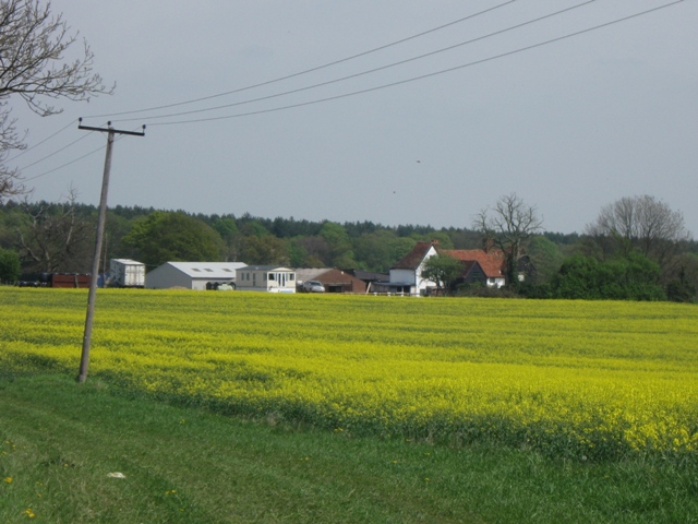
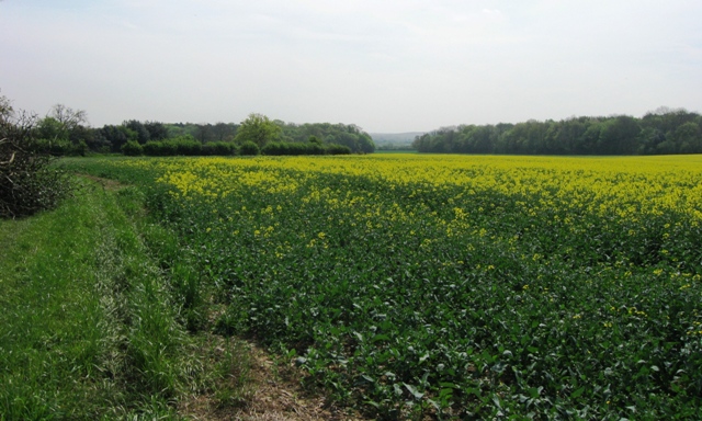
Oak Wood Images
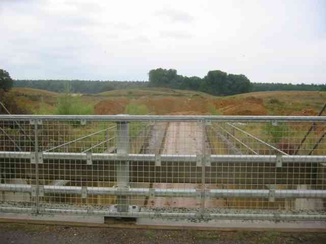
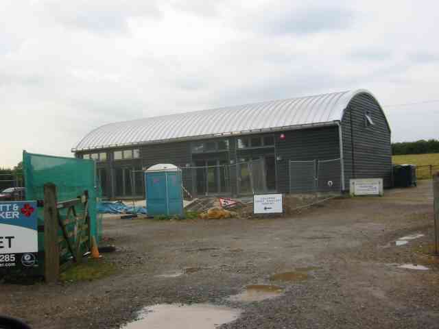
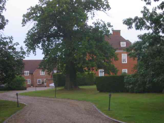
Images are sourced within 2km of 51.769077/-0.28026976 or Grid Reference TL1809. Thanks to Geograph Open Source API. All images are credited.

Oak Wood is located at Grid Ref: TL1809 (Lat: 51.769077, Lng: -0.28026976)
Administrative County: Hertfordshire
District: St. Albans
Police Authority: Hertfordshire
What 3 Words
///punch.bumps.slug. Near Hatfield, Hertfordshire
Nearby Locations
Related Wikis
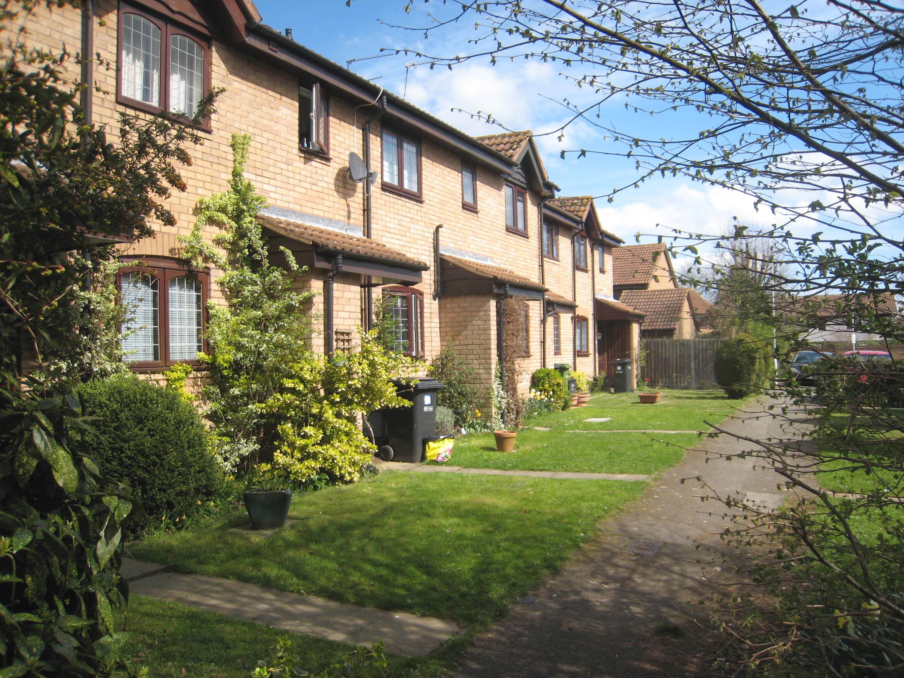
Jersey Farm
Jersey Farm is a residential neighbourhood in the civil parish of Sandridge centred 1.5 miles (2.4 km) north-east of the city centre of St Albans. It is...

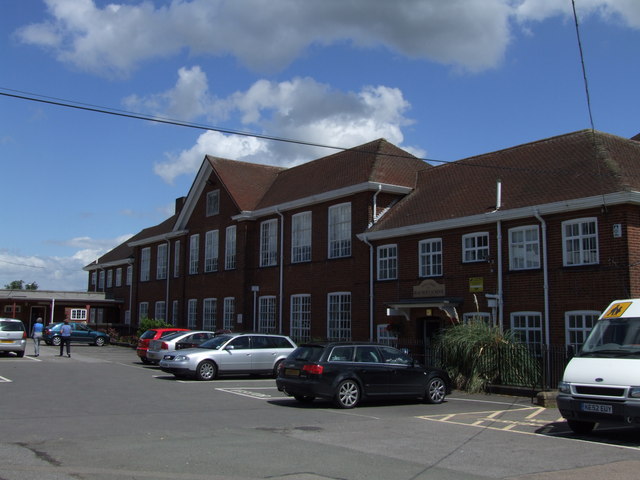
Sandringham School
Sandringham School is a secondary school with academy status in Marshalswick, St Albans, Hertfordshire. It was established in 1988 following a merger of...

Marshalswick
Marshalswick is a suburb of St Albans in Hertfordshire, England, located around 1.5 miles northeast of the city centre. The area was developed from the...
Beaumont School, St Albans
Beaumont School is a coeducational secondary school and sixth form with academy status, located in St Albans, Hertfordshire, England. It was founded in...
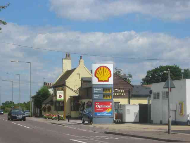
Smallford
Smallford is a village in the City and District of St Albans, Hertfordshire, United Kingdom. It is sandwiched between Hatfield and St Albans. It was served...
Hatfield Aerodrome
Hatfield Aerodrome (IATA: HTF, ICAO: EGTH) was a private airfield and aircraft factory located in the English town of Hatfield in Hertfordshire from 1930...

Sandridge
Sandridge is a village and civil parish between the city centre of St Albans (2.5 miles (4.0 km) to the south-west) and Wheathampstead in Hertfordshire...

St Leonard's Church, Sandridge
St Leonard's Church is in Sandridge, a village in Hertfordshire, England. It is an active Anglican parish church. The building is Grade II* listed: notable...
Nearby Amenities
Located within 500m of 51.769077,-0.28026976Have you been to Oak Wood?
Leave your review of Oak Wood below (or comments, questions and feedback).