Sourmeadow Copse
Wood, Forest in Sussex Horsham
England
Sourmeadow Copse

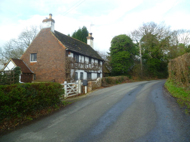
Sourmeadow Copse is a picturesque woodland located in the county of Sussex, in southern England. Covering an area of approximately 50 acres, it is a charming and diverse forest that offers a tranquil retreat for nature enthusiasts and visitors alike.
The copse is predominantly composed of native broadleaf trees, including oak, beech, and ash, which create a dense canopy that provides shade and shelter for a variety of wildlife. The forest floor is adorned with a rich carpet of bluebells in the spring, creating a vibrant and colorful spectacle.
Walking through Sourmeadow Copse, visitors can enjoy a network of well-maintained footpaths that meander through the woodland, providing opportunities to explore its hidden corners and discover its hidden treasures. The paths are suitable for all levels of walkers, from leisurely strollers to more adventurous hikers.
The copse is home to a diverse range of wildlife, including numerous bird species such as woodpeckers, chaffinches, and jays. Mammals such as badgers, foxes, and deer can also be spotted within the woodland, adding an element of intrigue and excitement to any visit.
Sourmeadow Copse is not only a haven for wildlife, but also a place of historical significance. It is believed to have been a hunting ground in medieval times and remnants of ancient earthworks can still be seen today, adding an extra layer of fascination to the copse.
Overall, Sourmeadow Copse is a beautiful and enchanting woodland that offers a peaceful escape from the hustle and bustle of everyday life. Its natural beauty, diverse wildlife, and historical significance make it a must-visit destination for nature lovers and history enthusiasts alike.
If you have any feedback on the listing, please let us know in the comments section below.
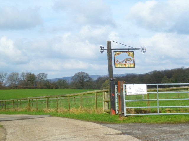
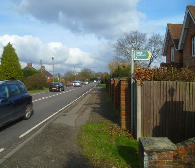
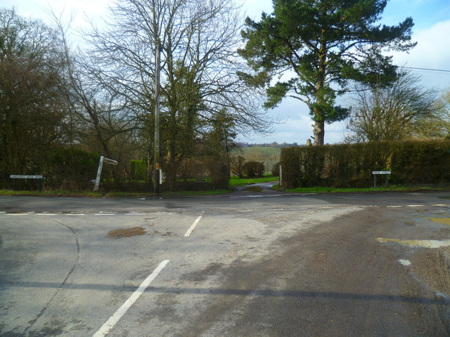
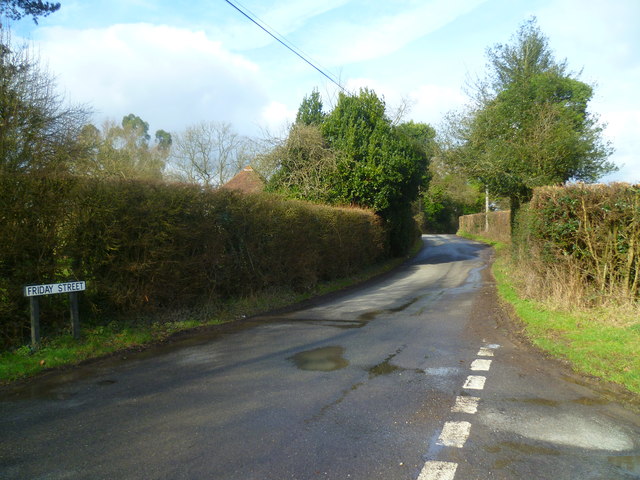
Sourmeadow Copse Images
Images are sourced within 2km of 51.121596/-0.32059872 or Grid Reference TQ1737. Thanks to Geograph Open Source API. All images are credited.


Sourmeadow Copse is located at Grid Ref: TQ1737 (Lat: 51.121596, Lng: -0.32059872)
Administrative County: West Sussex
District: Horsham
Police Authority: Sussex
What 3 Words
///inflict.chairing.beside. Near Capel, Surrey
Nearby Locations
Related Wikis

Shiremark Mill, Capel
Shiremark Mill, also known as Kingsfold Mill or Capel Mill was a listed Smock mill at Capel, Surrey, England, which was burnt down in 1972. == History... ==

Clock House Brickworks
Clock House Brickworks is a 35.9-hectare (89-acre) geological Site of Special Scientific Interest south of Capel in Surrey. It is a Geological Conservation...

Auclaye
Auclaye is a 0.6-hectare (1.5-acre) geological Site of Special Scientific Interest south of Capel in Surrey. It is a Geological Conservation Review site...

Warnham SSSI
Warnham SSSI is a 28.5-hectare (70-acre) geological Site of Special Scientific Interest north of Horsham in West Sussex. It is a Geological Conservation...

Vann Lake and Ockley Woods
Vann Lake and Ockley Woods is a 57.8-hectare (143-acre) biological Site of Special Scientific Interest south of Ockley in Surrey. Vann Lake is part of...

Rusper
Rusper is a village and civil parish in the Horsham District of West Sussex, England. It lies 4.1 miles (6.6 km) north of the town of Horsham and 4.2 miles...

Warnham railway station
Warnham railway station serves the village of Warnham in West Sussex, England. It is 33 miles 46 chains (54.0 km) measured from London Waterloo (although...

Graylands
Graylands is a hamlet in the Horsham district of West Sussex, England. The largely rural hamlet is located north of Holbrook beyond the A264. It is bordered...
Nearby Amenities
Located within 500m of 51.121596,-0.32059872Have you been to Sourmeadow Copse?
Leave your review of Sourmeadow Copse below (or comments, questions and feedback).