Grant's Copse
Wood, Forest in Sussex Horsham
England
Grant's Copse
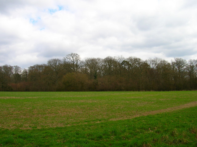
Grant's Copse is a picturesque woodland located in Sussex, England. Covering an area of approximately 50 acres, this enchanting forest is a popular destination for nature enthusiasts and hikers alike. The copse is situated in a rural setting, surrounded by rolling hills and meadows, providing a peaceful and idyllic atmosphere.
The woodland is primarily composed of broadleaf trees, including oak, beech, and ash, which create a dense and vibrant canopy overhead. These majestic trees provide a habitat for a variety of wildlife, such as deer, squirrels, and numerous bird species. The forest floor is adorned with a rich carpet of ferns, moss, and wildflowers, adding to the natural beauty of the area.
Grant's Copse is crisscrossed by a network of well-maintained footpaths and trails, allowing visitors to explore the woodland at their own pace. These paths lead to hidden glades, tranquil ponds, and breathtaking viewpoints, providing numerous opportunities for peaceful reflection and stunning photography.
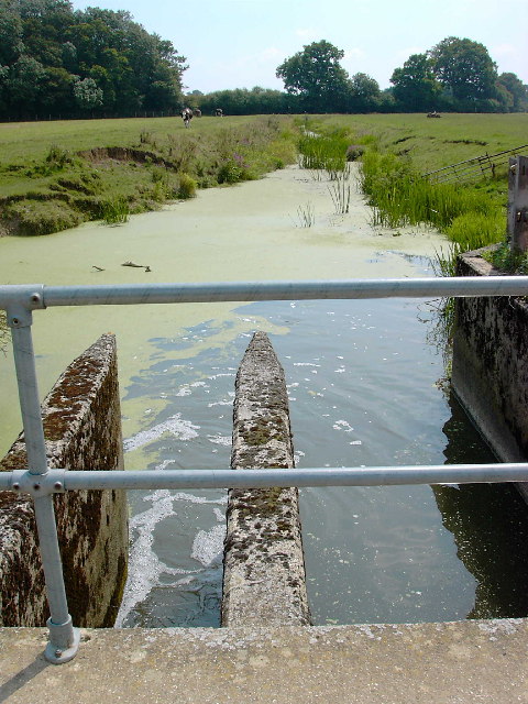
The copse is also home to a diverse range of plant species, including bluebells, primroses, and wood anemones, which create a vibrant display of colors during the spring months. In addition, the woodland boasts a small stream that meanders through its heart, adding to its charm and providing a serene backdrop for leisurely walks.
Overall, Grant's Copse is a haven of natural beauty and tranquility. Whether you are looking for a peaceful escape from the hustle and bustle of everyday life or a chance to immerse yourself in the wonders of nature, this Sussex woodland is the perfect destination.
If you have any feedback on the listing, please let us know in the comments section below.
Grant's Copse Images
Images are sourced within 2km of 50.957865/-0.32656503 or Grid Reference TQ1718. Thanks to Geograph Open Source API. All images are credited.


Grant's Copse is located at Grid Ref: TQ1718 (Lat: 50.957865, Lng: -0.32656503)
Administrative County: West Sussex
District: Horsham
Police Authority: Sussex
What 3 Words
///episodes.eyelashes.scouting. Near Partridge Green, West Sussex
Nearby Locations
Related Wikis
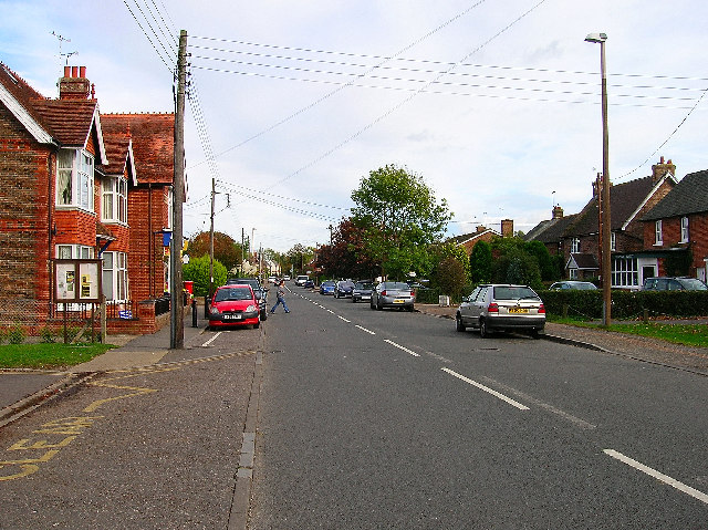
Partridge Green
Partridge Green is a village in the Horsham District of West Sussex, England. It lies on the B2135 road 2.5 miles (4 km) north-west of Henfield. It is...
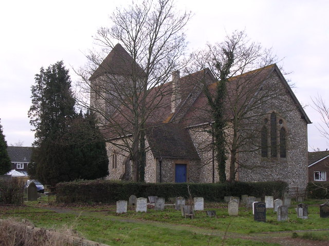
St Michael and All Angels Church, Partridge Green
St Michael and All Angels Church is a late nineteenth-century church in the settlement of Partridge Green in the parish of West Grinstead in West Sussex...

Partridge Green railway station
Partridge Green was a railway station on the Steyning Line which served the village of Partridge Green. The station closed as a result of the Beeching...

Dark Star Brewing Company
Dark Star is a brewery in Partridge Green, Sussex, England. == History == Dark Star Brewery was established in 1994, brewing in the cellar of the Evening...

St George's Church, West Grinstead
St George's Church is an Anglican church in West Grinstead, West Sussex, England. It is in the Diocese of Chichester, occupying a rural position in the...

West Grinstead
West Grinstead is a village and civil parish in the Horsham District of West Sussex, England. It lies just off the B2135 road four miles (6.3 km) northwest...

Bines Green
Bines Green is a hamlet in the Horsham District of West Sussex, England. It lies 1.9 miles (3.1 km) north west of Henfield on the B2135 road between Ashurst...

Littleworth, West Sussex
Littleworth is a hamlet in the Horsham District of West Sussex, England. It lies on the Partridge Green to Maplehurst road 2.9 miles (4.7 km) north of...
Nearby Amenities
Located within 500m of 50.957865,-0.32656503Have you been to Grant's Copse?
Leave your review of Grant's Copse below (or comments, questions and feedback).