North Wood
Wood, Forest in Sussex Horsham
England
North Wood

North Wood, Sussex is a picturesque forest located in the county of Sussex, England. Spread over a vast area, this woodland is known for its natural beauty and diverse flora and fauna. It is situated in close proximity to several charming villages, offering a serene and tranquil environment for visitors and locals alike.
The forest is primarily composed of deciduous trees, such as oak, beech, and birch, which provide a dense canopy that shades the woodland floor. The floor is adorned with an array of wildflowers, creating a vibrant and colorful atmosphere during the spring and summer months.
North Wood is home to a variety of wildlife species, including deer, foxes, badgers, and numerous bird species. The forest provides a natural habitat for these animals, making it a popular destination for wildlife enthusiasts and photographers.
Trails and pathways crisscross the woodland, allowing visitors to explore its beauty on foot or by bike. These paths offer breathtaking views of the surrounding countryside and are well-maintained, ensuring a pleasant and safe experience for all.
The forest also serves as an important recreational area, with designated picnic spots and camping areas available for visitors. It is a popular destination for families and nature lovers, offering opportunities for outdoor activities such as hiking, birdwatching, and nature photography.
Overall, North Wood, Sussex is a cherished natural treasure, providing a haven for wildlife and a scenic escape for visitors seeking to immerse themselves in the beauty of the English countryside.
If you have any feedback on the listing, please let us know in the comments section below.
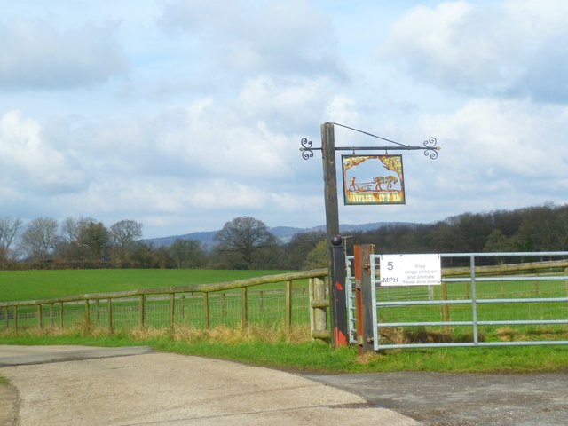
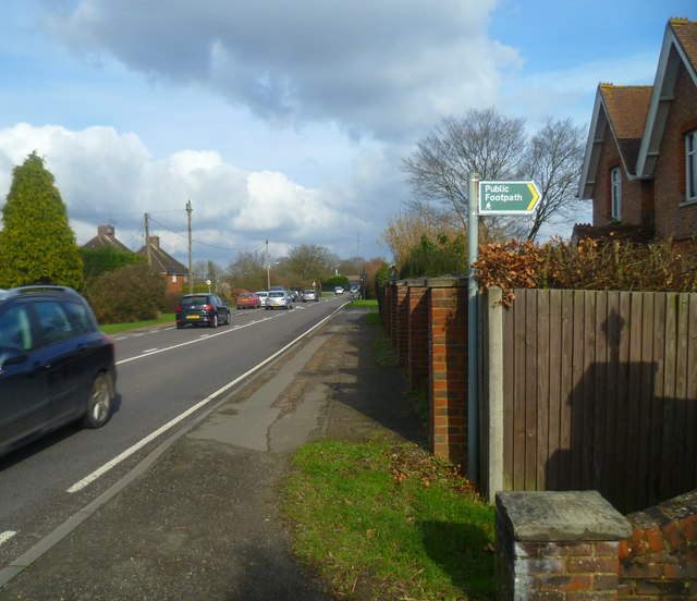
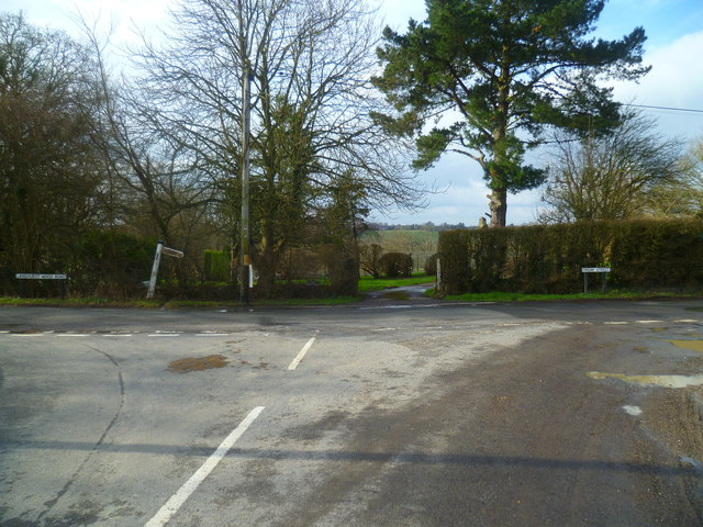
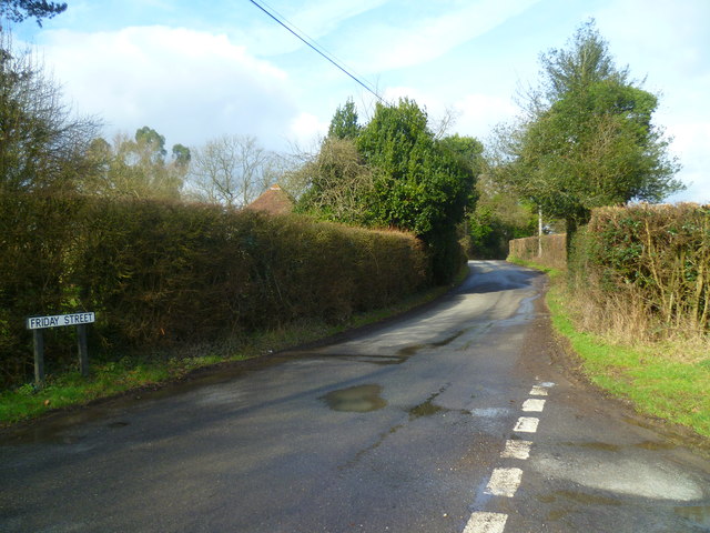
North Wood Images
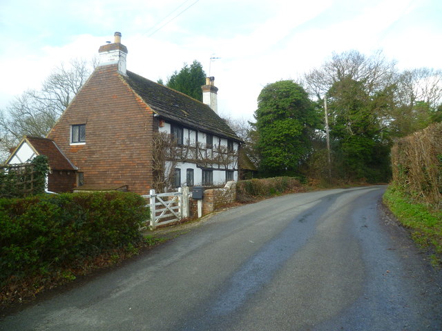
Images are sourced within 2km of 51.124262/-0.32088788 or Grid Reference TQ1737. Thanks to Geograph Open Source API. All images are credited.


North Wood is located at Grid Ref: TQ1737 (Lat: 51.124262, Lng: -0.32088788)
Administrative County: West Sussex
District: Horsham
Police Authority: Sussex
What 3 Words
///compounds.fidgeted.scanner. Near Capel, Surrey
Nearby Locations
Related Wikis

Shiremark Mill, Capel
Shiremark Mill, also known as Kingsfold Mill or Capel Mill was a listed Smock mill at Capel, Surrey, England, which was burnt down in 1972. == History... ==

Clock House Brickworks
Clock House Brickworks is a 35.9-hectare (89-acre) geological Site of Special Scientific Interest south of Capel in Surrey. It is a Geological Conservation...

Auclaye
Auclaye is a 0.6-hectare (1.5-acre) geological Site of Special Scientific Interest south of Capel in Surrey. It is a Geological Conservation Review site...

Warnham SSSI
Warnham SSSI is a 28.5-hectare (70-acre) geological Site of Special Scientific Interest north of Horsham in West Sussex. It is a Geological Conservation...

Vann Lake and Ockley Woods
Vann Lake and Ockley Woods is a 57.8-hectare (143-acre) biological Site of Special Scientific Interest south of Ockley in Surrey. Vann Lake is part of...

Rusper
Rusper is a village and civil parish in the Horsham District of West Sussex, England. It lies 4.1 miles (6.6 km) north of the town of Horsham and 4.2 miles...

Ockley railway station
Ockley railway station serves the villages of Ockley and Capel in Surrey, England and is 1.4 miles (2.3 km) from Ockley village and 0.5 miles (0.80 km...
Capel, Surrey
Capel () is a village and civil parish in southern Surrey, England. It is equidistant between Dorking and Horsham – about 5 miles (8.0 km) away. Around...
Nearby Amenities
Located within 500m of 51.124262,-0.32088788Have you been to North Wood?
Leave your review of North Wood below (or comments, questions and feedback).