Furze Field
Wood, Forest in Sussex Horsham
England
Furze Field

Furze Field is a picturesque woodland located in Sussex, England. Spanning over a vast area, the forest is renowned for its dense collection of trees, predominantly consisting of oak, beech, and ash. The diverse range of flora and fauna found within Furze Field makes it a haven for nature enthusiasts and an ideal destination for outdoor activities.
The woodland's unique charm lies in its peaceful and serene atmosphere. The rustling of leaves, coupled with the sweet melody of birdsong, provides visitors with a tranquil escape from the bustling city life. Walking through the forest, one can witness the intricate beauty of nature as sunlight filters through the canopy, casting enchanting shadows on the forest floor.
Furze Field is not only a sanctuary for wildlife but also a recreational hub for visitors. Numerous walking trails wind through the woodland, offering breathtaking views of the surrounding countryside. Explorers can delve deeper into the forest, stumbling upon hidden streams and small ponds, adding to the magical ambiance of the area.
The woodland's management team ensures the preservation and conservation of this natural treasure. Regular maintenance and sustainable practices are implemented to protect the delicate ecosystem of Furze Field. In addition, educational programs and guided tours are available to educate visitors about the importance of environmental stewardship and the rich history of the woodland.
Furze Field, with its verdant beauty and tranquil ambiance, is a must-visit destination for anyone seeking a peaceful retreat amidst nature's embrace.
If you have any feedback on the listing, please let us know in the comments section below.
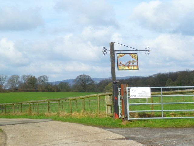
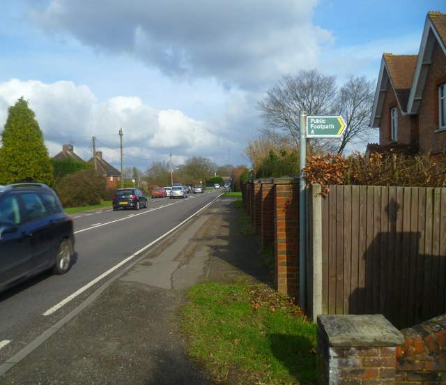
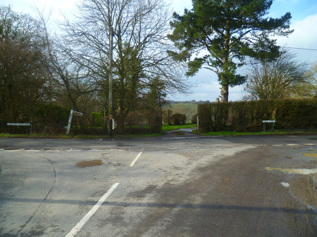
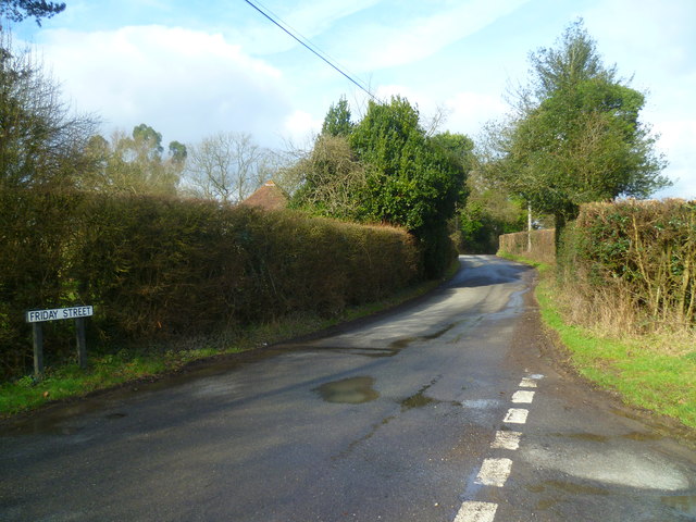
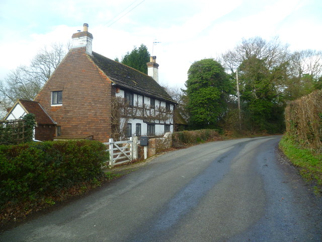
Furze Field Images
Images are sourced within 2km of 51.123989/-0.31815406 or Grid Reference TQ1737. Thanks to Geograph Open Source API. All images are credited.


Furze Field is located at Grid Ref: TQ1737 (Lat: 51.123989, Lng: -0.31815406)
Administrative County: West Sussex
District: Horsham
Police Authority: Sussex
What 3 Words
///circle.discrepancy.yummy. Near Capel, Surrey
Nearby Locations
Related Wikis

Shiremark Mill, Capel
Shiremark Mill, also known as Kingsfold Mill or Capel Mill was a listed Smock mill at Capel, Surrey, England, which was burnt down in 1972. == History... ==

Clock House Brickworks
Clock House Brickworks is a 35.9-hectare (89-acre) geological Site of Special Scientific Interest south of Capel in Surrey. It is a Geological Conservation...

Auclaye
Auclaye is a 0.6-hectare (1.5-acre) geological Site of Special Scientific Interest south of Capel in Surrey. It is a Geological Conservation Review site...

Warnham SSSI
Warnham SSSI is a 28.5-hectare (70-acre) geological Site of Special Scientific Interest north of Horsham in West Sussex. It is a Geological Conservation...

Rusper
Rusper is a village and civil parish in the Horsham District of West Sussex, England. It lies 4.1 miles (6.6 km) north of the town of Horsham and 4.2 miles...

Vann Lake and Ockley Woods
Vann Lake and Ockley Woods is a 57.8-hectare (143-acre) biological Site of Special Scientific Interest south of Ockley in Surrey. Vann Lake is part of...
Capel, Surrey
Capel () is a village and civil parish in southern Surrey, England. It is equidistant between Dorking and Horsham – about 5 miles (8.0 km) away. Around...

Ockley railway station
Ockley railway station serves the villages of Ockley and Capel in Surrey, England and is 1.4 miles (2.3 km) from Ockley village and 0.5 miles (0.80 km...
Nearby Amenities
Located within 500m of 51.123989,-0.31815406Have you been to Furze Field?
Leave your review of Furze Field below (or comments, questions and feedback).