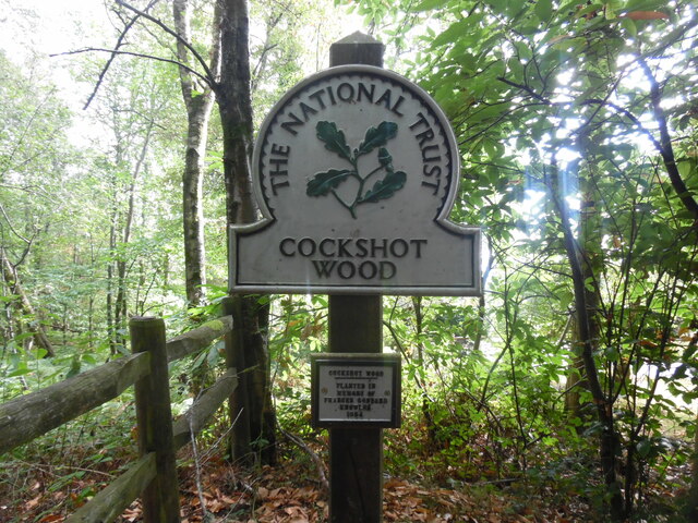
Lower Gill Wood
Wood, Forest in Surrey Mole Valley
England
Lower Gill Wood

Lower Gill Wood is a picturesque woodland located in the county of Surrey, England. Situated near the village of Shamley Green, this enchanting forest covers an area of approximately 30 acres. The wood is part of the larger Gill Wood complex, which also includes Upper Gill Wood and Gill Copse.
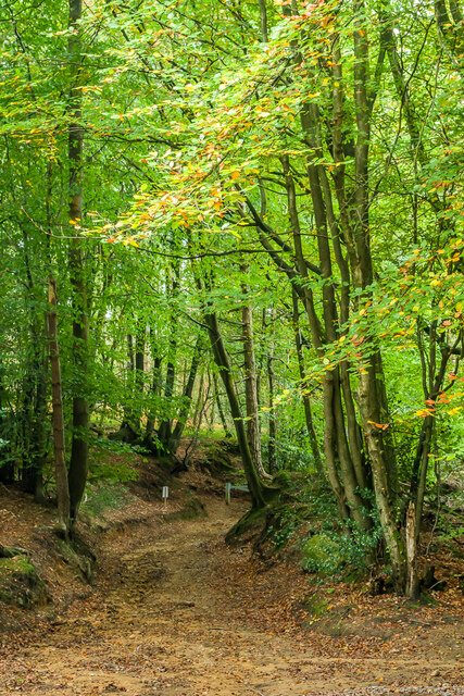
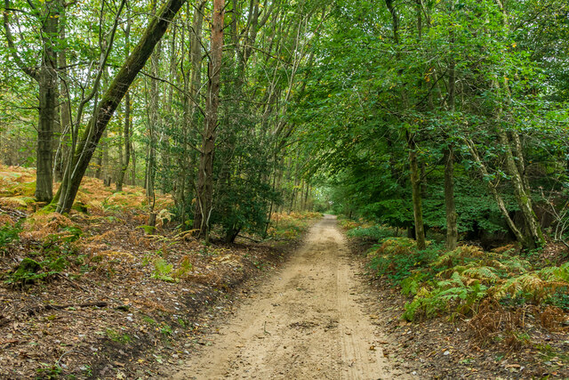
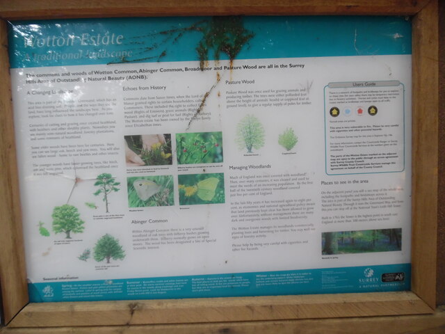
Lower Gill Wood is predominantly composed of native broadleaf trees such as oak, beech, and ash, creating a rich and diverse ecosystem. The canopy of the woodland provides a habitat for a variety of bird species including woodpeckers and owls, as well as small mammals like squirrels and hedgehogs.
The forest floor is adorned with an array of wildflowers, ferns, and mosses, adding to the wood's natural beauty. Spring heralds the arrival of bluebells, transforming the forest into a breathtaking carpet of vibrant blue.
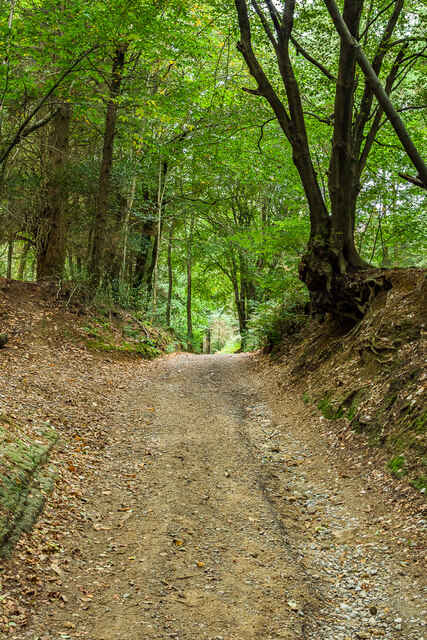
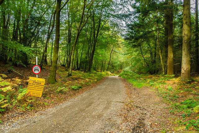
The wood is crisscrossed with a network of well-maintained footpaths, allowing visitors to explore its wonders. Walking through Lower Gill Wood provides a tranquil and peaceful experience, immersing visitors in nature's serenity. The calming sounds of rustling leaves and chirping birds create a soothing ambiance.
Lower Gill Wood is a popular destination for nature lovers, hikers, and photographers seeking to capture the essence of Surrey's natural beauty. Its accessibility and proximity to nearby villages make it a cherished local attraction.
Efforts have been made to preserve the wood's natural state, ensuring that it remains a haven for wildlife and a place of tranquility for generations to come. With its diverse flora and fauna, Lower Gill Wood is a testament to Surrey's rich and captivating woodland heritage.
If you have any feedback on the listing, please let us know in the comments section below.
Lower Gill Wood Images
Images are sourced within 2km of 51.176596/-0.34458164 or Grid Reference TQ1543. Thanks to Geograph Open Source API. All images are credited.


Lower Gill Wood is located at Grid Ref: TQ1543 (Lat: 51.176596, Lng: -0.34458164)
Administrative County: Surrey
District: Mole Valley
Police Authority: Surrey
What 3 Words
///branch.remedy.echo. Near Holmwood, Surrey
Nearby Locations
Related Wikis

Broome Hall
Broome Hall is a Grade II-listed country house with grounds including cottages and outhouses on the wooded, upper southern slopes of the Greensand Ridge...

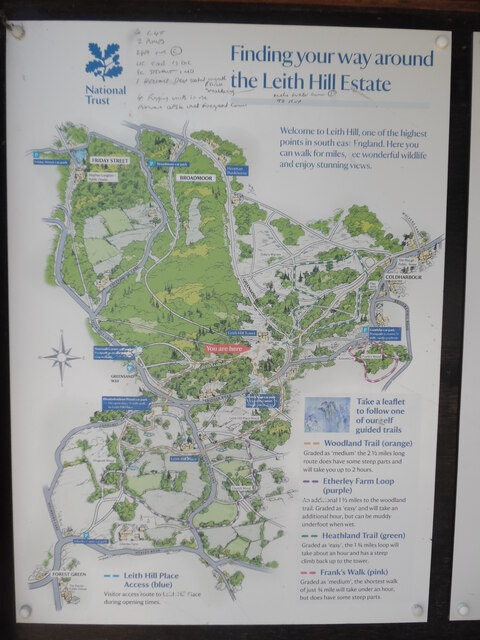
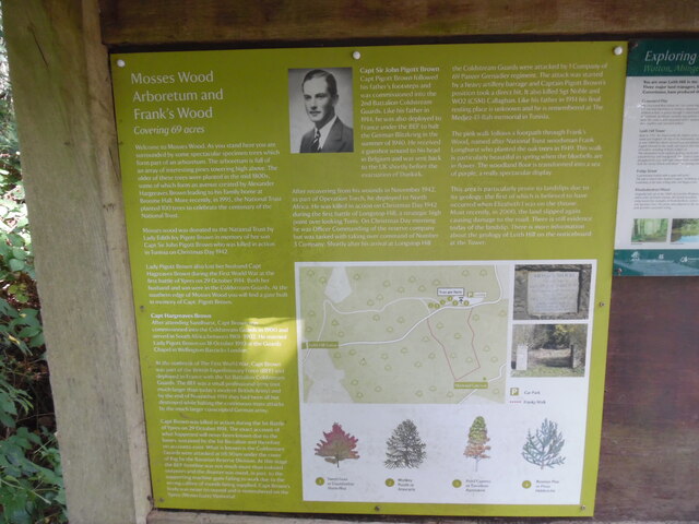
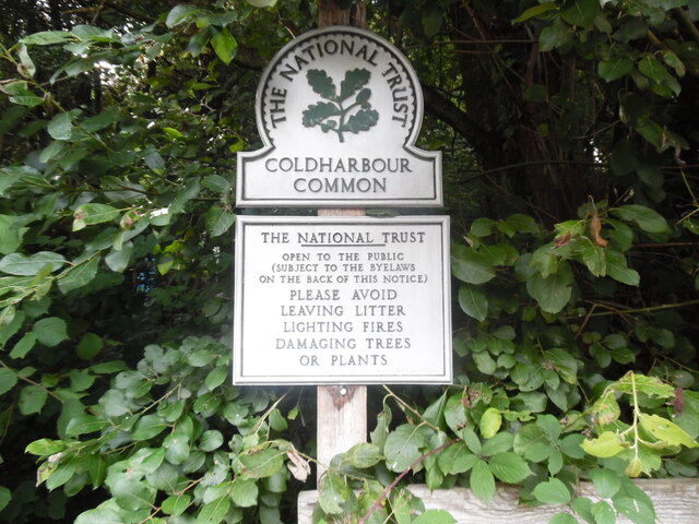
Coldharbour, Surrey
Coldharbour is a hamlet in the Mole Valley district, in the English county of Surrey. It is on a minor road from Dorking to Leith Hill Place. == Description... ==

Holmwood railway station
Holmwood railway station serves the villages of Beare Green and South Holmwood in Surrey, England, on the Sutton and Mole Valley Lines between Dorking...

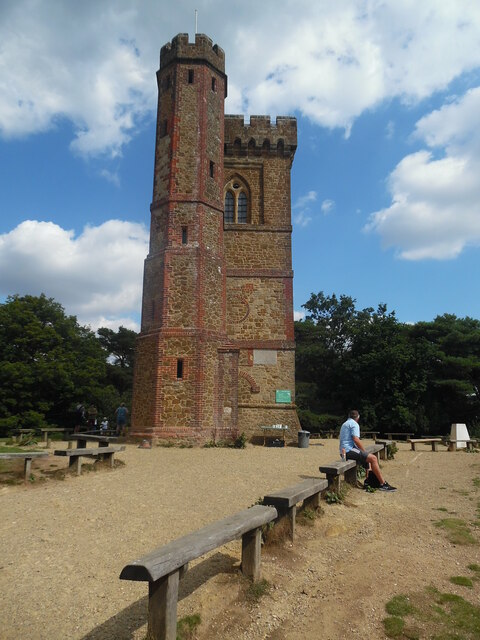
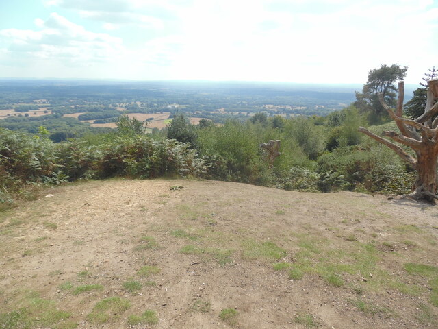
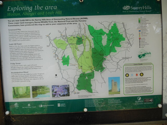
Leith Hill
Leith Hill in southern England is the highest summit of the Greensand Ridge, approximately 6.7 km (4 mi) southwest of Dorking, Surrey and 40.5 km (30 mi...

Leith Hill multiple aircraft accident
On 26 November 1944, four C-47 transport aircraft of the 442nd Operations Group departed from Advanced Landing Ground "A-4 in Pays de la Loire, northern...

Greensand Ridge
The Greensand Ridge, also known as the Wealden Greensand, is an extensive, prominent, often wooded, mixed greensand/sandstone escarpment in south-east...
Greensand Way
The Greensand Way is a long-distance path of 108 miles (174 km) in southeast England, from Haslemere in Surrey to Hamstreet in Kent. It follows the Greensand...

Leith Hill SSSI
Leith Hill SSSI is a 337.9-hectare (835-acre) biological Site of Special Scientific Interest south-east of Dorking in Surrey. The SSSI consists of four...
Nearby Amenities
Located within 500m of 51.176596,-0.34458164Have you been to Lower Gill Wood?
Leave your review of Lower Gill Wood below (or comments, questions and feedback).