Guesses Wood
Wood, Forest in Sussex Horsham
England
Guesses Wood
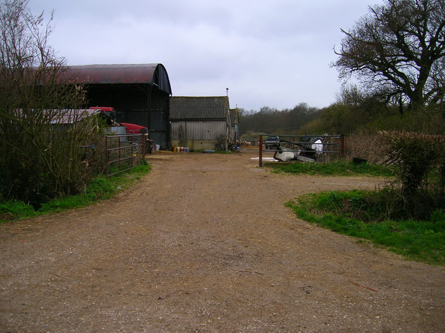
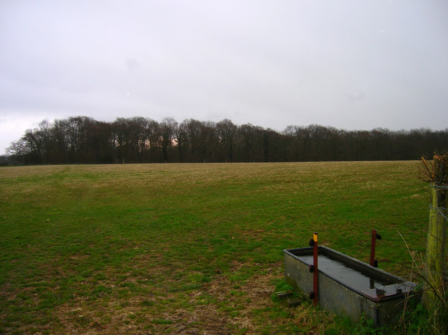
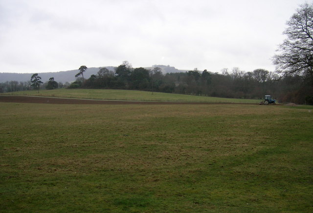
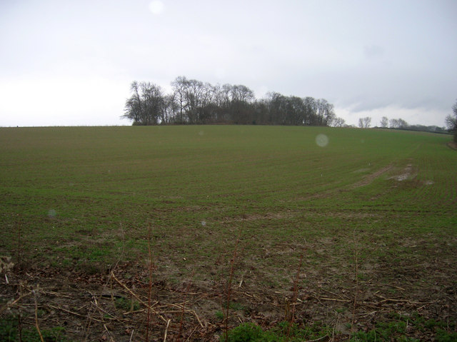
Guesses Wood is a picturesque woodland located in the county of Sussex, England. Spanning over a vast area, the woodland is nestled within the heart of the South Downs National Park, offering visitors a tranquil and serene escape from the bustling city life.
The wood is characterized by its dense canopy of towering trees, primarily consisting of oak, beech, and ash, which provide a rich habitat for a diverse range of flora and fauna. Bluebells and wildflowers carpet the forest floor during the spring season, creating a breathtakingly beautiful sight.
Guesses Wood is a haven for nature enthusiasts and outdoor lovers, offering a plethora of walking trails and hiking routes that meander through the enchanting woodland. These trails cater to all levels of fitness and provide opportunities to witness the abundance of wildlife that calls the wood their home. Squirrels, rabbits, and a variety of bird species are commonly spotted, adding to the magical ambiance of the forest.
For history enthusiasts, Guesses Wood holds a special significance. It is believed that the wood has been an integral part of the landscape for centuries, with evidence of human activity dating back to the Iron Age. Remnants of ancient forts and settlements can still be found within the wood, serving as a reminder of its historical importance.
Whether it's a leisurely stroll, a challenging hike, or an appreciation of the natural beauty and history, Guesses Wood in Sussex offers a captivating experience for all who visit.
If you have any feedback on the listing, please let us know in the comments section below.
Guesses Wood Images
Images are sourced within 2km of 50.920855/-0.35669015 or Grid Reference TQ1514. Thanks to Geograph Open Source API. All images are credited.


Guesses Wood is located at Grid Ref: TQ1514 (Lat: 50.920855, Lng: -0.35669015)
Administrative County: West Sussex
District: Horsham
Police Authority: Sussex
What 3 Words
///lousy.teach.boardroom. Near Ashurst, West Sussex
Nearby Locations
Related Wikis

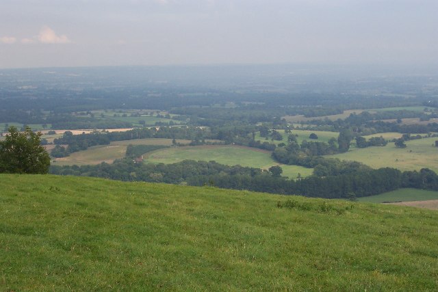
South Downs National Park
The South Downs National Park is England's newest national park, designated on 31 March 2010. The park, covering an area of 1,627 square kilometres (628...

Wiston, West Sussex
Wiston is a scattered village and civil parish in the Horsham District of West Sussex, England. It lies on the A283 road 2.8 miles (4.5 km) northwest of...

Buncton
Buncton () is a small village in the Horsham District of West Sussex, England, part of the civil parish of Wiston 0.5 miles (0.80 km) north. It lies to...
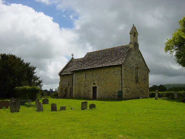
All Saints Church, Buncton
All Saints Church is an Anglican church in the hamlet of Buncton in the district of Horsham, one of seven local government districts in the English county...
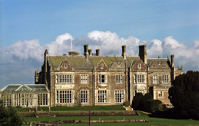
Wiston House
Wiston House is a 16th-century Grade I listed building set in the South Downs National Park on the south coast of England, surrounded by over 6,000 acres...

St James's Church, Ashurst
St James's Church is a Church of England parish church in Ashurst, West Sussex. The church is a grade I listed building and it dates from the early 12th...

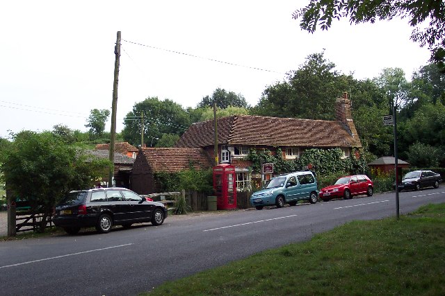
Ashurst, West Sussex
Ashurst is a village and civil parish in the Horsham District of West Sussex, England, about 2 miles (3.2 km) west of Henfield, and 11 miles (18 km) south...

Ashington, West Sussex
Ashington is a village and civil parish in the Horsham District of West Sussex, England. It lies on the A24 road 3 miles (4.8 km) north-east of Storrington...
Nearby Amenities
Located within 500m of 50.920855,-0.35669015Have you been to Guesses Wood?
Leave your review of Guesses Wood below (or comments, questions and feedback).